File:PineIslandMap.jpg
Jump to navigation
Jump to search
No higher resolution available.
PineIslandMap.jpg (640 × 452 pixels, file size: 50 KB, MIME type: image/jpeg)
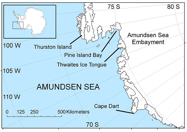
Description English: Map of the Amundsen Sea area of Antarctica Date 30 April 2009 Source Own work Author Polargeo
File history
Click on a date/time to view the file as it appeared at that time.
| Date/Time | Thumbnail | Dimensions | User | Comment | |
|---|---|---|---|---|---|
| current | 23:13, 1 May 2018 | | 640 × 452 (50 KB) | Westarctica (talk | contribs) |
You cannot overwrite this file.
File usage
The following page uses this file: