File:Tucker Point.png
Jump to navigation
Jump to search
Size of this preview: 800 × 513 pixels. Other resolution: 1,087 × 697 pixels.
Original file (1,087 × 697 pixels, file size: 1.15 MB, MIME type: image/png)
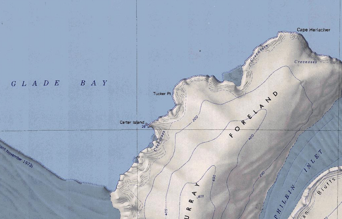
Map of the Murray Foreland showing Tucker Point, Carter Island, and Glade Bay.
File history
Click on a date/time to view the file as it appeared at that time.
| Date/Time | Thumbnail | Dimensions | User | Comment | |
|---|---|---|---|---|---|
| current | 16:43, 14 October 2019 | | 1,087 × 697 (1.15 MB) | Westarctica (talk | contribs) |
You cannot overwrite this file.
File usage
The following 2 pages use this file: