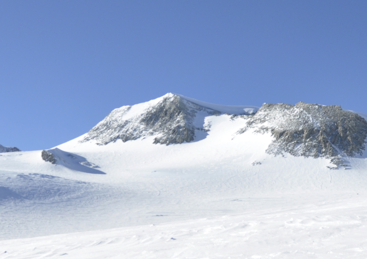
Vinson Massif
Vinson Massif (/ˈvɪnsən mæˈsiːf/) is a large mountain massif in Antarctica that is 21 km (13 mi) long and 13 km (8.1 mi) wide and lies within the Sentinel Range of the Ellsworth Mountains. It overlooks the Ronne Ice Shelf near the base of the Antarctic Peninsula. The massif is located about 1,200 kilometers (750 mi) from the South Pole.
Mount Vinson is the highest peak in Antarctica, at 4,892 meters (16,050 ft). It lies in the north part of Vinson Massif’s summit plateau in the south portion of the main ridge of the Sentinel Range about 2 kilometers (1.2 mi) north of Hollister Peak.
Discovery and name
Vinson Massif was discovered in January 1958 by U.S. Navy aircraft. In 1961, the mountain was named by the Advisory Committee on Antarctic Names (US-ACAN), after Carl G. Vinson, United States congressman from the state of Georgia, for his support for Antarctic exploration. On 1 November 2006, US-ACAN declared Mount Vinson and Vinson Massif to be separate entities.
Climbing
It was first climbed in 1966 by an American team led by Nicholas Clinch. An expedition in 2001 was the first to climb via the Eastern route, and also took GPS measurements of the height of the peak. As of February 2010, 1,400 climbers have attempted to reach the top of Mount Vinson.
