Category:Maps
Jump to navigation
Jump to search
The printable version is no longer supported and may have rendering errors. Please update your browser bookmarks and please use the default browser print function instead.
Media in category "Maps"
The following 18 files are in this category, out of 218 total.
(previous page) (next page) Smythe-Shoulder.jpg 628 × 605; 364 KB
 Stanford Nunatak.jpg 615 × 461; 96 KB
 Stanford Plateau.jpg 650 × 405; 163 KB
 Steventon-Island-Map.png 914 × 602; 773 KB
 Strauss Glacier.jpg 773 × 744; 215 KB
 Strawn Pass.png 560 × 545; 579 KB
 Tapley-Mountains.png 611 × 428; 560 KB
 Tasch Peak.jpg 665 × 434; 258 KB
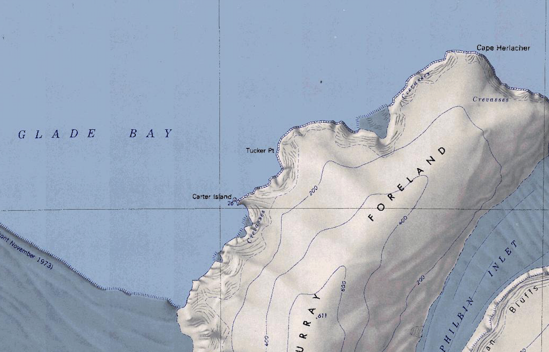 Tucker Point.png 1,087 × 697; 1.15 MB
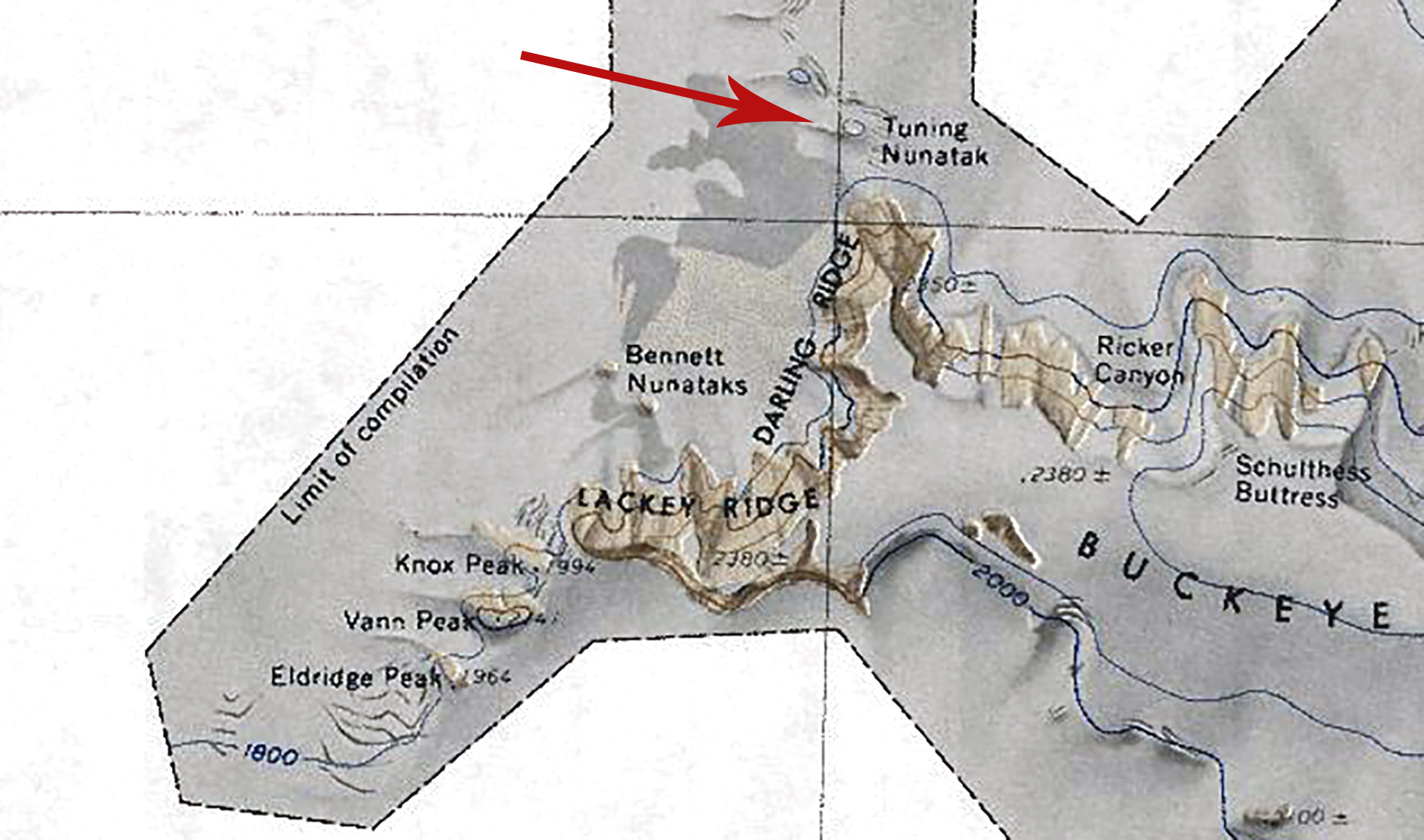 Tuning Nunatak.jpg 1,881 × 1,110; 381 KB
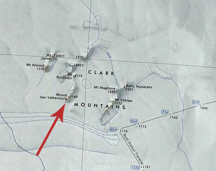 Van Valkenburg.jpg 435 × 344; 118 KB
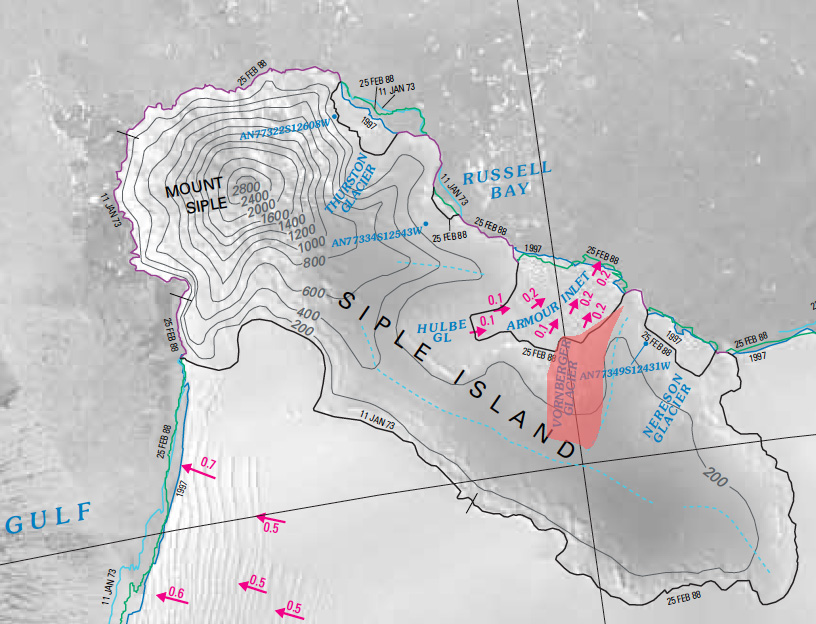 Vornberger-Glacier.jpg 816 × 624; 210 KB
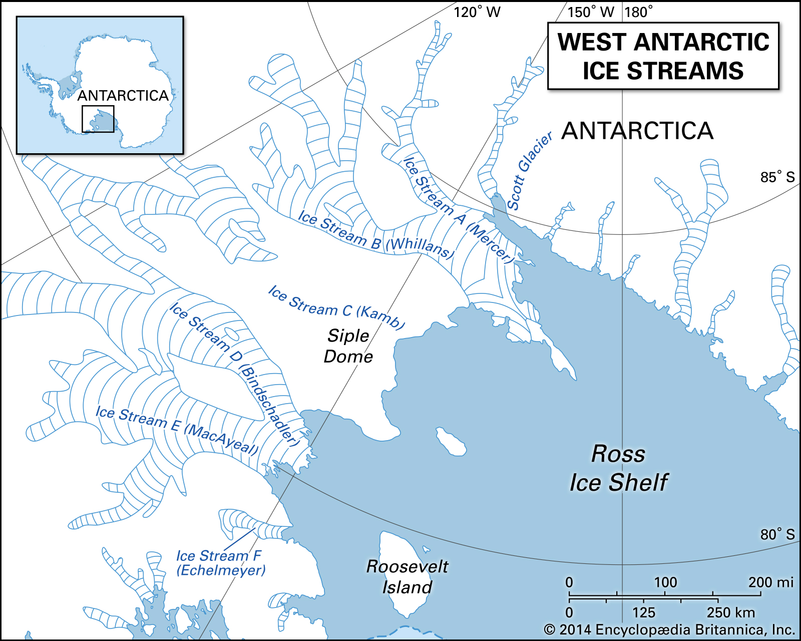 Westarctica Ice Streams.jpg 1,600 × 1,280; 908 KB
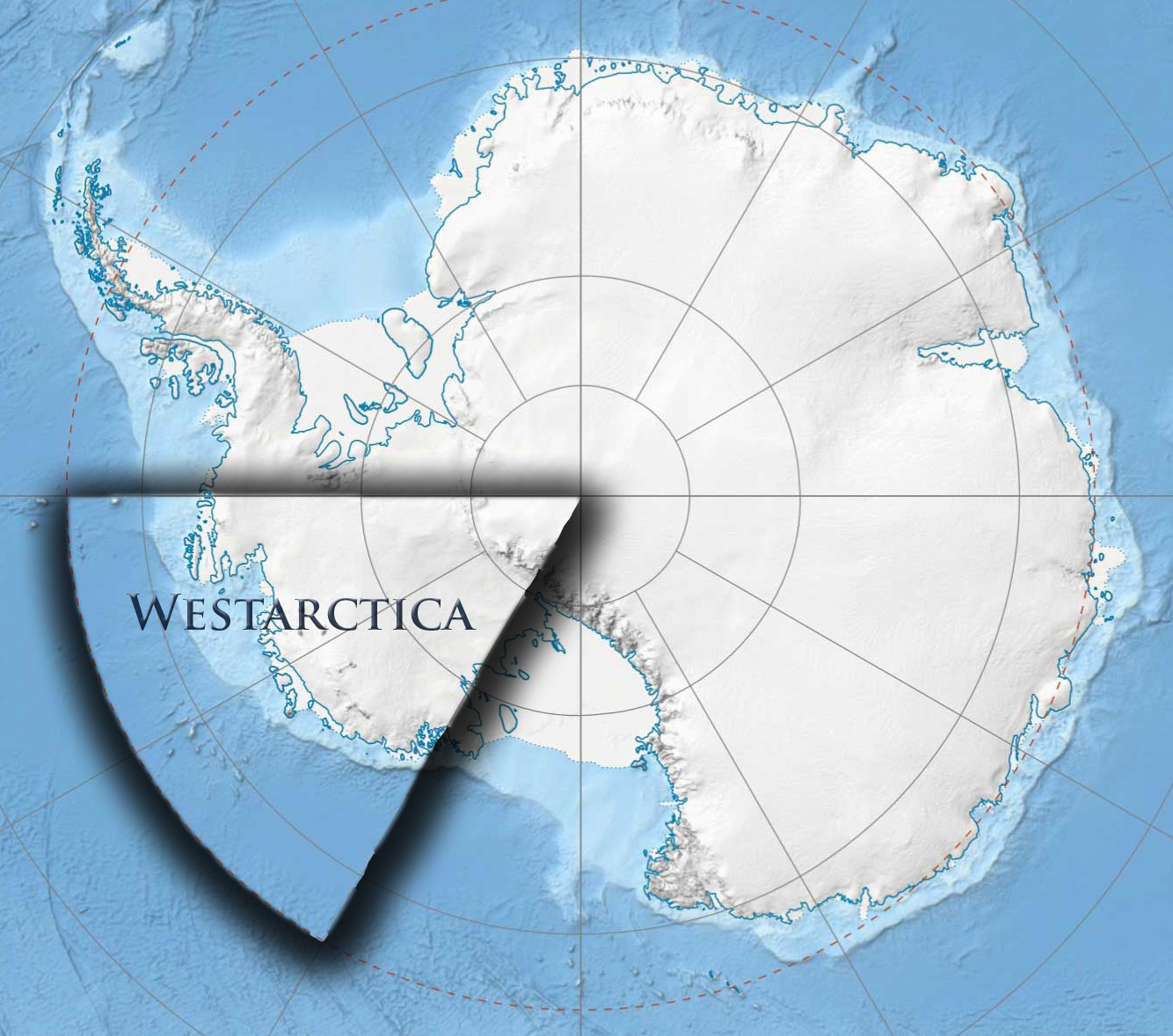 Westarctica Map.jpg 1,334 × 1,178; 377 KB
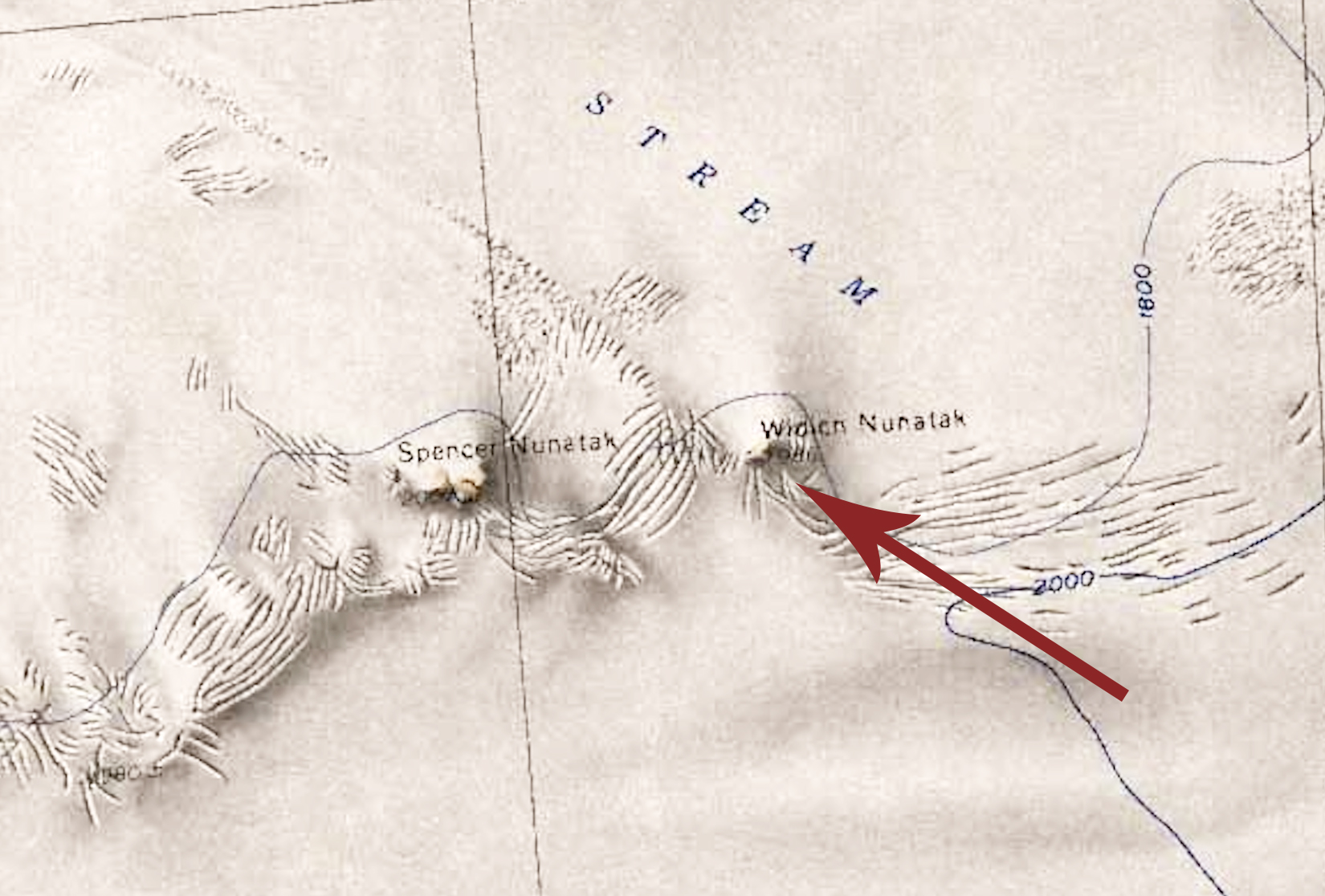 Widich Nunatak.jpg 1,650 × 1,116; 655 KB
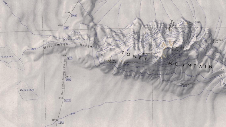 Williamson Ridge Map.png 747 × 419; 557 KB
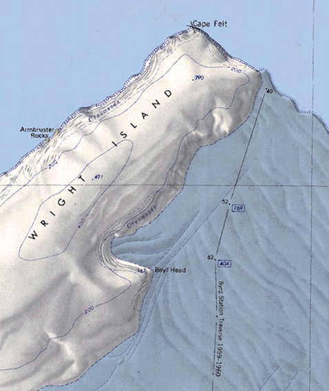 Wright-Island.png 478 × 569; 445 KB
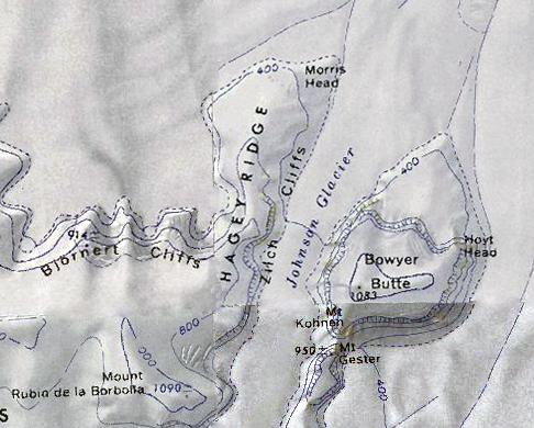 Zilch Cliffs.jpg 486 × 390; 188 KB


