File:Perry-Demas-Range.png
Revision as of 17:56, 2 December 2019 by Westarctica (talk | contribs)
The printable version is no longer supported and may have rendering errors. Please update your browser bookmarks and please use the default browser print function instead.
No higher resolution available.
Perry-Demas-Range.png (682 × 508 pixels, file size: 738 KB, MIME type: image/png)
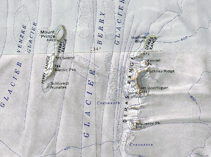
Map showing the Perry Range (L) and the Demas Range (R).
File history
Click on a date/time to view the file as it appeared at that time.
| Date/Time | Thumbnail | Dimensions | User | Comment | |
|---|---|---|---|---|---|
| current | 17:56, 2 December 2019 | | 682 × 508 (738 KB) | Westarctica (talk | contribs) |
You cannot overwrite this file.
File usage
The following 2 pages use this file: