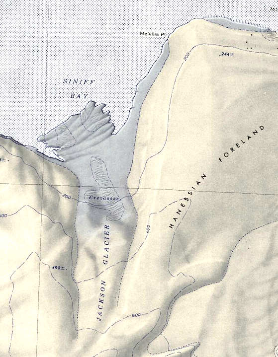
Hanessian Foreland
The Hanessian Foreland (74°42′S 135°15′W) is a relatively low, snow-covered peninsula, over 20 nautical miles (37 km) long and 10 nautical miles (19 km) wide, on the coast of Westarctica.
Directly adjacent to the MacDonald Heights, it extends seaward between Siniff Bay and the western end of the Getz Ice Shelf.
Discovery and name
It was mapped by the United States Geological Survey from surveys and U.S. Navy aerial photography taken during the years 1959–65.
The foreland was named by the Advisory Committee on Antarctic Names after John Hanessian, Jr. (1925–74), of George Washington University, Washington, D.C. Hanessian was a noted authority on political science and international affairs and at the time of his death, he was working with the National Science Foundation. From 1954–58, he served on the National Academy of Sciences staff and made a substantial contribution to the Committee on Polar Research in the planning and carrying out of the United States International Geophysical Year program.
