Difference between revisions of "Land Glacier"
Jump to navigation
Jump to search
Westarctica (talk | contribs) |
Westarctica (talk | contribs) |
||
| (One intermediate revision by the same user not shown) | |||
| Line 1: | Line 1: | ||
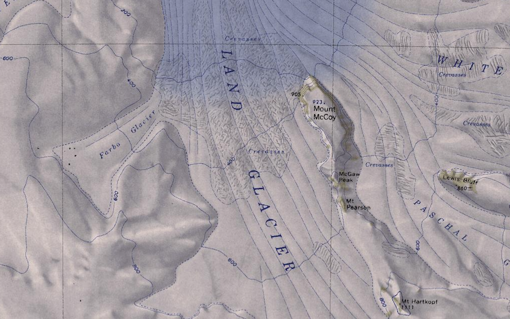
[[File:Land-Glacier-Map.png|400px|thumb|Map showing the Land Glacier in relation to Mount McCoy.]] | [[File:Land-Glacier-Map.png|400px|thumb|Map showing the Land Glacier in relation to Mount McCoy.]] | ||
The '''Land Glacier''' (75°40′S 141°45′W) is a broad, heavily [[crevasse]]d [[glacier]], about 35 nautical miles (60 km) long, descending into [[Land Bay]] in [[Westarctica]]. | The '''Land Glacier''' (75°40′S 141°45′W) is a broad, heavily [[crevasse]]d [[glacier]], about 35 nautical miles (60 km) long, descending into [[Land Bay]] in [[Westarctica]]. | ||
[[Milan Rock]] lies at the glacier's head to the south. | |||
==Discovery and name== | ==Discovery and name== | ||
Latest revision as of 08:33, 18 January 2019
The Land Glacier (75°40′S 141°45′W) is a broad, heavily crevassed glacier, about 35 nautical miles (60 km) long, descending into Land Bay in Westarctica.
Milan Rock lies at the glacier's head to the south.
Discovery and name
It was discovered by the U.S. Antarctic Service (1939–41) and named for Rear Admiral Emory S. Land, Chairman of the U.S. Maritime Commission.
