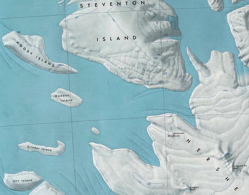
Orr Island
Revision as of 16:27, 18 December 2019 by Westarctica (talk | contribs) (Created page with "thumb|350px|Map showing location of Orr Island in relation to other islands in the Marshall Archipelago '''Orr Island''' is an ice-covered is...")
Orr Island is an ice-covered island 9.3 kilometers (5 nmi) long, lying 5.6 kilometers (3 nmi) southwest of Grinder Island in the Marshall Archipelago, off the coast of Westarctica.
Discovery and name
The island was mapped by the United States Geological Survey from surveys and U.S. Navy air photos taken during the years 1959-65. Orr Island was named by the Advisory Committee on Antarctic Names (US-ACAN) in honor of Lieutenant Commander Thomas E. Orr, who served as a Supply Officer and Officer-in-Charge of the Para-Rescue Team of U.S. Navy Squadron VX-6 during Operation Deep Freeze in 1968.
