Sabrina Island
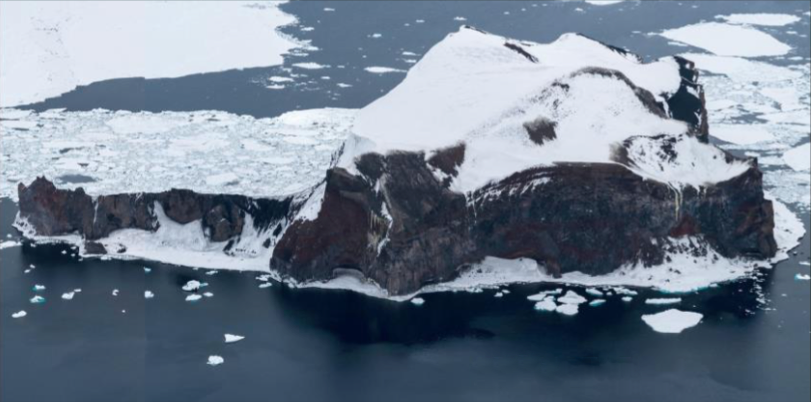
Revision as of 04:43, 9 April 2018 by Westarctica (talk | contribs) (Created page with "thumb|Sabrina Island from the air '''Sabrina Island''' is the largest of three small islets lying 1.5 km (0.93 mi) south of Buckle Island in t...")
Sabrina Island is the largest of three small islets lying 1.5 km (0.93 mi) south of Buckle Island in the Balleny Islands off the coast of continental Antarctica.
Discovery and name
The island was discovered by whaling captain John Balleny in 1839. It was named for the Sabrina, the cutter captained by Thomas Freeman during the expedition.
Animal life
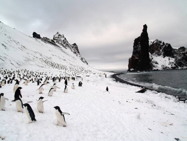
The island has outstanding environmental and scientific value as a representative sample of the Balleny Islands – the only oceanic archipelago located within the main Antarctic Coastal Current. It is a breeding site for chinstrap and Adélie penguins as well as Cape petrels.
The site is protected under the Antarctic Treaty System as Antarctic Specially Protected Area (ASPA) No.104.

