Search results
Jump to navigation
Jump to search
Page title matches
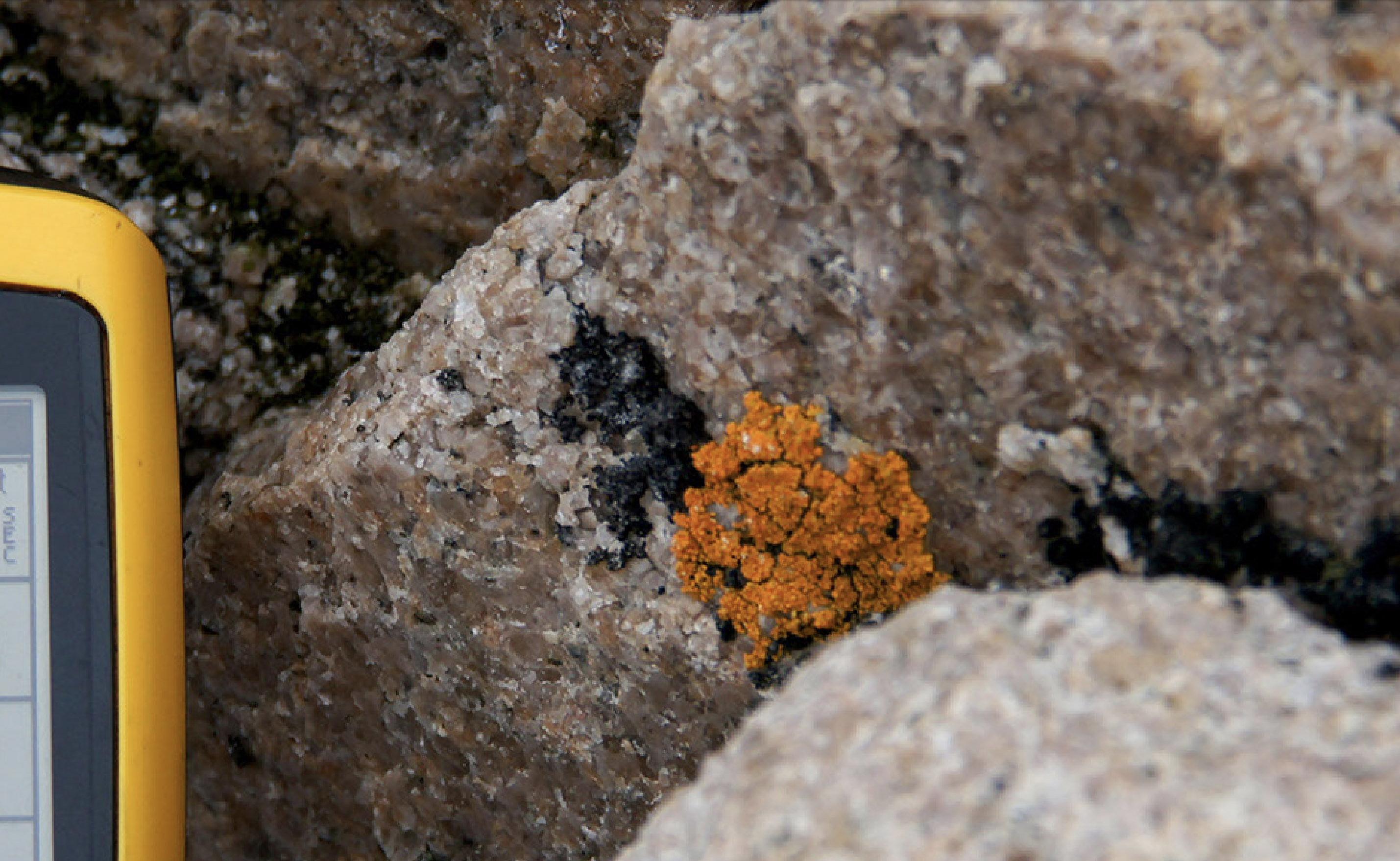
File:Brownson Island Lichens.jpg (2,858 × 1,758 (819 KB)) - 22:49, 26 June 2020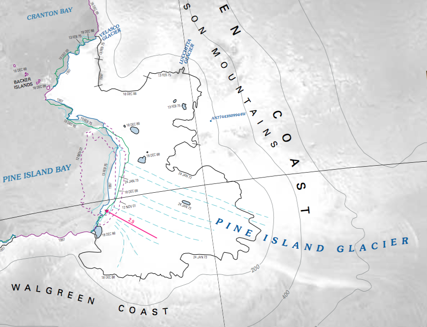
File:Pine Island Map.png Detailed map showing the features surrounding the Pine Island Glacier.(867 × 665 (443 KB)) - 18:14, 10 September 2019
File:Flag Island 1.jpg Location: D'Hainaut Island(1,613 × 1,210 (725 KB)) - 15:07, 2 December 2023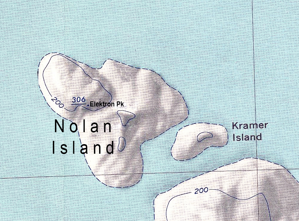
File:Nolan Island update.jpg Description: Map of Nolan Island in Antarctica.(1,001 × 739 (940 KB)) - 19:51, 22 August 2023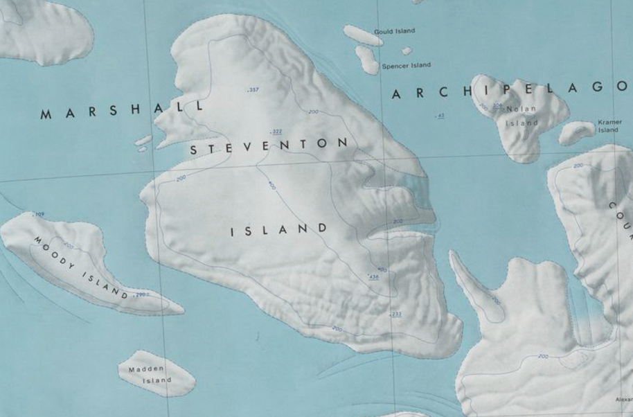
File:Steventon-Island-Map.png Map showing Steventon Island and surrounding islands in the Marshall Archipelago.(914 × 602 (773 KB)) - 19:24, 8 November 2019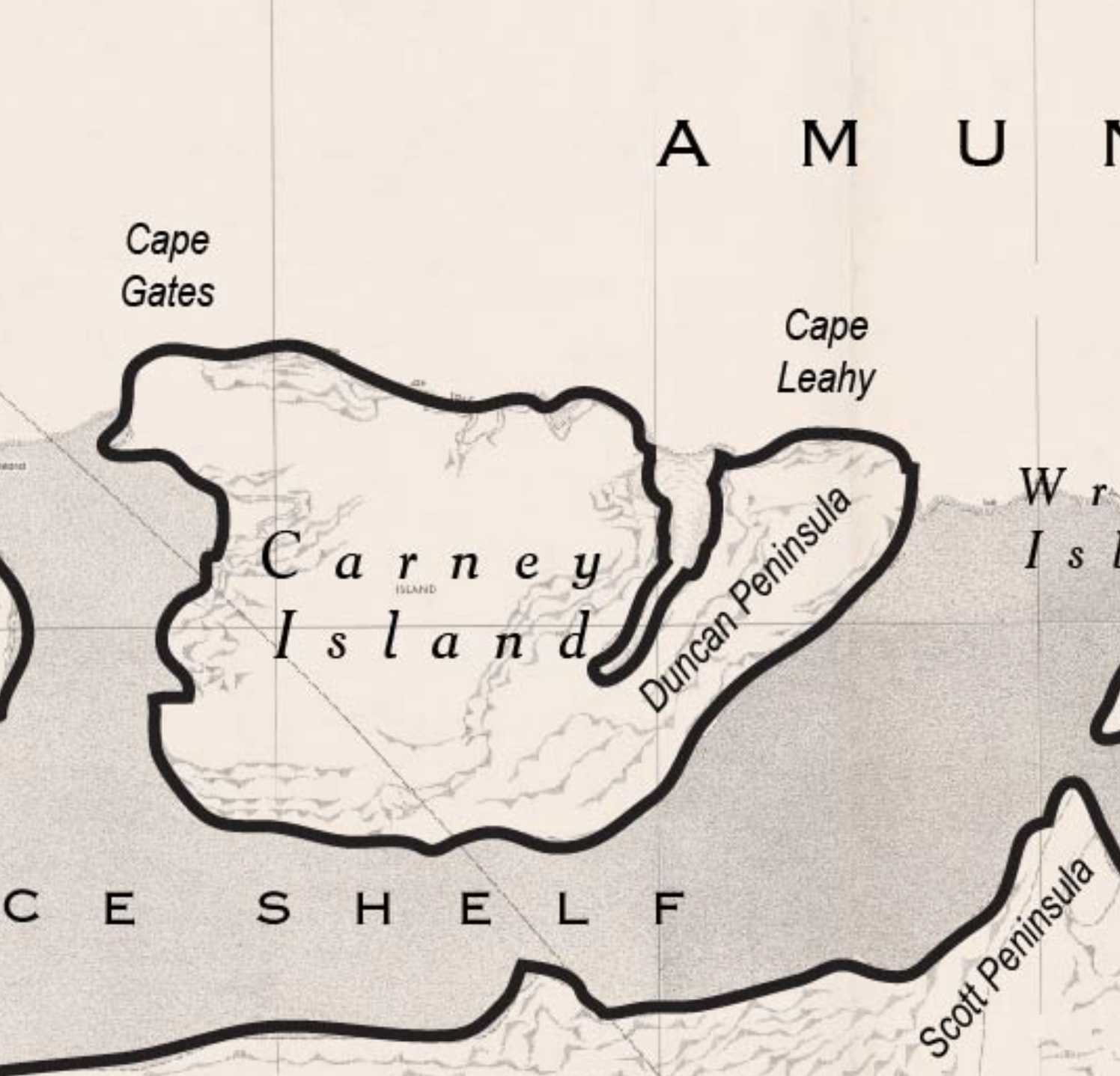
File:Carney Island Map.png Map of Carney Island, Antarctica.(1,496 × 1,438 (1.91 MB)) - 20:36, 10 September 2021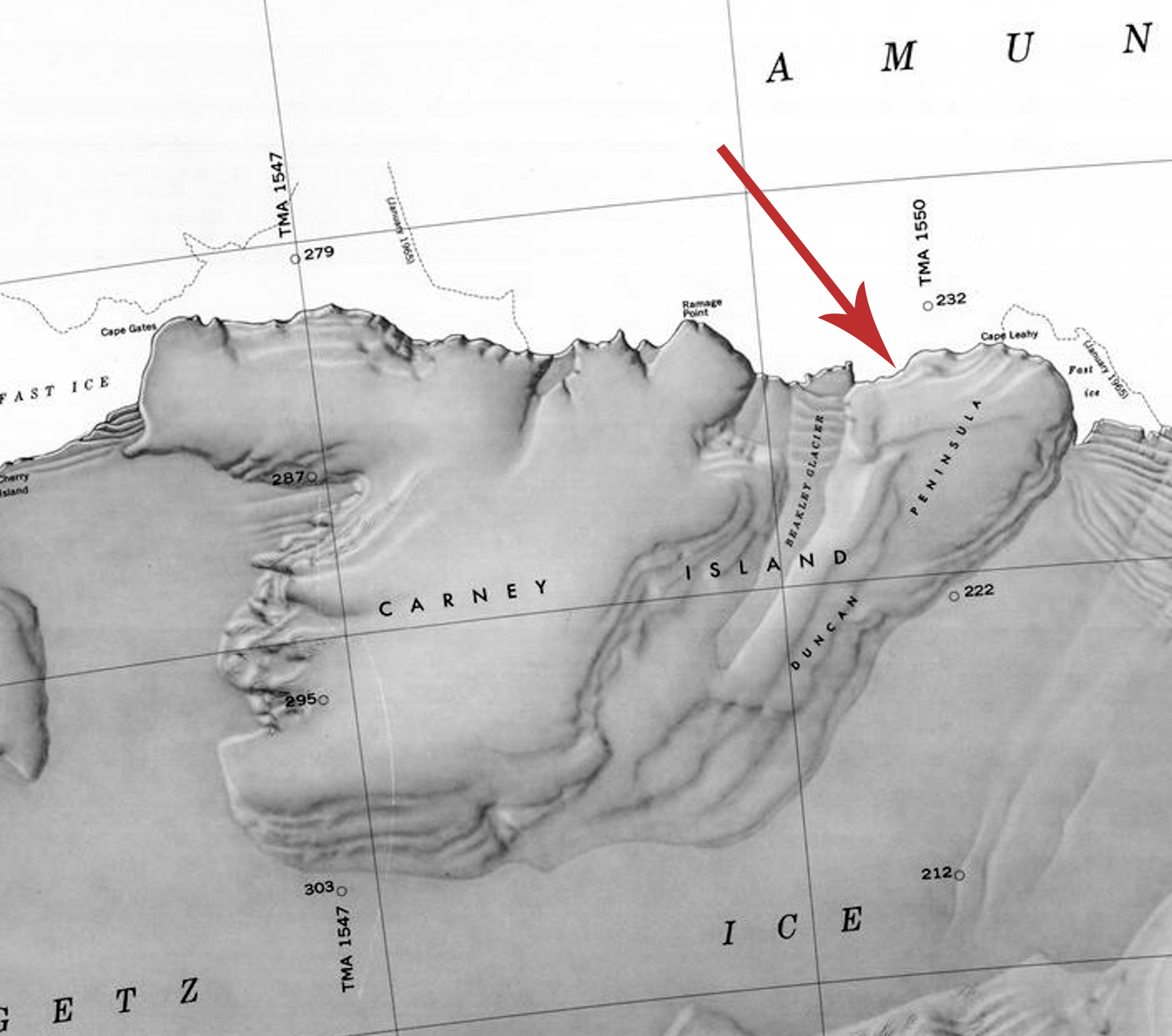
File:Carney-Island-Map.jpg Map of Carney Island, Antarctica, showing the location of the Duncan Peninsula.(1,798 × 1,590 (597 KB)) - 09:49, 22 April 2020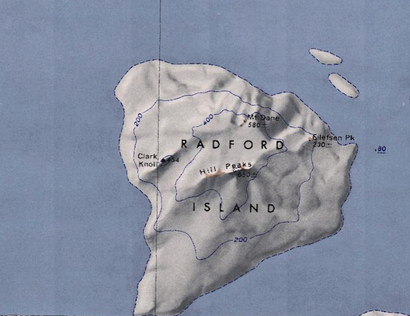
File:Radford-Island-Map.png Map of Radford Island in the Marshall Archipelago of Westarctica.(807 × 623 (779 KB)) - 19:54, 8 November 2019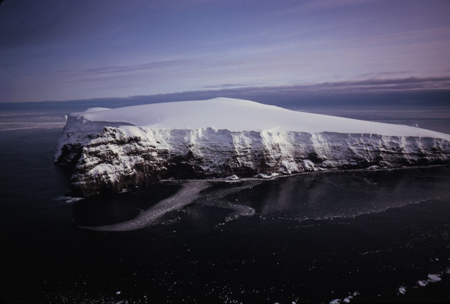
File:Borradaile Island - Balleny.jpg Description: Borradaile Island, Balleny Group Location: Borradaile Island(881 × 595 (91 KB)) - 21:30, 16 March 2019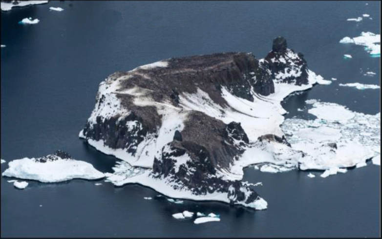
File:Chinstrap Island Picture.png Oblique aerial picture of Chinstrap Island, in the Balleny Islands. Location: Chinstrap Island, Balleny Islands(782 × 490 (501 KB)) - 21:58, 13 January 2019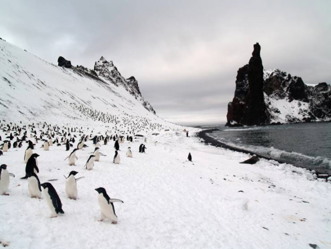
File:Sabrina Island South.png Penguin colony on the narrow beach of the southern tip of Sabrina Island. The Monolith is in the background.(659 × 495 (497 KB)) - 08:47, 7 February 2019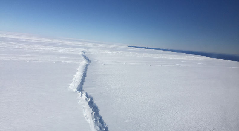
File:Pine Island - rift.jpg A new rift in West Antarctica’s Pine Island Glacier, photographed during a NASA Operation IceBridge flyover on November(800 × 438 (34 KB)) - 21:26, 20 April 2018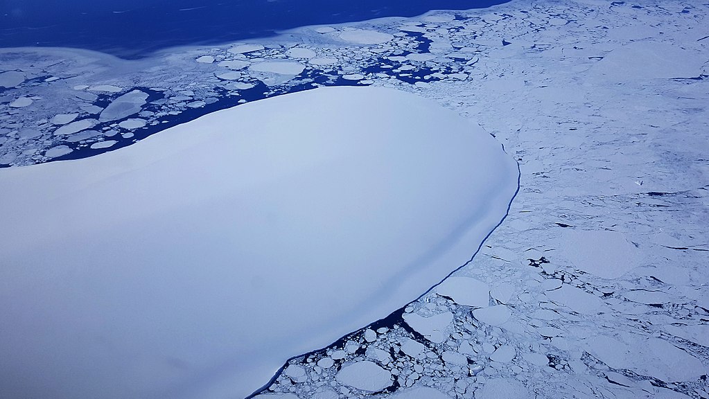
File:Burke Island Ice.jpg Burke Island on approach to the data line. (NASA/Brooke Medley)(1,023 × 576 (135 KB)) - 21:26, 20 April 2018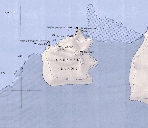
File:Shepard Island Map.png Map of Shepard Island showing Western edge of Grant Island.(597 × 519 (515 KB)) - 06:48, 18 April 2018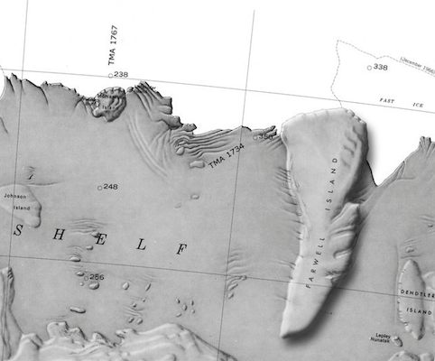
File:Farwell Island Map.png Map of Farwell Island(482 × 400 (202 KB)) - 20:07, 28 April 2018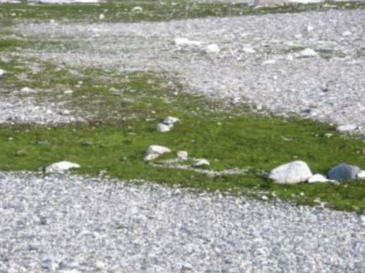
File:Lindsey Island Algae.png ...crispa'' algae in bloom on Lindsey Island. This algae is prominent on the island due to the biosoils deposited by the penguin colonies there.(717 × 537 (665 KB)) - 19:43, 7 July 2018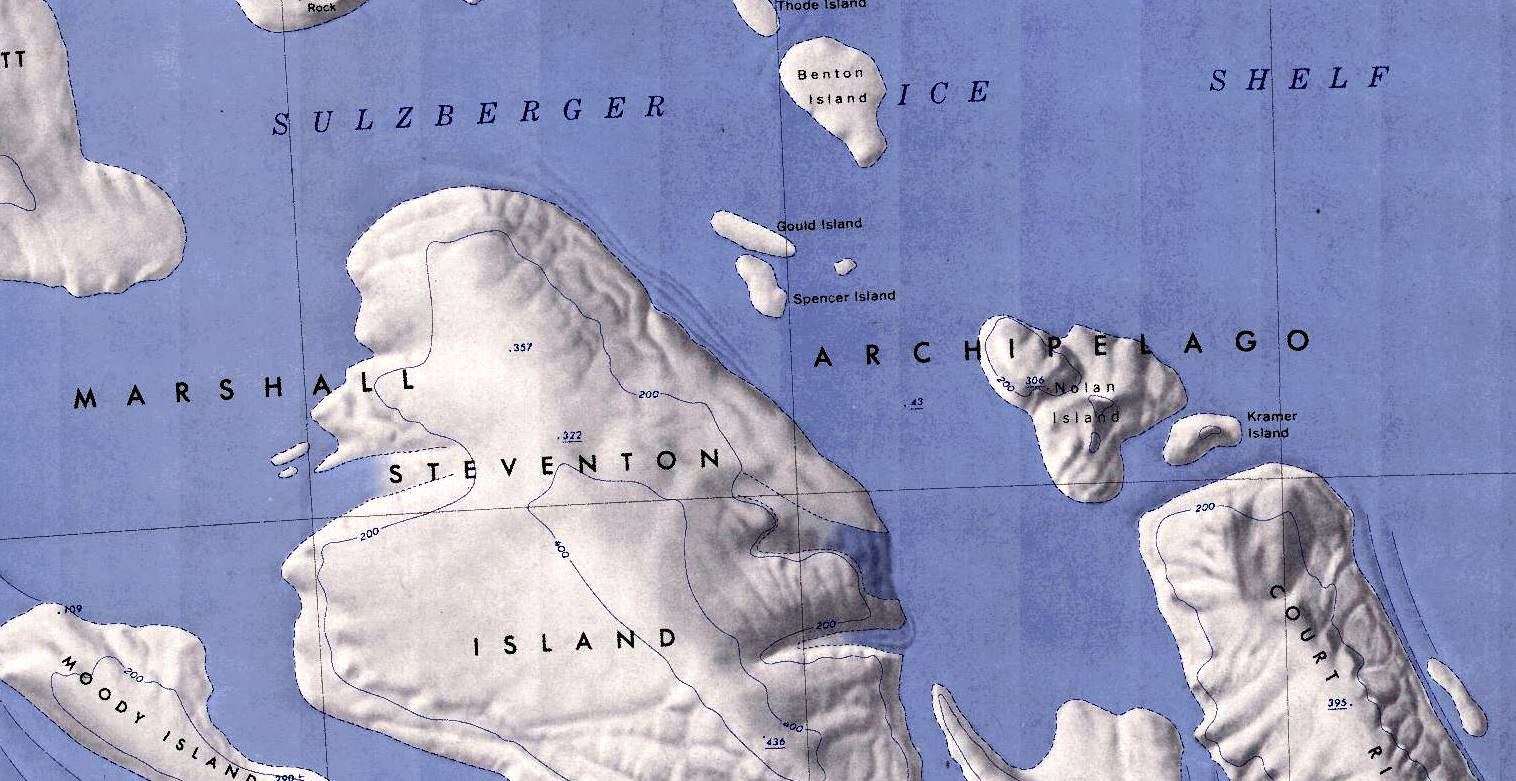
File:Benton-Island-Map.jpg Map showing Benton Island in the Marshall Archipelago(1,516 × 781 (219 KB)) - 02:07, 12 September 2018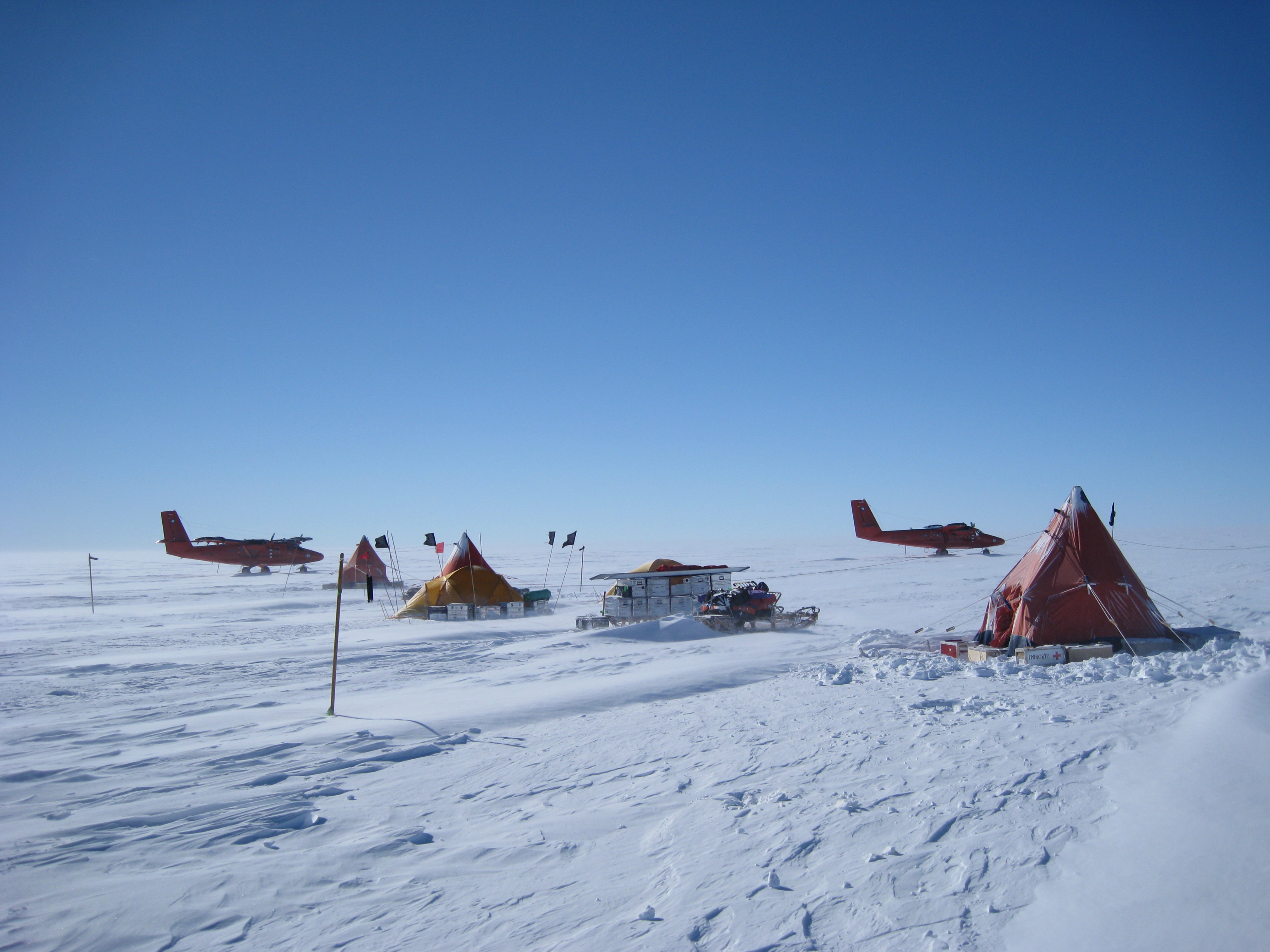
File:Pine-Island-Fieldcamp.jpg Description: British Antarctic Survey fieldcamp on Pine Island Glacier(3,264 × 2,448 (1.49 MB)) - 06:22, 4 October 2018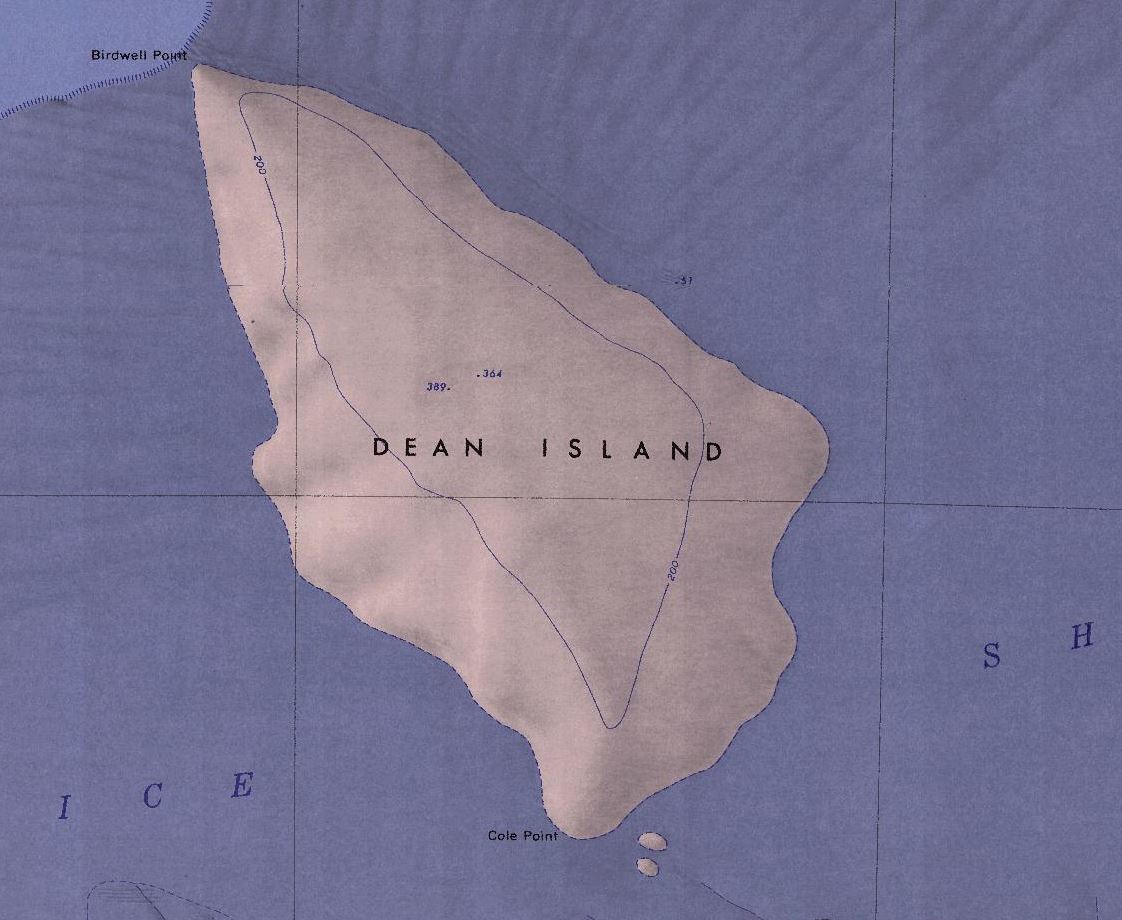
File:Dean-Island-Map.jpg Map of Dean Island.(1,122 × 920 (136 KB)) - 19:25, 30 April 2018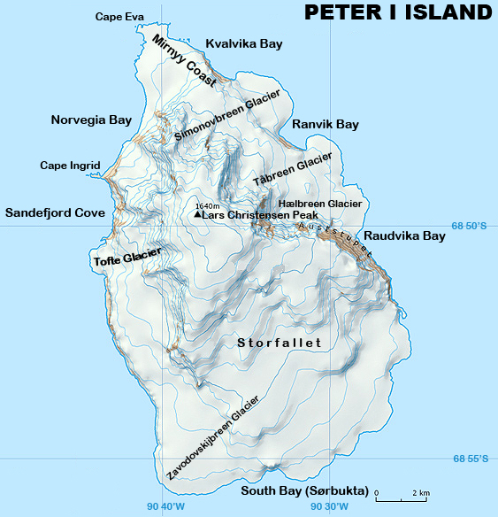
File:Peter I Island Map.jpg Description: Highly detailed map of Peter I Island.(563 × 584 (297 KB)) - 08:09, 1 December 2019


Page text matches
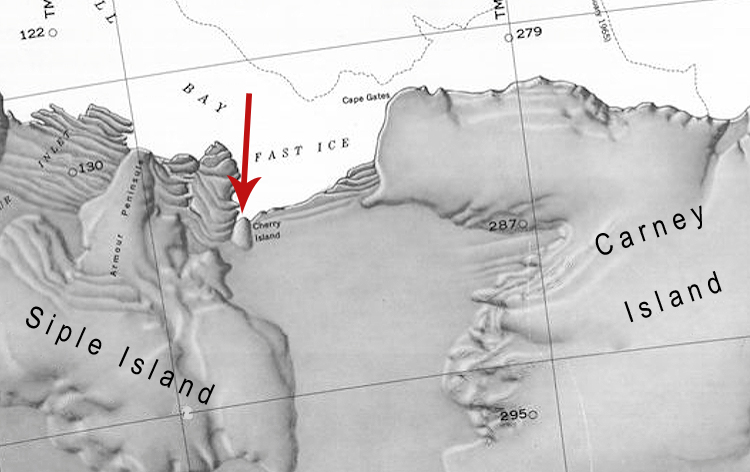
File:Cherry-Island.jpg Map showing the location of Cherry Island between Siple Island and Carney Island off the coast of Antarctica.(750 × 472 (181 KB)) - 06:46, 22 April 2019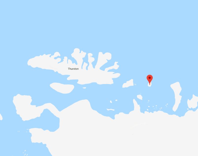
File:McNamaraMap.jpg Map showing McNamara Island in relation to Thurston Island.(805 × 635 (26 KB)) - 23:23, 5 April 2018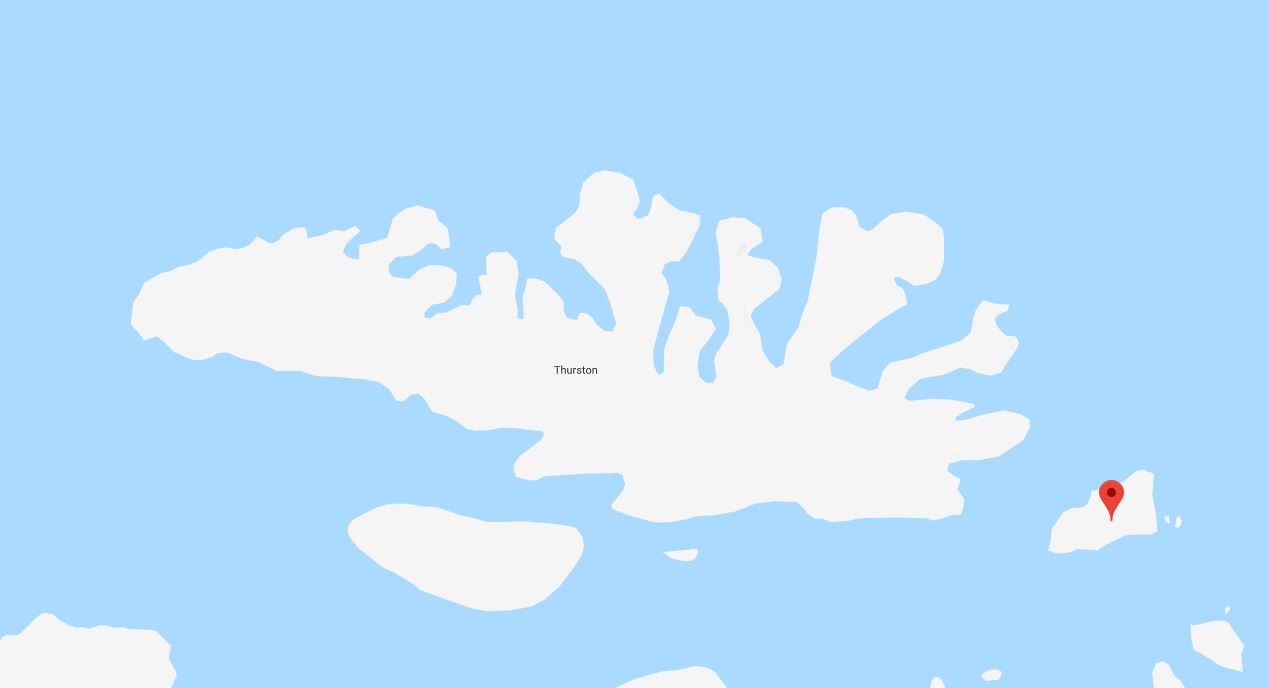
File:DustinMap.jpg Map showing Dustin Island in relation to Thurston Island.(1,269 × 688 (34 KB)) - 23:28, 5 April 2018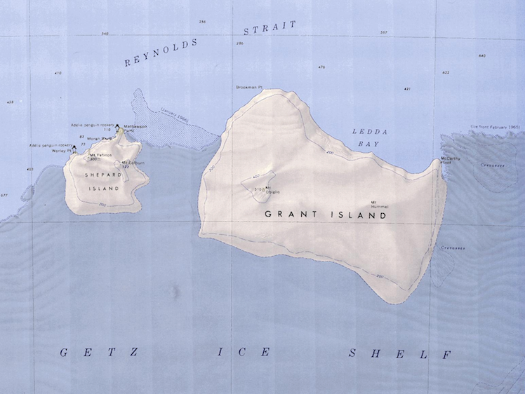
File:Grand-Shepard-Map.png Map showing Grand Island and Shepard Island together.(748 × 562 (662 KB)) - 06:47, 18 April 2018
File:Sherman Island Satellite Image.png ...llite image showing the location of Sherman Island in relation to Thurston Island.(986 × 615 (582 KB)) - 04:25, 30 March 2018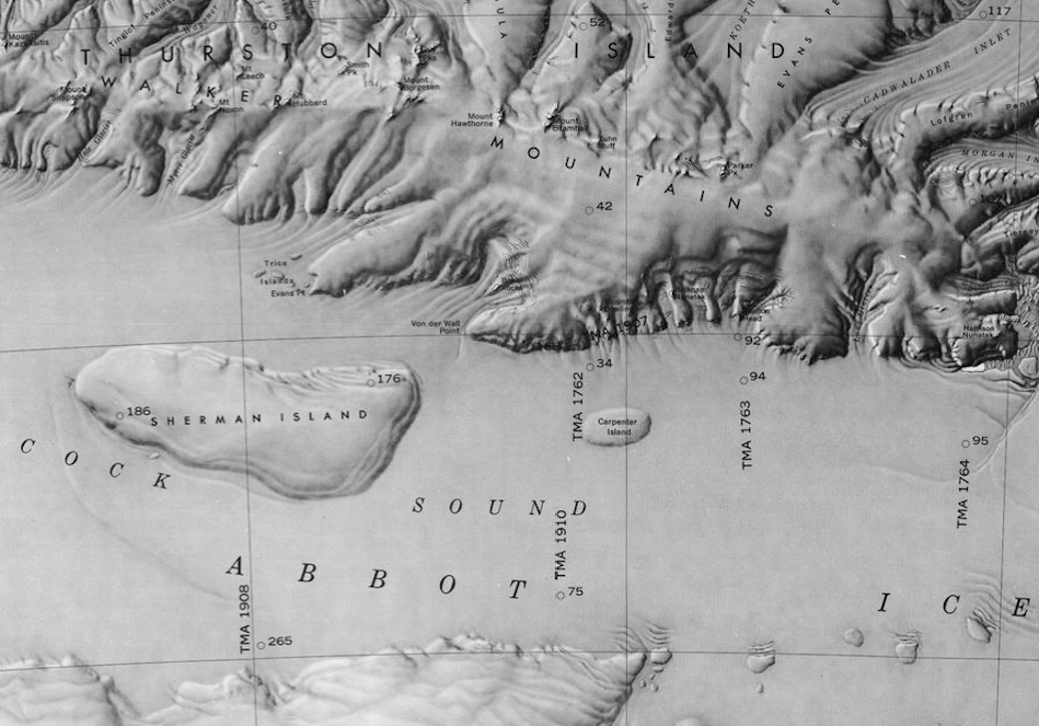
File:Peacock Sound-Islands.png Map showing Carpenter Island and Sherman Island in the Peacock Sound.(949 × 663 (781 KB)) - 16:46, 23 February 2019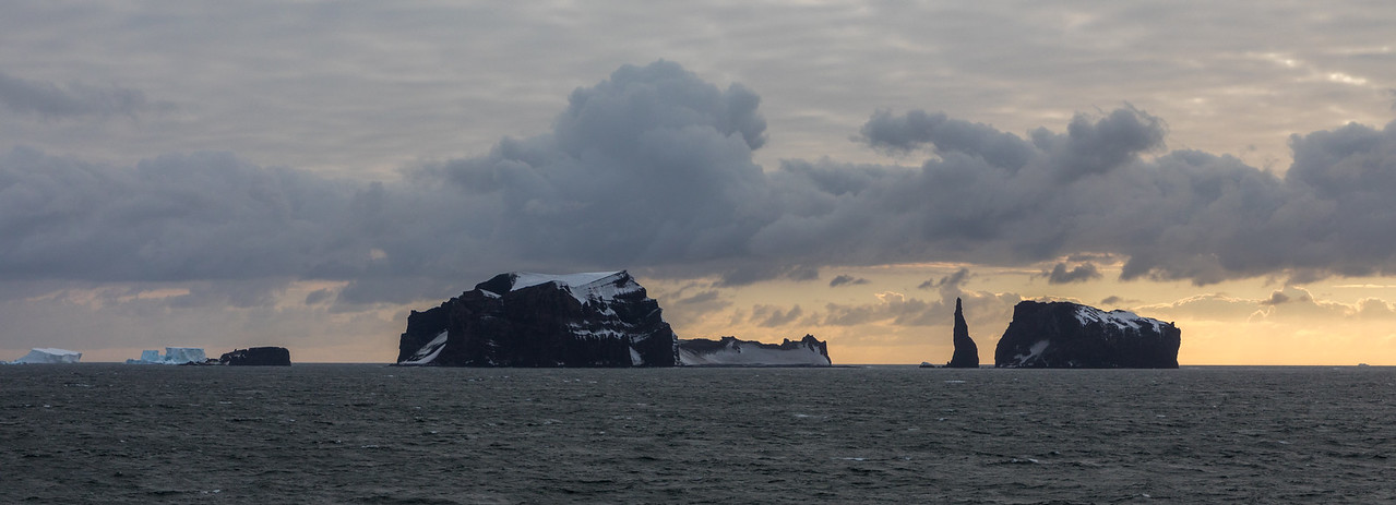
File:Chinstrap Island.jpg Panorama showing (L to R) Chinstrap Island, Sabrina Island, and The Monolith(1,279 × 463 (118 KB)) - 19:34, 1 October 2018File:Shepard Island Map.png Map of Shepard Island showing Western edge of Grant Island.(597 × 519 (515 KB)) - 06:48, 18 April 2018
File:SturgeIsland-Balleny.jpg Description: Balleny Islands: Sturge Island Location: Sturge Island(724 × 724 (143 KB)) - 19:59, 1 October 2018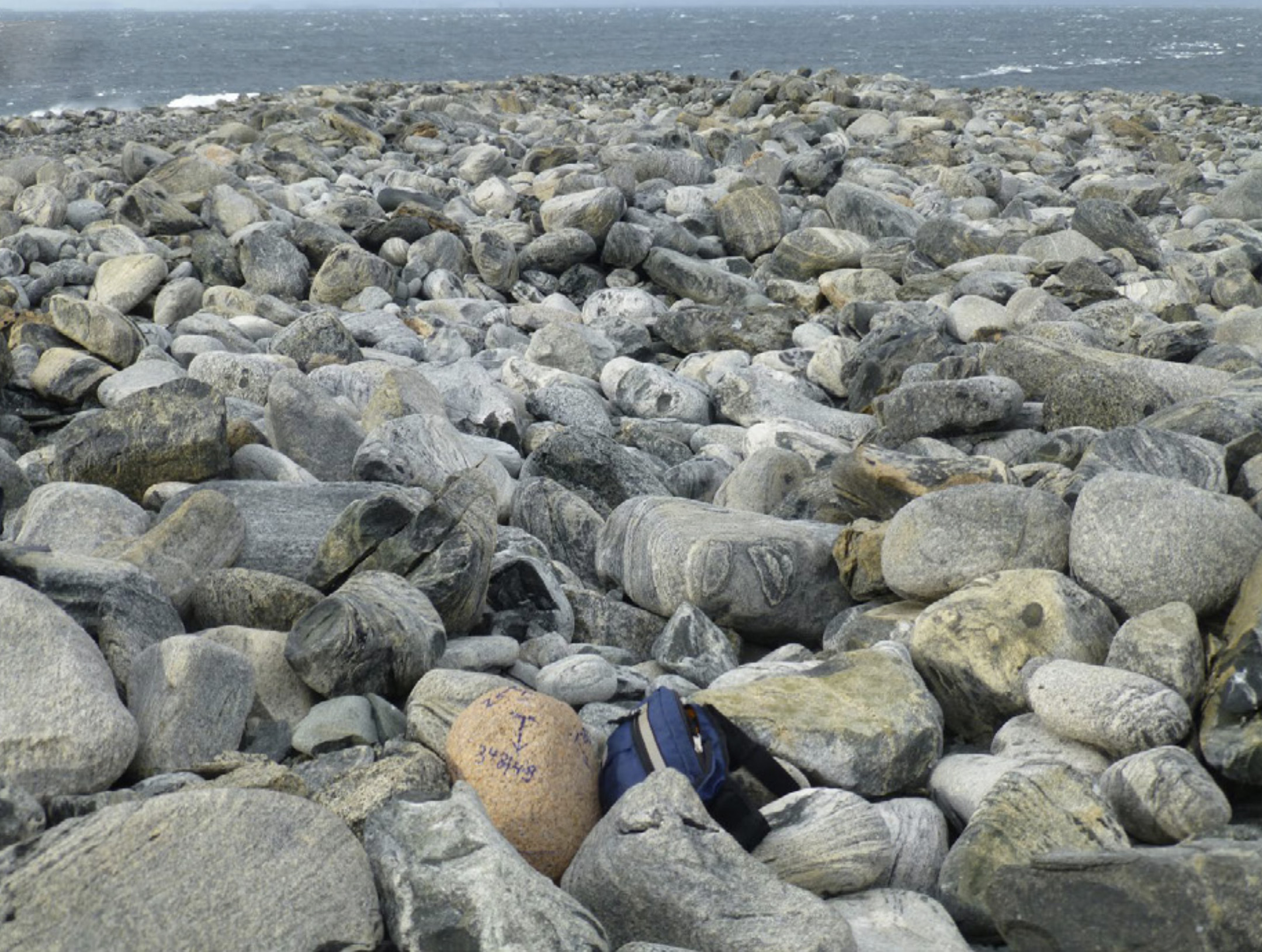
File:Dryment Island.jpg Description: Rock formations on Dryment Island. Location: Dryment Island, Antarctica(2,160 × 1,630 (870 KB)) - 22:32, 26 June 2020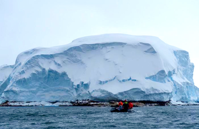
File:Sif Island.jpg Description: Photograph of Sif Island off the coast of Antarctica. Location: Pine Island Bay, Westarctica(699 × 454 (147 KB)) - 16:44, 20 August 2023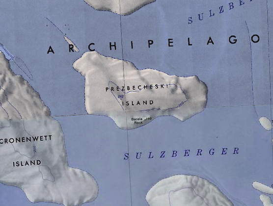
File:Prezbecheski Island.jpg ...byszewski Island. Note that the USGS chart has misspelled the name of the island.(556 × 420 (166 KB)) - 18:26, 2 December 2019File:Borradaile Island - Balleny.jpg Description: Borradaile Island, Balleny Group Location: Borradaile Island(881 × 595 (91 KB)) - 21:30, 16 March 2019File:Lindsey Island Algae.png ...crispa'' algae in bloom on Lindsey Island. This algae is prominent on the island due to the biosoils deposited by the penguin colonies there.(717 × 537 (665 KB)) - 19:43, 7 July 2018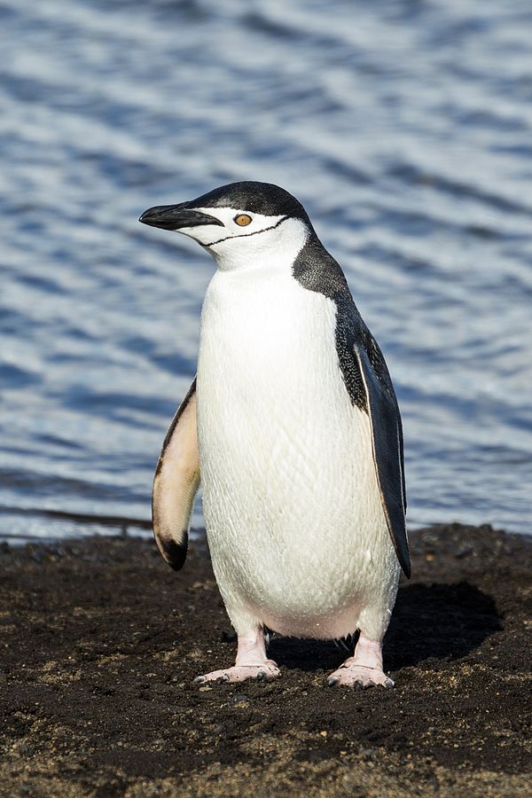
File:Chinstrap penguin-Deception.jpg Description: Chinstrap Penguin on Deception Island. Location: Deception Island, Antarctica(600 × 900 (93 KB)) - 00:25, 10 October 2021File:Chinstrap Island Picture.png Oblique aerial picture of Chinstrap Island, in the Balleny Islands. Location: Chinstrap Island, Balleny Islands(782 × 490 (501 KB)) - 21:58, 13 January 2019
File:Nicholas gooseisland.jpg In this picture, he is standing on Goose Island, a small island in Orange County, California of which he is co-viceroy.(857 × 1,142 (578 KB)) - 05:40, 16 April 2018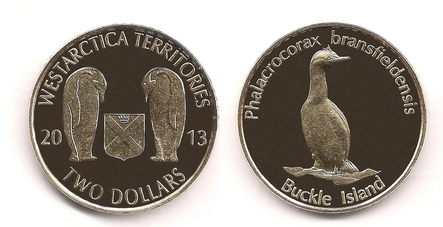
File:Buckle Island 2 dollars 2013.jpg Buckle Island coin.(900 × 461 (147 KB)) - 07:03, 26 March 2018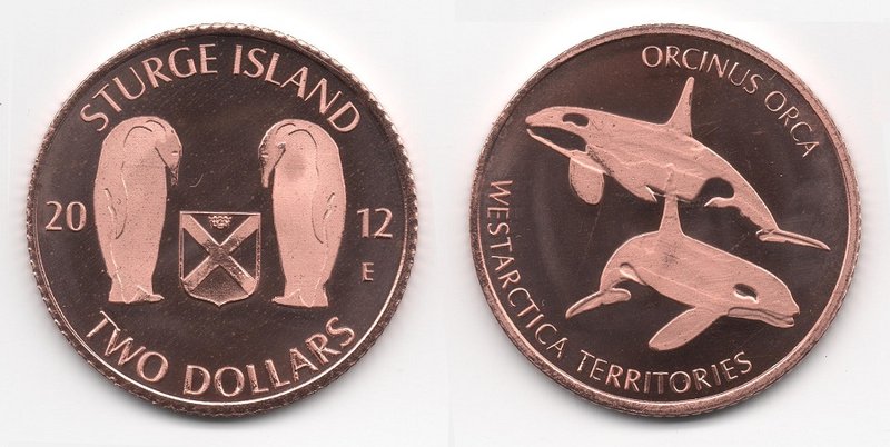
File:Sturge Island 2 dollars 2012.jpg Coin featuring Sturge Island(800 × 402 (70 KB)) - 07:19, 26 March 2018File:Farwell Island Map.png Map of Farwell Island(482 × 400 (202 KB)) - 20:07, 28 April 2018


