Difference between revisions of "Template:POTD protected"
Westarctica (talk | contribs) |
Westarctica (talk | contribs) |
||
| Line 1: | Line 1: | ||
{| role="presentation" style="margin:0 3px 3px; width:100%; text-align:left; background-color:transparent; border-collapse: collapse; " | {| role="presentation" style="margin:0 3px 3px; width:100%; text-align:left; background-color:transparent; border-collapse: collapse; " | ||
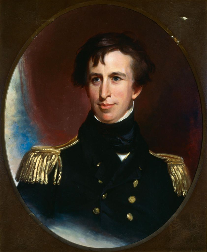
|style="padding:0 0.9em 0 0;" | [[File: | |style="padding:0 0.9em 0 0;" | [[File:Commodore Charles Wilkes.jpg|300px]] | ||
|style="padding:0 6px 0 0"| | |style="padding:0 6px 0 0"| | ||
'''[[ | '''[[Wilkes Land]]''' is a large district of land in eastern [[Antarctica]], formally claimed by Australia as part of the [[Australian Antarctic Territory]], though the validity of this claim has been placed for the period of the operation of the [[Antarctic Treaty]], to which Australia is a signatory. The region extends as a sector about 2600 km towards the [[South Pole]], with an estimated land area of 2,600,000 km², mostly glaciated. | ||
Wilkes Land is named after Lieutenant Charles Wilkes (later a Rear Admiral), the American explorer who commanded the 1838–42 United States Exploring Expedition. The naming is in recognition of Wilkes' discovery of the continental margin over a distance of 2,400 km (1,500 miles) of coast, thus providing substantial proof that [[Antarctica]] is a continent. This definition of extent excludes the area east of 142°02' E, George V Land, which was sighted by Wilkes but has been shown by later expeditions to be further south than the positions originally assigned by him. | |||
<p><small> | <p><small>Author: Thomas Sully</small></p> | ||
[[:Category:Images|'''(More Featured Images)''']] | [[:Category:Images|'''(More Featured Images)''']] | ||
<div class="potd-recent" style="text-align:right;"> | <div class="potd-recent" style="text-align:right;"> | ||
Revision as of 16:00, 3 August 2019

|
Wilkes Land is a large district of land in eastern Antarctica, formally claimed by Australia as part of the Australian Antarctic Territory, though the validity of this claim has been placed for the period of the operation of the Antarctic Treaty, to which Australia is a signatory. The region extends as a sector about 2600 km towards the South Pole, with an estimated land area of 2,600,000 km², mostly glaciated. Wilkes Land is named after Lieutenant Charles Wilkes (later a Rear Admiral), the American explorer who commanded the 1838–42 United States Exploring Expedition. The naming is in recognition of Wilkes' discovery of the continental margin over a distance of 2,400 km (1,500 miles) of coast, thus providing substantial proof that Antarctica is a continent. This definition of extent excludes the area east of 142°02' E, George V Land, which was sighted by Wilkes but has been shown by later expeditions to be further south than the positions originally assigned by him. Author: Thomas Sully |