Difference between revisions of "Template:POTD protected"
Jump to navigation
Jump to search
Westarctica (talk | contribs) |
Westarctica (talk | contribs) |
||
| (11 intermediate revisions by the same user not shown) | |||
| Line 1: | Line 1: | ||
{| role="presentation" style="margin:0 3px 3px; width:100%; text-align:left; background-color:transparent; border-collapse: collapse; " | {| role="presentation" style="margin:0 3px 3px; width:100%; text-align:left; background-color:transparent; border-collapse: collapse; " | ||
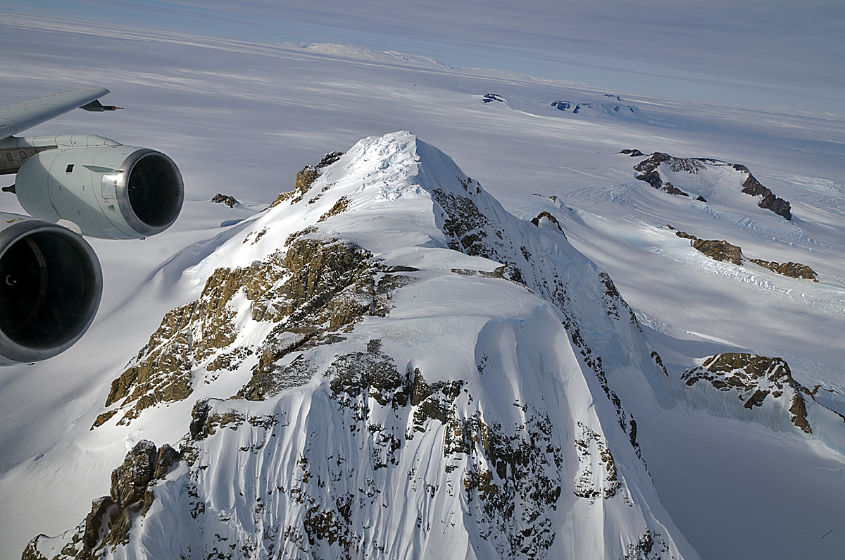
|style="padding:0 0.9em 0 0;" | [[File: | |style="padding:0 0.9em 0 0;" | [[File:Hobbs Coast Mountains-NANA.jpg|thumb|300px]] | ||
|style="padding:0 6px 0 0"| | |style="padding:0 6px 0 0"| | ||
The '''[[ | The '''[[Hobbs Coast]]''' is the portion of the coast of [[Westarctica]] extending from [[Cape Burks]] to a point on the coast opposite eastern [[Dean Island]], at 74°42′S 127°05′W, or between the [[Ruppert Coast]] in the west and the [[Bakutis Coast]] in the east. It stretches from 136°50′W to 127°35′. | ||
The coast was discovered by the US [[Antarctica|Antarctic]] Service (1939–41) mapped by the United States Geological Survey from ground surveys and U.S. Navy air photos, 1959–65. The Hobbs Coast was named for Professor William H. Hobbs of the University of Michigan, a glaciologist specializing in polar geography and history. | |||
<p><small>Photographer: Michael Studinger</small></p> | |||
<p><small>Photographer: | |||
[[:Category:Images|'''(More Featured Images)''']] | [[:Category:Images|'''(More Featured Images)''']] | ||
<div class="potd-recent" style="text-align:right;"> | <div class="potd-recent" style="text-align:right;"> | ||
Revision as of 21:34, 23 May 2020
|
The Hobbs Coast is the portion of the coast of Westarctica extending from Cape Burks to a point on the coast opposite eastern Dean Island, at 74°42′S 127°05′W, or between the Ruppert Coast in the west and the Bakutis Coast in the east. It stretches from 136°50′W to 127°35′. The coast was discovered by the US Antarctic Service (1939–41) mapped by the United States Geological Survey from ground surveys and U.S. Navy air photos, 1959–65. The Hobbs Coast was named for Professor William H. Hobbs of the University of Michigan, a glaciologist specializing in polar geography and history. Photographer: Michael Studinger |
