Template:POTD protected

|
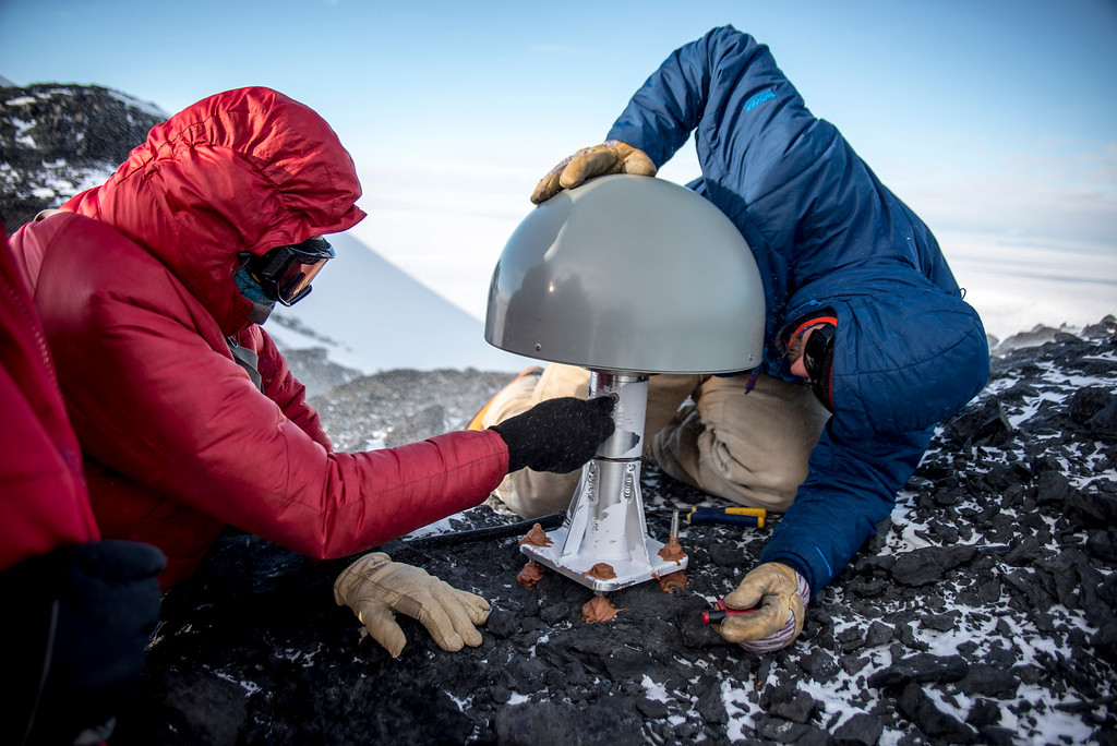
Toney Mountain is an elongated snow-covered shield volcano, 60 km (38 mi) long and rising to 3,595 meters at Richmond Peak, located 56 km (35 mi) southwest of Kohler Range in Westarctica. Toney Mountain lies in a tectonically and volcanically active region of Antarctica. There, a layer of basaltic rocks up to 5 kilometers (3.1 mi) thick underlie a series of felsic volcanic edifices. These basaltic rocks in turn are emplaced above a Paleozoic basement with granite intrusions of Devonian-Cretaceous, which crops out in some mountain ranges. Beneath Toney Mountain, the basaltic floor rises from an elevation of 3 kilometers (1.9 mi) beneath sea level, and the volcano is situated on the floor of a graben. The region is further characterized by a 500 by 1,200 kilometers (310 mi × 750 mi) large dome-like uplift, part of the West Antarctic Rift, and it may reflect the presence of a stationary hotspot.
Photo by: Nicolas Bayou, UNAVCO |