Difference between revisions of "Template:Westarctica.wiki:Today's featured article"
Westarctica (talk | contribs) |
Westarctica (talk | contribs) |
||
| Line 1: | Line 1: | ||
[[File: | [[File:Buckle-Island-Westside-Balleny Islands.jpg|thumb|300px|left]] | ||
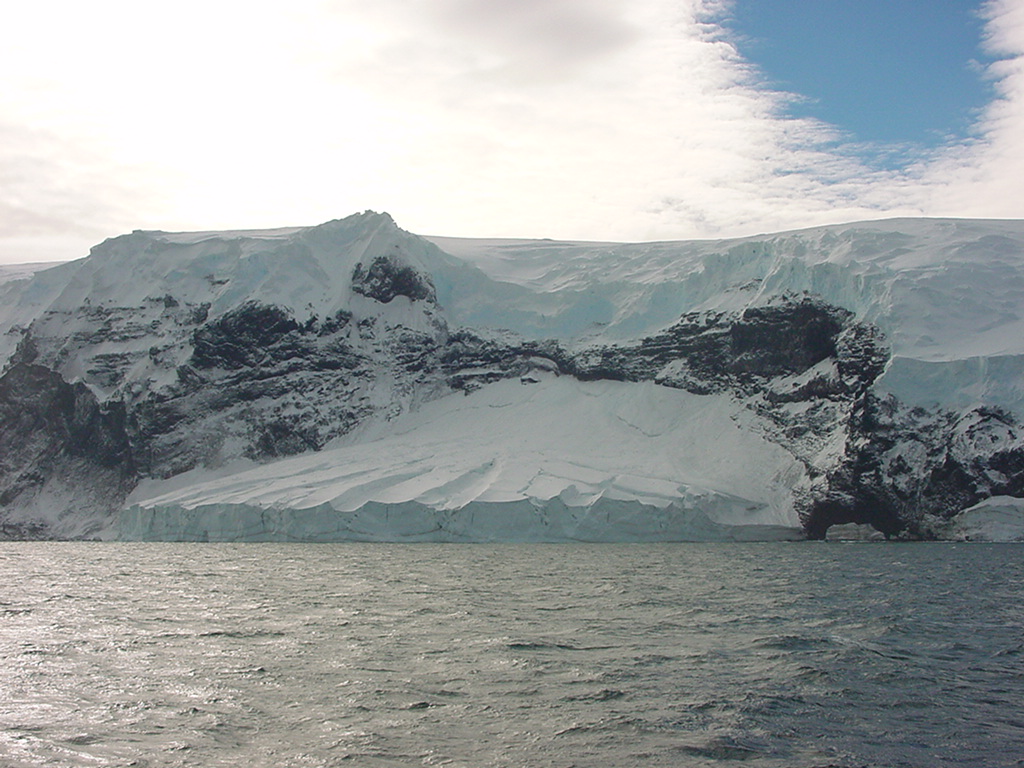
'''Buckle Island''' is one of the three main islands in the uninhabited [[Balleny Islands]] group located in eastern section of the [[Southern Ocean]]. It lies 25 km (16 mi) north-west of [[Sturge Island]] and 8 km (5 mi) south-east of [[Young Island]], some 110 km (68 mi) north-north-east of Belousov Point on the [[Antarctic]] mainland. | |||
The | The island is roughly triangular in shape, with long east and west coasts and a short north coast. It is about 6 km (3 mi) wide in the north, with a maximum length of 24 km (15 mi). It is of volcanic origin, and is still volcanically active, the last eruption being in 1899. The northernmost point is Cape Cornish. Several small islets also lie in the channel separating Cape Cornish and Young Island, the largest of which is [[Borradaile Island]]. Several small islets lie off the island's southern extremity, Cape McNab, including [[Sabrina Island]], [[Chinstrap Island]], and the 80-meter (262 ft) tall stack of [[The Monolith]]. | ||
Both Buckle Island and Sabrina Island are home to colonies of [[Adélie penguin|Adelie]] and [[chinstrap penguin|chinstrap penguins]]. | |||
'''([[Buckle Island|Full Article...]])''' | |||
Revision as of 02:33, 13 August 2018
Buckle Island is one of the three main islands in the uninhabited Balleny Islands group located in eastern section of the Southern Ocean. It lies 25 km (16 mi) north-west of Sturge Island and 8 km (5 mi) south-east of Young Island, some 110 km (68 mi) north-north-east of Belousov Point on the Antarctic mainland.
The island is roughly triangular in shape, with long east and west coasts and a short north coast. It is about 6 km (3 mi) wide in the north, with a maximum length of 24 km (15 mi). It is of volcanic origin, and is still volcanically active, the last eruption being in 1899. The northernmost point is Cape Cornish. Several small islets also lie in the channel separating Cape Cornish and Young Island, the largest of which is Borradaile Island. Several small islets lie off the island's southern extremity, Cape McNab, including Sabrina Island, Chinstrap Island, and the 80-meter (262 ft) tall stack of The Monolith.
Both Buckle Island and Sabrina Island are home to colonies of Adelie and chinstrap penguins.
