Template:Westarctica.wiki:Today's featured article
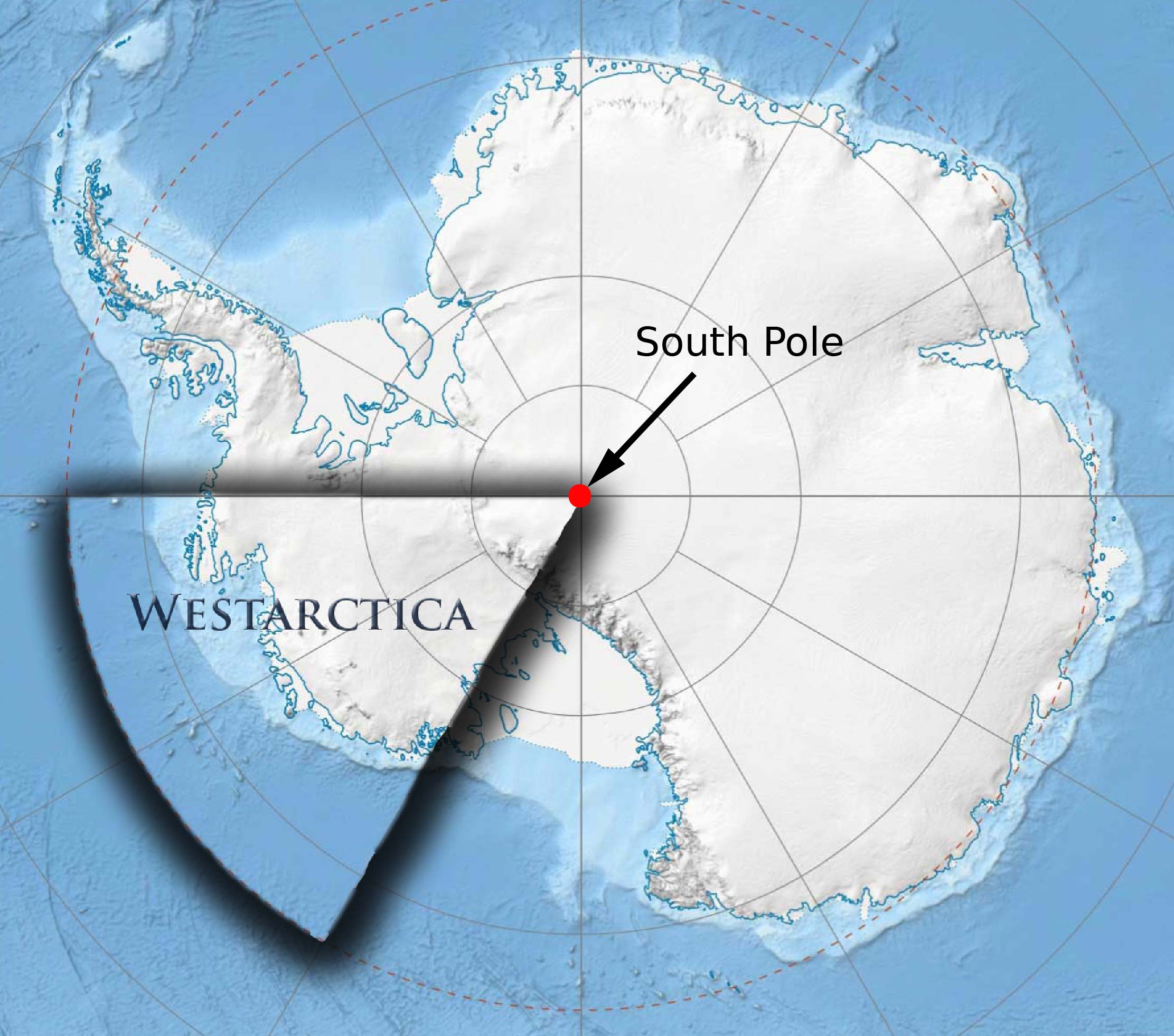
The South Pole is one of the two points where the Earth's axis of rotation intersects its surface. It is the southernmost point on the surface of the Earth and lies in Antarctica on the opposite side of the Earth from the North Pole. The South Pole is both the southernmost and easternmost point of Westarctica.
The geographic coordinates of the South Pole are usually given simply as 90°S, since its longitude is geometrically undefined and irrelevant. When a longitude is desired, it may be given as 0°. At the South Pole, all directions face north. For this reason, directions at the Pole are given relative to "grid north", which points northwards along the prime meridian. Along tight latitude circles, clockwise is east, and counterclockwise is west, opposite to the North Pole.
The Geographic South Pole is located on the continent of Antarctica (although this has not been the case for all of Earth's history because of continental drift). It sits atop a featureless, barren, windswept and icy plateau at an altitude of 2,835 meters (9,301 ft) above sea level, and is located about 1,300 km (800 mi) from the nearest open sea at Bay of Whales. The ice is estimated to be about 2,700 meters (9,000 ft) thick at the Pole, so the land surface under the ice sheet is actually near sea level. (Full Article...)
