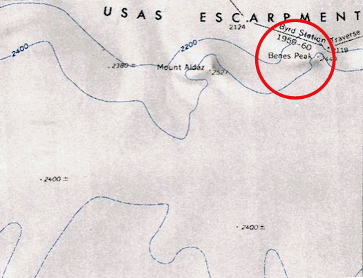
Benes Peak
Revision as of 07:27, 25 January 2019 by Westarctica (talk | contribs) (Created page with "300px|thumb|Map showing location of Benes Peak '''Benes Peak''' (76°2′S 124°7′W) is a 2,450 meter (8,040 ft) high peak, that is almost entirely [...")
Benes Peak (76°2′S 124°7′W) is a 2,450 meter (8,040 ft) high peak, that is almost entirely snow-covered, situated along the Usas Escarpment, 4 nautical miles (7 km) east of Mount Aldaz in Westarctica.
Discovery and name
It was surveyed by United States Geological Survey on the Executive Committee Range Traverse of 1959, and named by the Advisory Committee on Antarctic Names for Norman S. Benes, a United States Antarctic Research Program meteorologist at Byrd Station in 1961.
