Difference between revisions of "Dean Island"
Jump to navigation
Jump to search
Westarctica (talk | contribs) (added link to Birdwell Point) |
Westarctica (talk | contribs) |
||
| Line 2: | Line 2: | ||
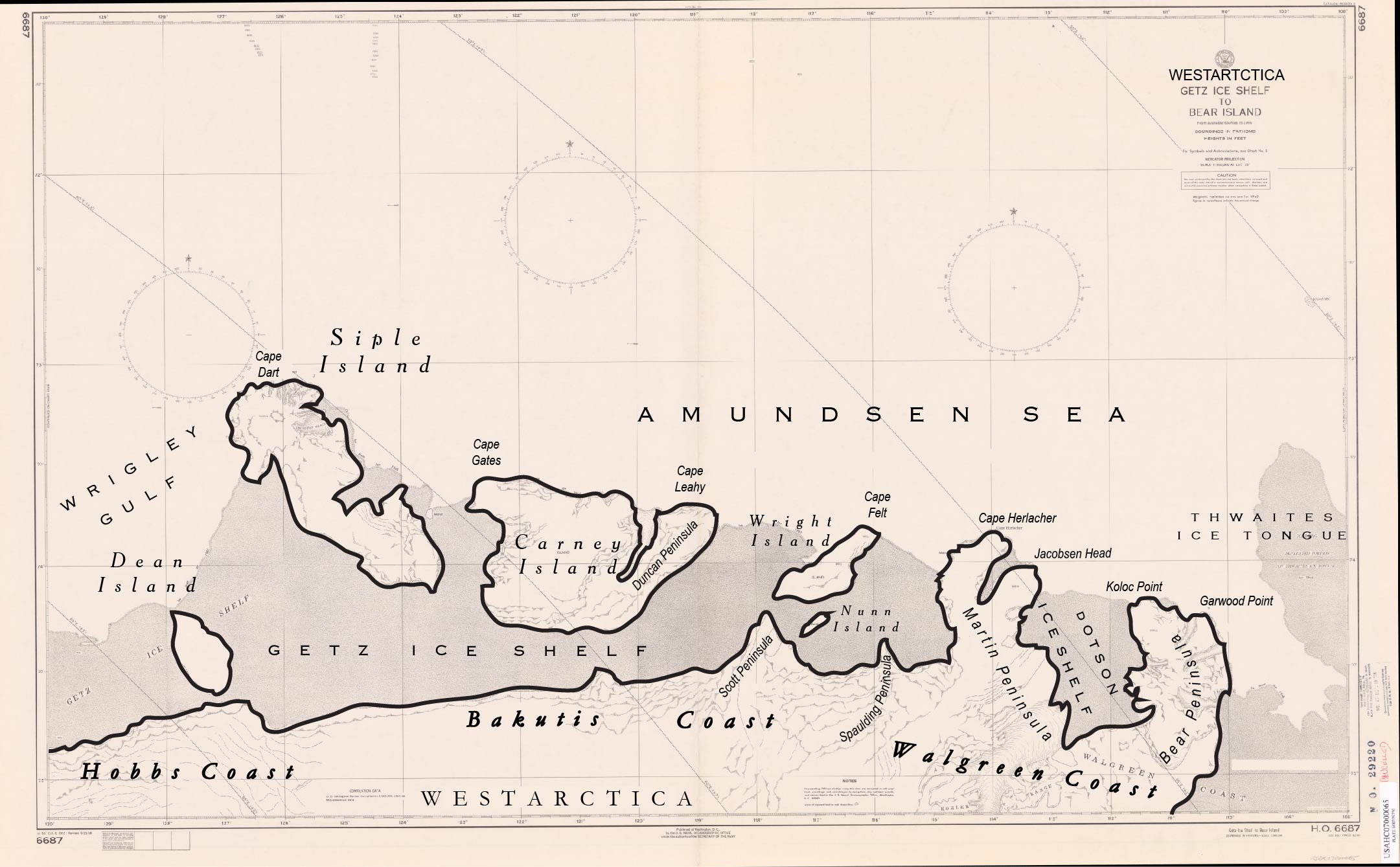
'''Dean Island''' is an ice-covered island, 37 kilometers (20 nmi) long and 19 kilometers (10 nmi) wide, lying within the [[Getz Ice Shelf]] and midway between [[Grant Island]] and [[Siple Island]], off the coast of [[Westarctica]]. | '''Dean Island''' is an ice-covered island, 37 kilometers (20 nmi) long and 19 kilometers (10 nmi) wide, lying within the [[Getz Ice Shelf]] and midway between [[Grant Island]] and [[Siple Island]], off the coast of [[Westarctica]]. | ||
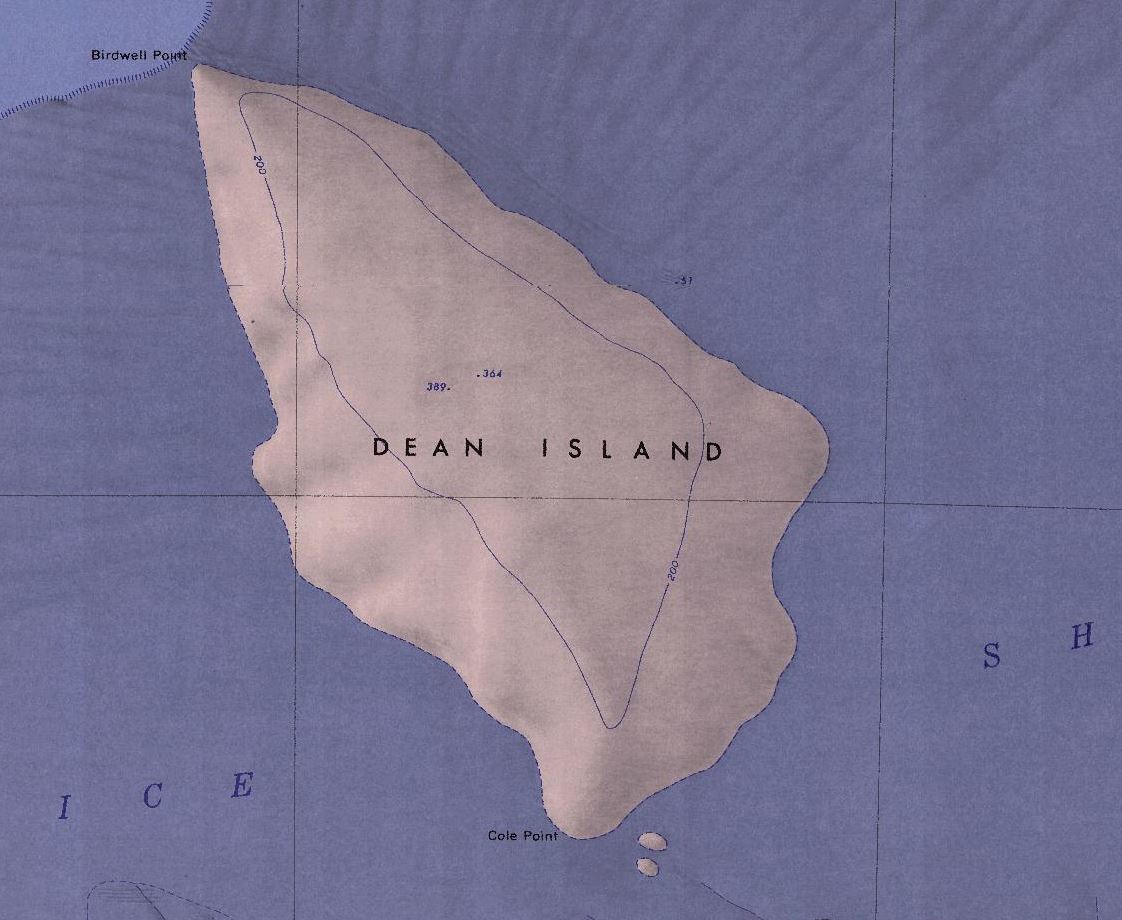
[[Birdwell Point]] is on the northernmost tip of the island and the southernmost tip is named [[Cole Point]] and is approximately five kilometers away from the mainland. | ==Geographic features== | ||
[[Birdwell Point]] is on the northernmost tip of the island and the southernmost tip is named [[Cole Point]] and is approximately five kilometers away from the mainland. The highest elevation point in the center of the island has not yet been named. | |||
==Discovery and name== | ==Discovery and name== | ||
Latest revision as of 18:23, 24 January 2023
Dean Island is an ice-covered island, 37 kilometers (20 nmi) long and 19 kilometers (10 nmi) wide, lying within the Getz Ice Shelf and midway between Grant Island and Siple Island, off the coast of Westarctica.
Geographic features
Birdwell Point is on the northernmost tip of the island and the southernmost tip is named Cole Point and is approximately five kilometers away from the mainland. The highest elevation point in the center of the island has not yet been named.
Discovery and name
It was first sighted from a distance of 37 kilometers (20 nmi) from the USS Glacier on 5 February 1962, and was named for Chief Warrant Officer S.L. Dean, U.S. Navy, Electrical Officer on the Glacier at the time of discovery.

