File:Koloc-Point.png
Revision as of 16:35, 4 February 2019 by Westarctica (talk | contribs)
No higher resolution available.
Koloc-Point.png (720 × 595 pixels, file size: 713 KB, MIME type: image/png)
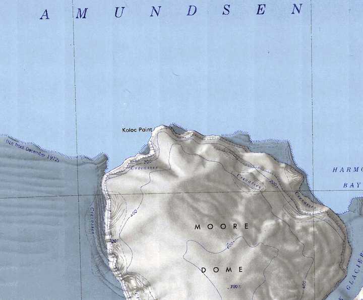
Map of the Bear Peninsula showing Koloc Point and Moore Dome.
File history
Click on a date/time to view the file as it appeared at that time.
| Date/Time | Thumbnail | Dimensions | User | Comment | |
|---|---|---|---|---|---|
| current | 16:35, 4 February 2019 | | 720 × 595 (713 KB) | Westarctica (talk | contribs) |
You cannot overwrite this file.
File usage
The following 2 pages use this file: