File:Steventon-Island-Map.png
Revision as of 19:24, 8 November 2019 by Westarctica (talk | contribs)
Size of this preview: 800 × 527 pixels. Other resolution: 914 × 602 pixels.
Original file (914 × 602 pixels, file size: 773 KB, MIME type: image/png)
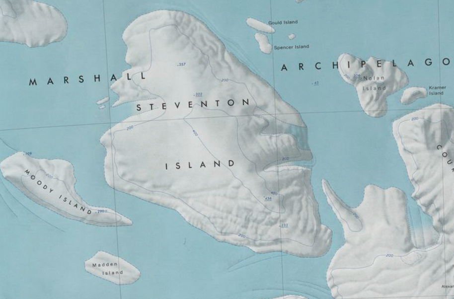
Map showing Steventon Island and surrounding islands in the Marshall Archipelago.
File history
Click on a date/time to view the file as it appeared at that time.
| Date/Time | Thumbnail | Dimensions | User | Comment | |
|---|---|---|---|---|---|
| current | 19:24, 8 November 2019 | | 914 × 602 (773 KB) | Westarctica (talk | contribs) |
You cannot overwrite this file.
File usage
The following page uses this file: