Difference between revisions of "Pope Glacier"
Jump to navigation
Jump to search
Westarctica (talk | contribs) |
Westarctica (talk | contribs) |
||
| Line 3: | Line 3: | ||
==Discovery and name== | ==Discovery and name== | ||
The Pope Glacier was mapped by United States Geological Survey (USGS) from surveys and U.S. Navy air photos, 1959-66. It was named by Advisory Committee on Antarctic Names after Maj. Donald R. Pope, civil engineer on the staff of the Commander, Naval Support Force, Antarctica, 1965-67. | The Pope Glacier was mapped by United States Geological Survey (USGS) from surveys and U.S. Navy air photos, 1959-66. It was named by Advisory Committee on Antarctic Names after Maj. Donald R. Pope, civil engineer on the staff of the Commander, Naval Support Force, [[Antarctica]], 1965-67. | ||
[[Category:Glaciers]] | [[Category:Glaciers]] | ||
[[Category:Geography of Westarctica]] | [[Category:Geography of Westarctica]] | ||
Latest revision as of 23:46, 4 April 2018
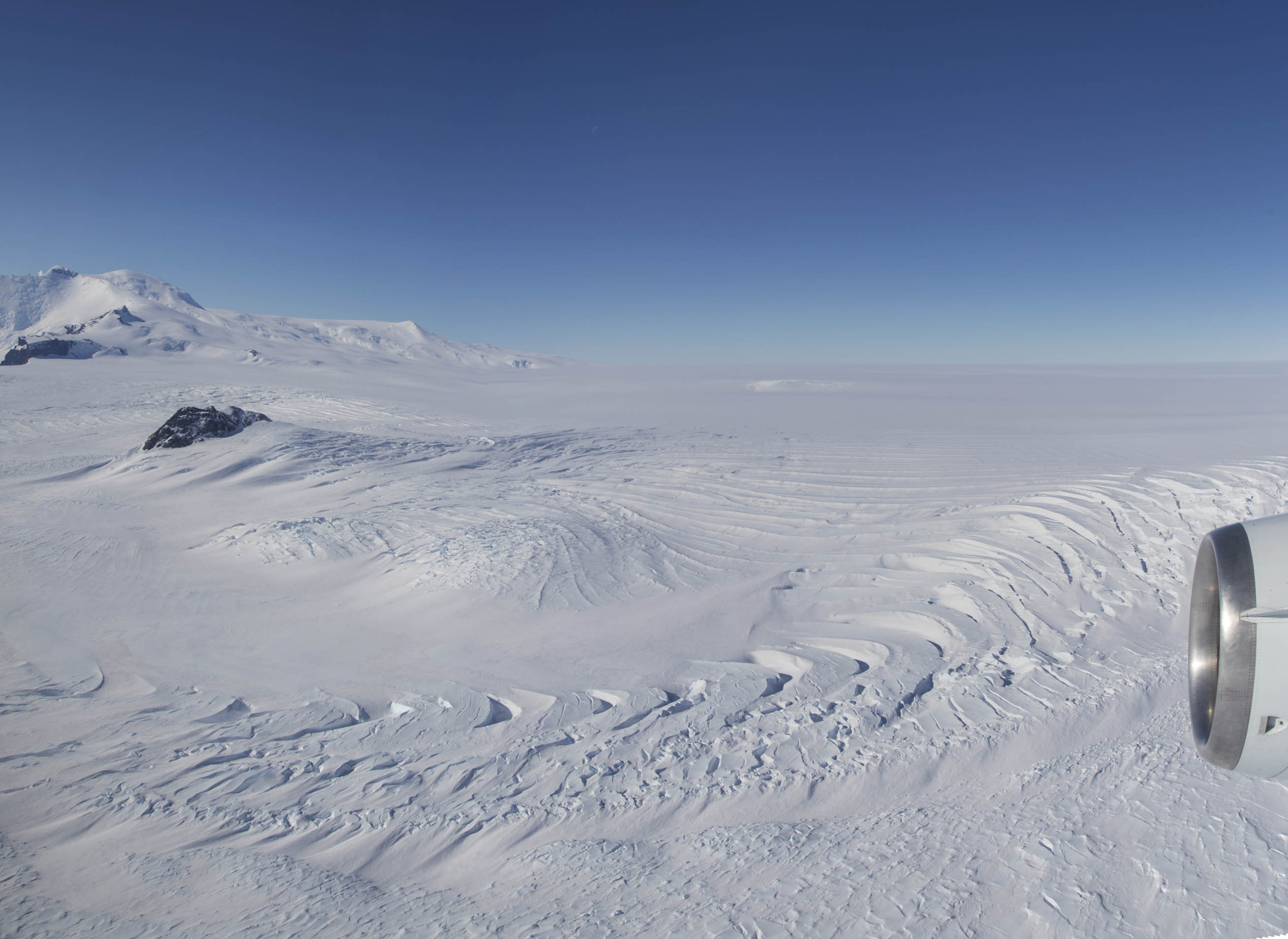
Pope Glacier (75°19′S 111°22′W) is a glacier about 20 nautical miles (37 km) long, flowing north along the west side of Mount Murphy to the Crosson Ice Shelf on the Walgreen Coast, in Westarctica.
Discovery and name
The Pope Glacier was mapped by United States Geological Survey (USGS) from surveys and U.S. Navy air photos, 1959-66. It was named by Advisory Committee on Antarctic Names after Maj. Donald R. Pope, civil engineer on the staff of the Commander, Naval Support Force, Antarctica, 1965-67.
