Category:Maps
The printable version is no longer supported and may have rendering errors. Please update your browser bookmarks and please use the default browser print function instead.
Media in category "Maps"
The following 200 files are in this category, out of 218 total.
(previous page) (next page)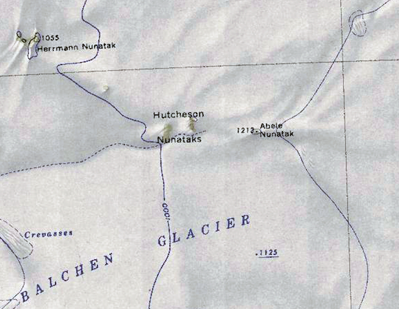 Abele-Nunatak.png 572 × 443; 466 KB
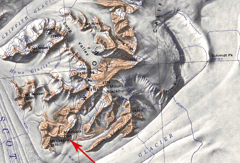 Acarospora Peak.jpg 776 × 528; 254 KB
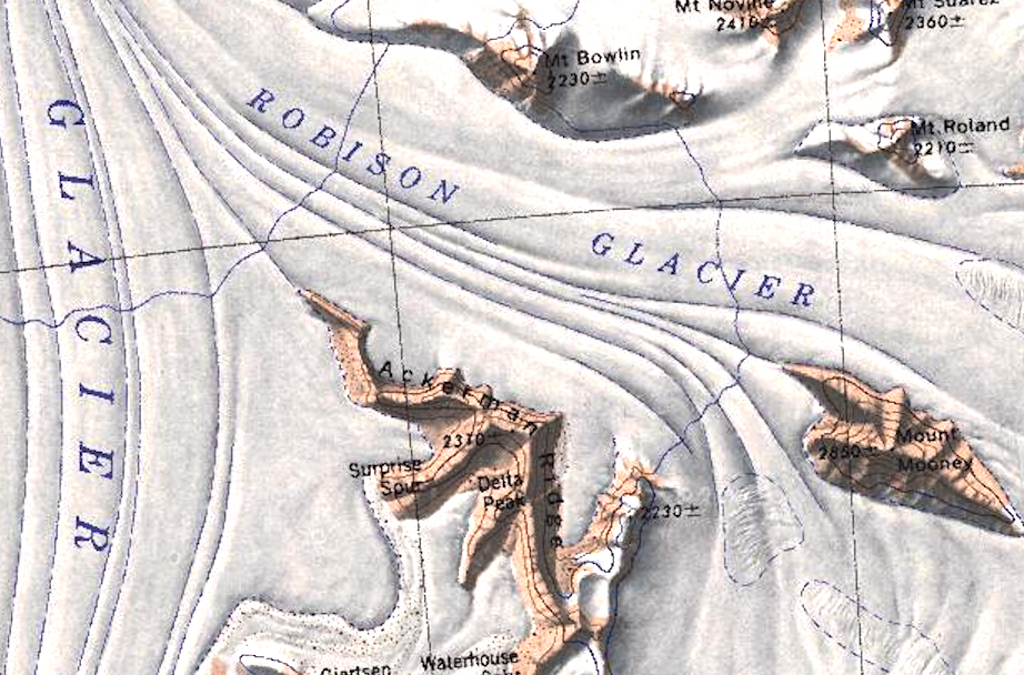 Ackerman Ridge.jpg 922 × 608; 485 KB
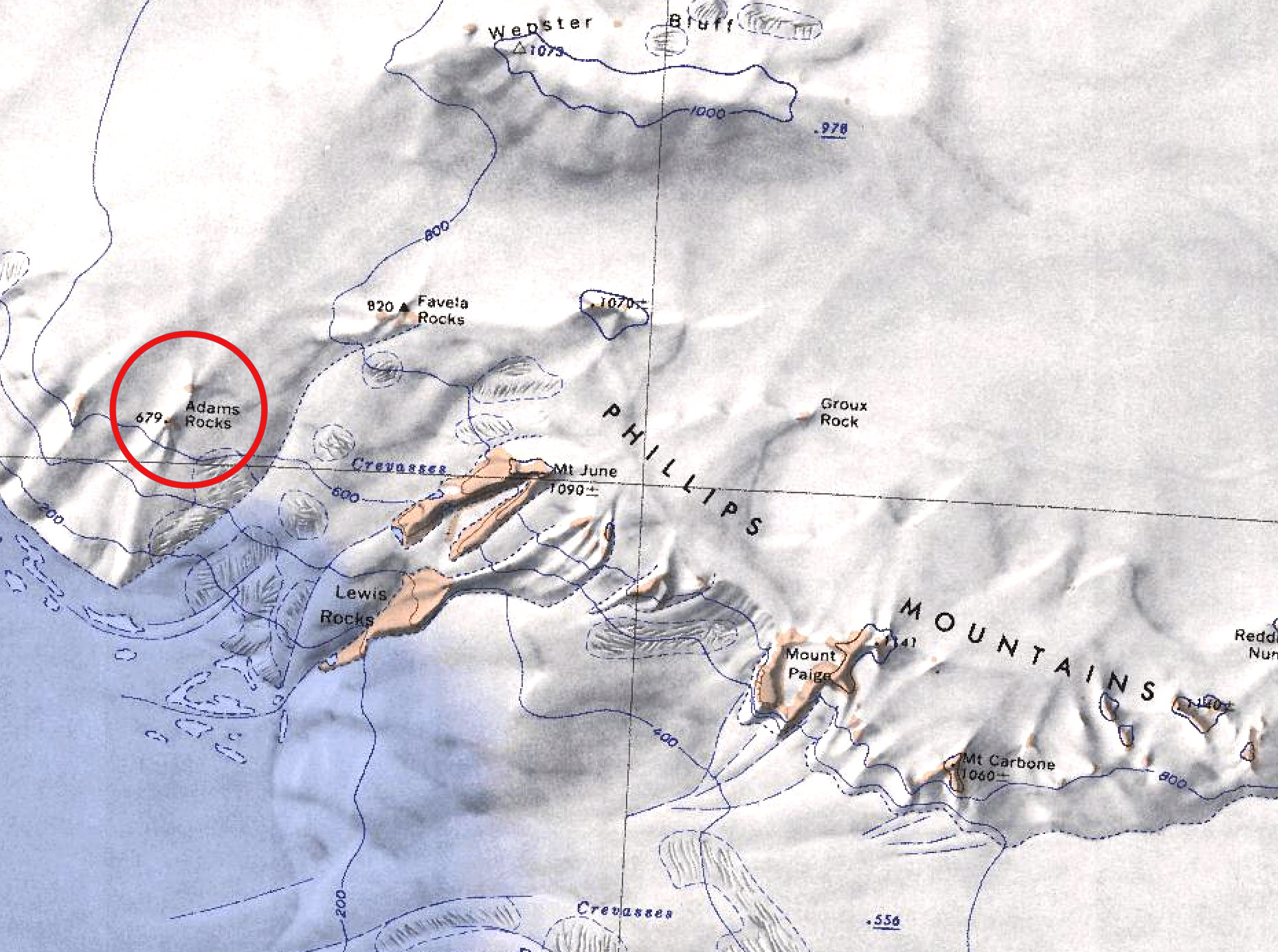 Adams Rocks.jpg 1,860 × 1,386; 557 KB
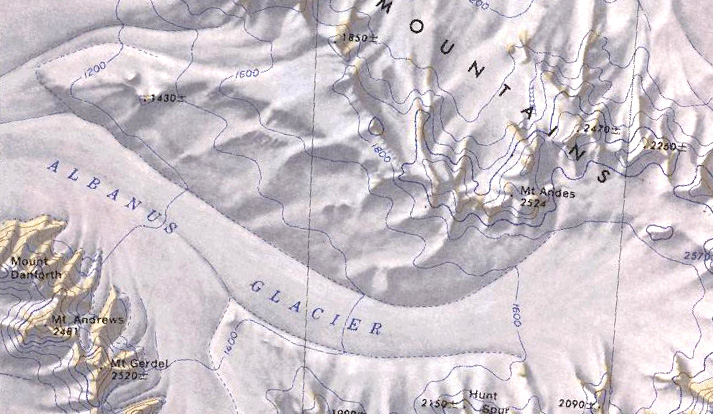 Albanus Glacier.jpg 713 × 414; 161 KB
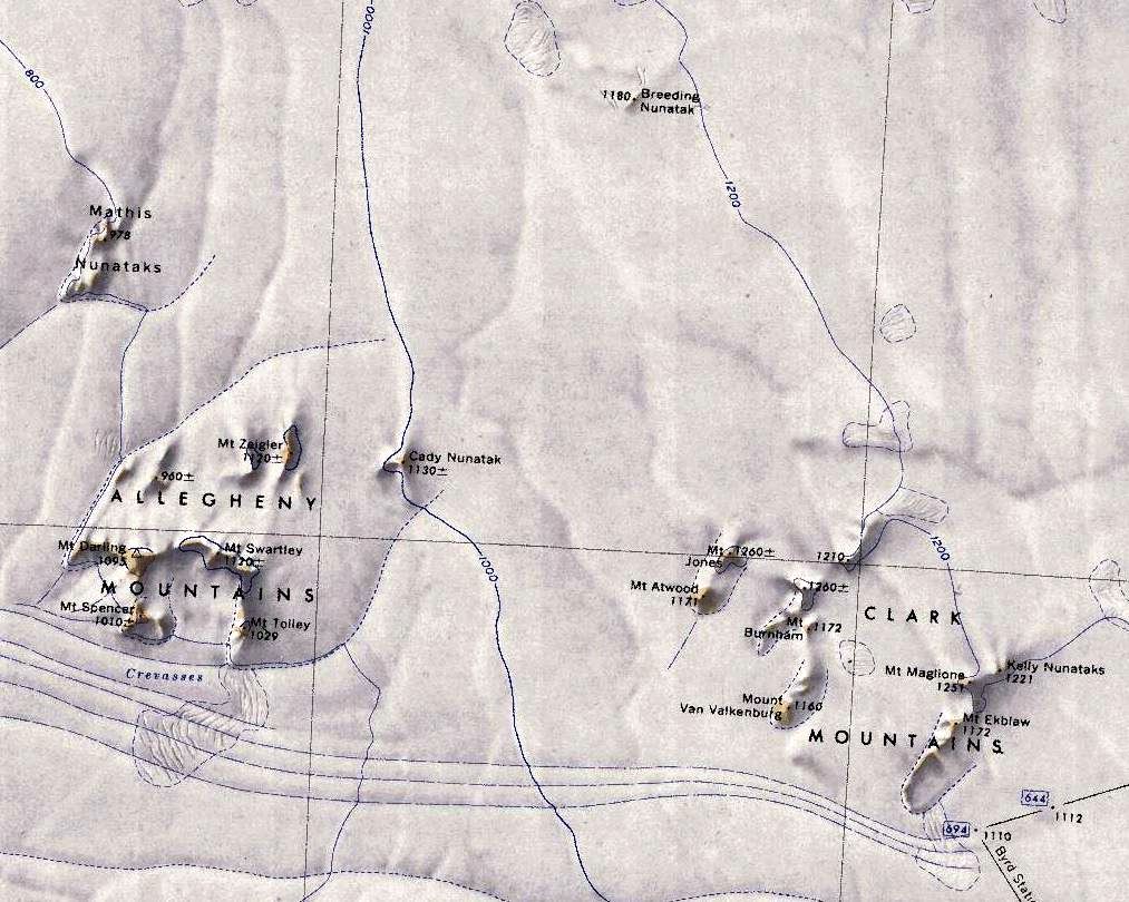 Allegheny-Clark-Mts.jpg 1,013 × 810; 179 KB
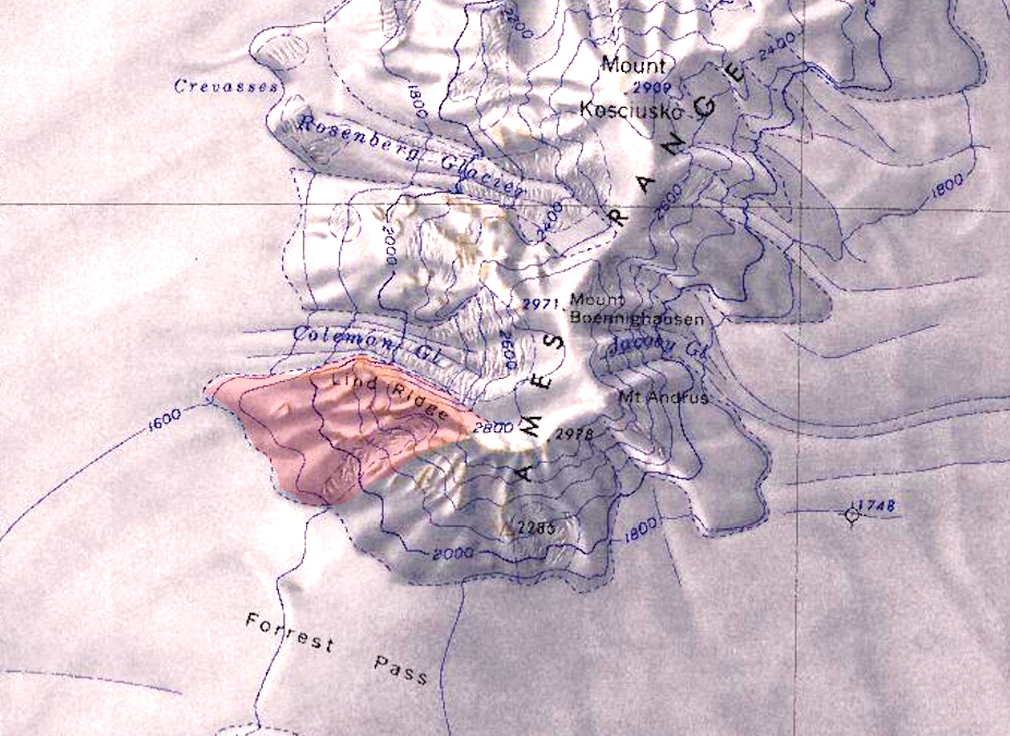
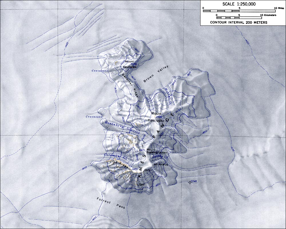 AmesRangeMap.jpg 1,000 × 800; 165 KB
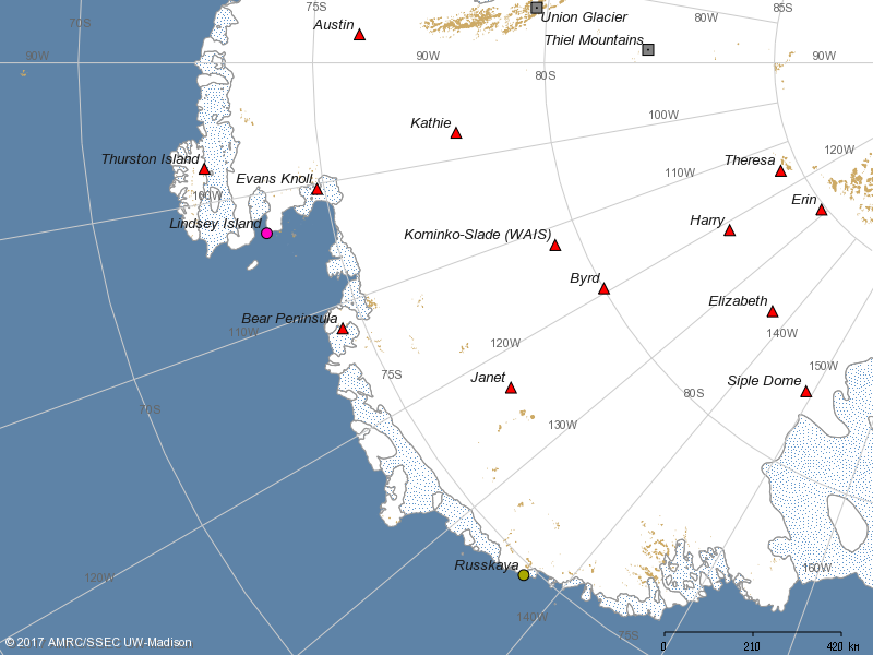
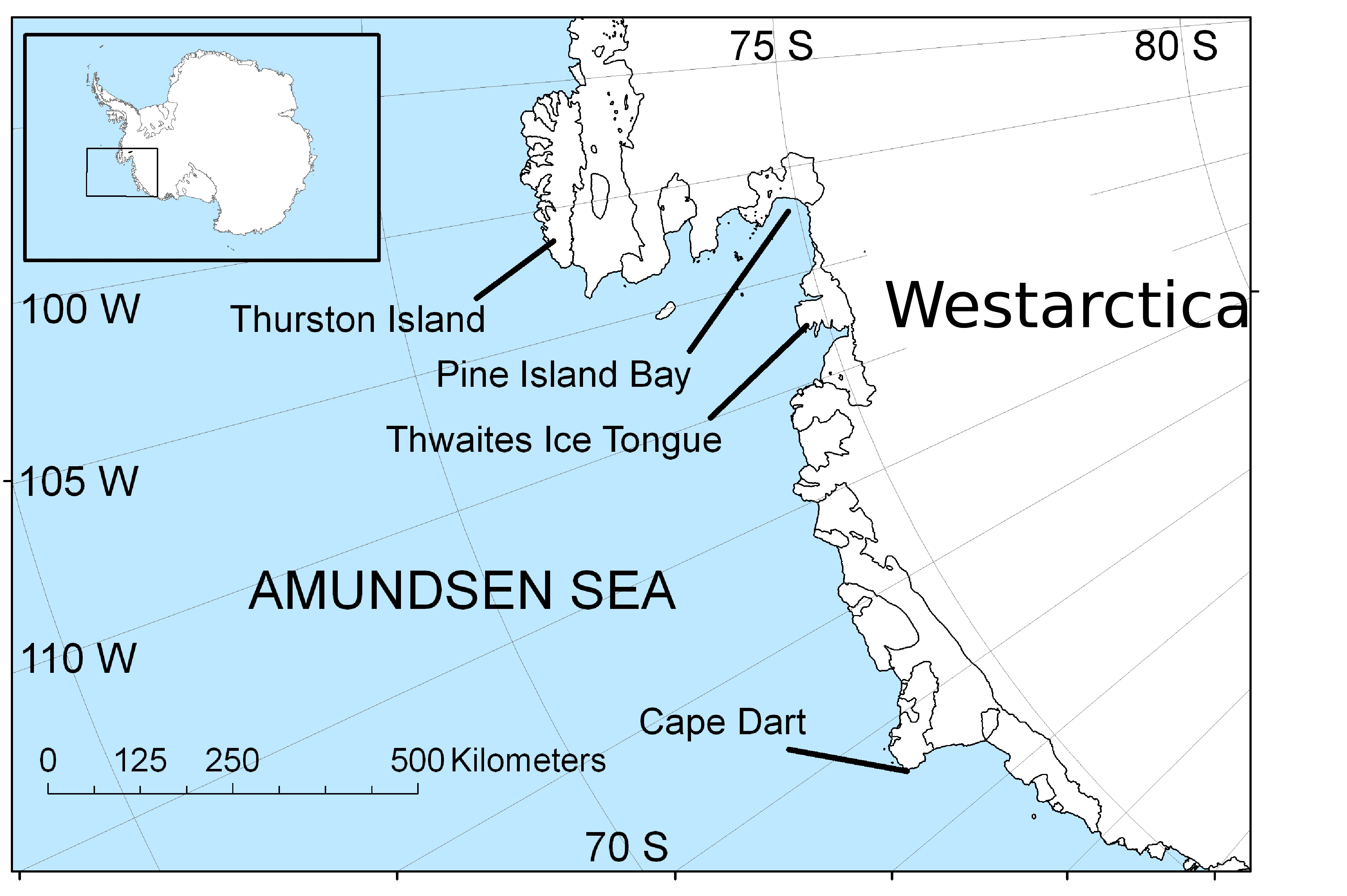 AmundsenSea-map.jpg 3,729 × 2,481; 1.4 MB
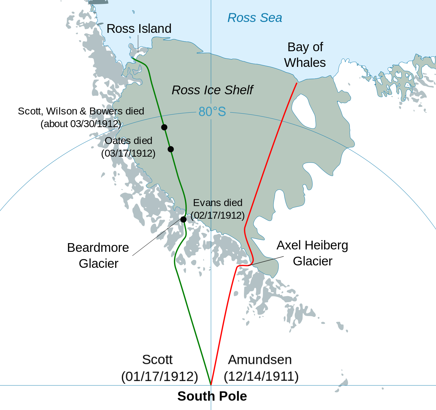 Antarctic expedition map.png 1,446 × 1,361; 361 KB
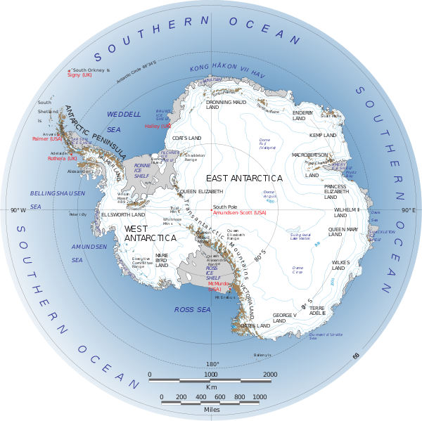 Antarctica.svg.png 600 × 599; 272 KB
 Armour-Peninsula.jpg 849 × 695; 198 KB
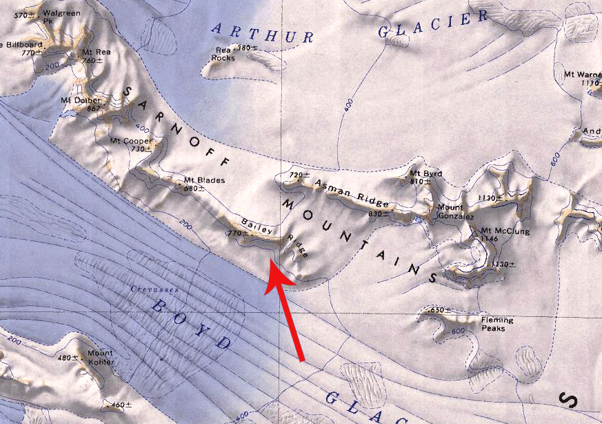 Bailey Ridge.jpg 873 × 614; 289 KB
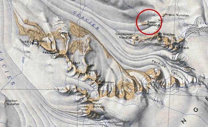 Baker-Barony.jpg 672 × 413; 288 KB
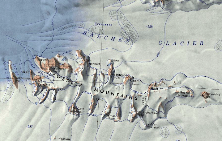
 Balchen-Glacier.jpg 540 × 475; 349 KB
 Bandy Island.jpg 509 × 388; 209 KB
 Barony Brownson.jpg 942 × 668; 231 KB
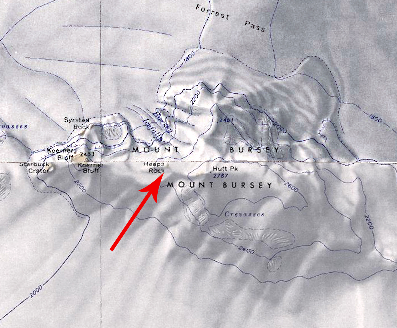 Barony of Heaps.jpg 796 × 658; 409 KB
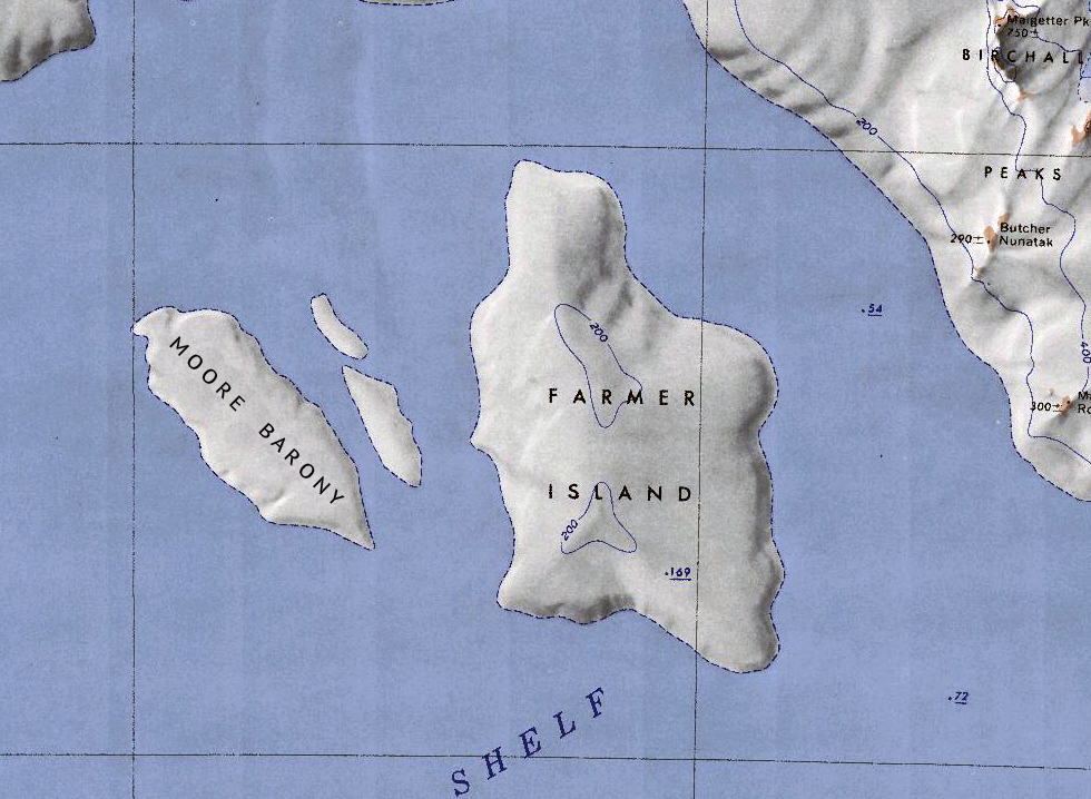 Barony of Moore.jpg 980 × 718; 531 KB
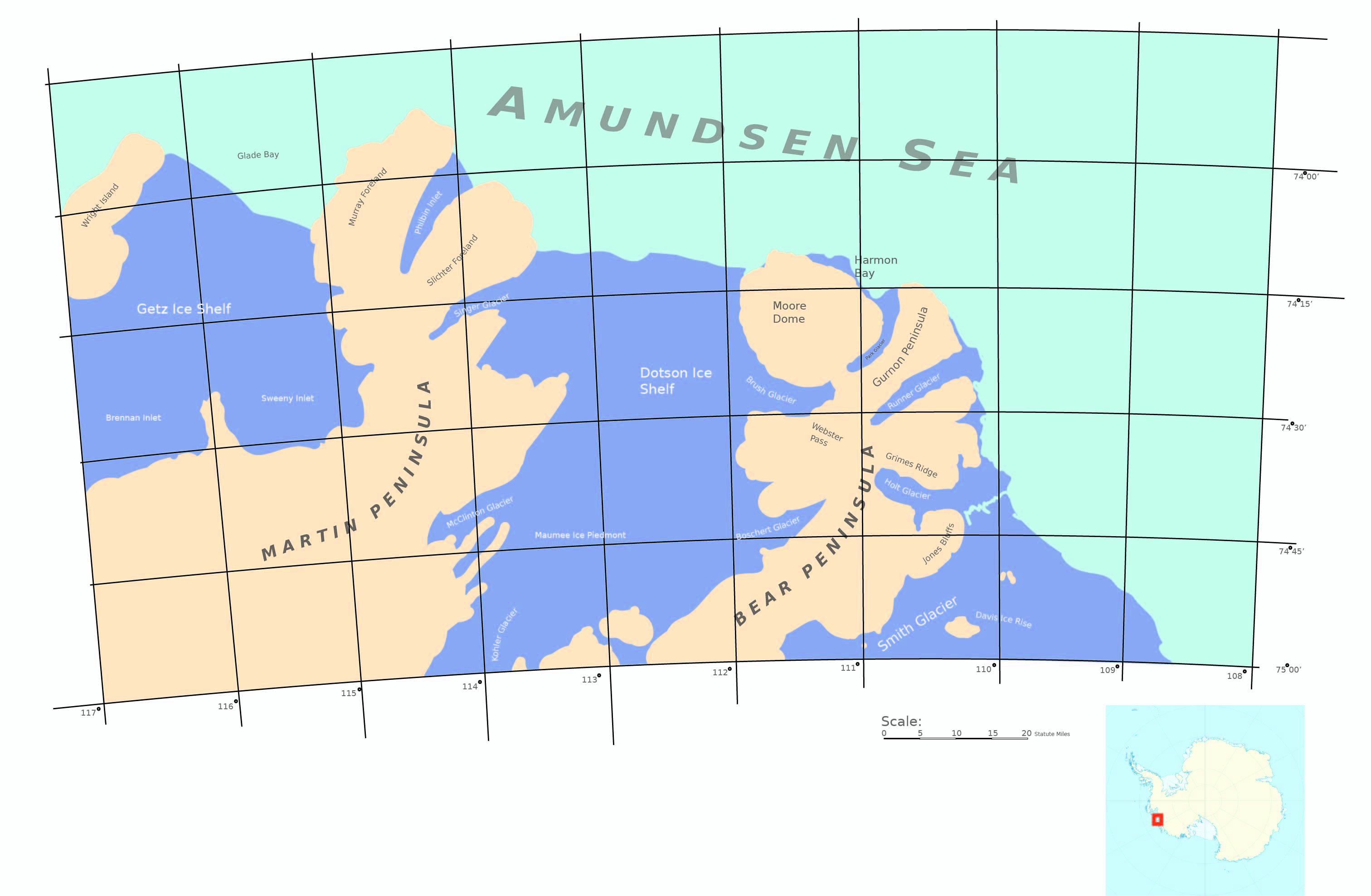 Bear and martin peninsulas.jpg 3,024 × 1,977; 830 KB
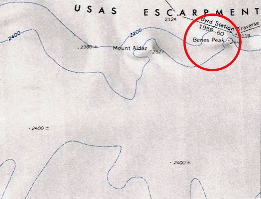 Benes-Peak.jpg 525 × 402; 172 KB
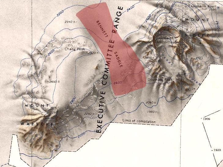 Bennett Saddle.jpg 729 × 546; 350 KB
 Benton-Island-Map.jpg 1,516 × 781; 219 KB
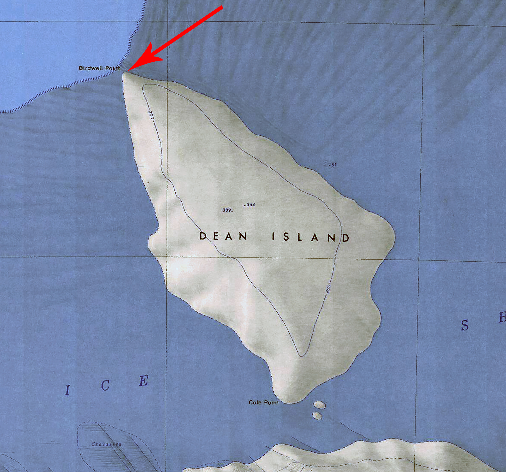 Birdwell-Point.jpg 1,772 × 1,653; 954 KB
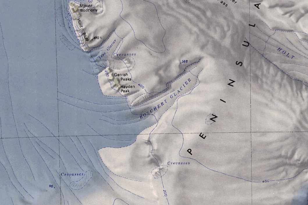 Boschert Glacier.png 1,059 × 706; 1.23 MB
 Boudette Peaks.jpg 1,695 × 1,303; 973 KB
 Brandenberger-Map.png 698 × 481; 667 KB
 Breeding-Nunatak.jpg 1,353 × 1,055; 264 KB
 Buennagel Peak.png 467 × 307; 280 KB
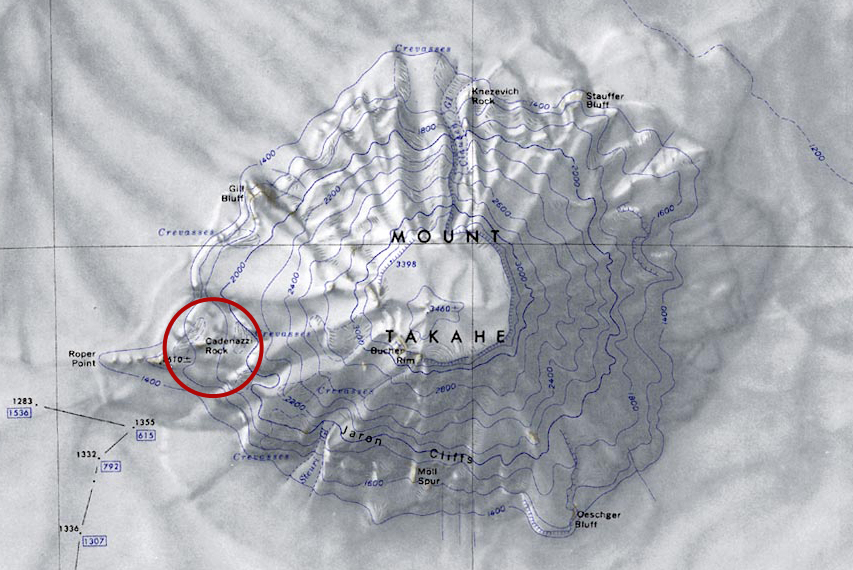 Cadenazzi-Map.jpg 853 × 570; 365 KB
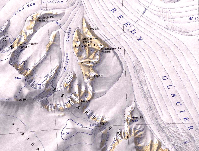 Caloplaca-Hills.jpg 792 × 603; 275 KB
 Calsahara-Three-Kingdoms.png 546 × 619; 752 KB
 Canisteo County1.jpg 768 × 708; 248 KB
 Cape Waite.jpg 1,201 × 1,055; 379 KB
 Carney Island Map.png 1,496 × 1,438; 1.91 MB
 Carney-Island-Map.jpg 1,798 × 1,590; 597 KB
 Cherry-Island.jpg 750 × 472; 181 KB
 Chinstrap Map.jpg 581 × 409; 91 KB
 Clausen Glacier.jpg 659 × 472; 318 KB
 Cole Point.jpg 1,411 × 962; 679 KB
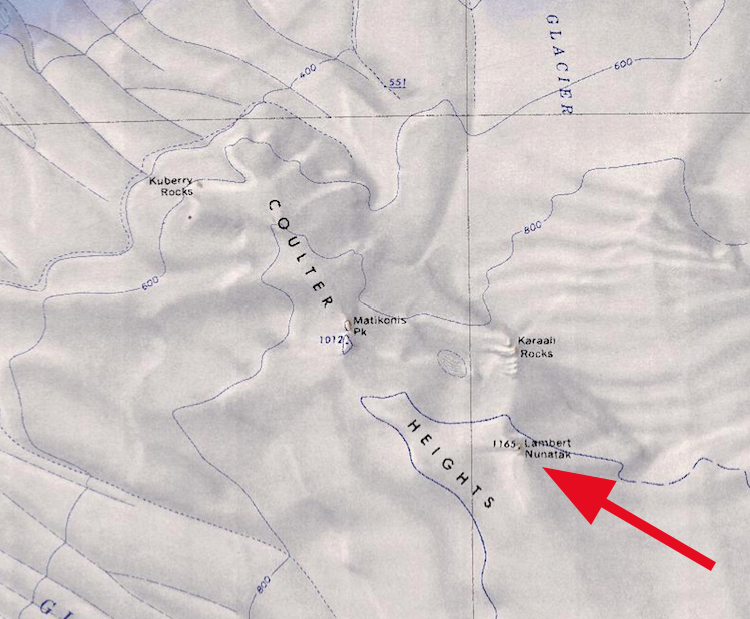
 Coulter Heights.png 750 × 619; 809 KB
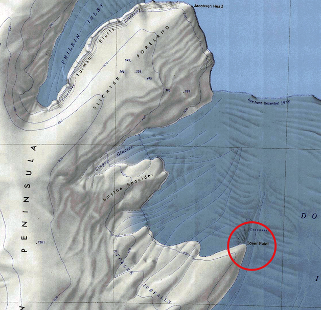 Coyer-Point.jpg 628 × 605; 369 KB
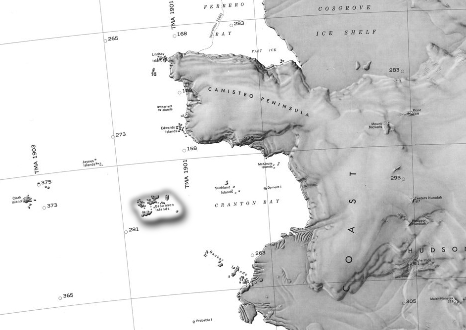
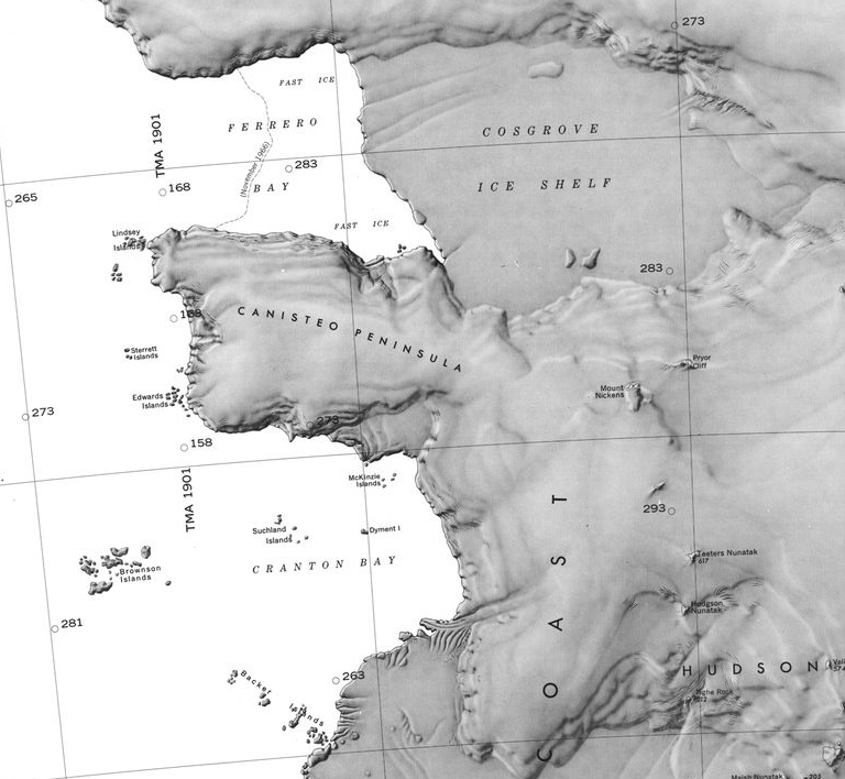
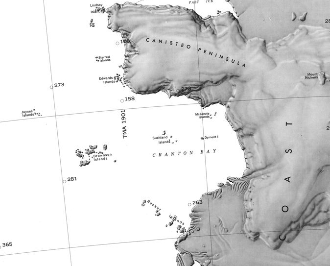 Cranton Bay.png 674 × 543; 238 KB
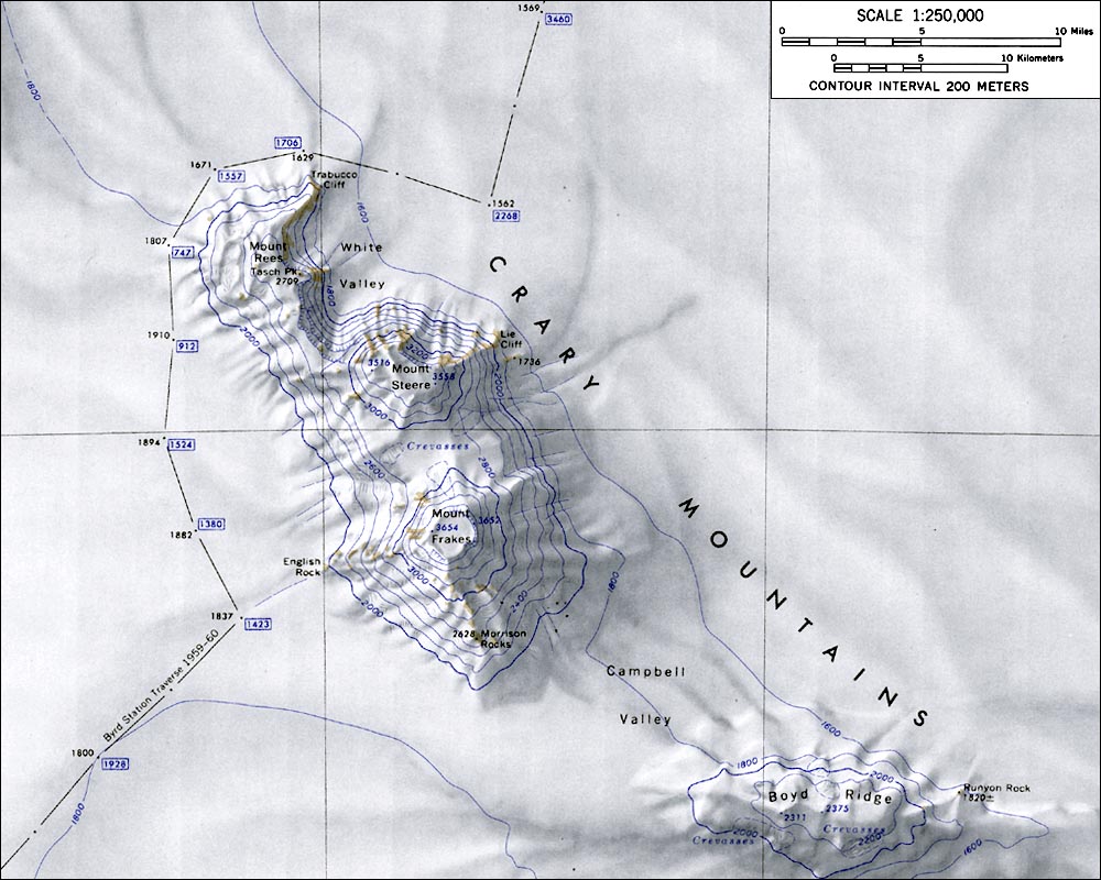 CraryMtnsMap.jpg 1,000 × 800; 145 KB
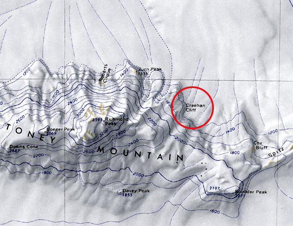 Creehan-Cliff.jpg 592 × 457; 218 KB
 Cronenwett-Island.jpg 999 × 691; 533 KB
 Cruzen-Island.png 534 × 457; 536 KB
 Cumming.jpg 1,000 × 800; 126 KB
 DAngelo.jpg 1,093 × 725; 160 KB
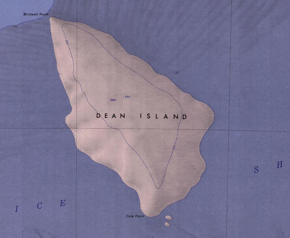 Dean-Island-Map.jpg 1,122 × 920; 136 KB
 Dendtler.jpg 759 × 761; 277 KB
 Denfeld-mts.jpg 1,320 × 825; 225 KB
 Dorchuck Glacier.jpg 922 × 700; 616 KB
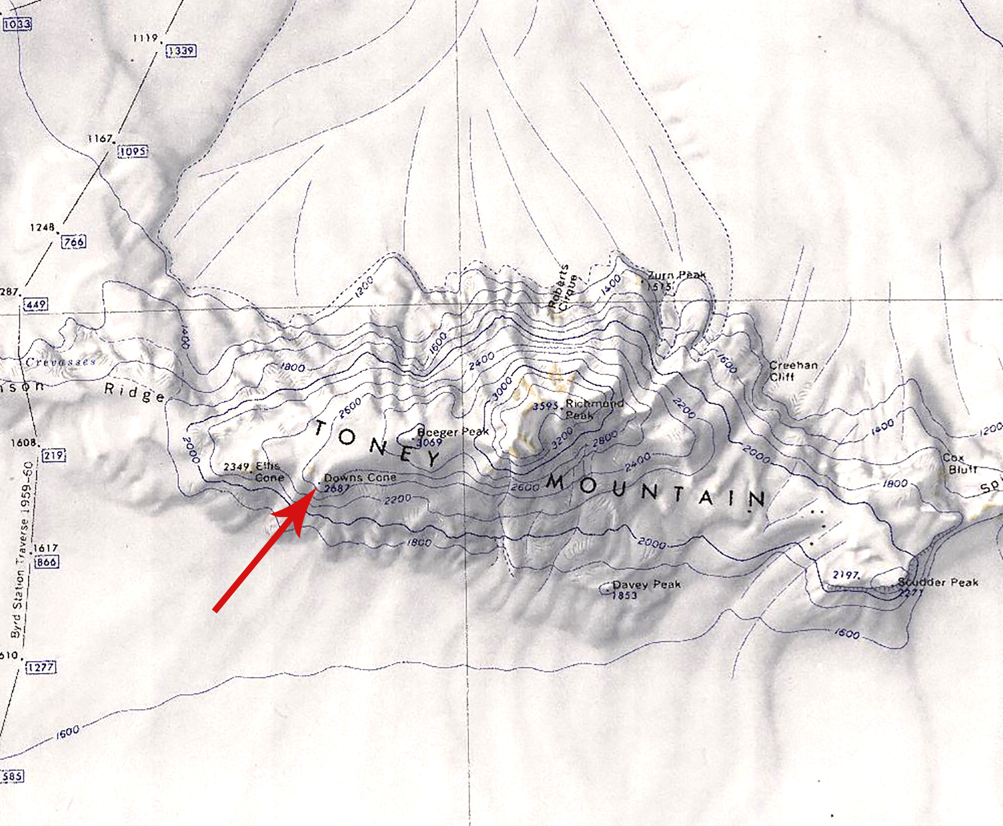 Downs Cone.jpg 1,998 × 1,644; 739 KB
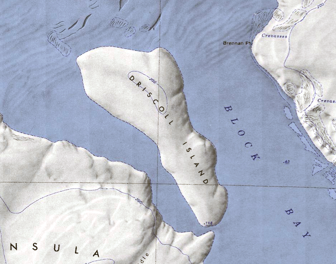 Driscoll-Island.png 663 × 521; 620 KB
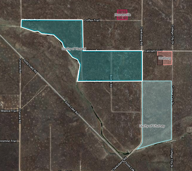 Duchy-Hazard.png 652 × 583; 670 KB
 Eblen-Hills.jpg 593 × 416; 251 KB
 Eckman-Bluff.jpg 652 × 483; 250 KB
 Eights Coast.png 1,002 × 643; 733 KB
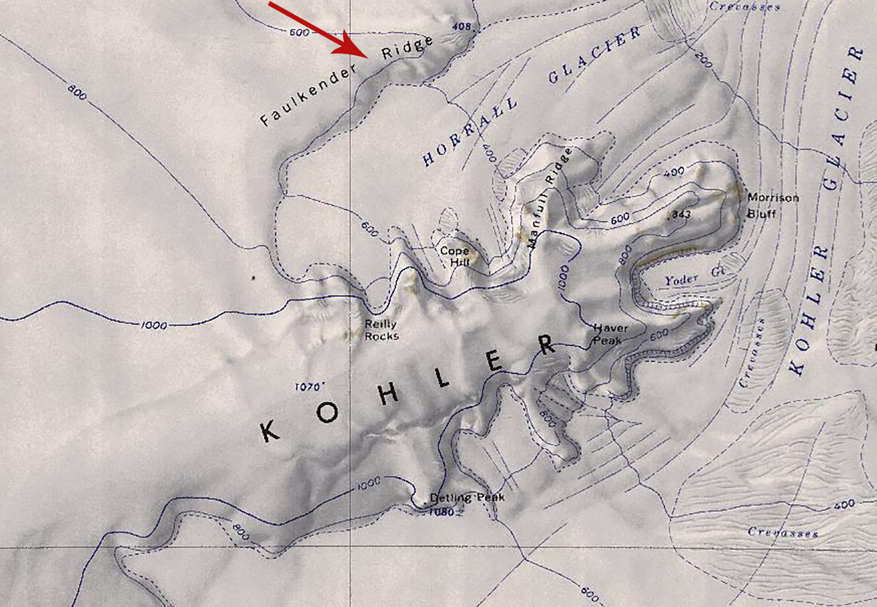 Faulkender Ridge.jpg 1,746 × 1,208; 668 KB
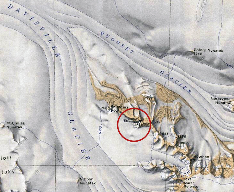 Feeley-Peak.jpg 748 × 614; 410 KB
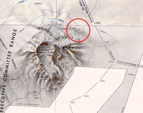 Feyerharm-Map.jpg 569 × 451; 234 KB
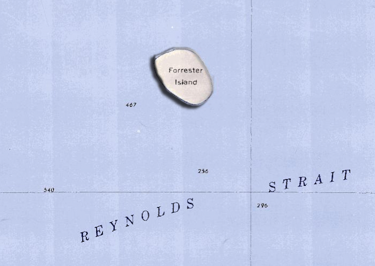 Forrester-Island.png 768 × 545; 567 KB
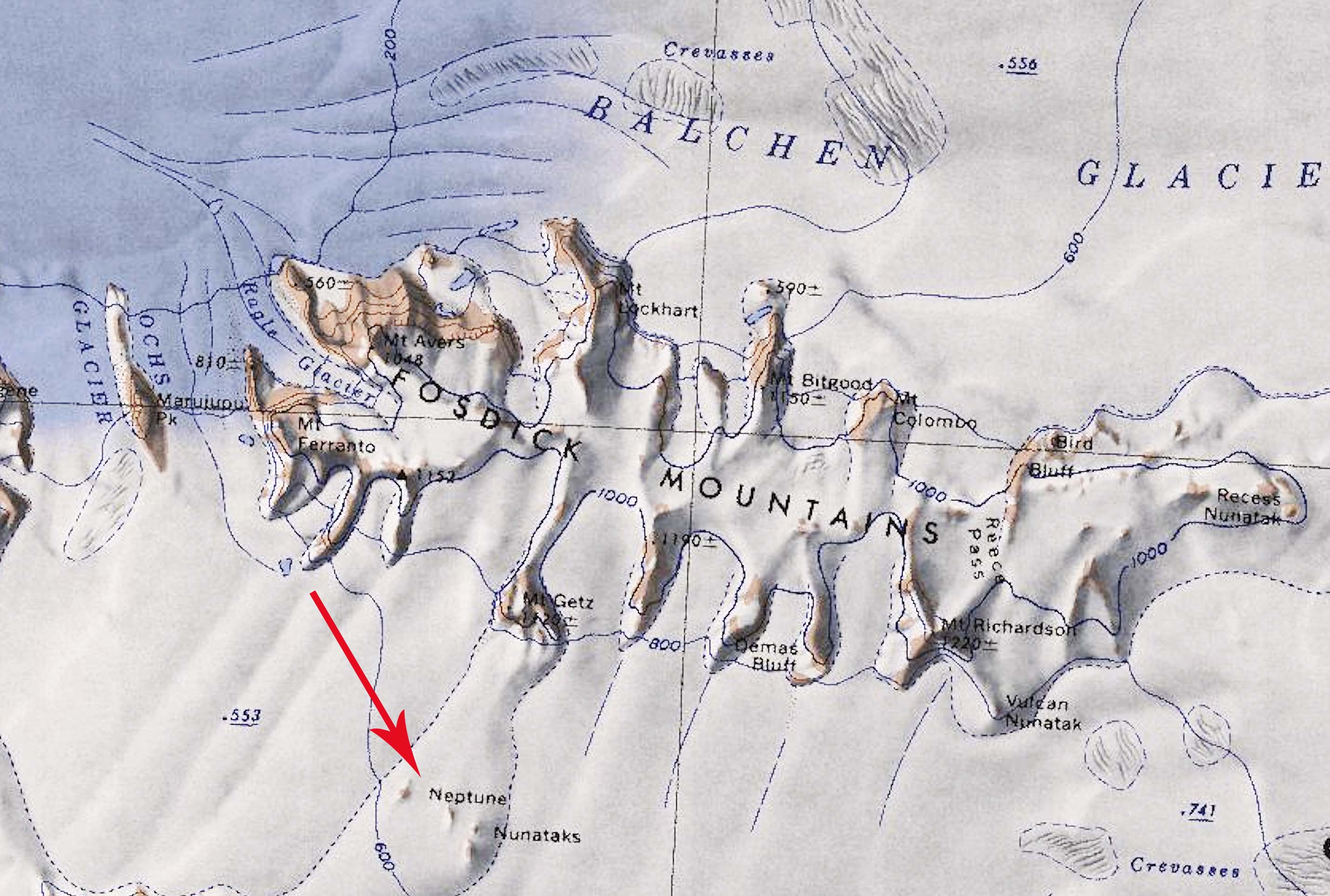
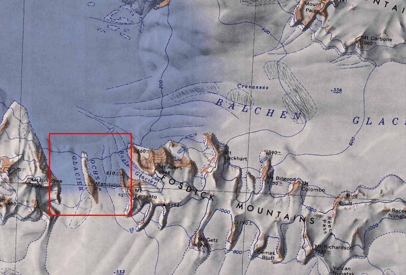
 Fosdick Mts.png 718 × 458; 657 KB
 Frost Cliff.jpg 549 × 557; 232 KB
 Frostman Glacier.png 836 × 630; 1.01 MB
 Gardiner Ridge.jpg 1,724 × 1,296; 402 KB
 Gawne-Nun.jpg 653 × 338; 223 KB
 George-Nun.jpg 709 × 631; 378 KB
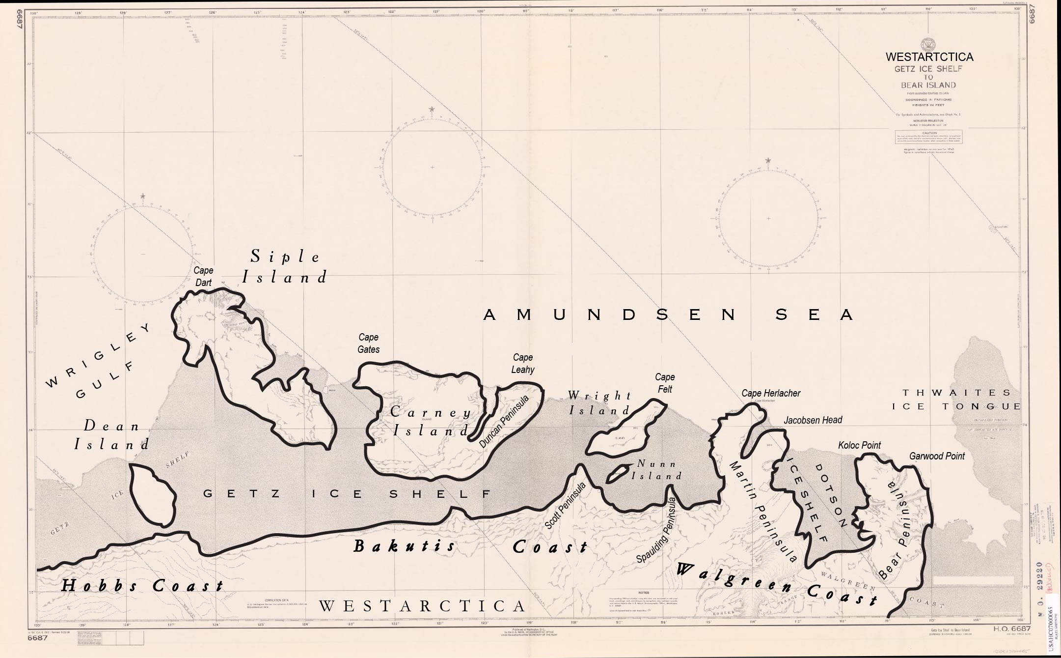 Getz Ice Shelf to Bear Island.jpg 2,161 × 1,339; 305 KB
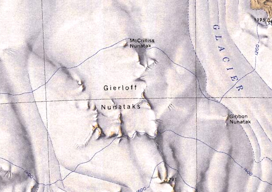 Gierloff Nunataks.jpg 933 × 659; 222 KB
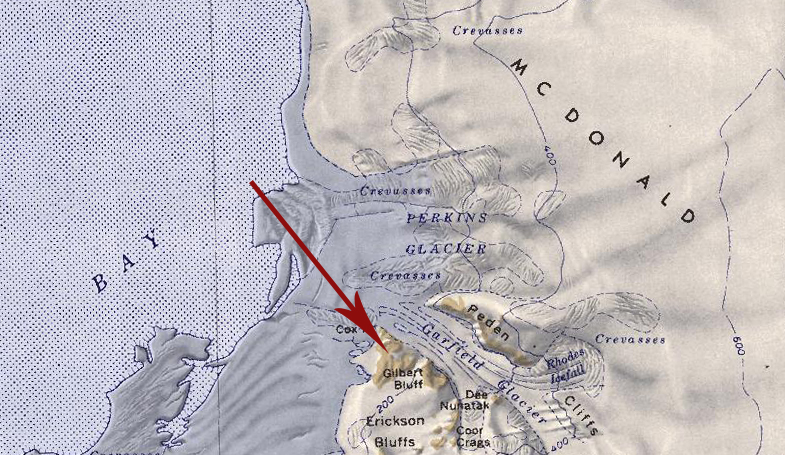 Gilbert Bluff.jpg 785 × 455; 335 KB
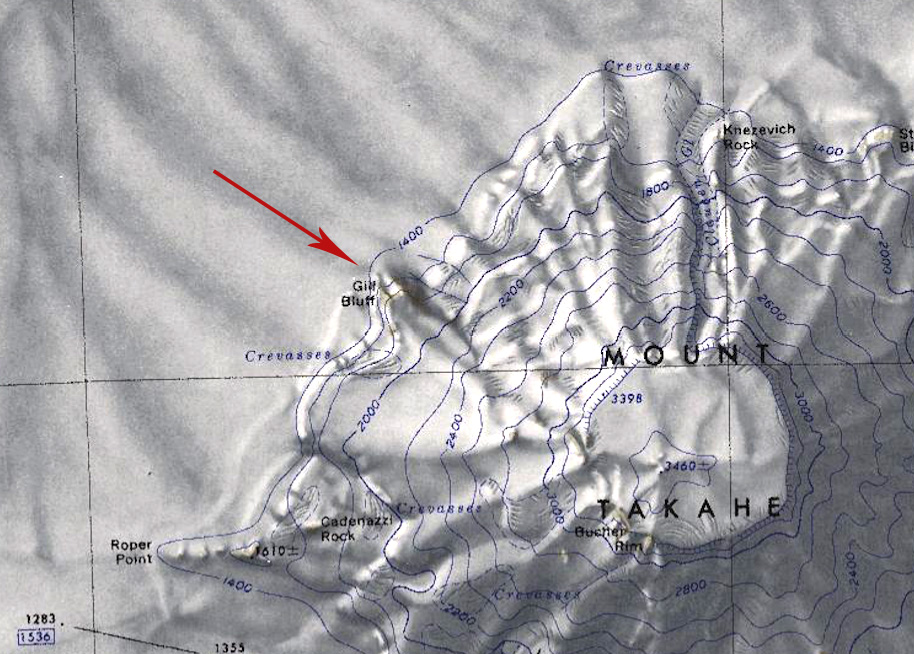 Gill-Bluff.jpg 914 × 654; 266 KB
 Goldstream-Peak.png 340 × 214; 186 KB
 Goodwin Peak.jpg 597 × 523; 205 KB
 Grand-Shepard-Map.png 748 × 562; 662 KB
 Grant Island.jpg 1,670 × 1,556; 895 KB
 Griffith-Nunataks.jpg 526 × 515; 137 KB
 Groves-Island.png 671 × 584; 661 KB
 Guest Peninsula Map.jpg 821 × 586; 77 KB
 Gurnon-Peninsula.png 761 × 622; 1.01 MB
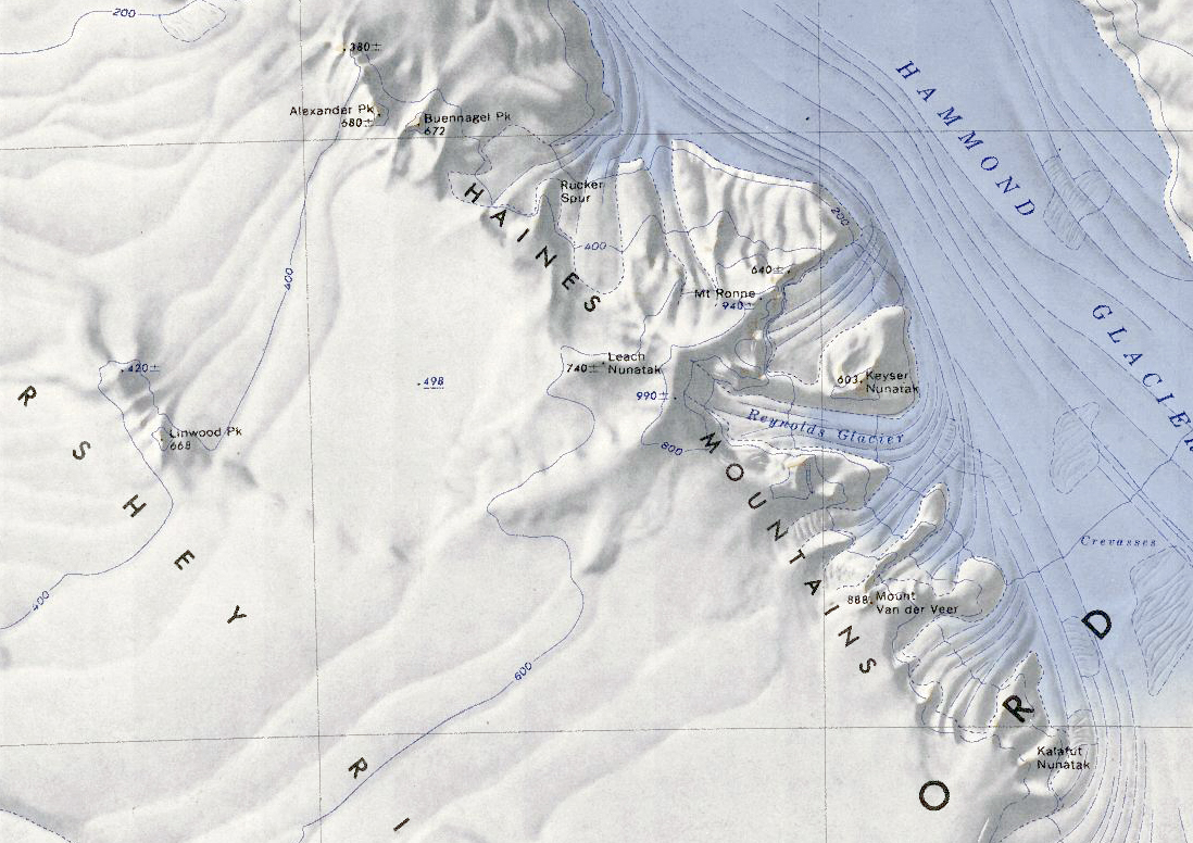 Haines Mountains.jpg 1,098 × 776; 618 KB
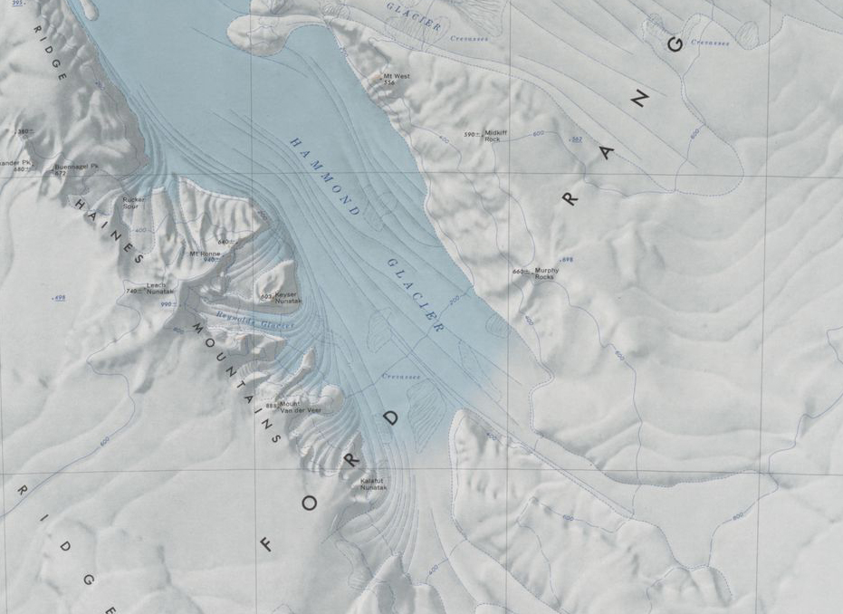 Hammond Glacier.jpg 931 × 678; 336 KB
 Hanessian-Foreland.png 559 × 719; 787 KB
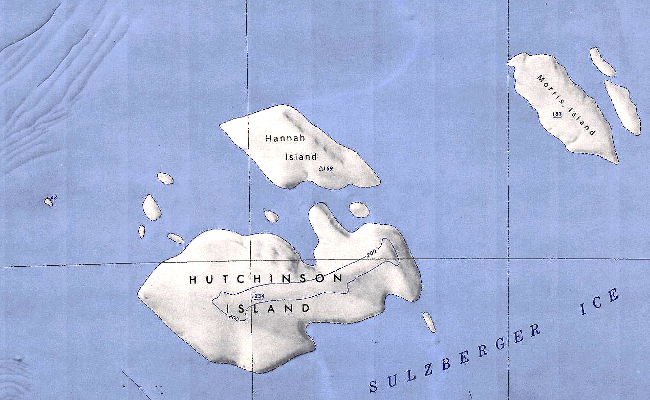 Hannah-Hutchinson.jpg 1,270 × 783; 1,015 KB
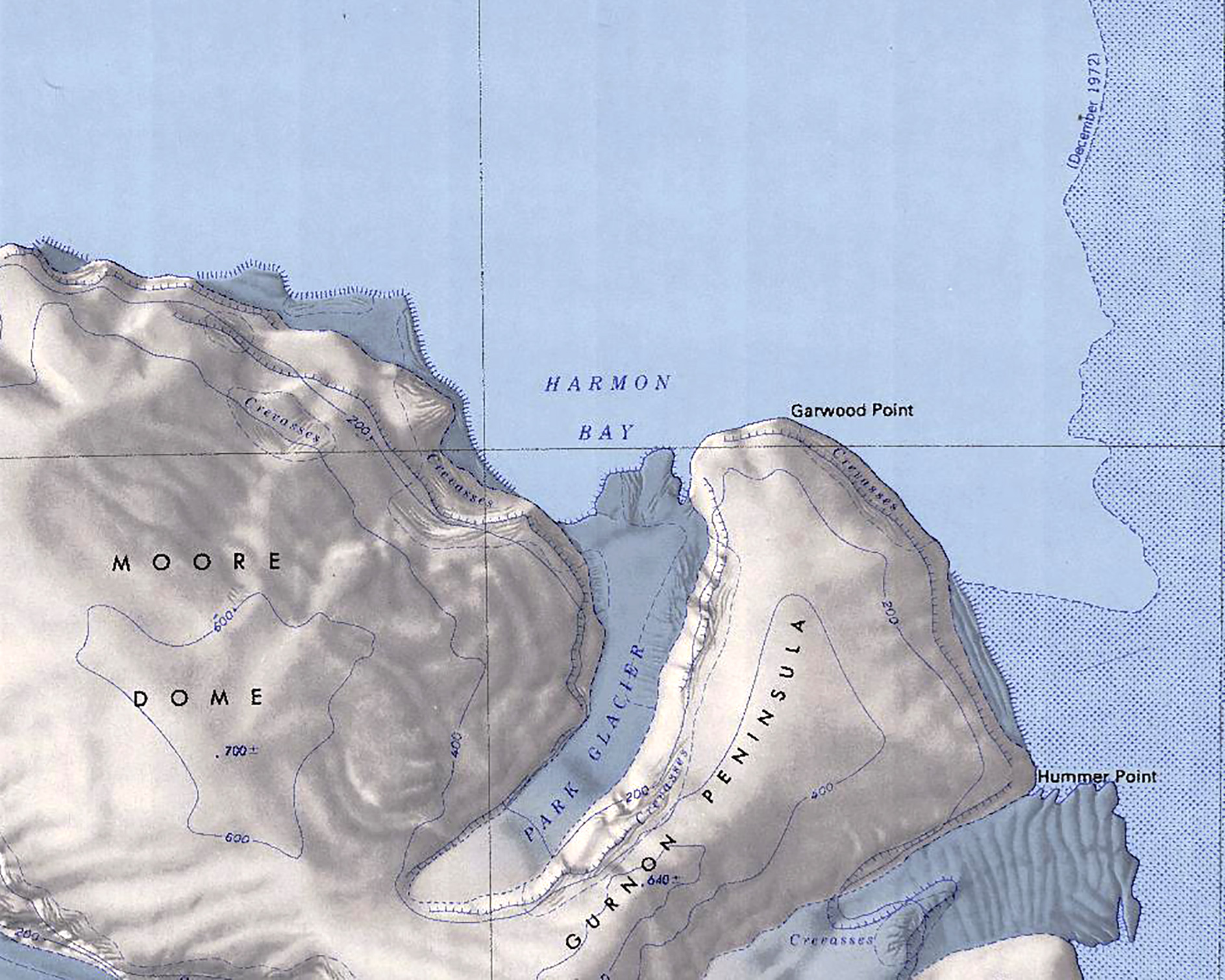 Harmon Bay.jpg 1,887 × 1,509; 913 KB
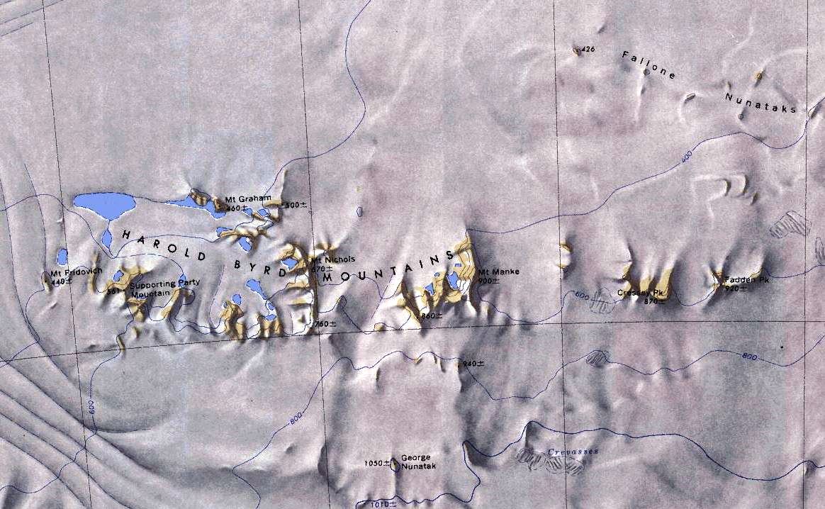 Harold-Mountains.jpg 1,164 × 718; 186 KB
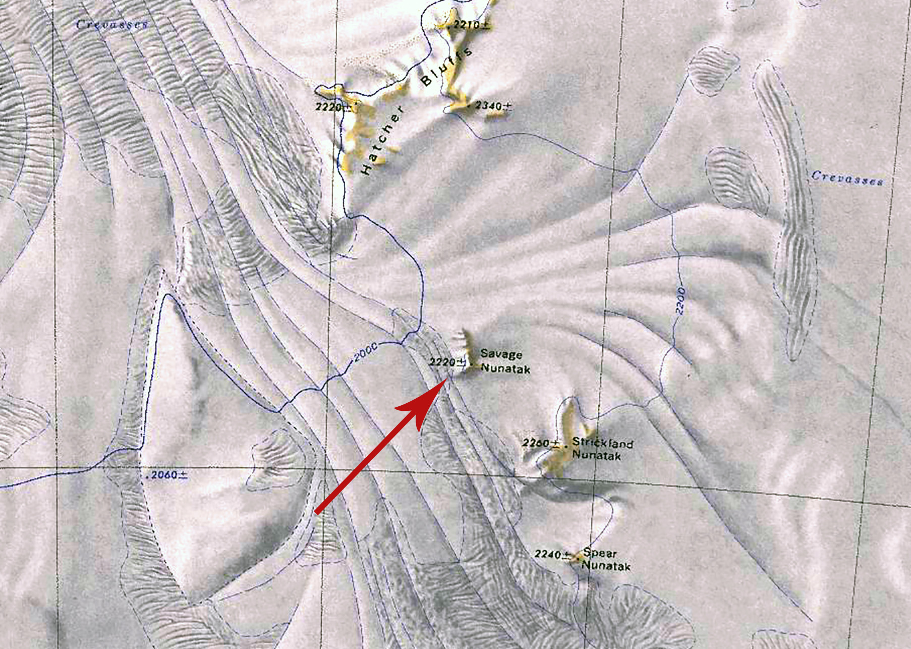
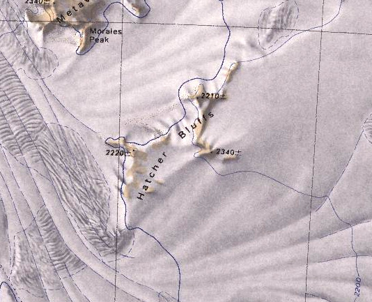 Hatcher Bluffs.jpg 534 × 433; 124 KB
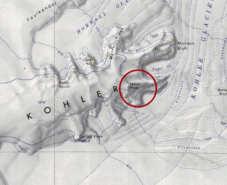 Haver-Peak.jpg 789 × 642; 439 KB
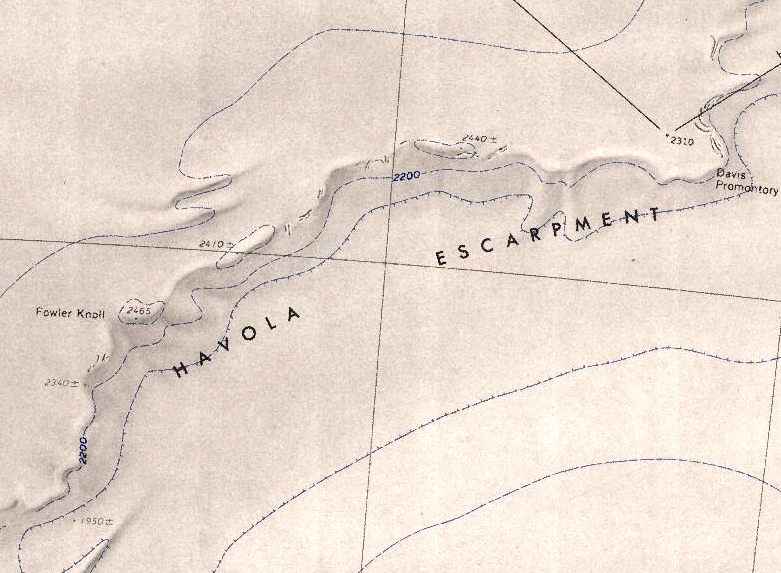 Havola-Escarpment.png 781 × 573; 701 KB
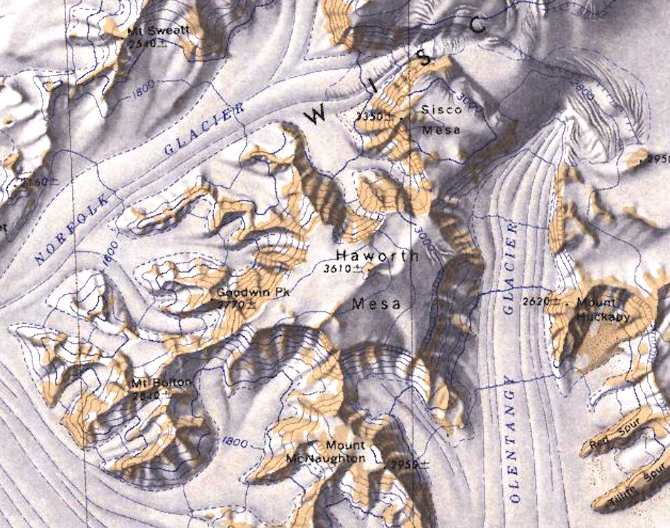 Haworth Mesa.jpg 942 × 742; 381 KB
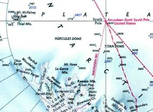 Hercules Dome Map.png 311 × 228; 146 KB
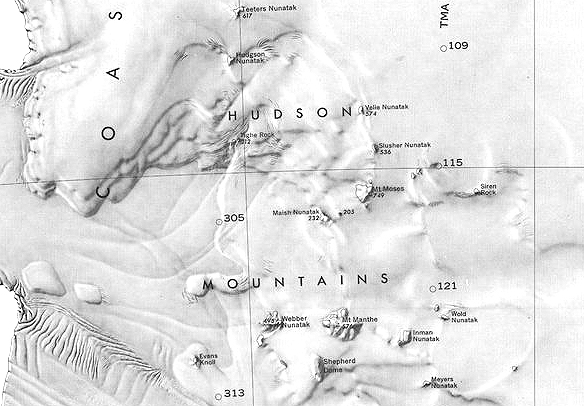 Hudson-Mountains.jpg 584 × 406; 168 KB
 Icesheet-Map.jpg 393 × 335; 52 KB
 Ickes Mountains - Antarctica.png 614 × 493; 539 KB
 Ickes Nunataks.png 652 × 485; 524 KB
 Ivory Tower Map.jpg 2,144 × 1,494; 604 KB
 Jacobel Glacier.jpg 2,052 × 1,406; 538 KB
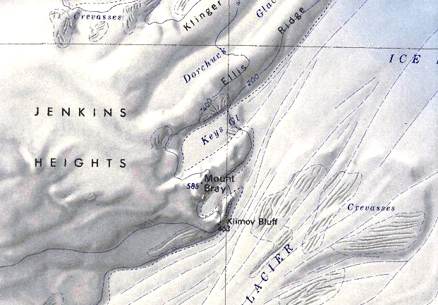
 Jenkins-Heights.png 621 × 475; 572 KB
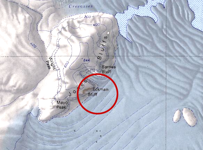
 Jones Bluffs.jpg 652 × 483; 243 KB
 Kessens-Peak.jpg 738 × 511; 371 KB
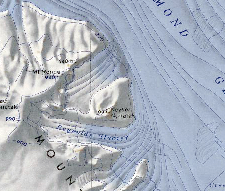 Keyser Nunatak.png 452 × 385; 381 KB
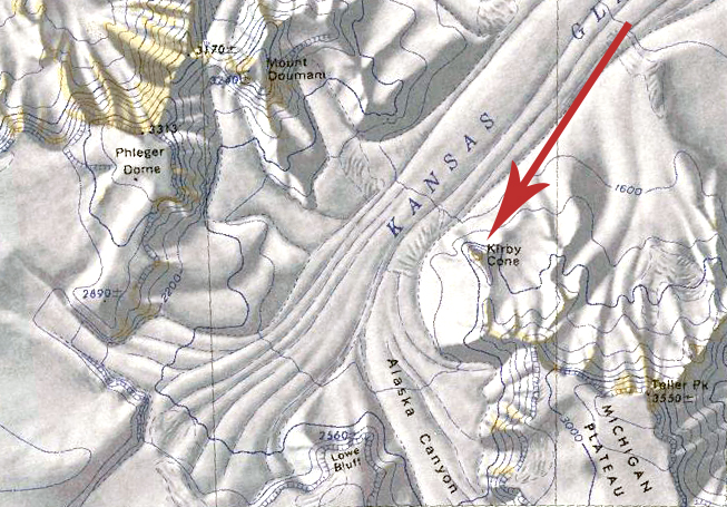 Kirby Cone Map.jpg 653 × 455; 326 KB
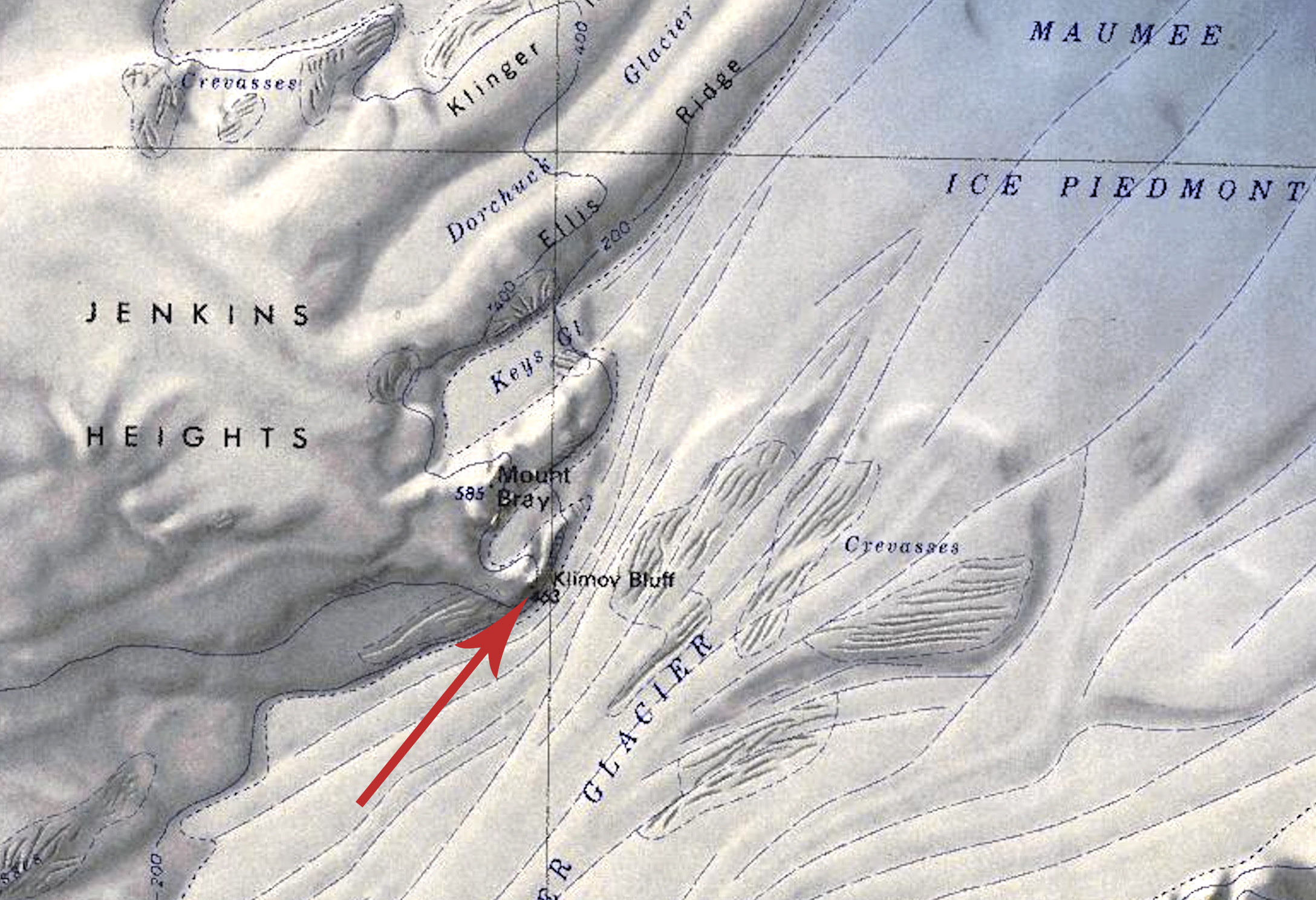 Klimov Bluff.jpg 2,176 × 1,488; 703 KB
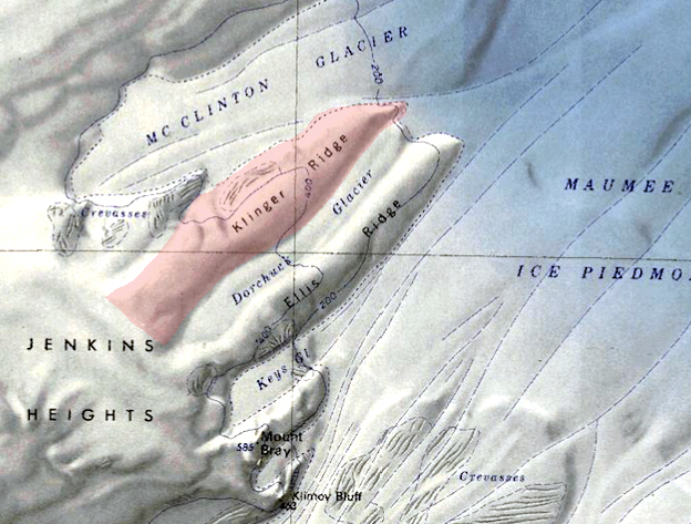 Klinger-Ridge.jpg 624 × 473; 278 KB
 Knox Peak.jpg 920 × 669; 510 KB
 Kohler Range - Smith Glacier.png 686 × 512; 628 KB
 Koloc-Point.png 720 × 595; 713 KB
 Kramer Island.jpg 1,635 × 1,086; 380 KB
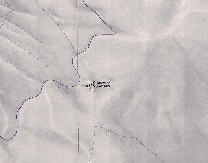 Krigsvold Nunataks.png 674 × 529; 656 KB
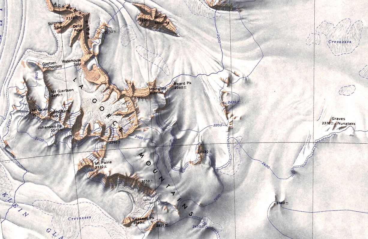 LaGorce.jpg 1,227 × 797; 228 KB
 Lambert Barony.jpg 750 × 619; 301 KB
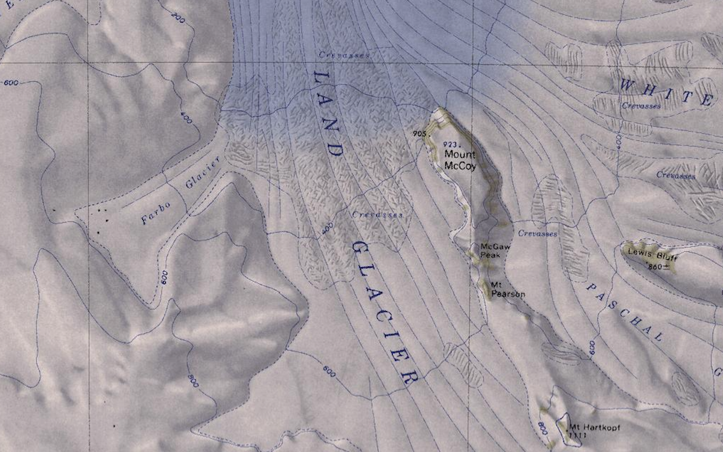 Land-Glacier-Map.png 1,016 × 635; 1.08 MB
 Land-Glacier-Milan.png 738 × 505; 750 KB
 Langford Peak.jpg 640 × 542; 329 KB
 Lauff-Burtis Islands.png 783 × 500; 431 KB
 Lewisohn Nunatak.jpg 1,846 × 1,509; 905 KB
 LindRidge.jpg 927 × 676; 575 KB
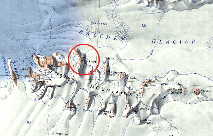 Lockhart.jpg 718 × 458; 332 KB
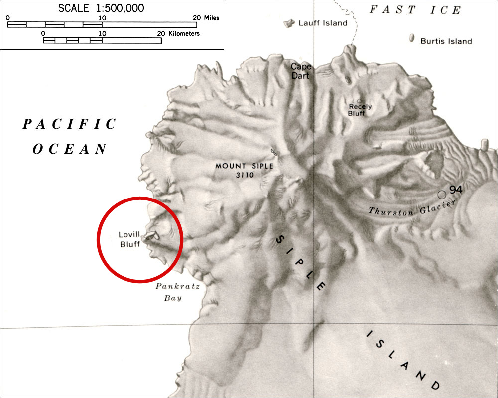 Loville-Bluff.jpg 1,000 × 800; 173 KB
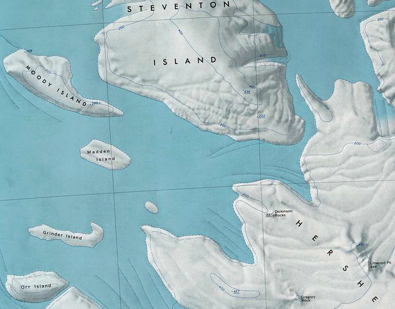
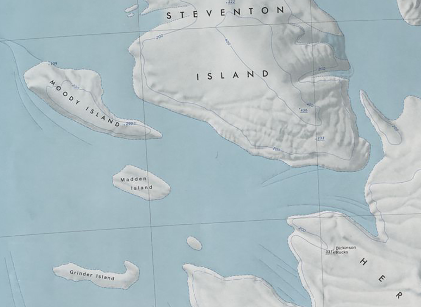 Madden Island.jpg 1,414 × 1,032; 409 KB
 Map-AWS from UW.png 800 × 600; 116 KB
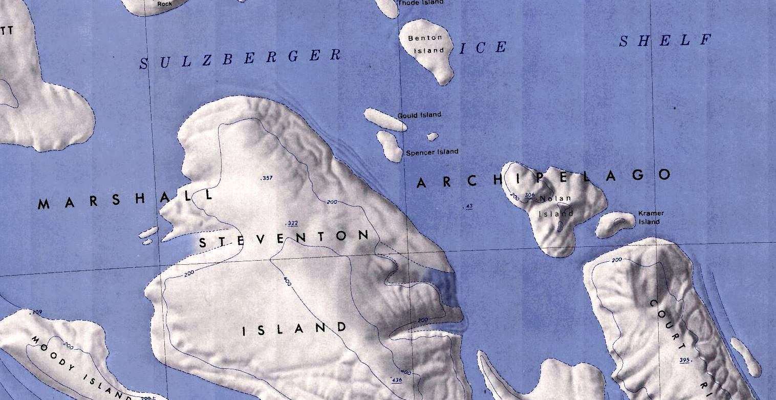
 Marshall-Islands.png 814 × 638; 971 KB
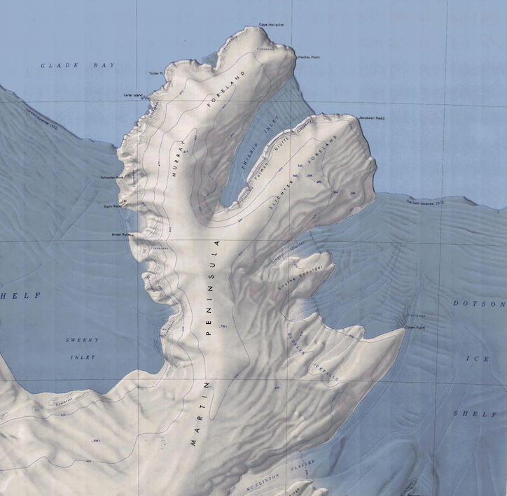 Martin Peninsula Map.png 724 × 709; 921 KB
 Martin-West.jpg 818 × 590; 342 KB
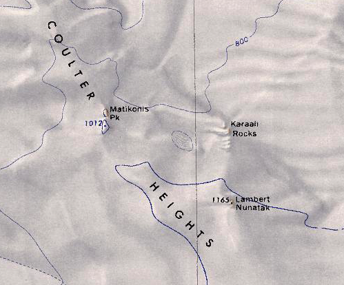 Matikonis Peak.png 499 × 414; 400 KB
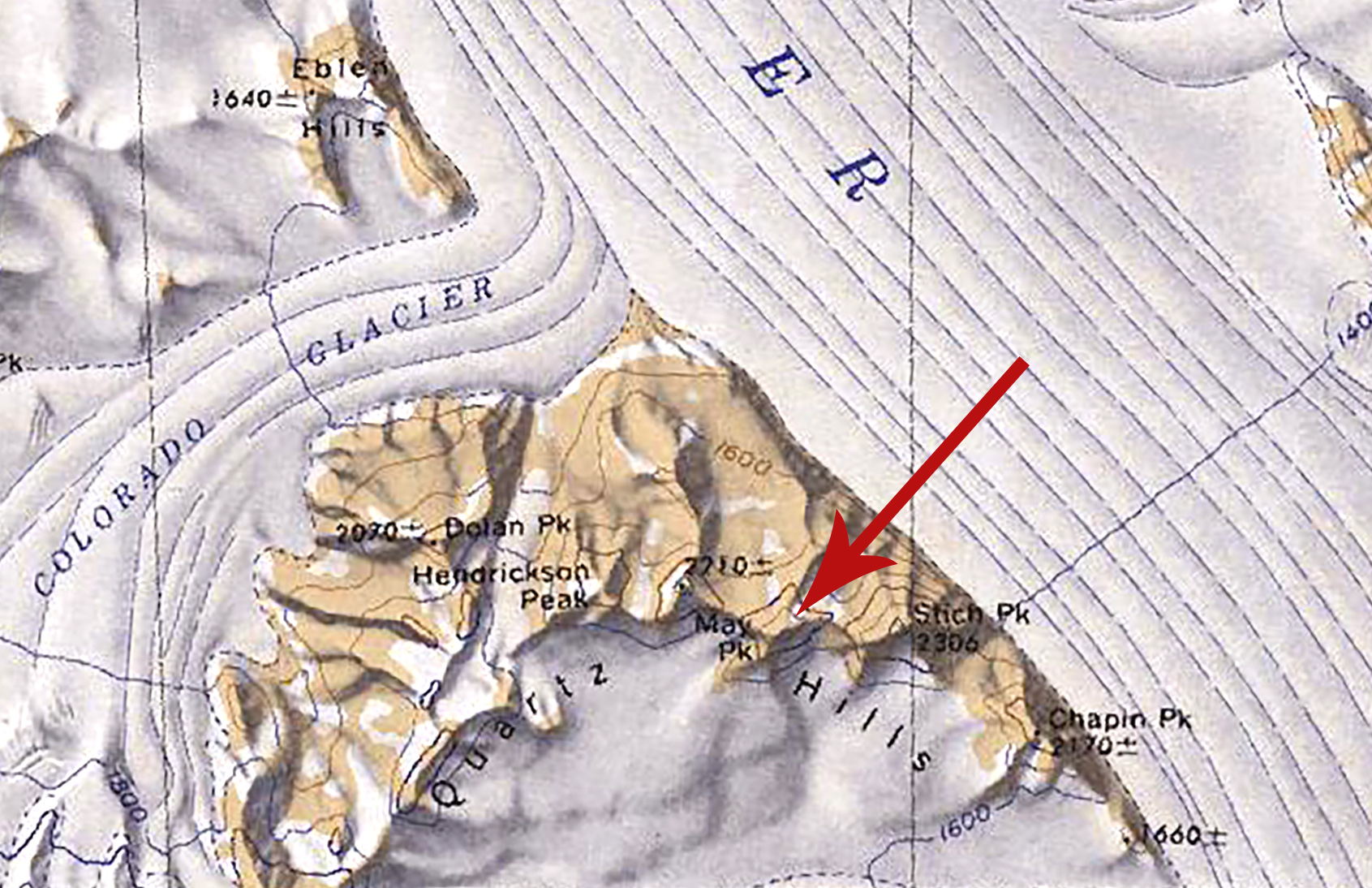 May Peak.jpg 1,691 × 1,094; 686 KB
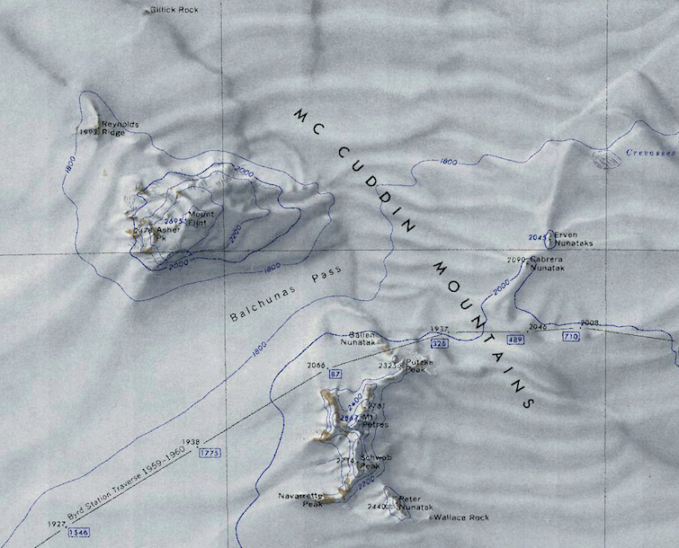 McCuddin Mountains.png 755 × 610; 901 KB
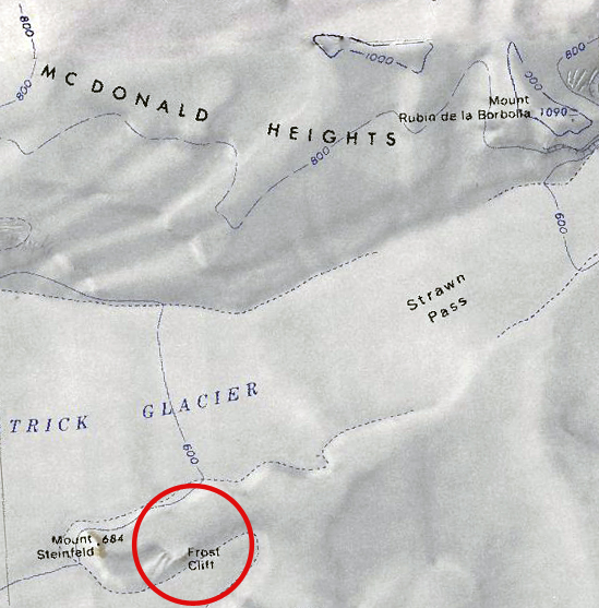
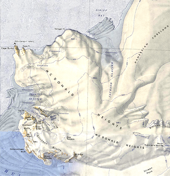 McDonald Heights-Small.jpg 558 × 575; 357 KB
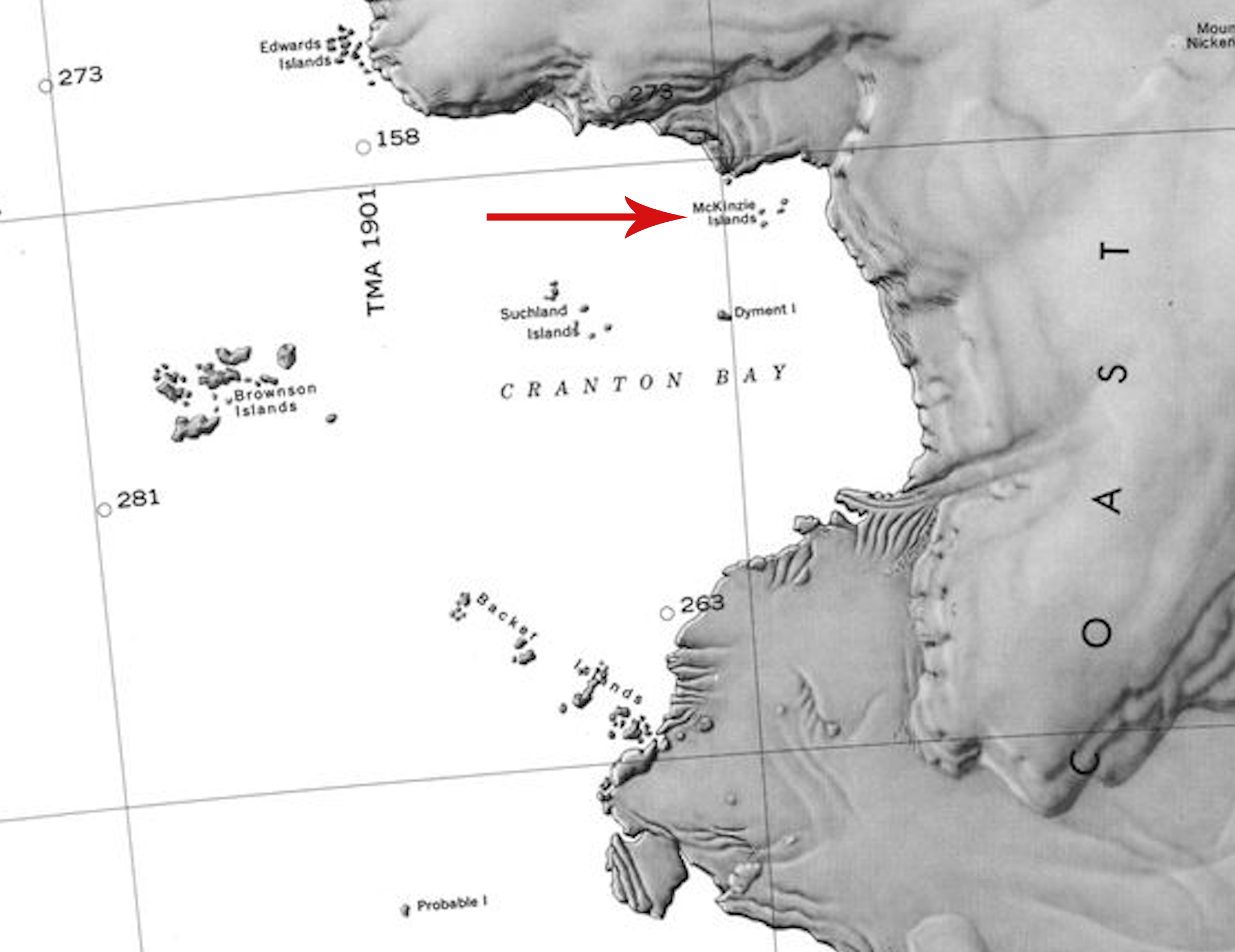 McKinzie Islands.jpg 2,170 × 1,674; 673 KB
 Melville-Point.jpg 889 × 530; 427 KB
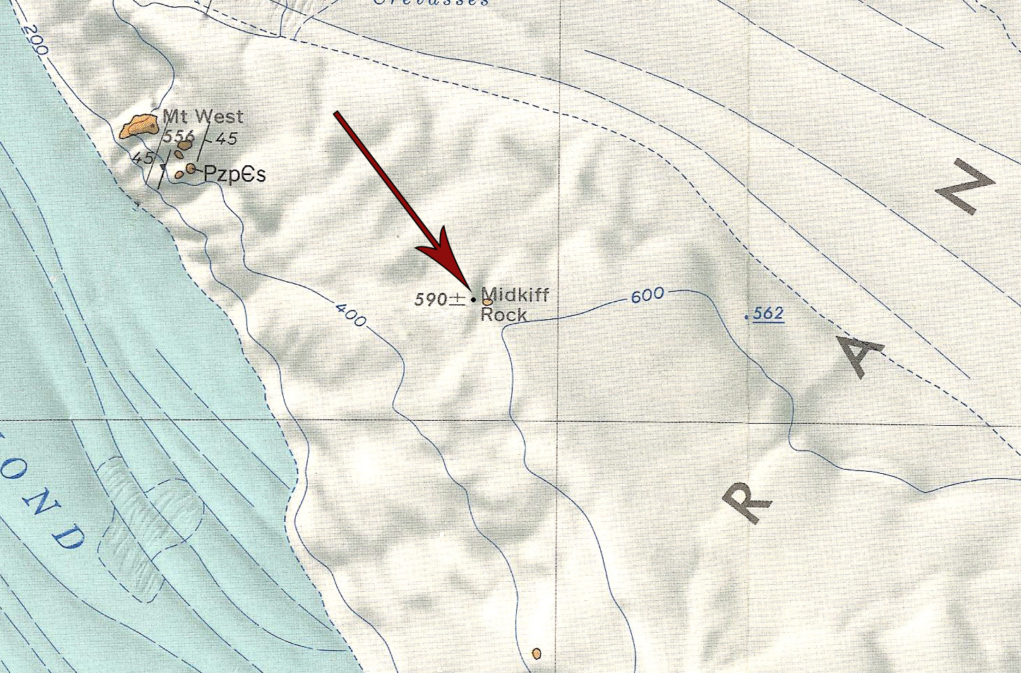 Midkiff Rock.jpg 1,446 × 953; 794 KB
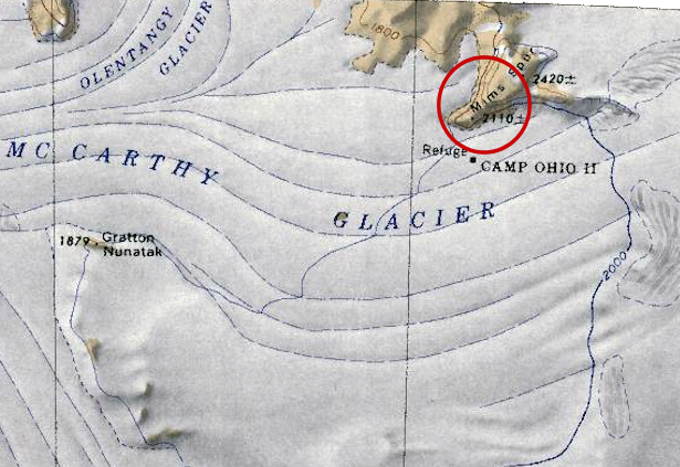 Mims Spur.jpg 615 × 423; 231 KB
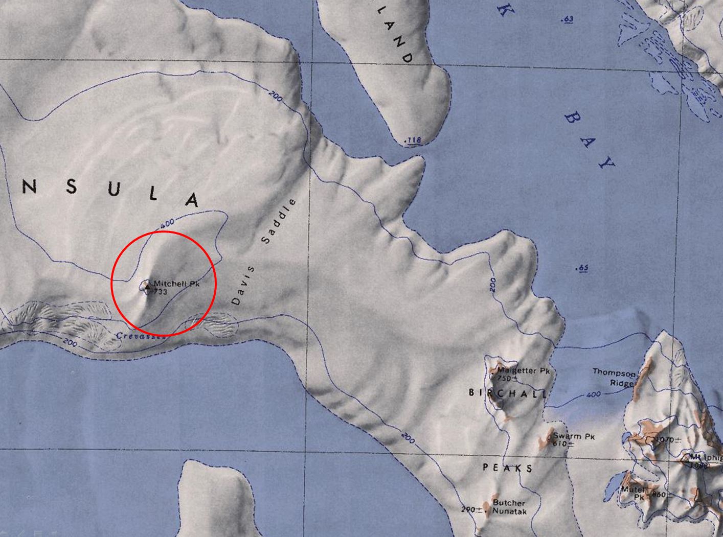 Mitchell-Peak.jpg 1,414 × 1,051; 209 KB
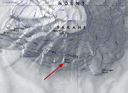 Moll-Spur.jpg 534 × 388; 168 KB
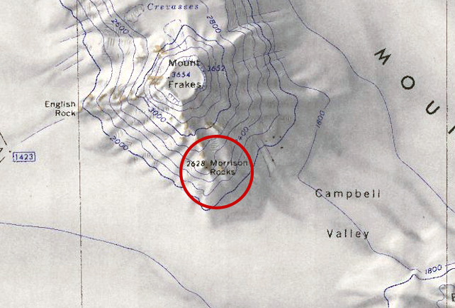 Morrison-Barony.jpg 642 × 434; 246 KB
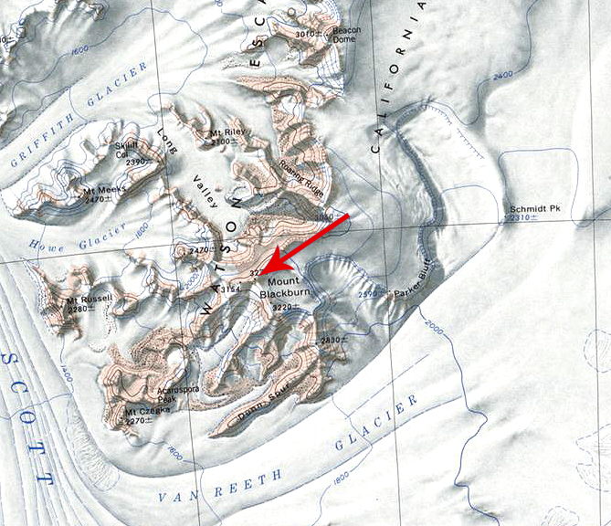 Mount Blackburn.jpg 669 × 576; 430 KB
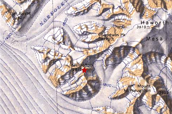 Mount Bolton.jpg 721 × 479; 216 KB
 Mount Bray.jpg 621 × 433; 158 KB
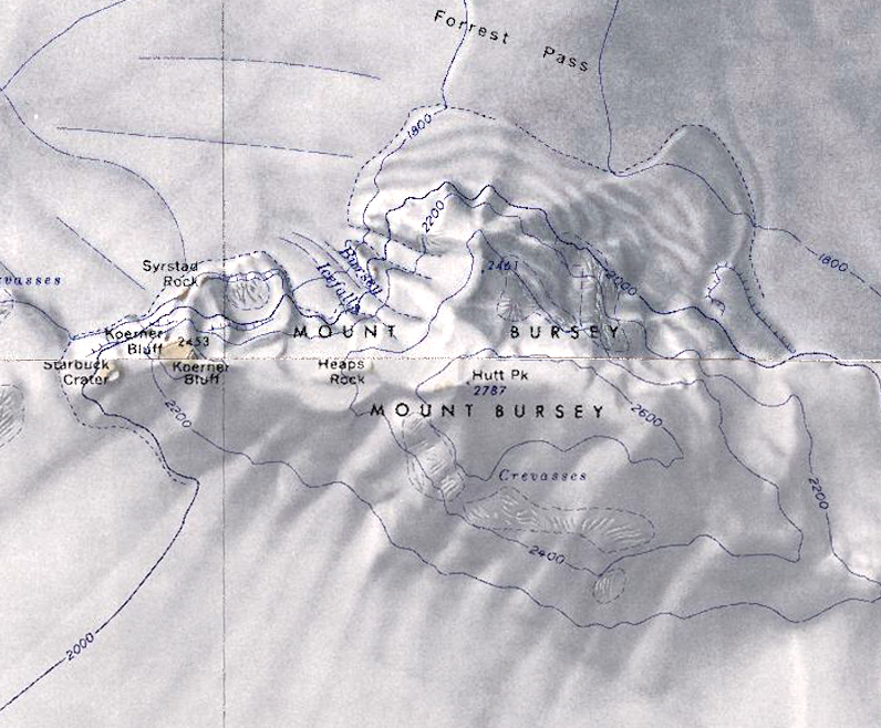 Mount Bursey.jpg 796 × 658; 401 KB
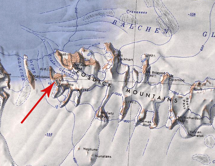 Mount Ferranto.jpg 733 × 566; 411 KB
 Mount Frontz.jpg 556 × 504; 301 KB
 Mount Hartigan.jpg 649 × 498; 254 KB
 Mount June.jpg 781 × 598; 352 KB
 Mount Manke.jpg 505 × 371; 168 KB
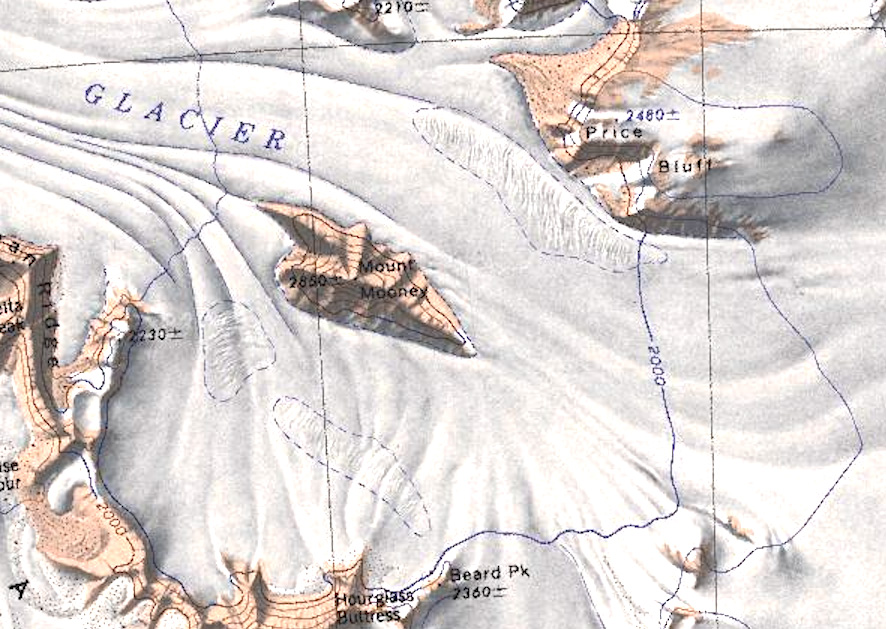 Mount Mooney.jpg 886 × 629; 249 KB
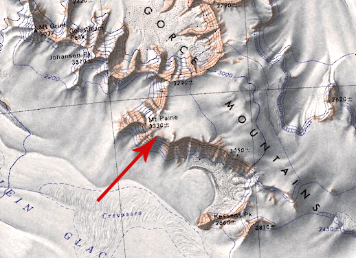 Mount Paine.jpg 518 × 376; 224 KB
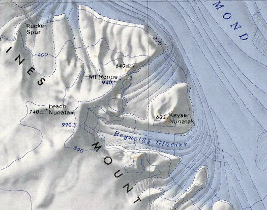 Mount Ronne.png 525 × 413; 471 KB
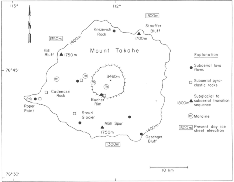 Mount Takahe Geology.png 809 × 630; 138 KB
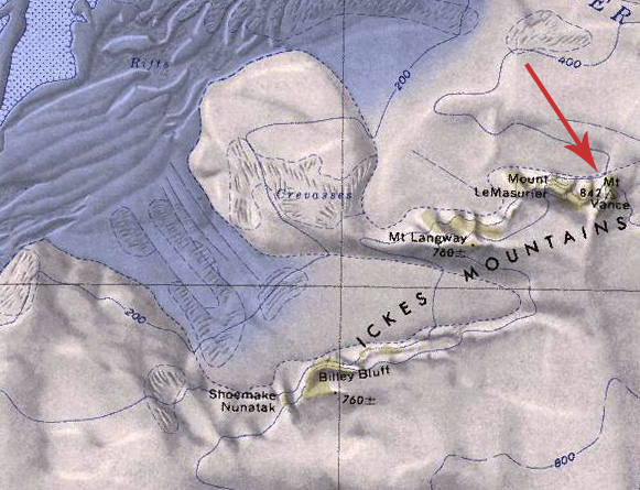 Mount Vance.jpg 581 × 445; 181 KB
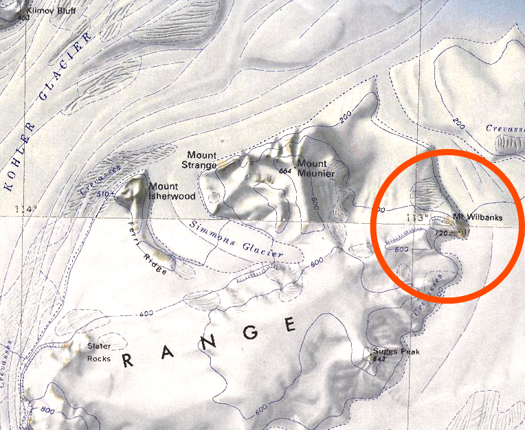 Mount Wilbanks.jpg 764 × 626; 448 KB
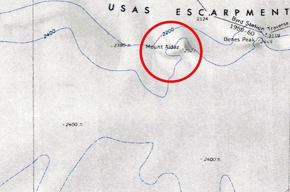 Mount-Aldaz.jpg 597 × 396; 186 KB
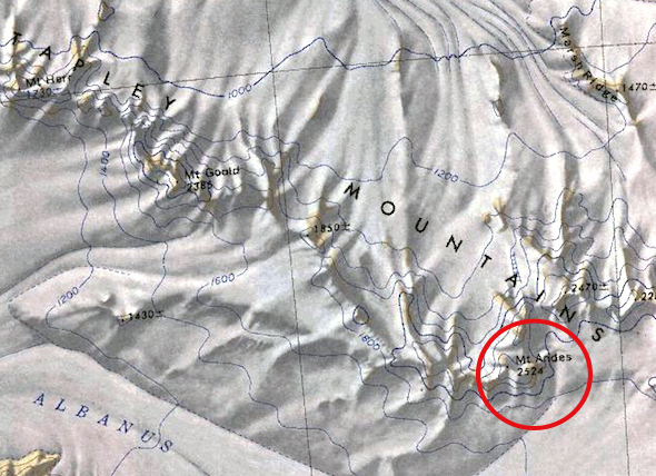 Mount-Andes.jpg 590 × 428; 258 KB
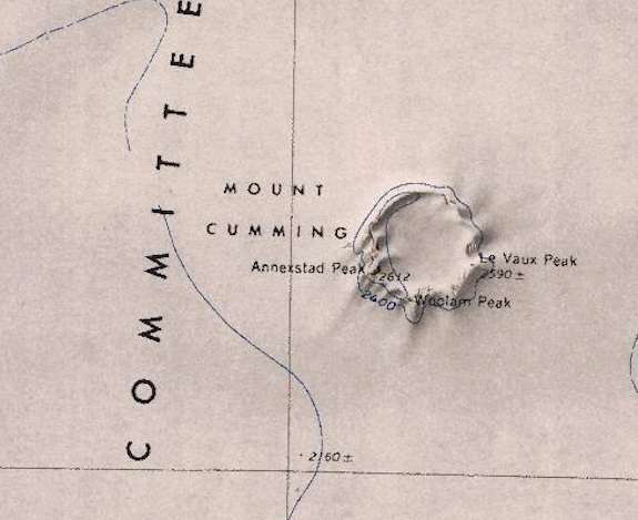 Mount-Cumming.png 575 × 469; 421 KB
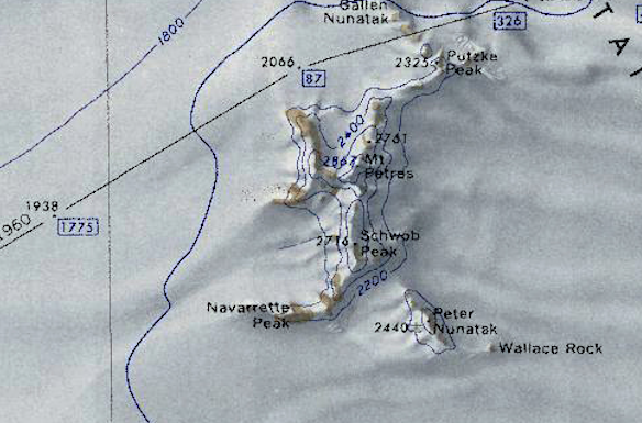 Mount-Petras.png 584 × 385; 439 KB
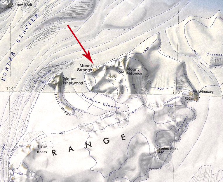 Mount-Strange.jpg 764 × 626; 460 KB
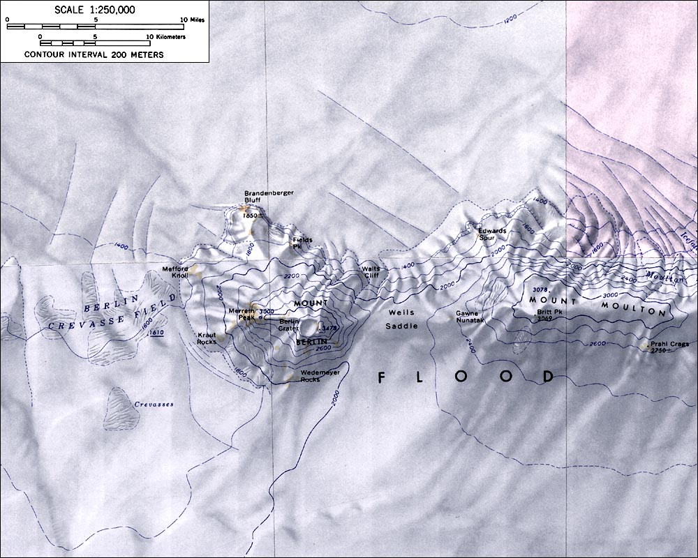 MountBerlinMap.jpg 1,000 × 800; 179 KB
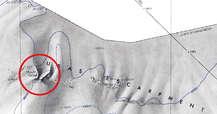 MountGalla.jpg 711 × 373; 185 KB
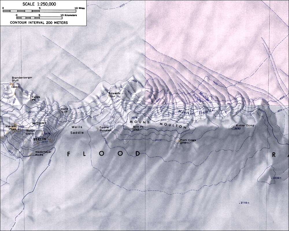 MountMoultonMap.jpg 1,000 × 800; 172 KB
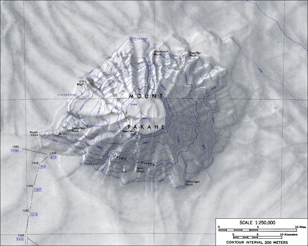 MountTakaheMap.jpg 1,000 × 800; 139 KB
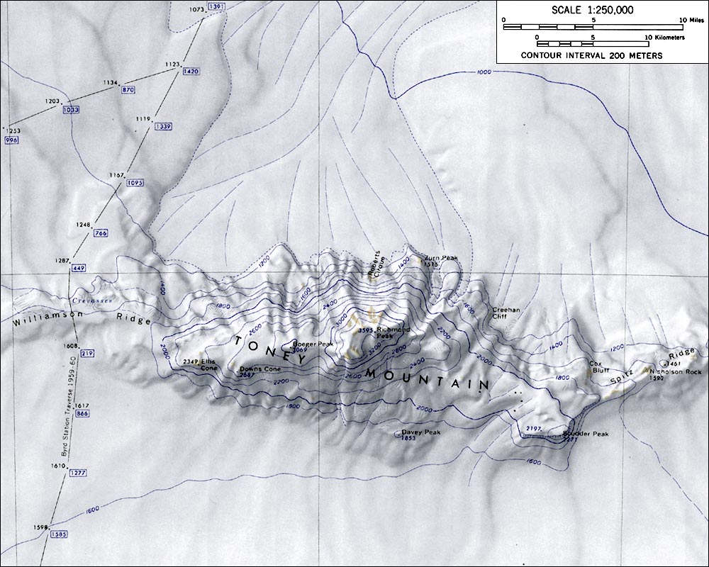 MountToneyMap.jpg 1,000 × 800; 154 KB
 Mt-Avers copy.jpg 2,858 × 1,926; 554 KB
 Mt-Carbone.jpg 1,512 × 1,288; 480 KB
 Mt-Cumming-Close.png 313 × 234; 100 KB
 Mt-Perkins.png 718 × 458; 658 KB
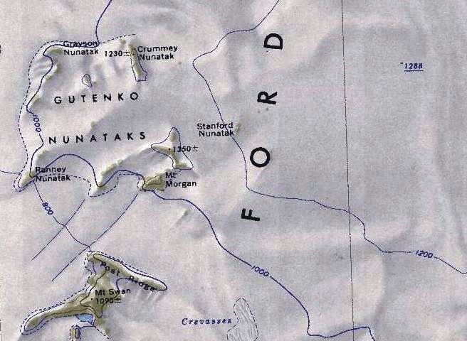 Mt-Swan-Map.jpg 656 × 480; 70 KB
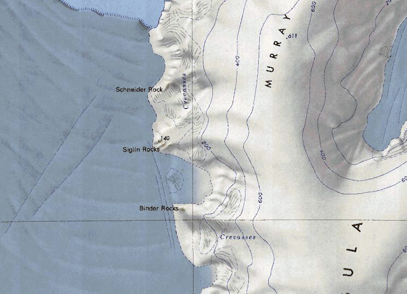
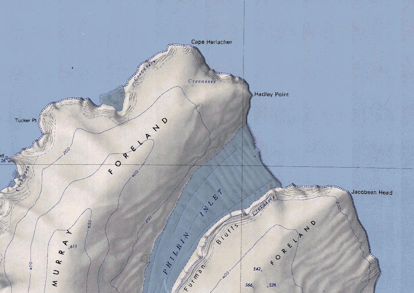 Murray Foreland.png 811 × 574; 792 KB
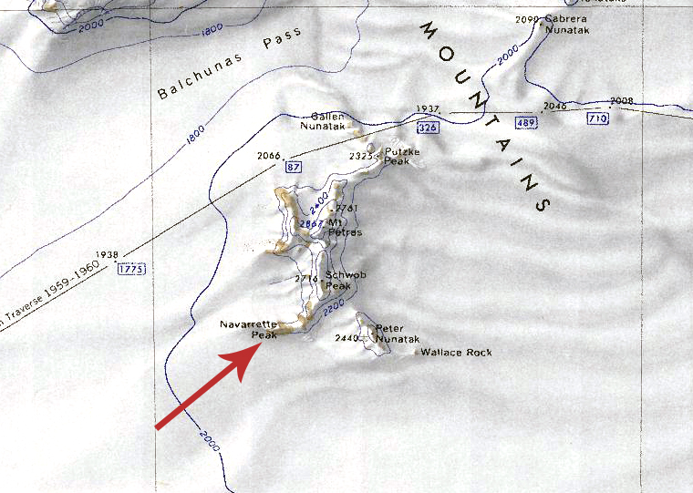 Navarette Peak.jpg 760 × 541; 352 KB
 Neptune.jpg 2,858 × 1,926; 452 KB
 Nereson Glacier.jpg 783 × 542; 272 KB
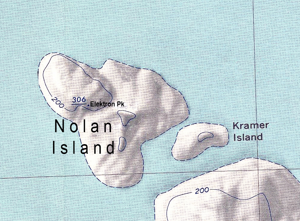 Nolan Island update.jpg 1,001 × 739; 940 KB
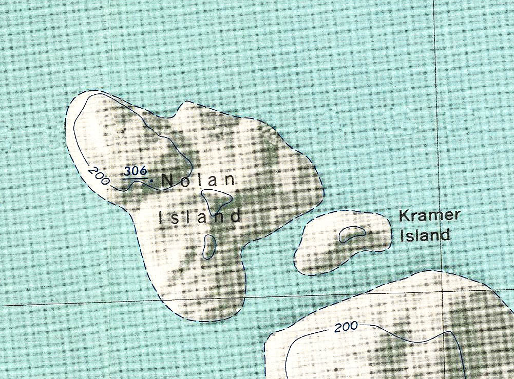 Nolan Island1.jpg 1,001 × 739; 311 KB
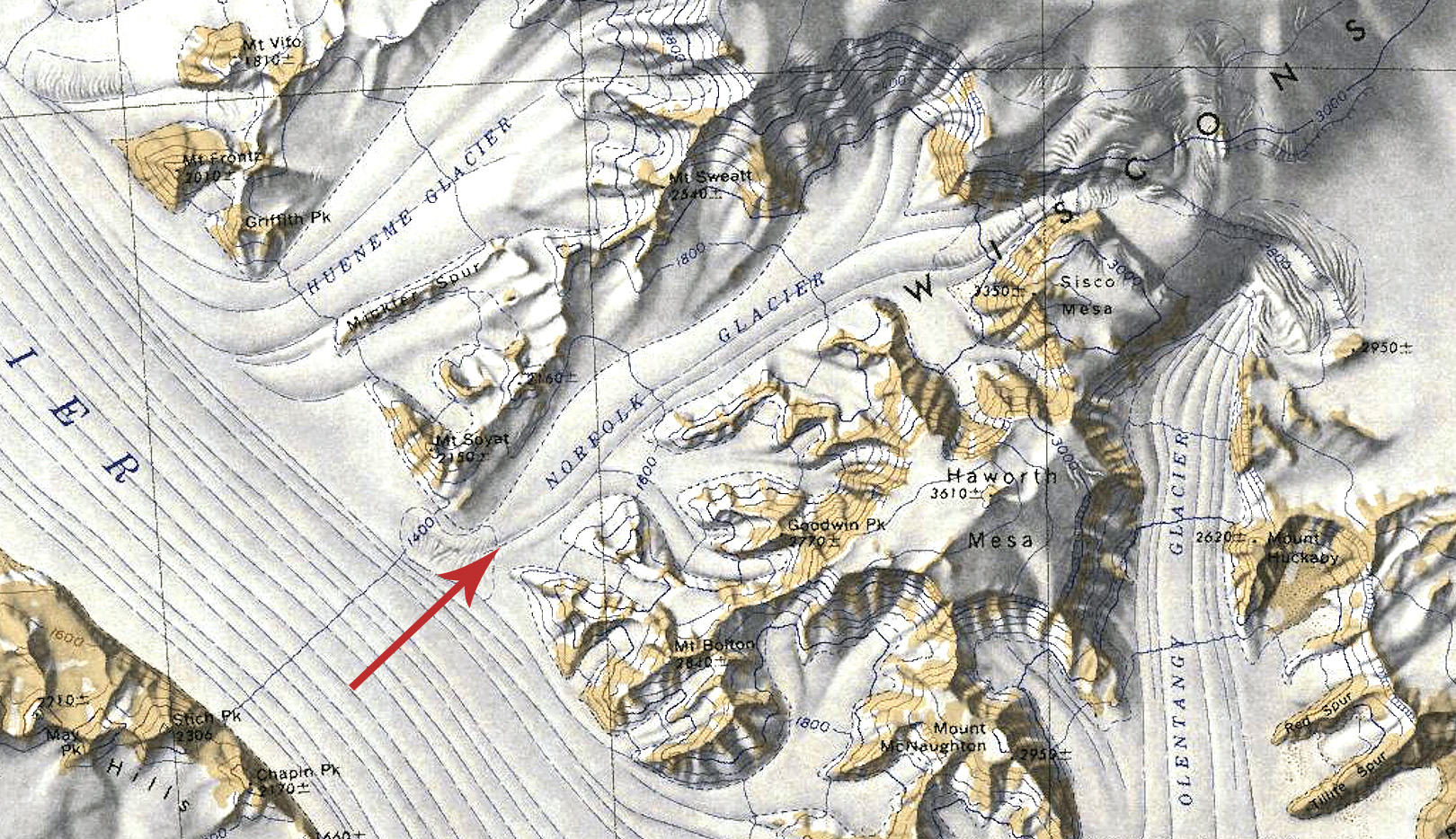 Norfolk Glacier Map.jpg 1,620 × 934; 759 KB
 Ochs-Glacier.jpg 1,370 × 930; 219 KB
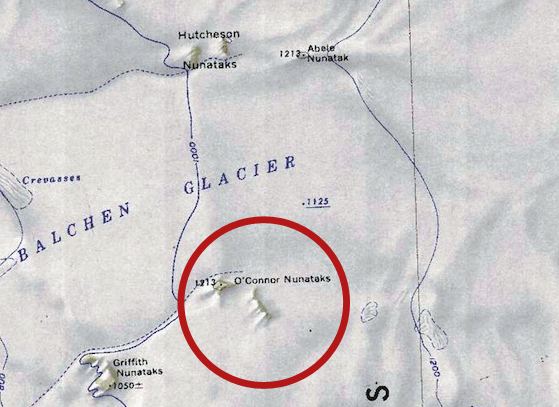 Oconner-Nun.jpg 559 × 407; 205 KB
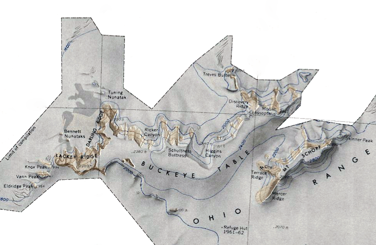 Ohio-Range.png 773 × 504; 517 KB
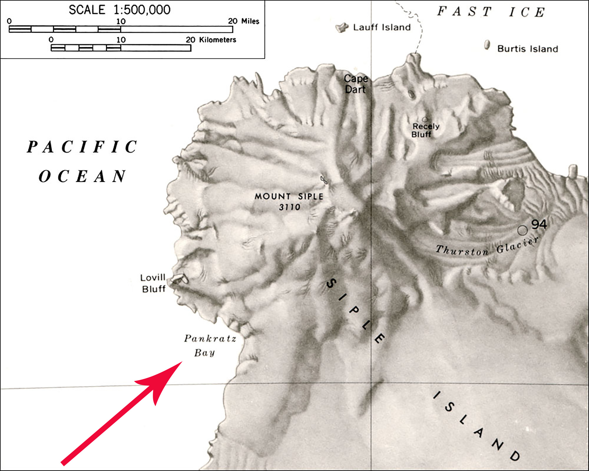 Pankratz Bay Map.jpg 2,000 × 1,600; 411 KB
 Peacock Sound-Islands.png 949 × 663; 781 KB
 Perry-Demas-Range.png 682 × 508; 738 KB
 Peter I Island Map.jpg 563 × 584; 297 KB
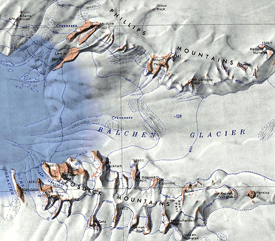
 Phillips-Mountains.png 781 × 598; 693 KB
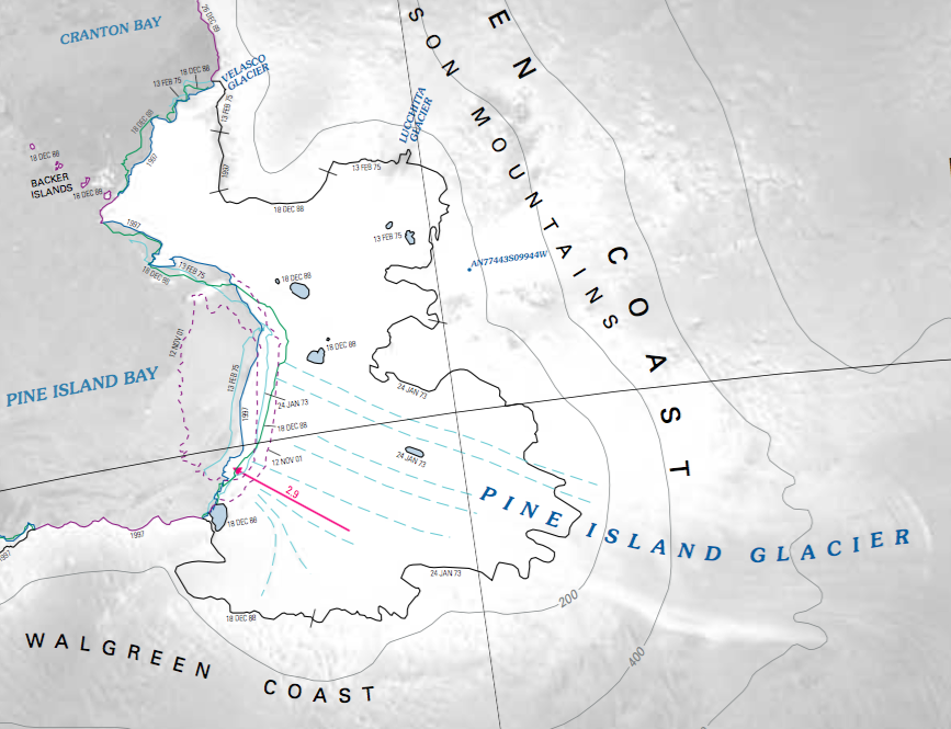 Pine Island Map.png 867 × 665; 443 KB
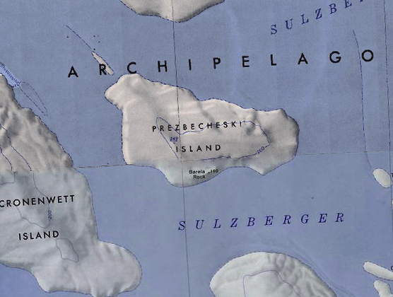 Prezbecheski Island.jpg 556 × 420; 166 KB
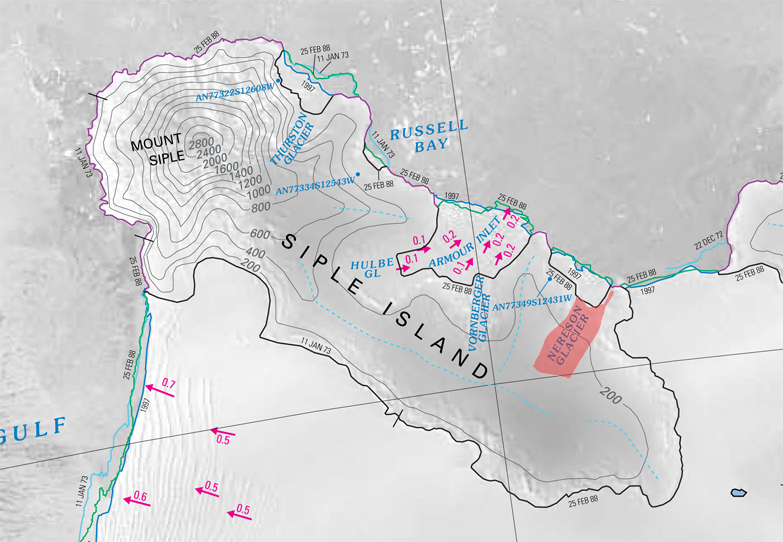
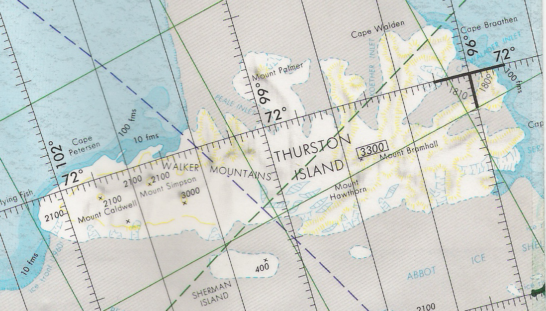 Principality Thurston.jpg 1,098 × 625; 576 KB
 QueenMaudeMountains1.png 763 × 498; 754 KB
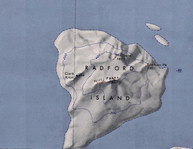 Radford-Island-Map.png 807 × 623; 779 KB
 Raymond Ice Rise.jpg 750 × 780; 147 KB
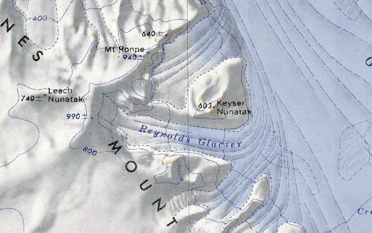 Reynolds Glacier.jpg 523 × 327; 166 KB
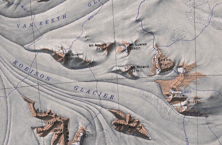
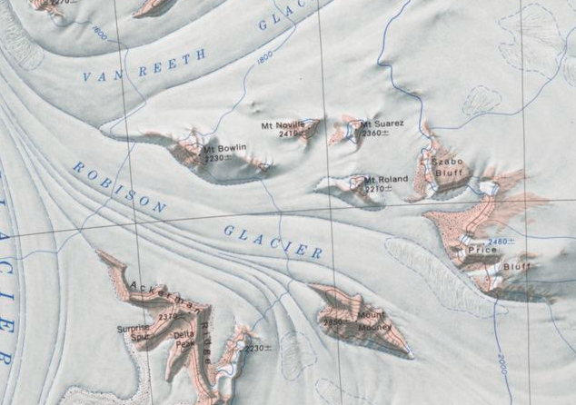 Robison Glacier.png 634 × 446; 481 KB
 Savage Nunatak.jpg 1,806 × 1,286; 648 KB
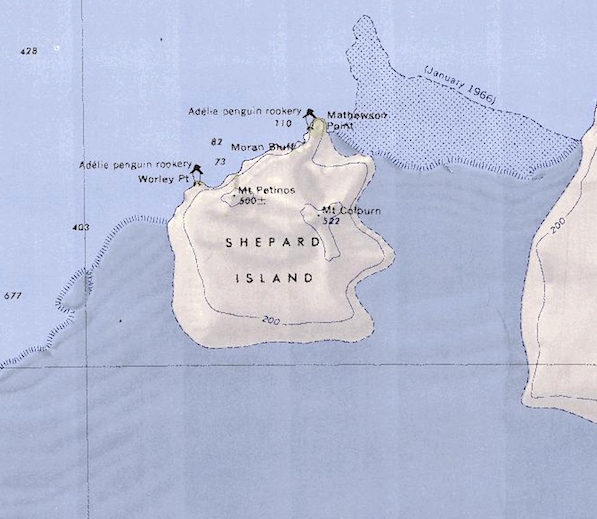 Shepard Island Map.png 597 × 519; 515 KB
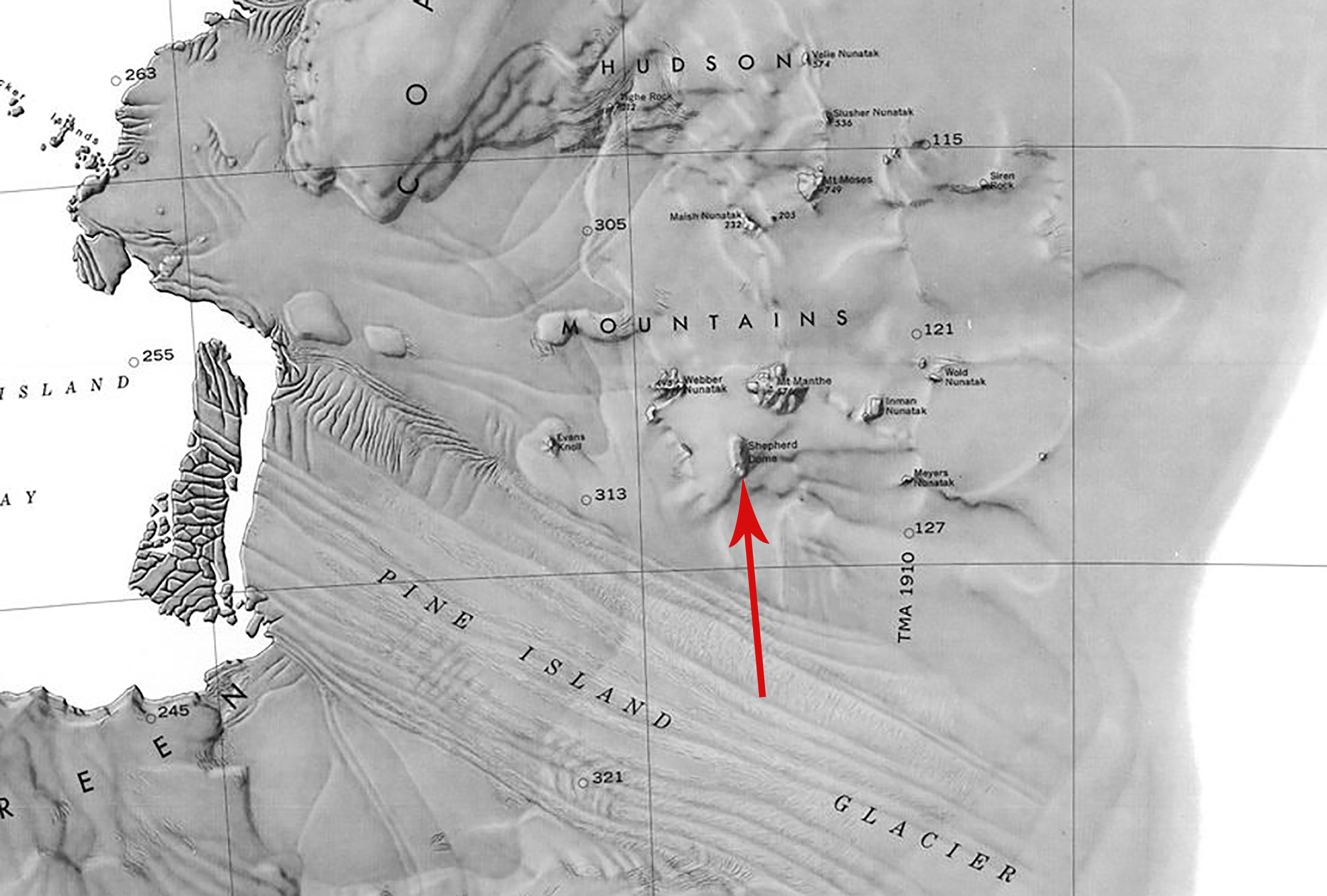 Shepherd Dome.jpg 2,583 × 1,746; 932 KB
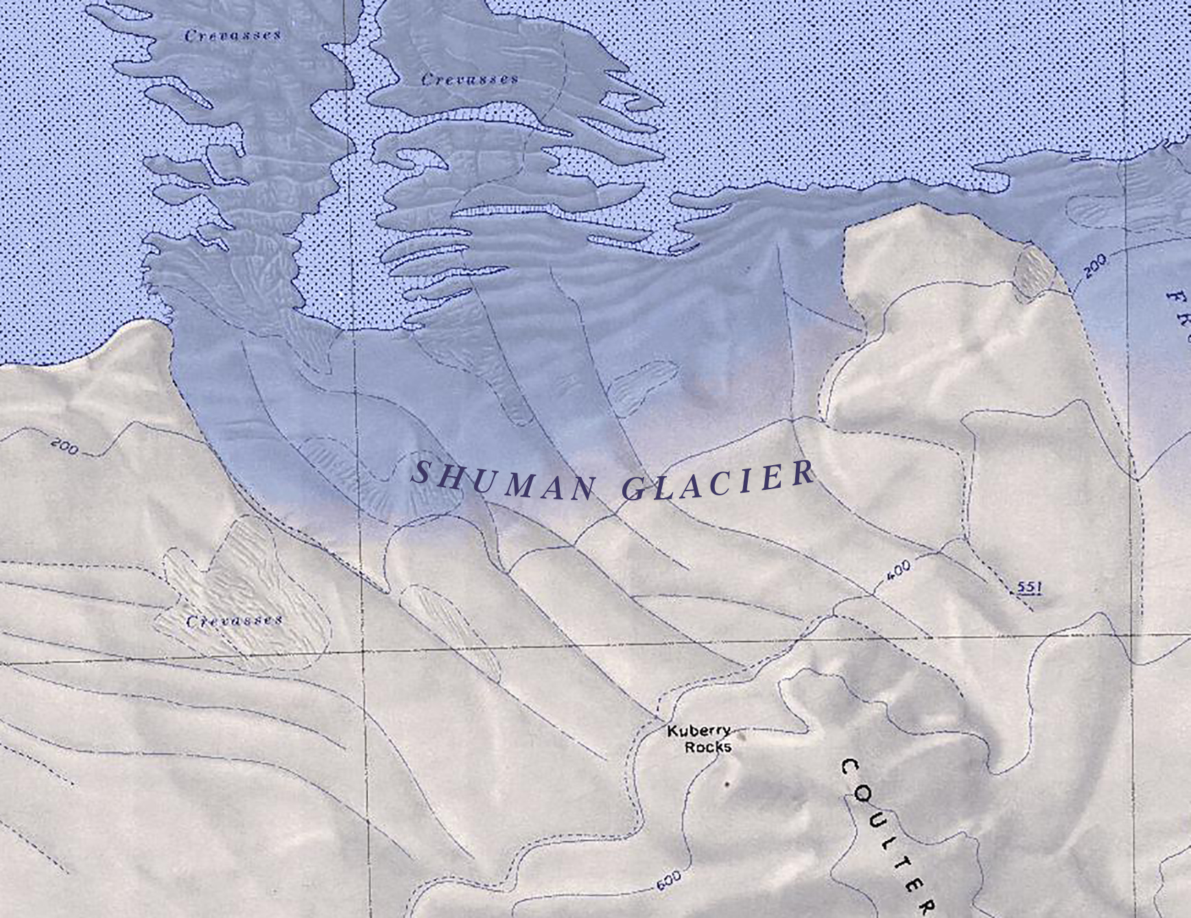 Shuman Glacier.jpg 1,736 × 1,338; 817 KB
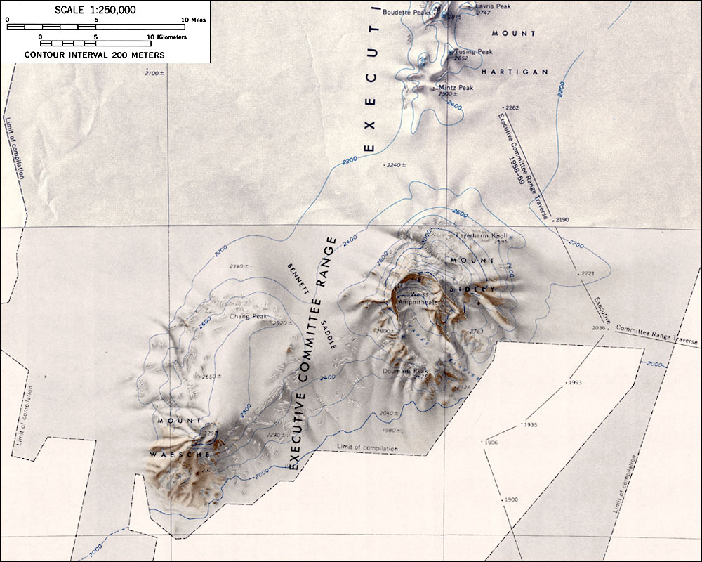 SidleyWaescheMap.jpg 1,000 × 800; 181 KB
 Siemi Glacier.jpg 621 × 450; 185 KB
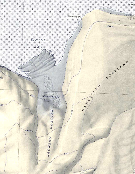
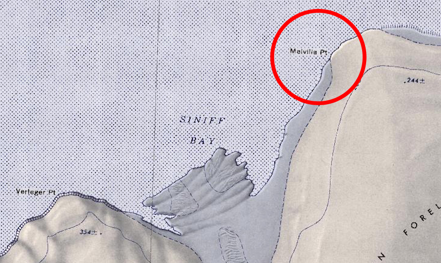
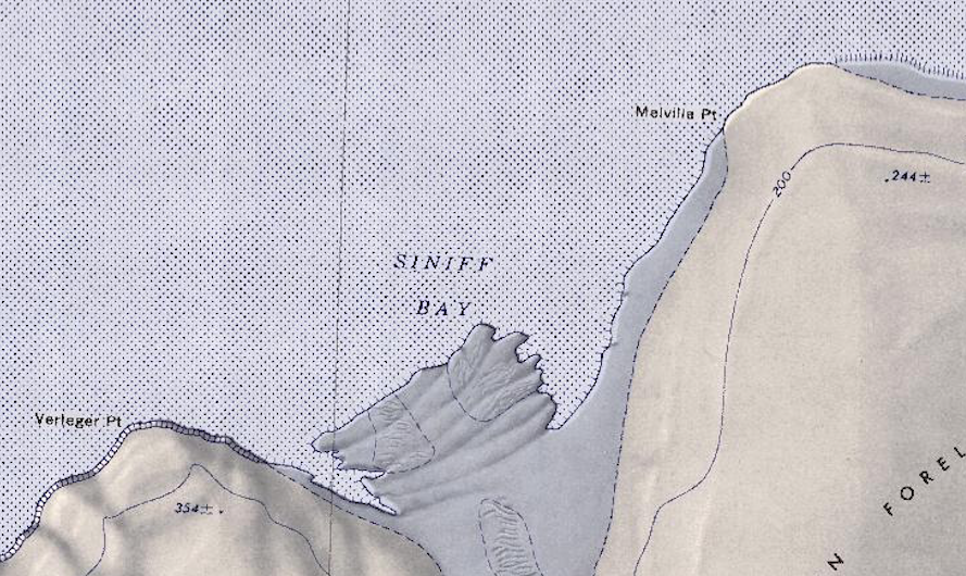 Siniff Bay.png 889 × 530; 955 KB
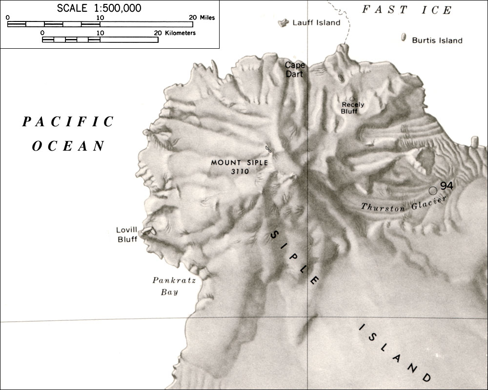 Siple Map.jpg 1,000 × 800; 121 KB
 Siple War - Map.png 537 × 574; 85 KB
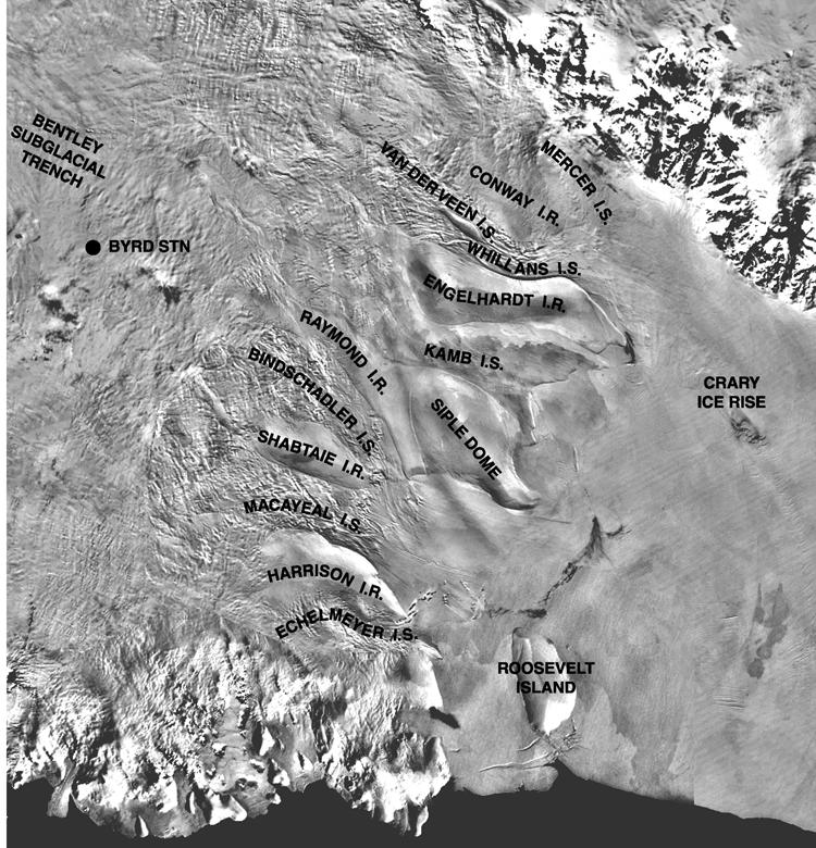
 Siple-Coast.jpg 1,433 × 1,116; 862 KB
 Sisco Mesa.jpg 635 × 565; 197 KB
 Slater-Rocks.jpg 720 × 492; 320 KB


