Difference between revisions of "File:Shepard Island Map.png"
Jump to navigation
Jump to search
Westarctica (talk | contribs) |
(No difference)
|
Latest revision as of 06:48, 18 April 2018
Map of Shepard Island showing Western edge of Grant Island.
File history
Click on a date/time to view the file as it appeared at that time.
| Date/Time | Thumbnail | Dimensions | User | Comment | |
|---|---|---|---|---|---|
| current | 06:48, 18 April 2018 | 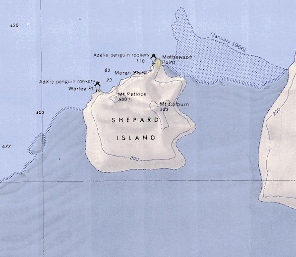 | 597 × 519 (515 KB) | Westarctica (talk | contribs) |
You cannot overwrite this file.
File usage
The following page uses this file: