Difference between revisions of "File:King Edward VII Land map.png"
Jump to navigation
Jump to search
Westarctica (talk | contribs) |
(No difference)
|
Latest revision as of 04:04, 1 May 2018
Description English: Location map of King Edward VII Land in the Ross Dependency Date 4 August 2011 (original upload date) Source Generated from File:Antarctica,_territorial_claims.svg by User:Grutness) Author The original uploader was Grutness at English Wikipedia
File history
Click on a date/time to view the file as it appeared at that time.
| Date/Time | Thumbnail | Dimensions | User | Comment | |
|---|---|---|---|---|---|
| current | 04:04, 1 May 2018 | 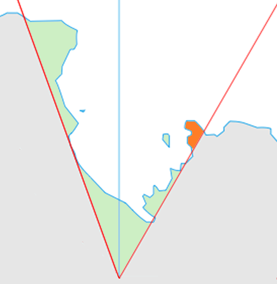 | 562 × 575 (46 KB) | Westarctica (talk | contribs) |
You cannot overwrite this file.
File usage
The following page uses this file: