File:Brandenberger-Map.png
Revision as of 15:41, 22 December 2018 by Westarctica (talk | contribs)
No higher resolution available.
Brandenberger-Map.png (698 × 481 pixels, file size: 667 KB, MIME type: image/png)
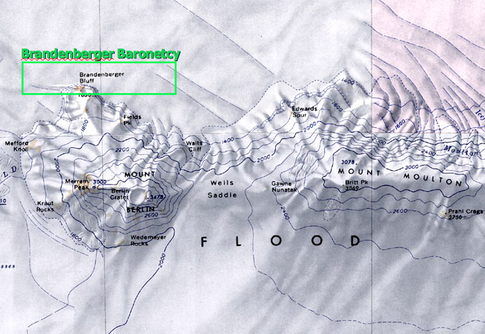
2005 land distribution map issued by the Government of Westarctica showing the location of the Brandenberger Baronetcy encompassing Brandenberger Bluff on the north side of Mount Berlin.
File history
Click on a date/time to view the file as it appeared at that time.
| Date/Time | Thumbnail | Dimensions | User | Comment | |
|---|---|---|---|---|---|
| current | 15:41, 22 December 2018 | | 698 × 481 (667 KB) | Westarctica (talk | contribs) |
You cannot overwrite this file.
File usage
The following page uses this file: