File:Carney-Island-Map.jpg
Revision as of 09:49, 22 April 2020 by Westarctica (talk | contribs)
Size of this preview: 678 × 600 pixels. Other resolution: 1,798 × 1,590 pixels.
Original file (1,798 × 1,590 pixels, file size: 597 KB, MIME type: image/jpeg)
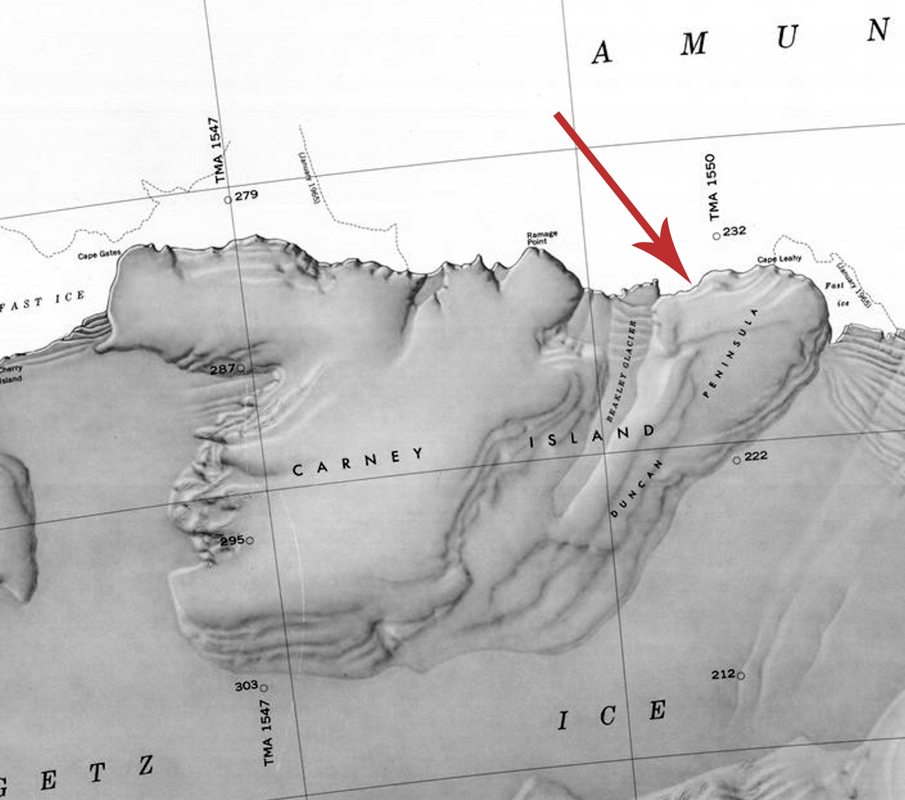
Map of Carney Island, Antarctica, showing the location of the Duncan Peninsula.
File history
Click on a date/time to view the file as it appeared at that time.
| Date/Time | Thumbnail | Dimensions | User | Comment | |
|---|---|---|---|---|---|
| current | 09:49, 22 April 2020 | | 1,798 × 1,590 (597 KB) | Westarctica (talk | contribs) |
You cannot overwrite this file.
File usage
The following page uses this file: