File:Icesheet-Map.jpg
Revision as of 06:04, 9 April 2018 by Westarctica (talk | contribs)
No higher resolution available.
Icesheet-Map.jpg (393 × 335 pixels, file size: 52 KB, MIME type: image/jpeg)
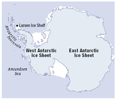
Map of Antarctica showing the West and East Antarctic Ice Sheets.
Source: https://wattsupwiththat.files.wordpress.com/2013/09/icesheets1.jpg?w=720
File history
Click on a date/time to view the file as it appeared at that time.
| Date/Time | Thumbnail | Dimensions | User | Comment | |
|---|---|---|---|---|---|
| current | 06:04, 9 April 2018 | | 393 × 335 (52 KB) | Westarctica (talk | contribs) |
You cannot overwrite this file.
File usage
The following page uses this file: