Category:Maps
Revision as of 07:27, 10 April 2018 by Westarctica (talk | contribs) (Created page with "Category:Images")
Media in category "Maps"
The following 200 files are in this category, out of 247 total.
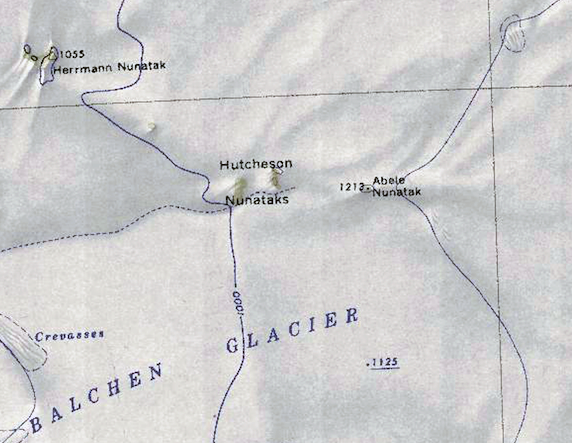
(previous page) (next page)- Abele-Nunatak.png 572 × 443; 466 KB
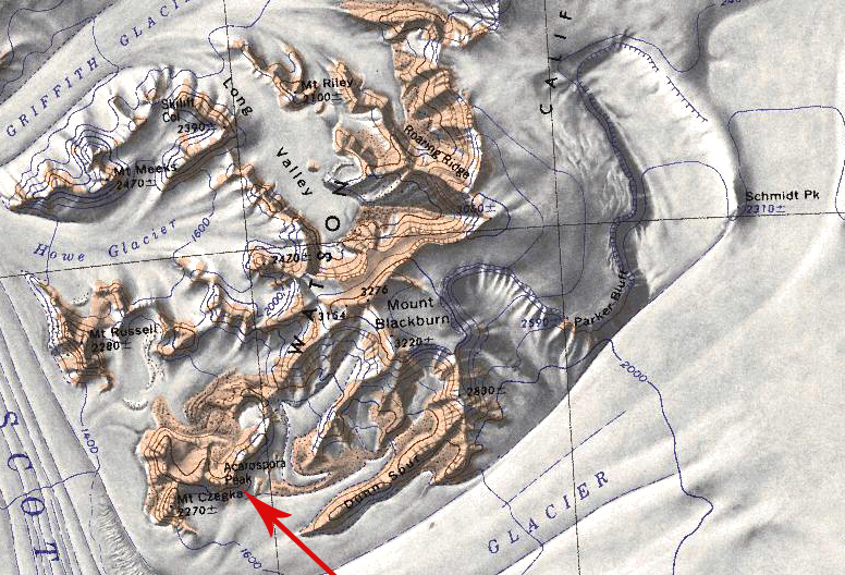
- Acarospora Peak.jpg 776 × 528; 254 KB
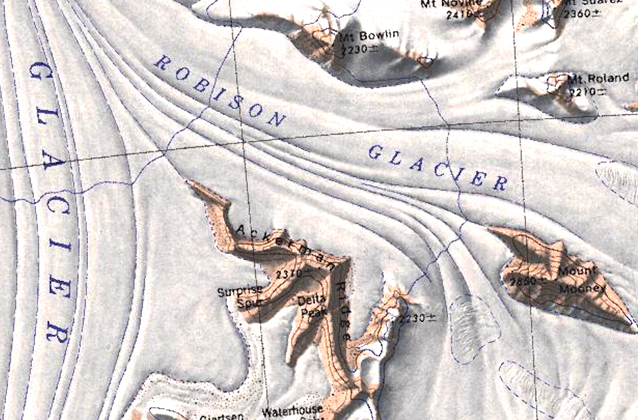
- Ackerman Ridge.jpg 922 × 608; 485 KB
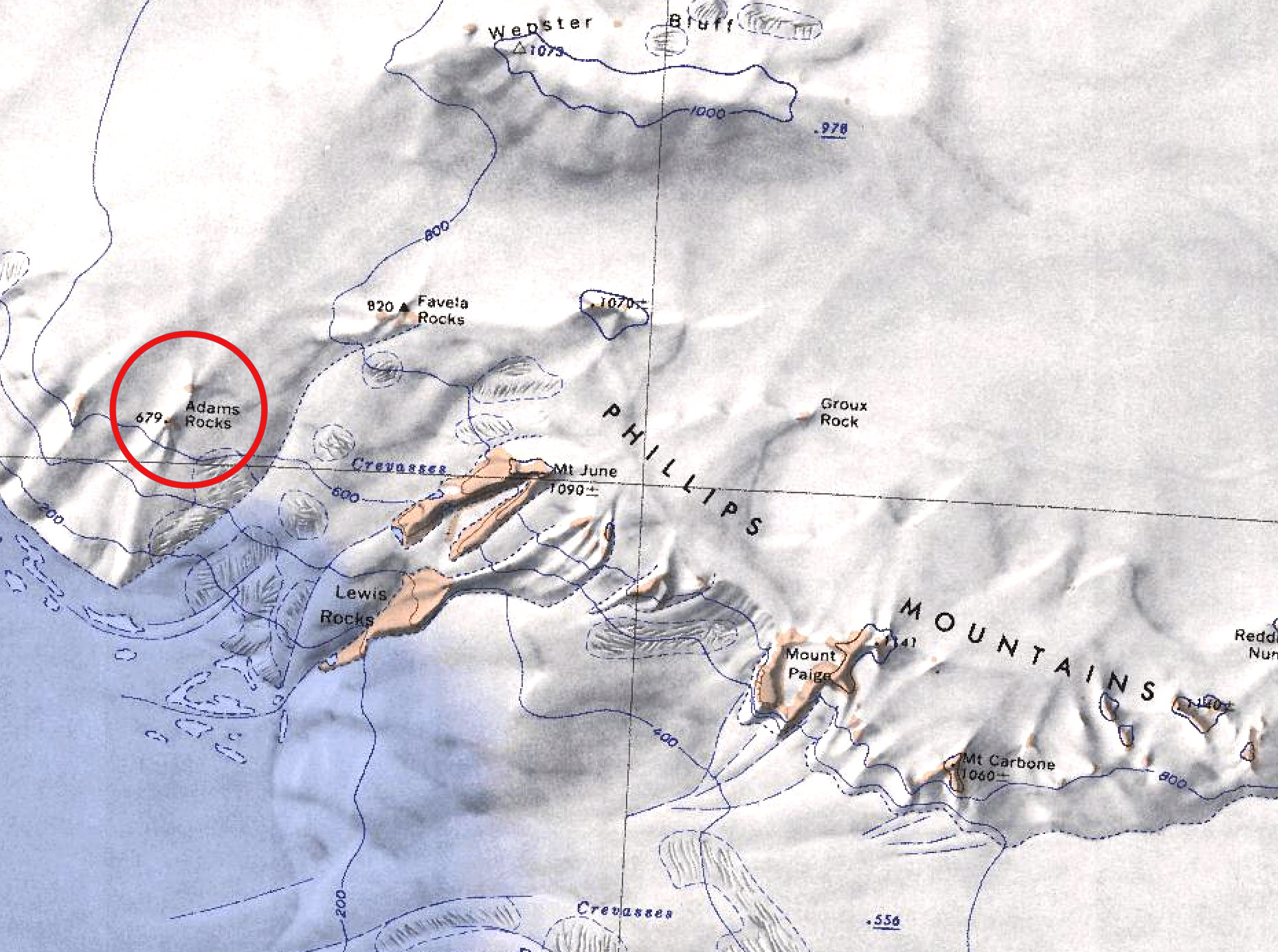
- Adams Rocks.jpg 1,860 × 1,386; 557 KB
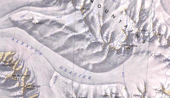
- Albanus Glacier.jpg 713 × 414; 161 KB
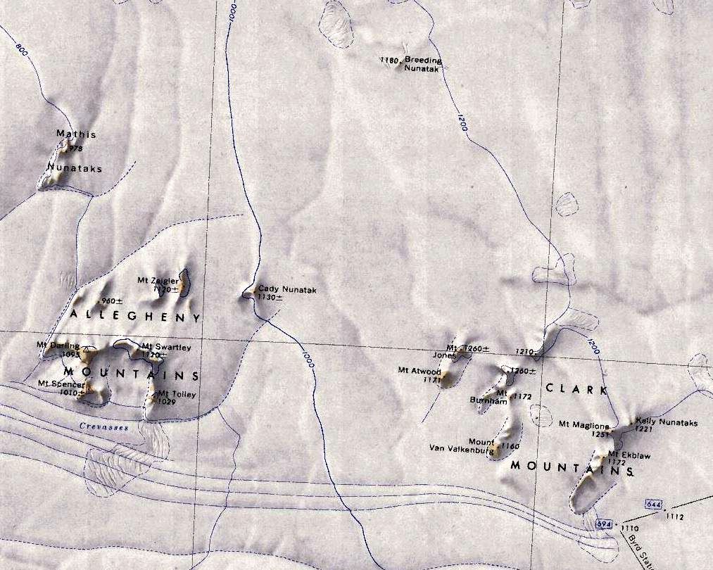
- Allegheny-Clark-Mts.jpg 1,013 × 810; 179 KB
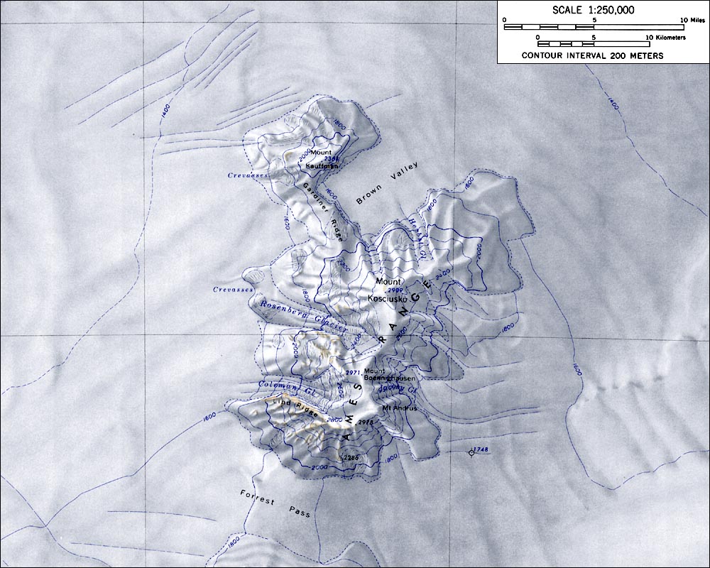
- AmesRangeMap.jpg 1,000 × 800; 165 KB
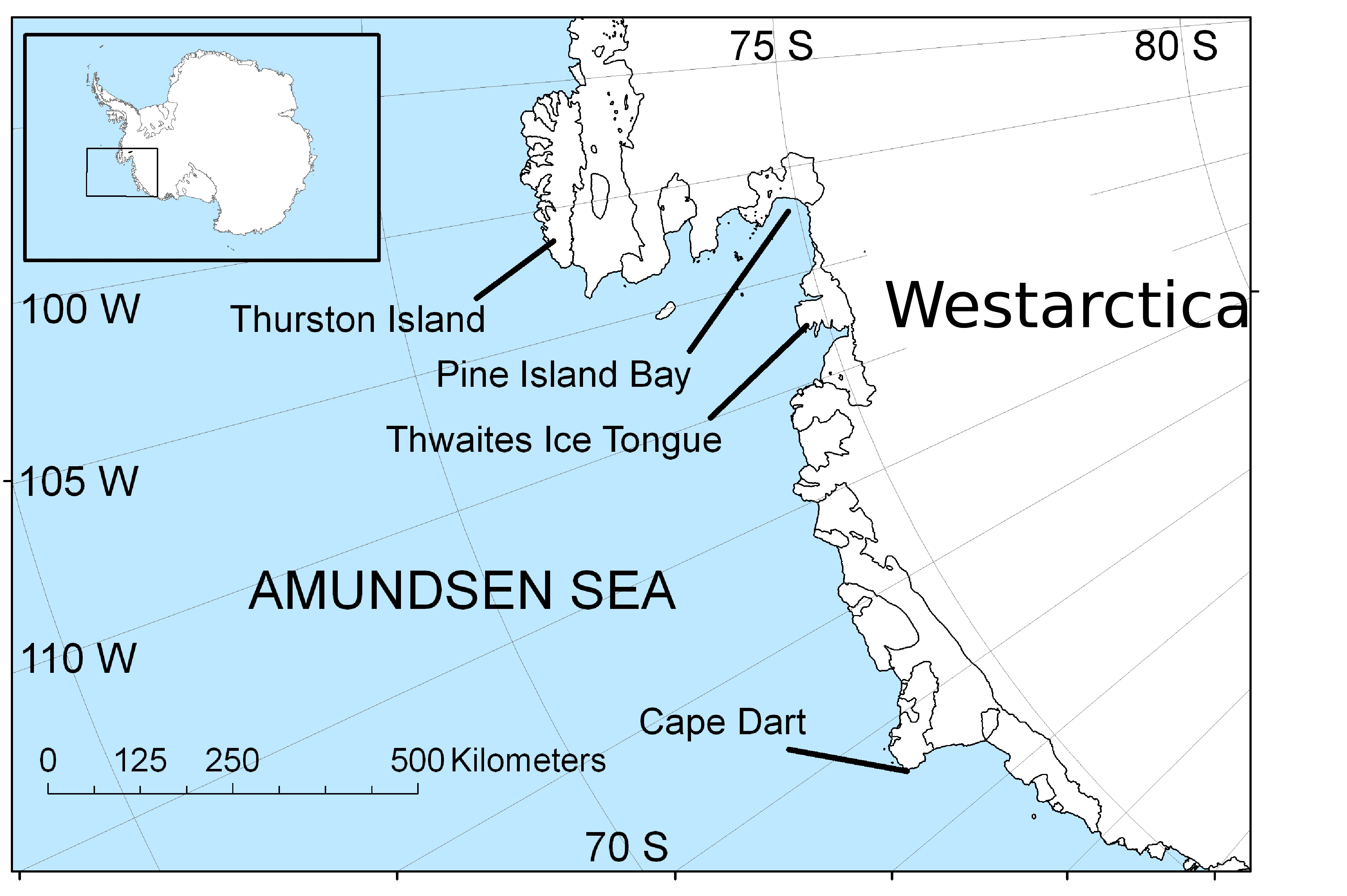
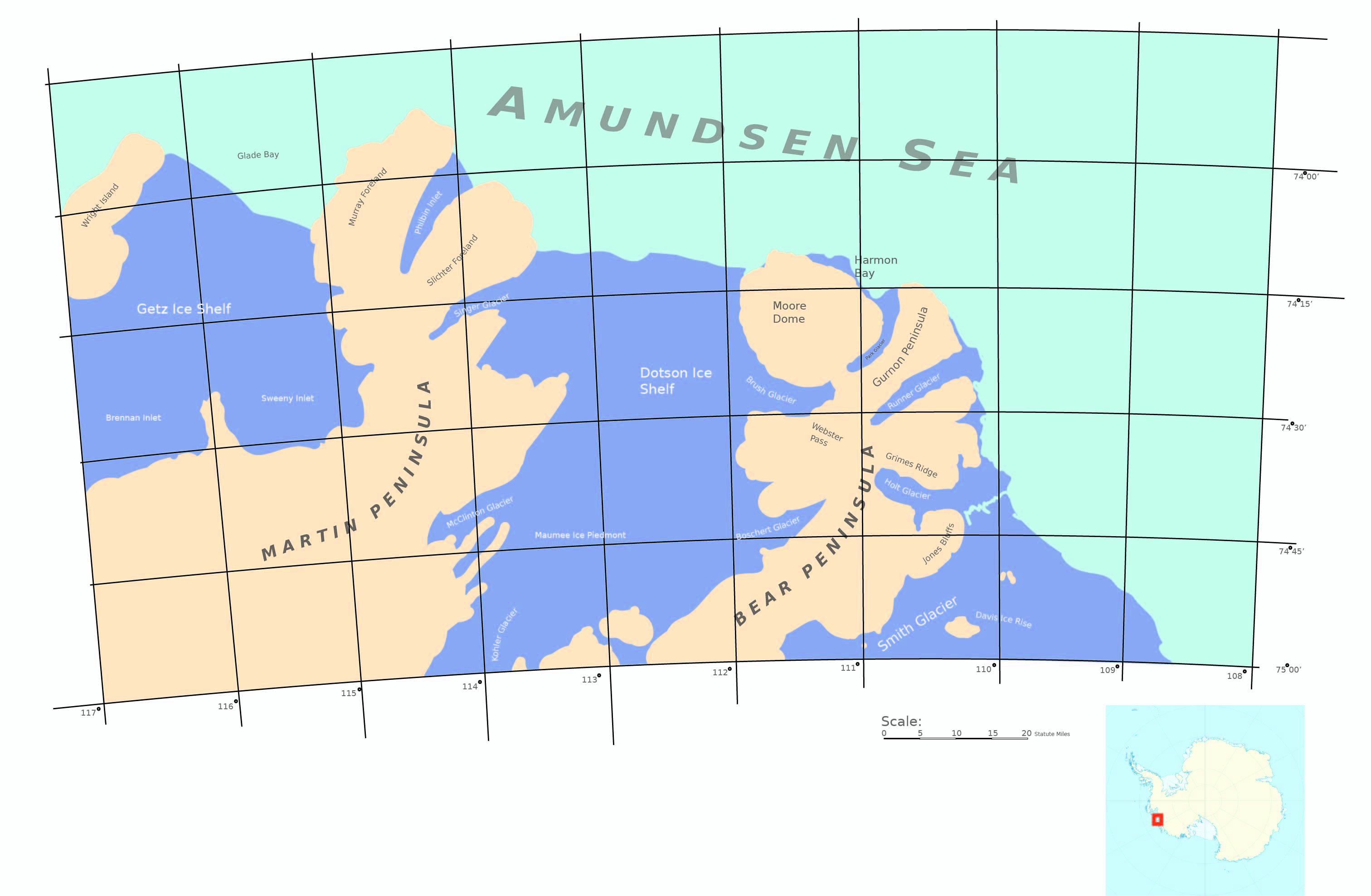
- AmundsenSea-map.jpg 3,729 × 2,481; 1.4 MB
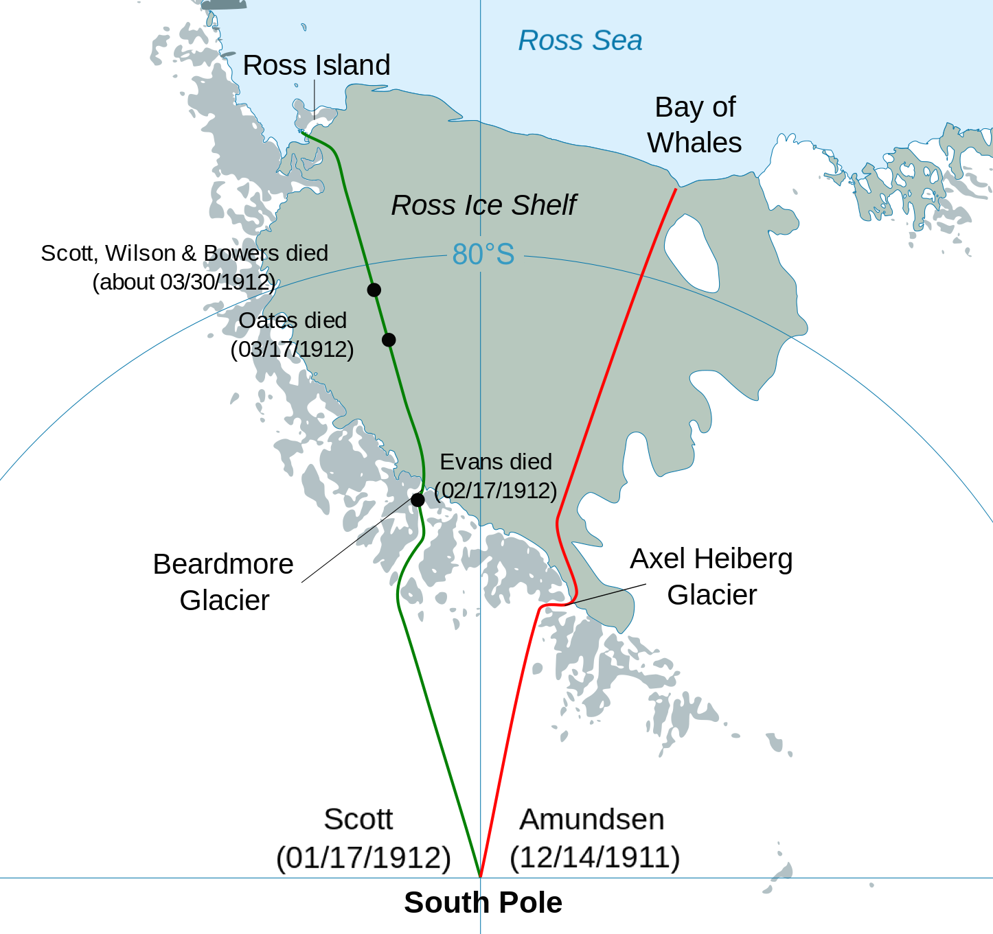
- Antarctic expedition map.png 1,446 × 1,361; 361 KB
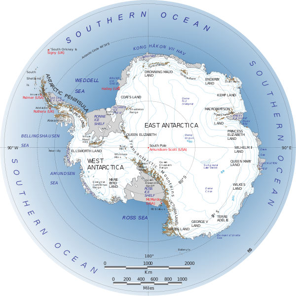
- Antarctica.svg.png 600 × 599; 272 KB
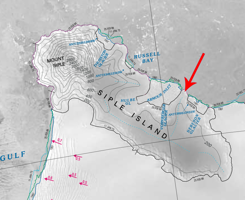
- Armour-Peninsula.jpg 849 × 695; 198 KB
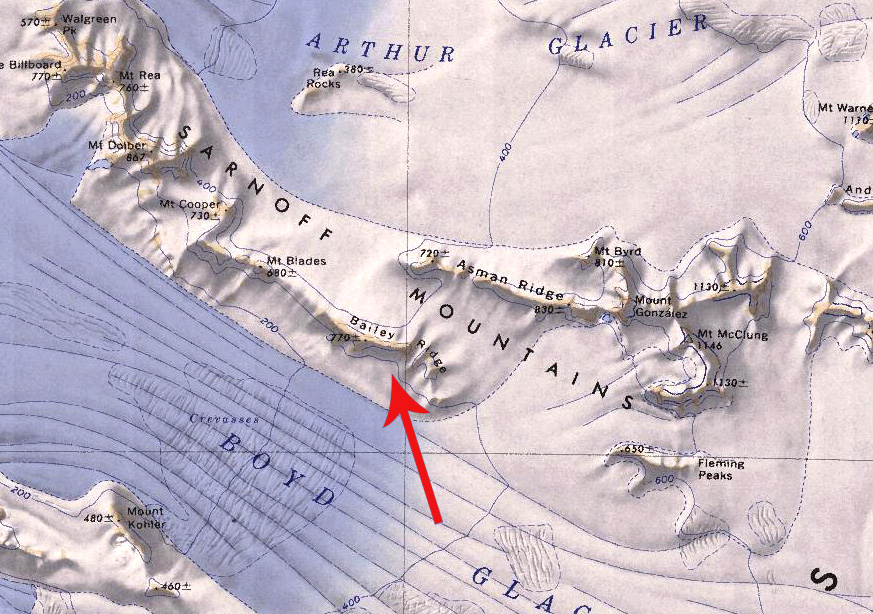
- Bailey Ridge.jpg 873 × 614; 289 KB
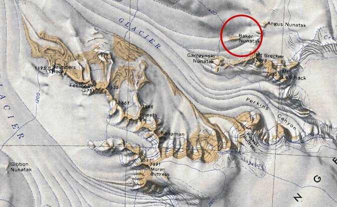
- Baker-Barony.jpg 672 × 413; 288 KB
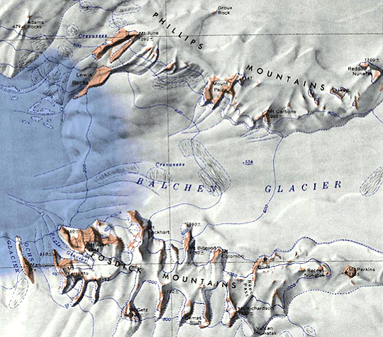
- Balchen-Glacier.jpg 540 × 475; 349 KB
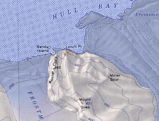
- Bandy Island.jpg 509 × 388; 209 KB
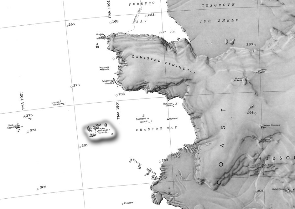
- Barony Brownson.jpg 942 × 668; 231 KB
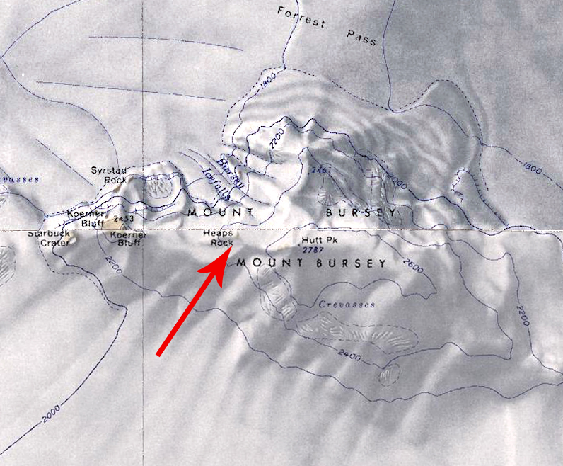
- Barony of Heaps.jpg 796 × 658; 409 KB
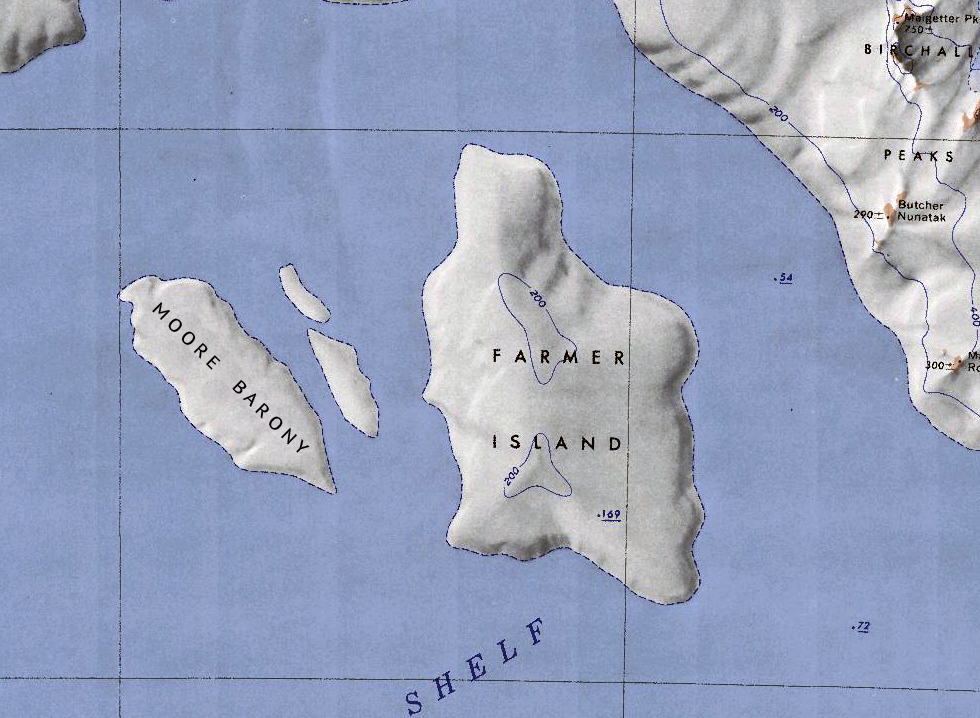
- Barony of Moore.jpg 980 × 718; 531 KB
- Bear and martin peninsulas.jpg 3,024 × 1,977; 830 KB
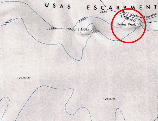
- Benes-Peak.jpg 525 × 402; 172 KB
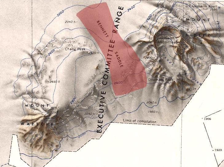
- Bennett Saddle.jpg 729 × 546; 350 KB
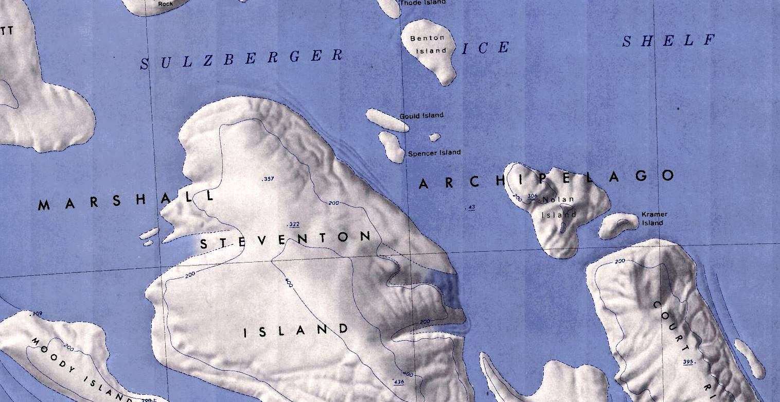
- Benton-Island-Map.jpg 1,516 × 781; 219 KB
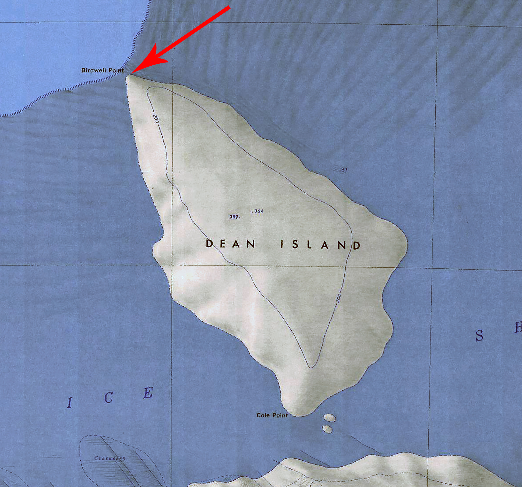
- Birdwell-Point.jpg 1,772 × 1,653; 954 KB
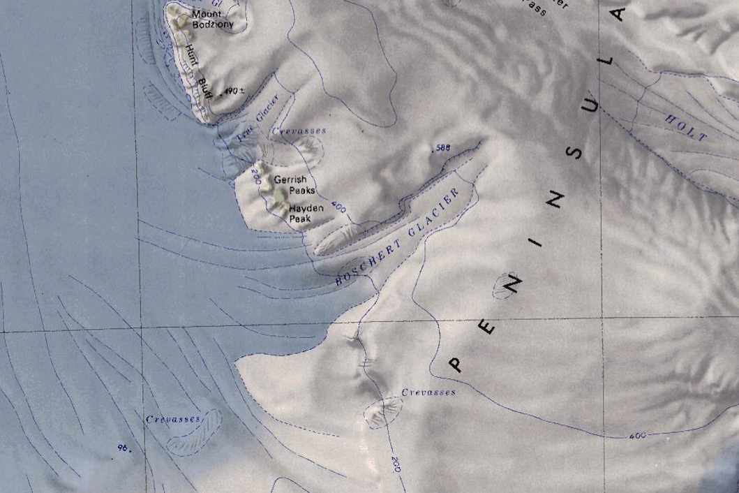
- Boschert Glacier.png 1,059 × 706; 1.23 MB
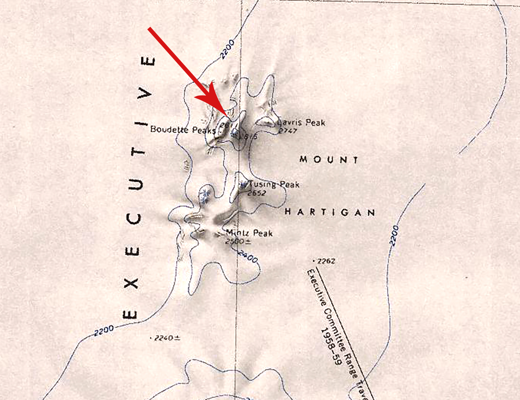
- Boudette Peaks.jpg 1,695 × 1,303; 973 KB
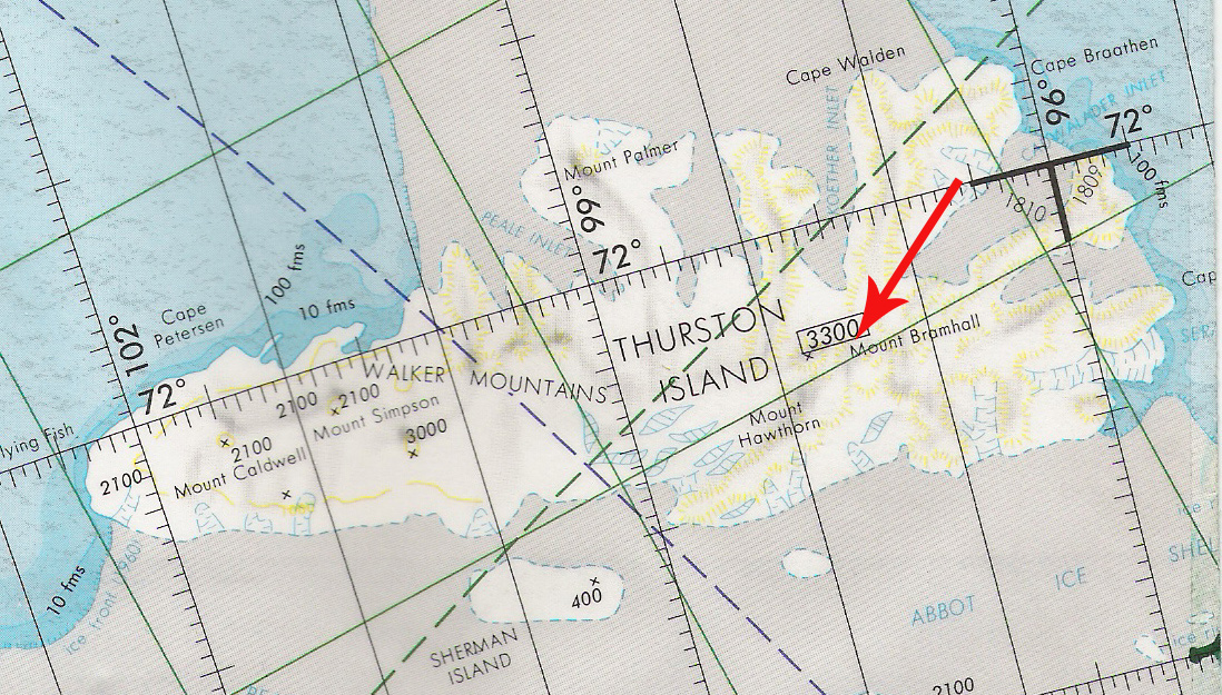
- Bramhall.jpg 1,098 × 625; 465 KB
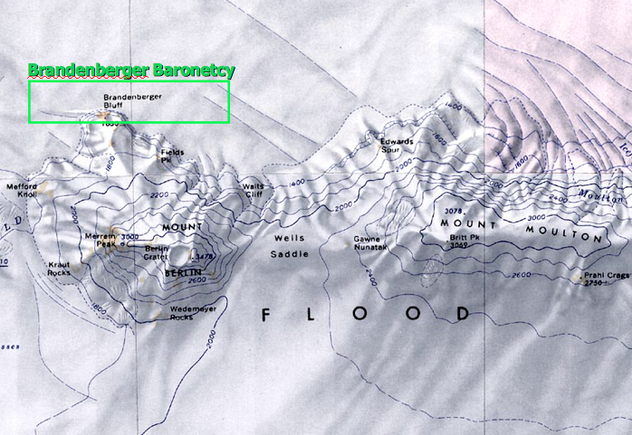
- Brandenberger-Map.png 698 × 481; 667 KB
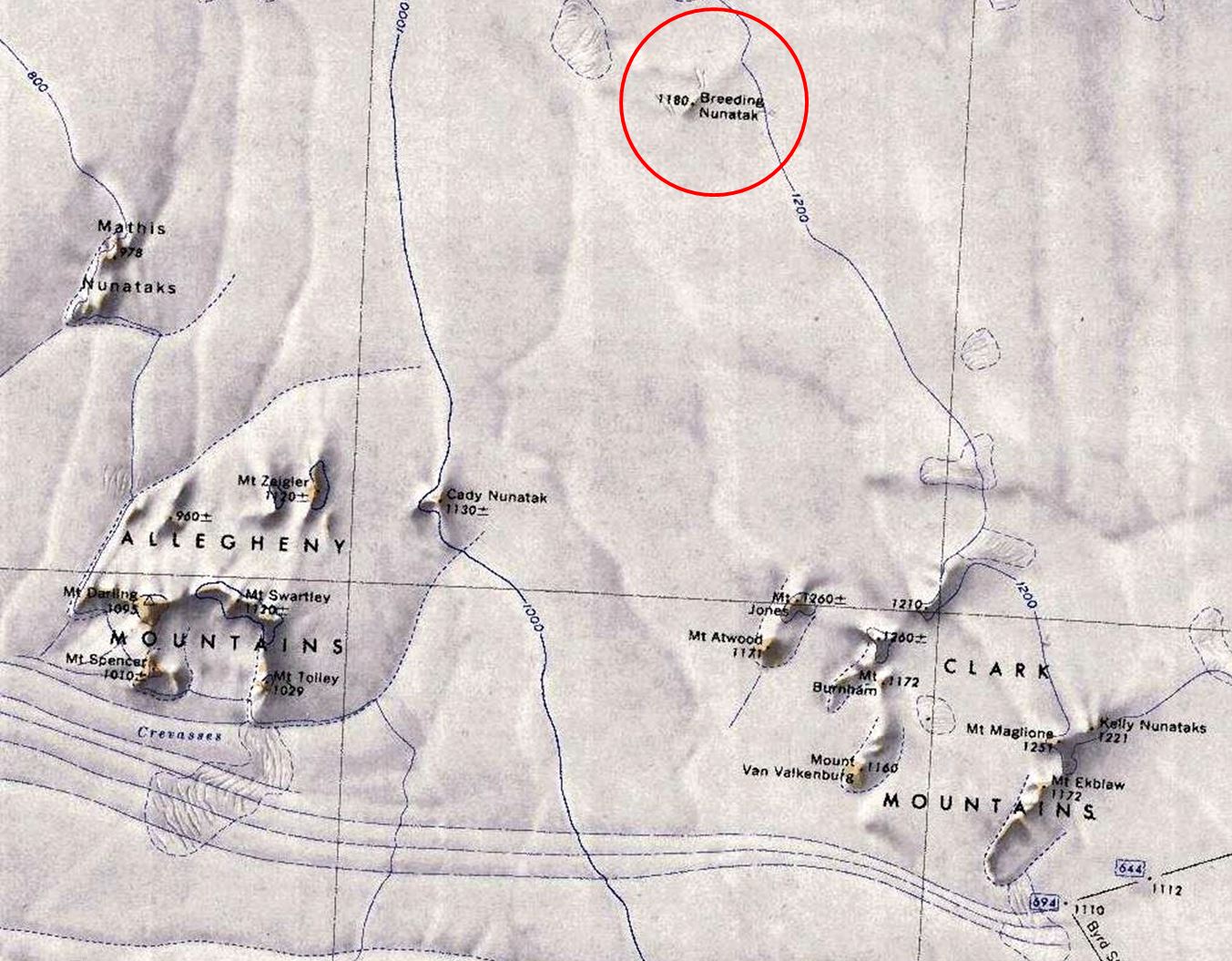
- Breeding-Nunatak.jpg 1,353 × 1,055; 264 KB
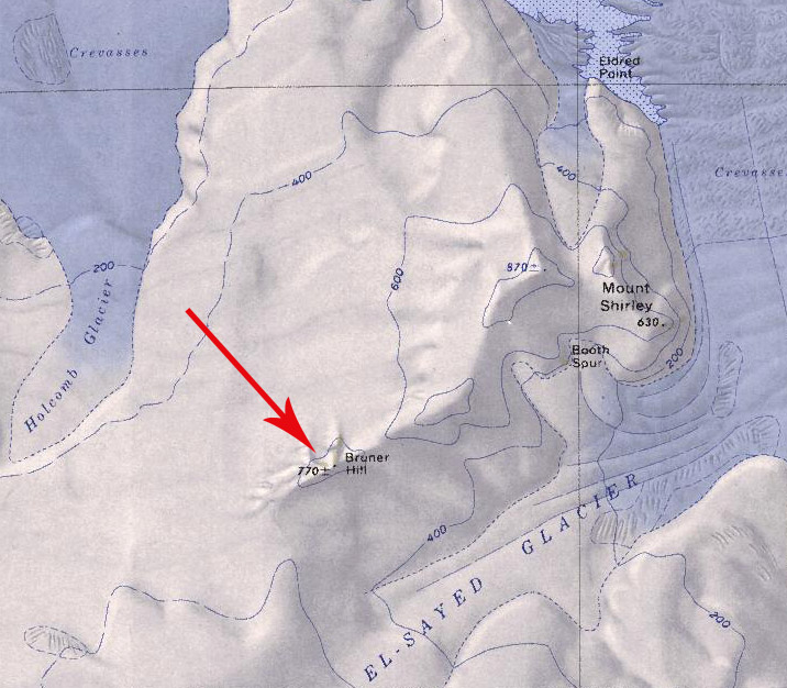
- Bruner Hill.jpg 716 × 626; 150 KB
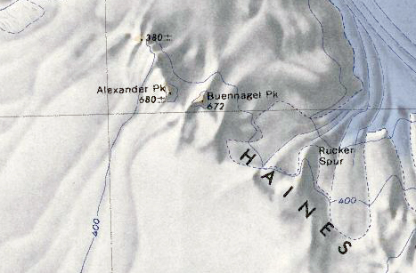
- Buennagel Peak.png 467 × 307; 280 KB
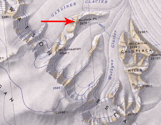
- Burlock Peak.jpg 566 × 440; 143 KB
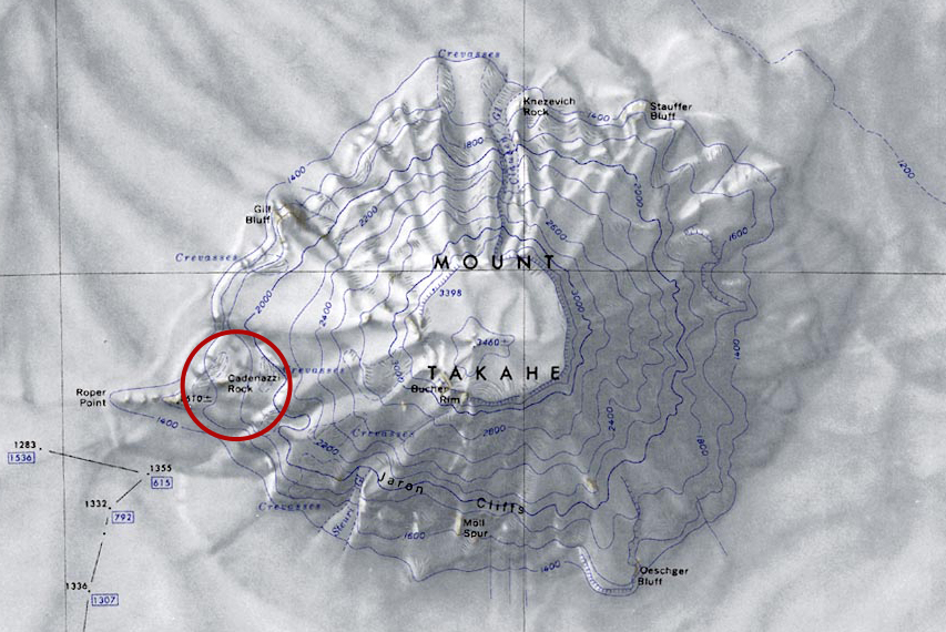
- Cadenazzi-Map.jpg 853 × 570; 365 KB
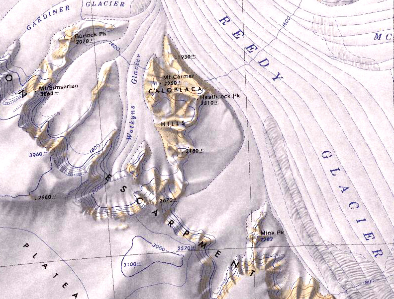
- Caloplaca-Hills.jpg 792 × 603; 275 KB
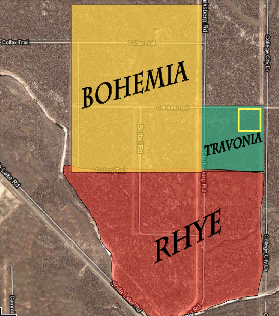
- Calsahara-Three-Kingdoms.png 546 × 619; 752 KB
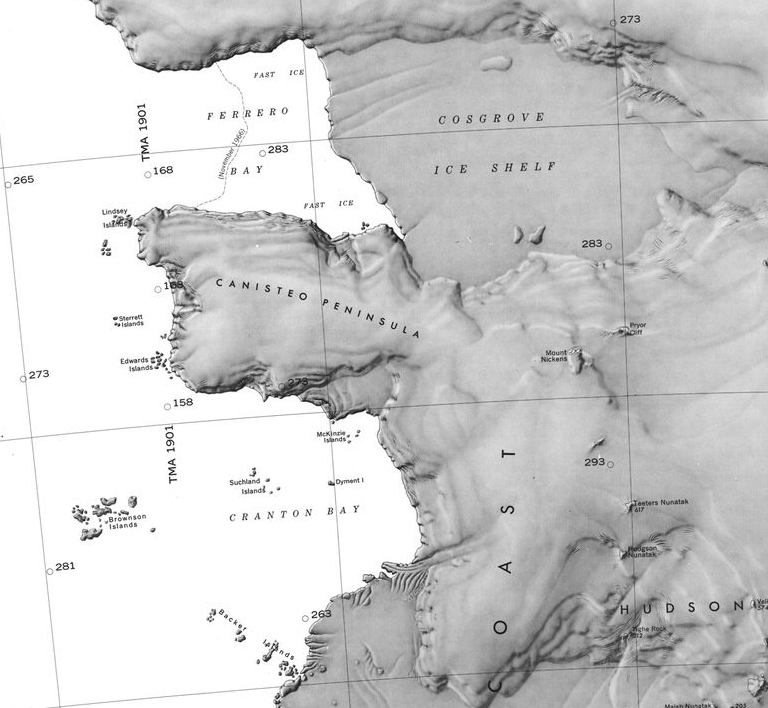
- Canisteo County1.jpg 768 × 708; 248 KB
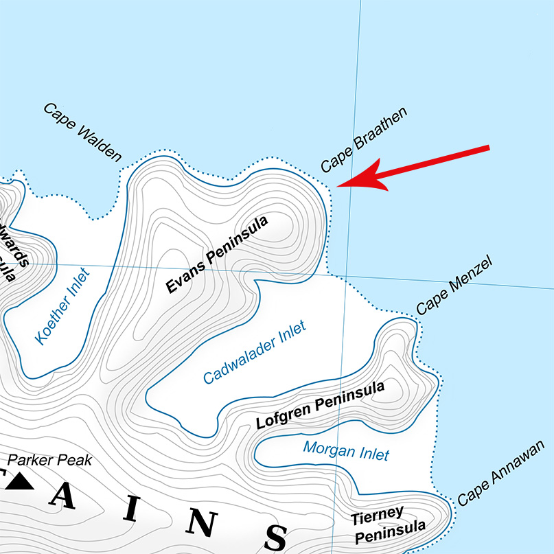
- Cape Braathen.jpg 807 × 807; 194 KB
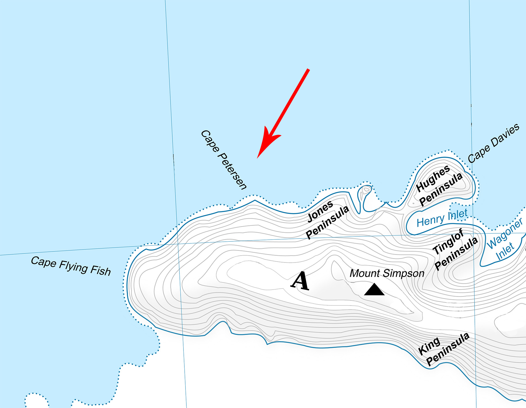
- Cape Petersen.jpg 1,829 × 1,418; 330 KB
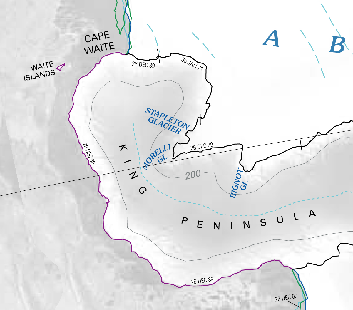
- Cape Waite.jpg 1,201 × 1,055; 379 KB
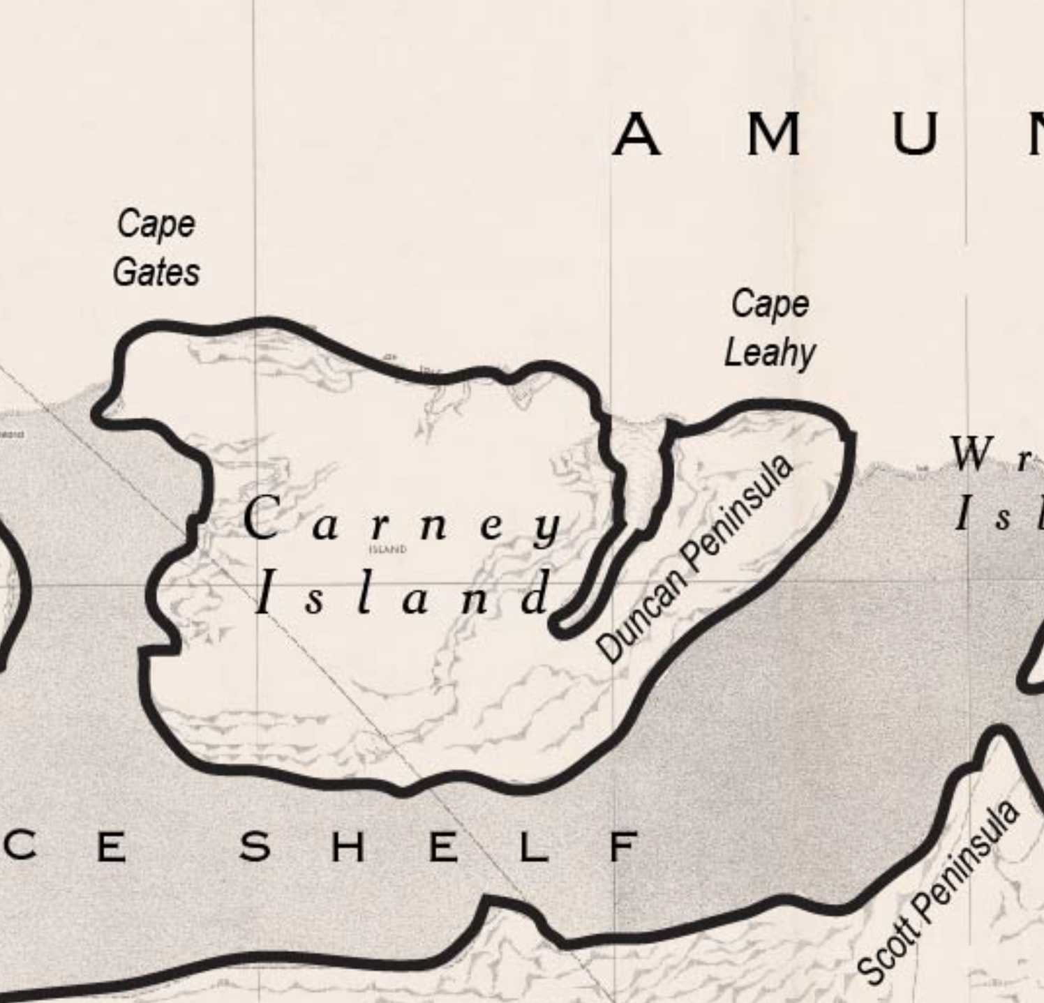
- Carney Island Map.png 1,496 × 1,438; 1.91 MB
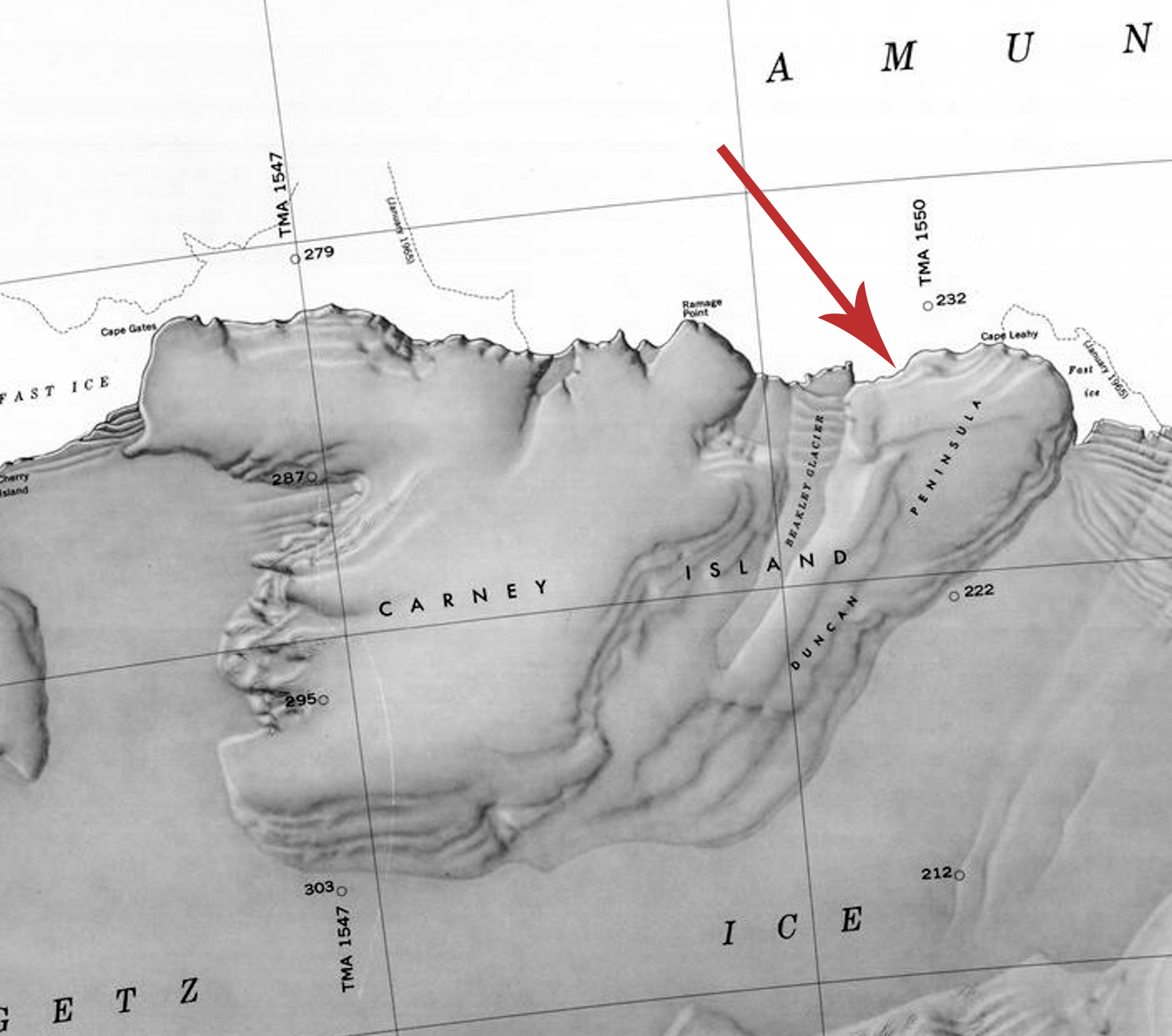
- Carney-Island-Map.jpg 1,798 × 1,590; 597 KB
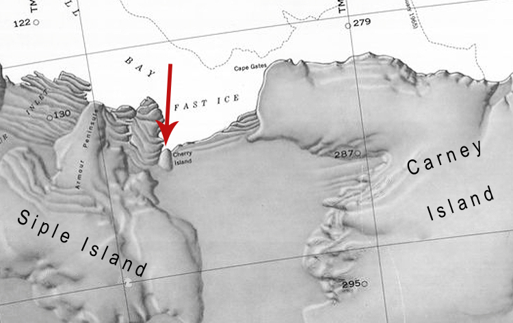
- Cherry-Island.jpg 750 × 472; 181 KB
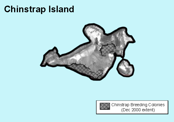
- Chinstrap Map.jpg 581 × 409; 91 KB
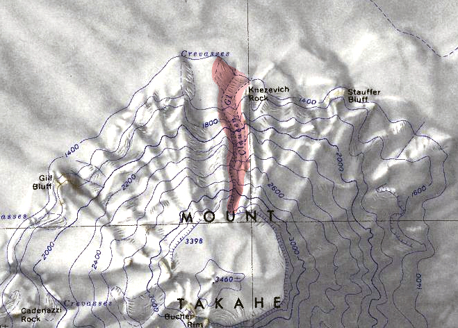
- Clausen Glacier.jpg 659 × 472; 318 KB
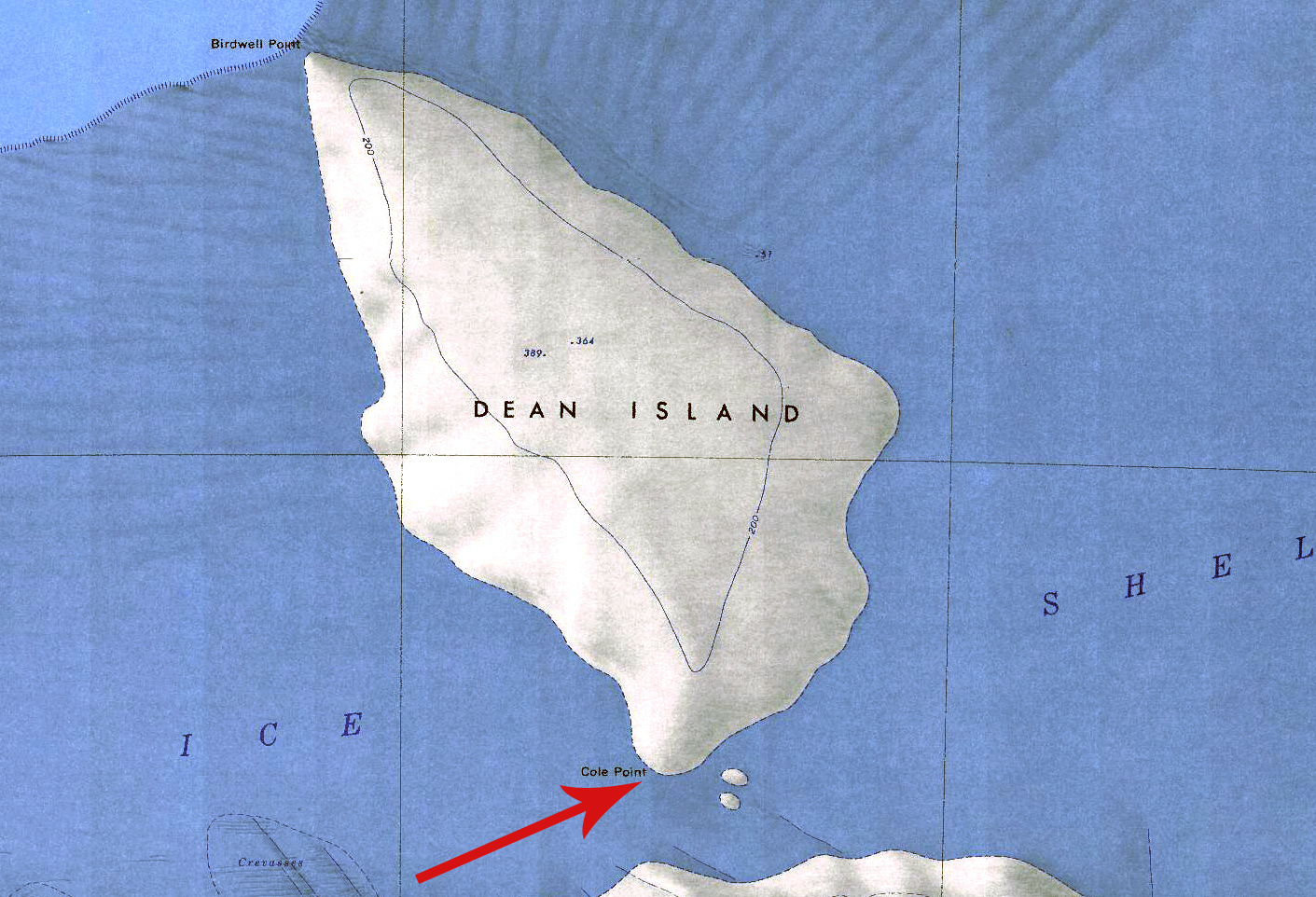
- Cole Point.jpg 1,411 × 962; 679 KB
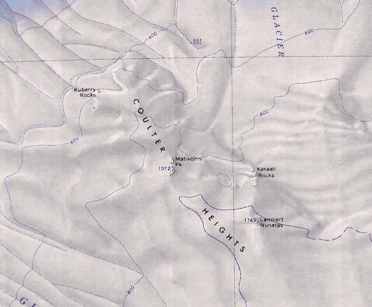
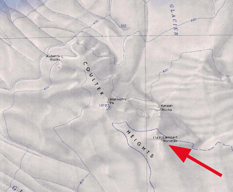
- Coulter Heights.png 750 × 619; 809 KB
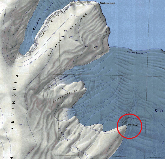
- Coyer-Point.jpg 628 × 605; 369 KB
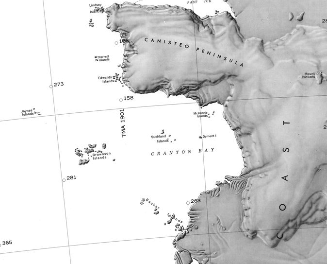
- Cranton Bay.png 674 × 543; 238 KB
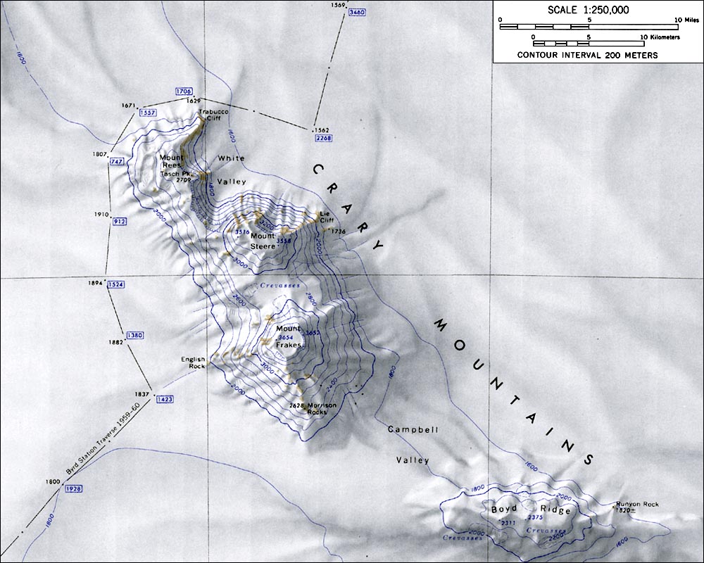
- CraryMtnsMap.jpg 1,000 × 800; 145 KB
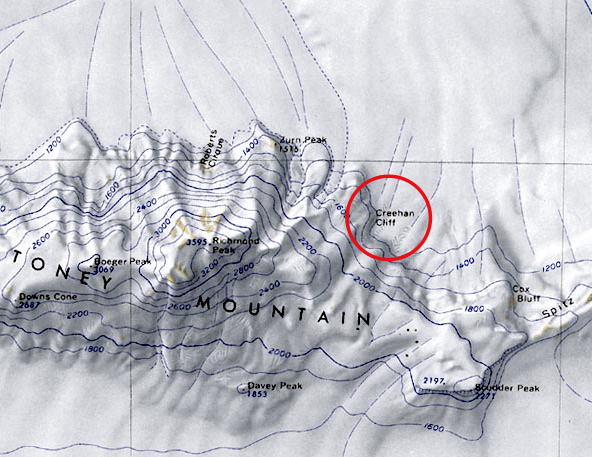
- Creehan-Cliff.jpg 592 × 457; 218 KB
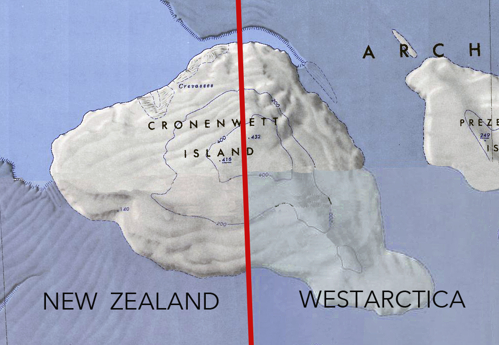
- Cronenwett-Island.jpg 999 × 691; 533 KB
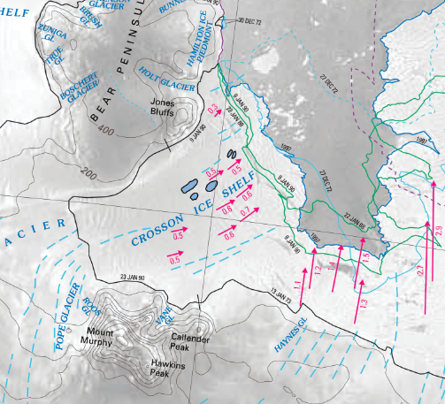
- Crosson Ice Shelf.png 503 × 457; 465 KB
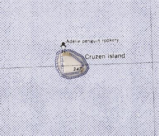
- Cruzen-Island.png 534 × 457; 536 KB
- Cumming.jpg 1,000 × 800; 126 KB
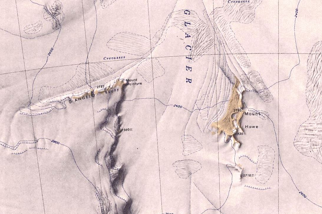
- DAngelo.jpg 1,093 × 725; 160 KB
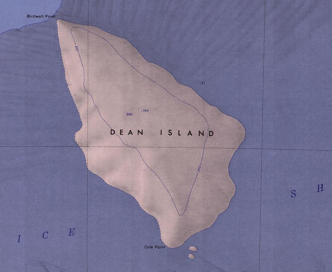
- Dean-Island-Map.jpg 1,122 × 920; 136 KB
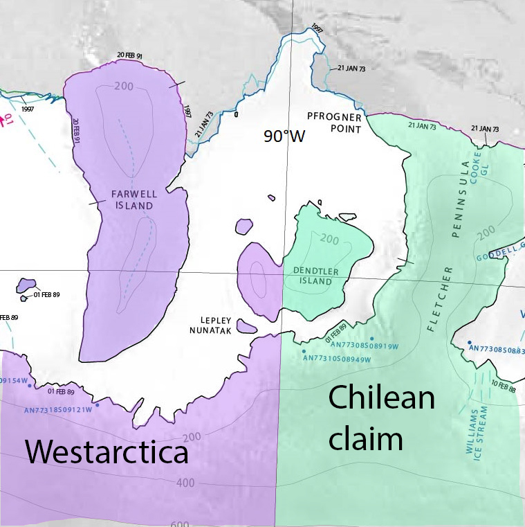
- Dendtler.jpg 759 × 761; 277 KB
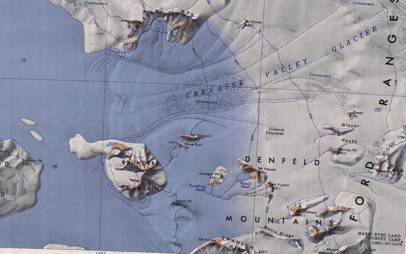
- Denfeld-mts.jpg 1,320 × 825; 225 KB
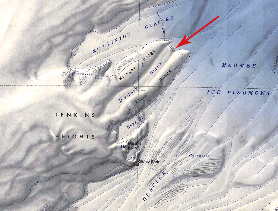
- Dorchuck Glacier.jpg 922 × 700; 616 KB
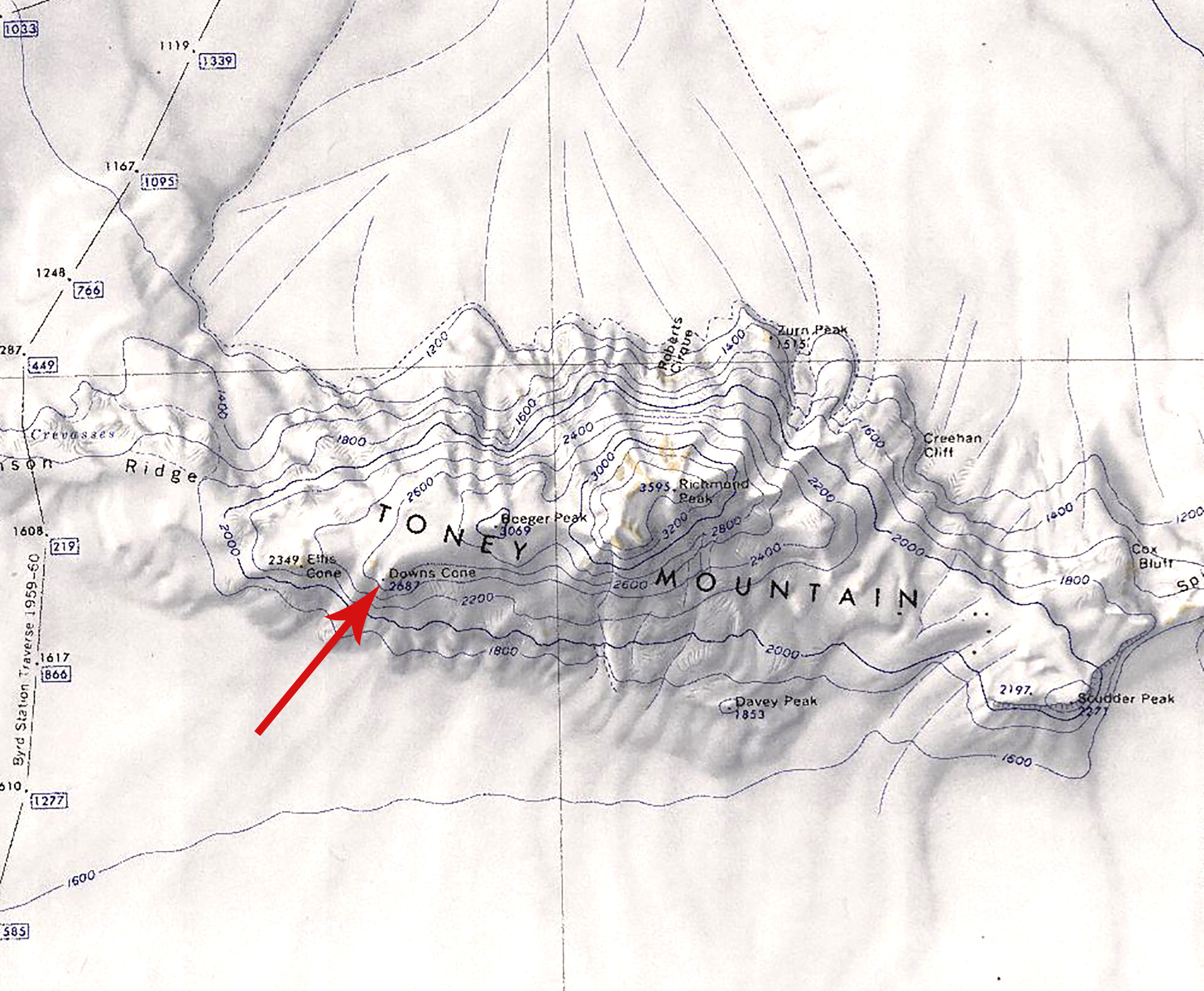
- Downs Cone.jpg 1,998 × 1,644; 739 KB
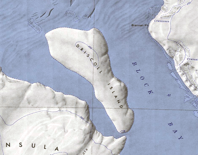
- Driscoll-Island.png 663 × 521; 620 KB
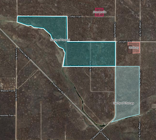
- Duchy-Hazard.png 652 × 583; 670 KB
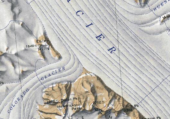
- Eblen-Hills.jpg 593 × 416; 251 KB
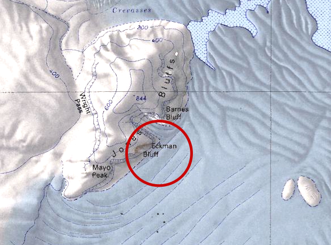
- Eckman-Bluff.jpg 652 × 483; 250 KB
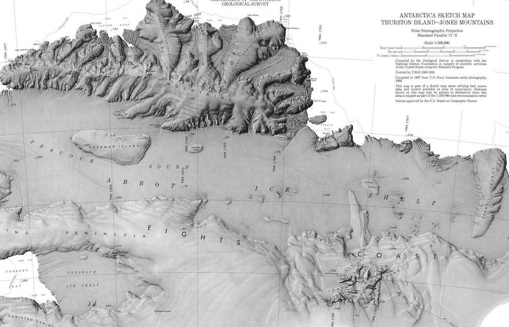
- Eights Coast.png 1,002 × 643; 733 KB
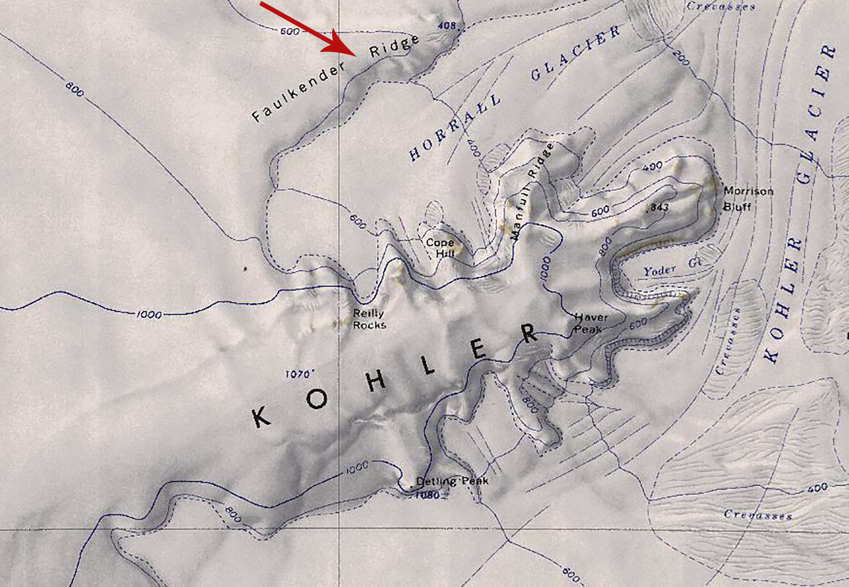
- Faulkender Ridge.jpg 1,746 × 1,208; 668 KB
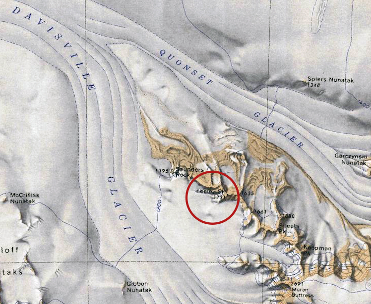
- Feeley-Peak.jpg 748 × 614; 410 KB
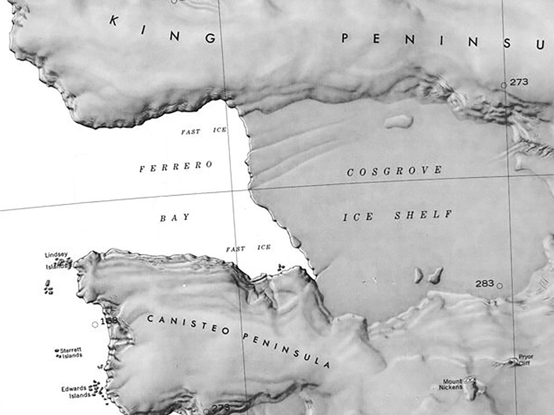
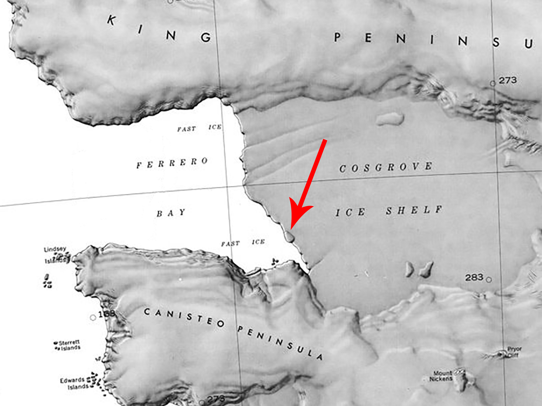
- Ferrero Bay Map.jpg 1,851 × 1,386; 486 KB
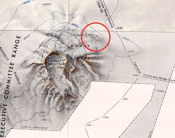
- Feyerharm-Map.jpg 569 × 451; 234 KB
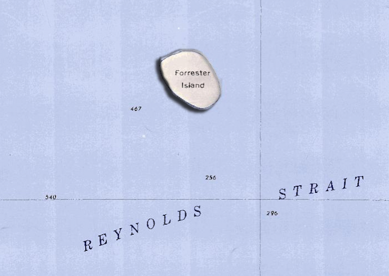
- Forrester-Island.png 768 × 545; 567 KB
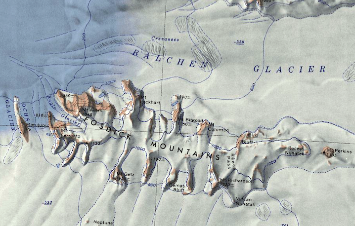
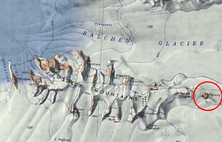
- Fosdick Mts.png 718 × 458; 657 KB
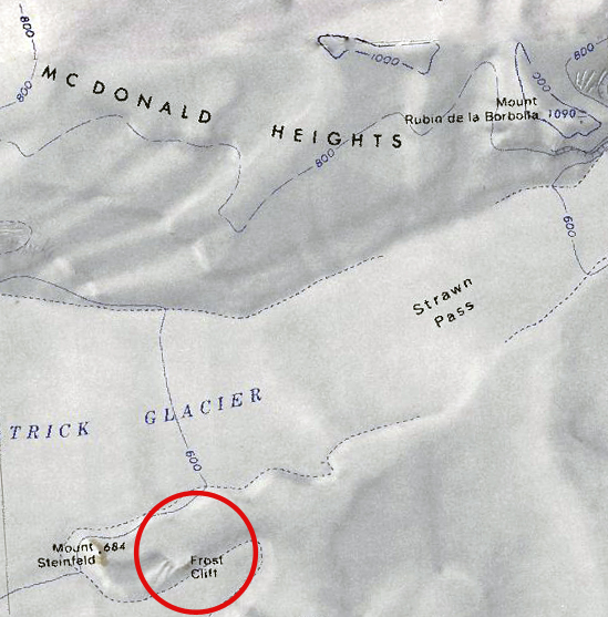
- Frost Cliff.jpg 549 × 557; 232 KB
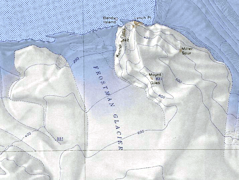
- Frostman Glacier.png 836 × 630; 1.01 MB
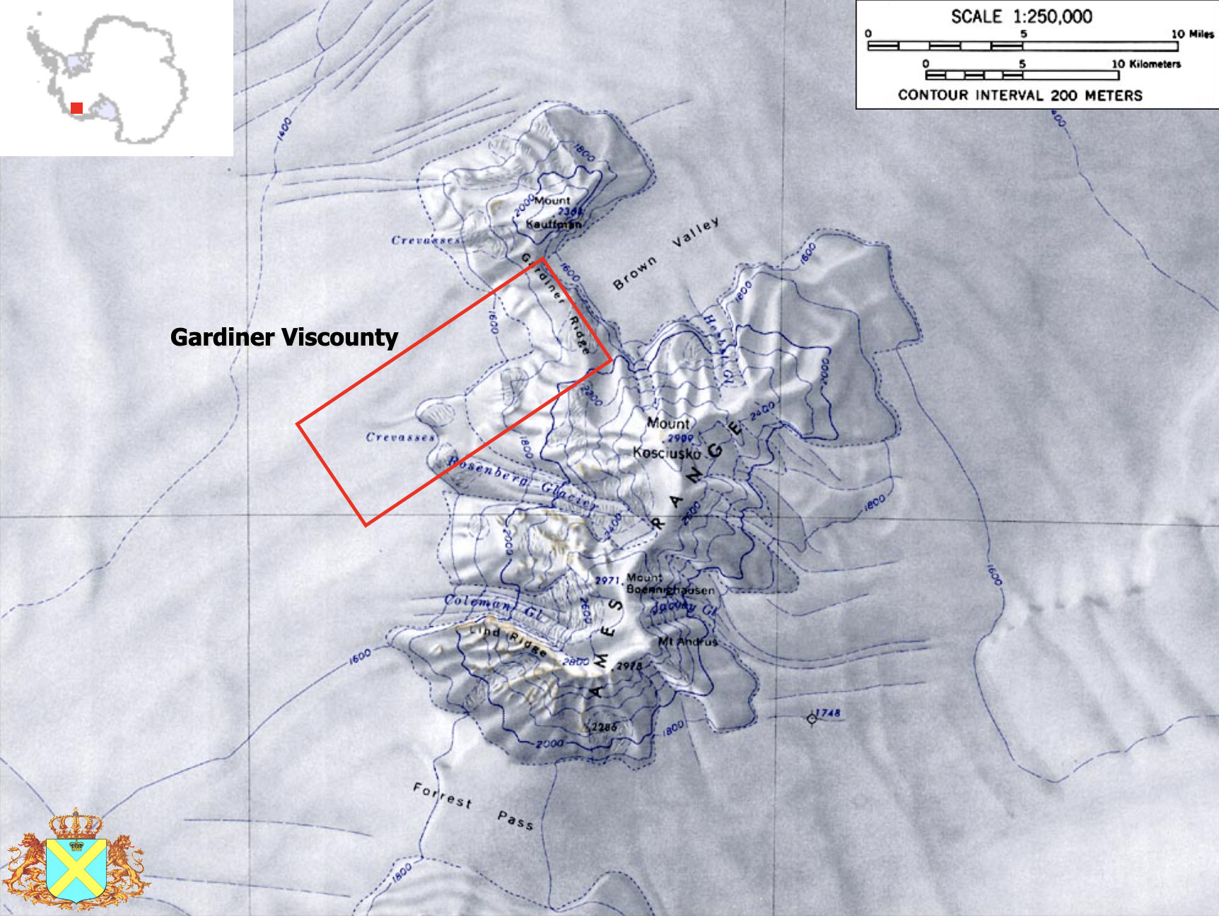
- Gardiner Ridge.jpg 1,724 × 1,296; 402 KB
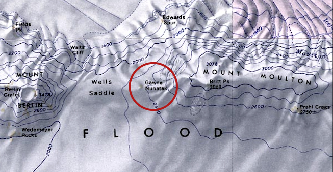
- Gawne-Nun.jpg 653 × 338; 223 KB
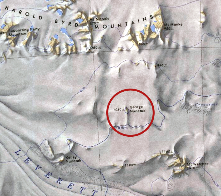
- George-Nun.jpg 709 × 631; 378 KB
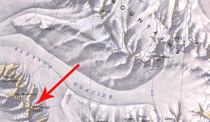
- Gerdel.jpg 713 × 414; 165 KB
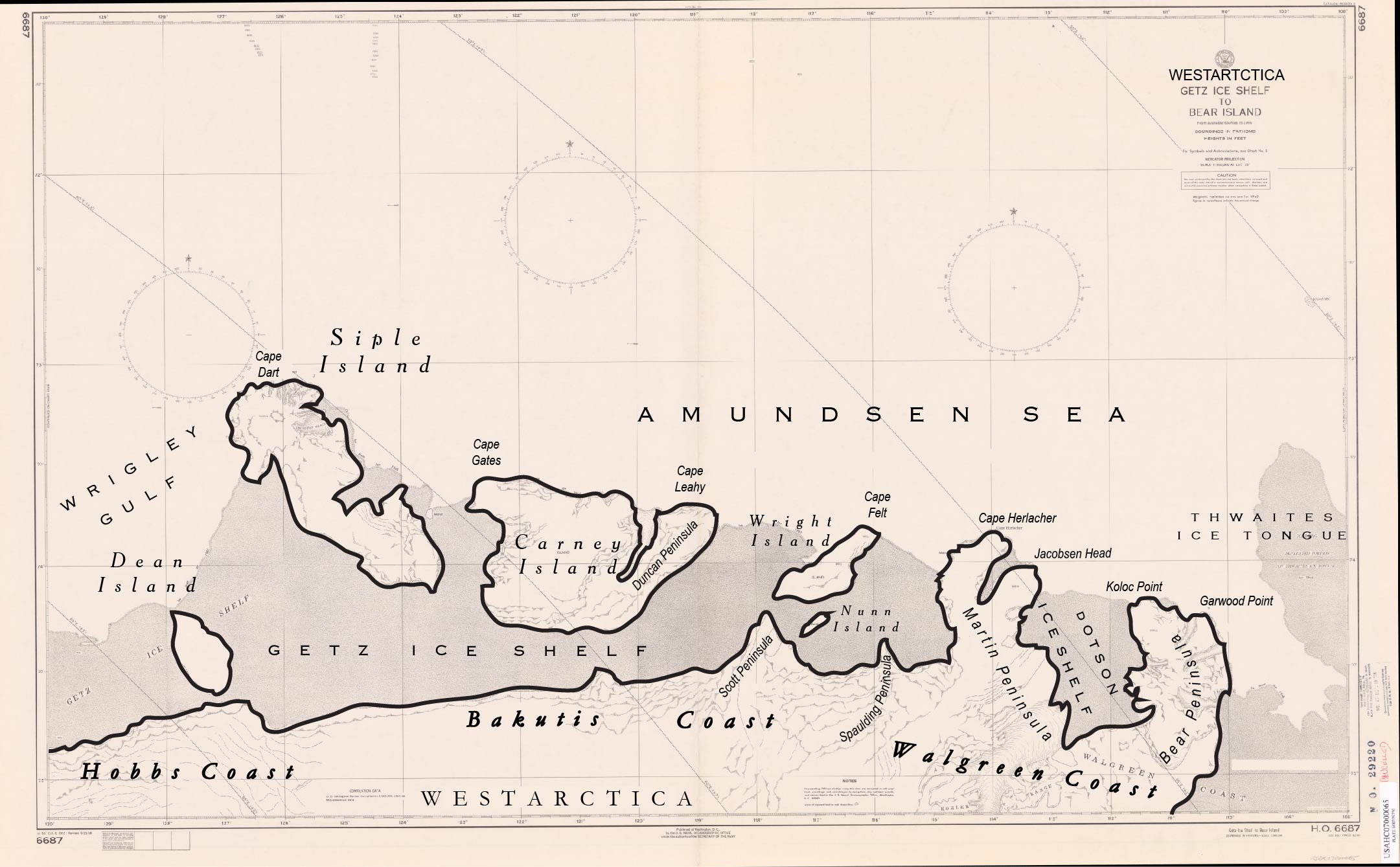
- Getz Ice Shelf to Bear Island.jpg 2,161 × 1,339; 305 KB
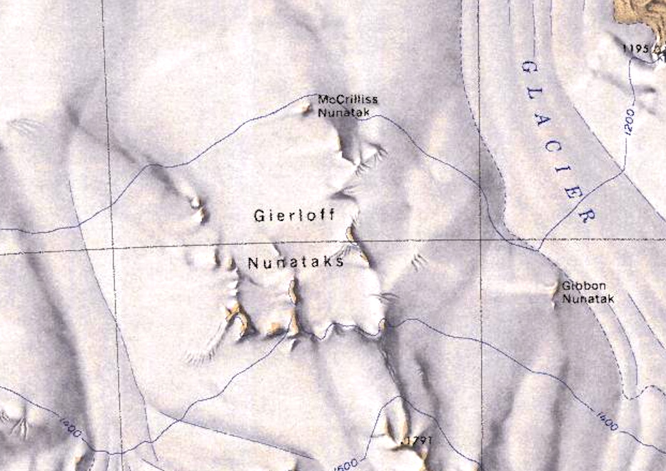
- Gierloff Nunataks.jpg 933 × 659; 222 KB
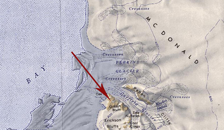
- Gilbert Bluff.jpg 785 × 455; 335 KB
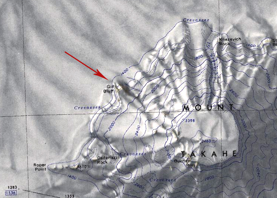
- Gill-Bluff.jpg 914 × 654; 266 KB
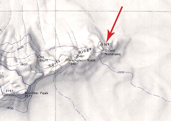
- Gillett Nunataks.jpg 586 × 414; 104 KB
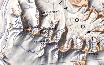
- Goldstream-Peak.png 340 × 214; 186 KB
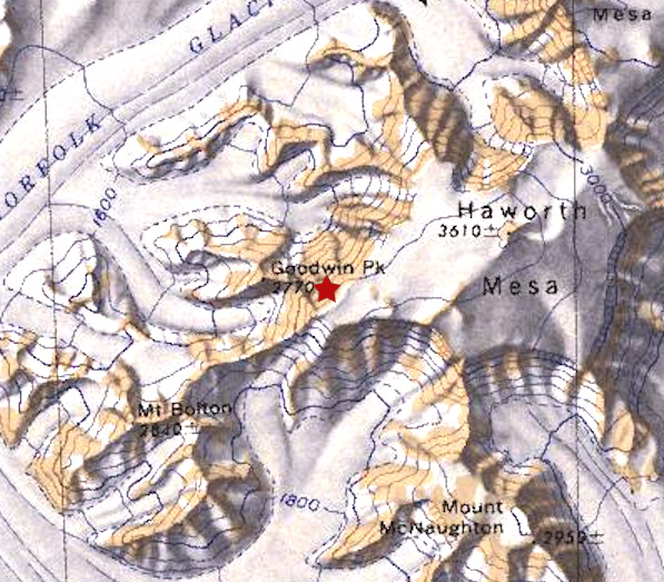
- Goodwin Peak.jpg 597 × 523; 205 KB
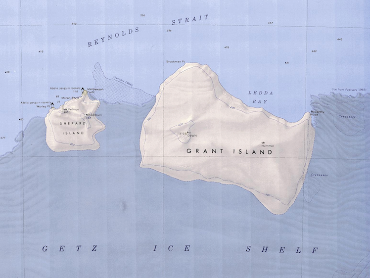
- Grand-Shepard-Map.png 748 × 562; 662 KB
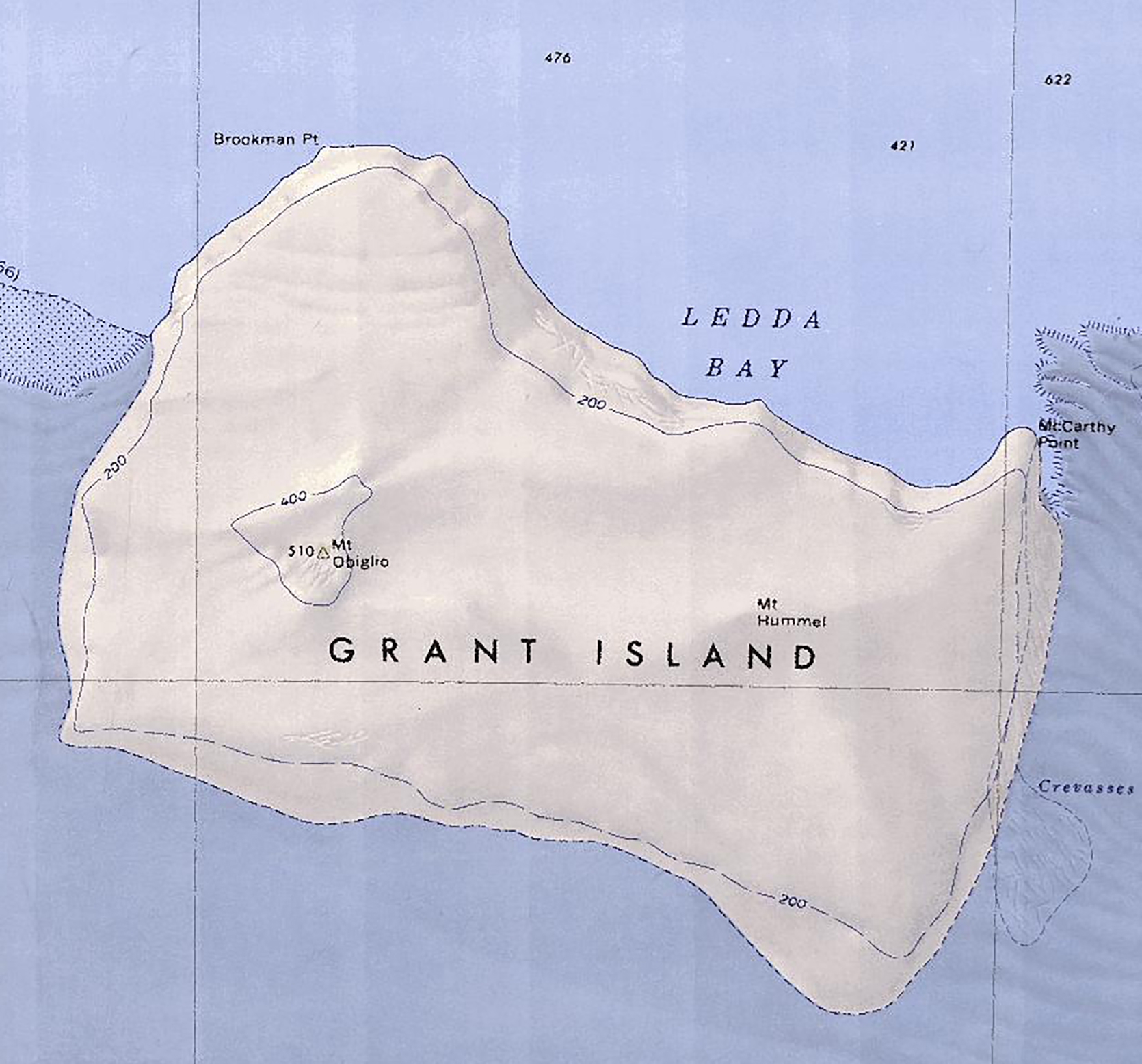
- Grant Island.jpg 1,670 × 1,556; 895 KB
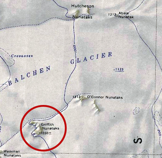
- Griffith-Nunataks.jpg 526 × 515; 137 KB
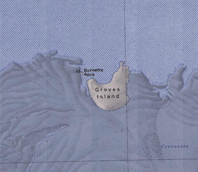
- Groves-Island.png 671 × 584; 661 KB
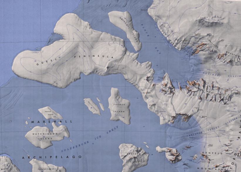
- Guest Peninsula Map.jpg 821 × 586; 77 KB
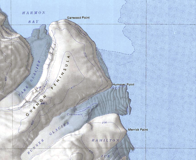
- Gurnon-Peninsula.png 761 × 622; 1.01 MB
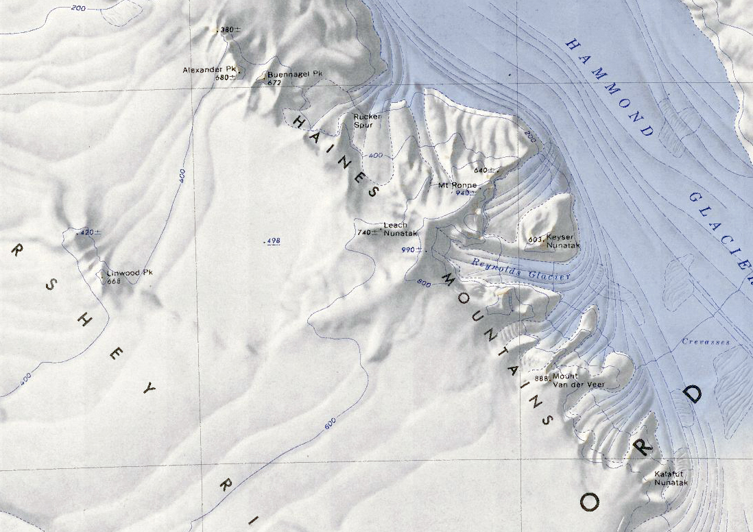
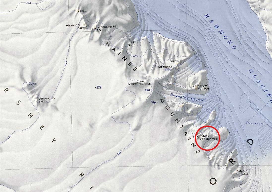
- Haines Mountains.jpg 1,098 × 776; 618 KB
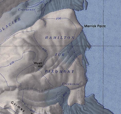
- Hamilton Ice.png 495 × 470; 452 KB
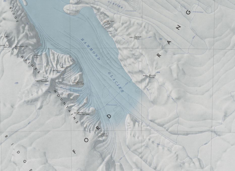
- Hammond Glacier.jpg 931 × 678; 336 KB
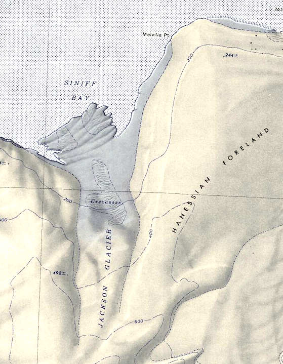
- Hanessian-Foreland.png 559 × 719; 787 KB
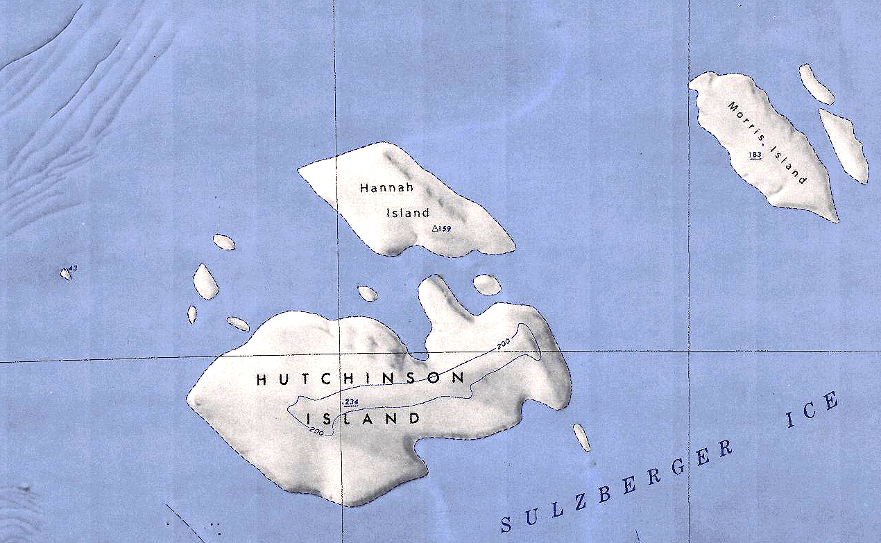
- Hannah-Hutchinson.jpg 1,270 × 783; 1,015 KB
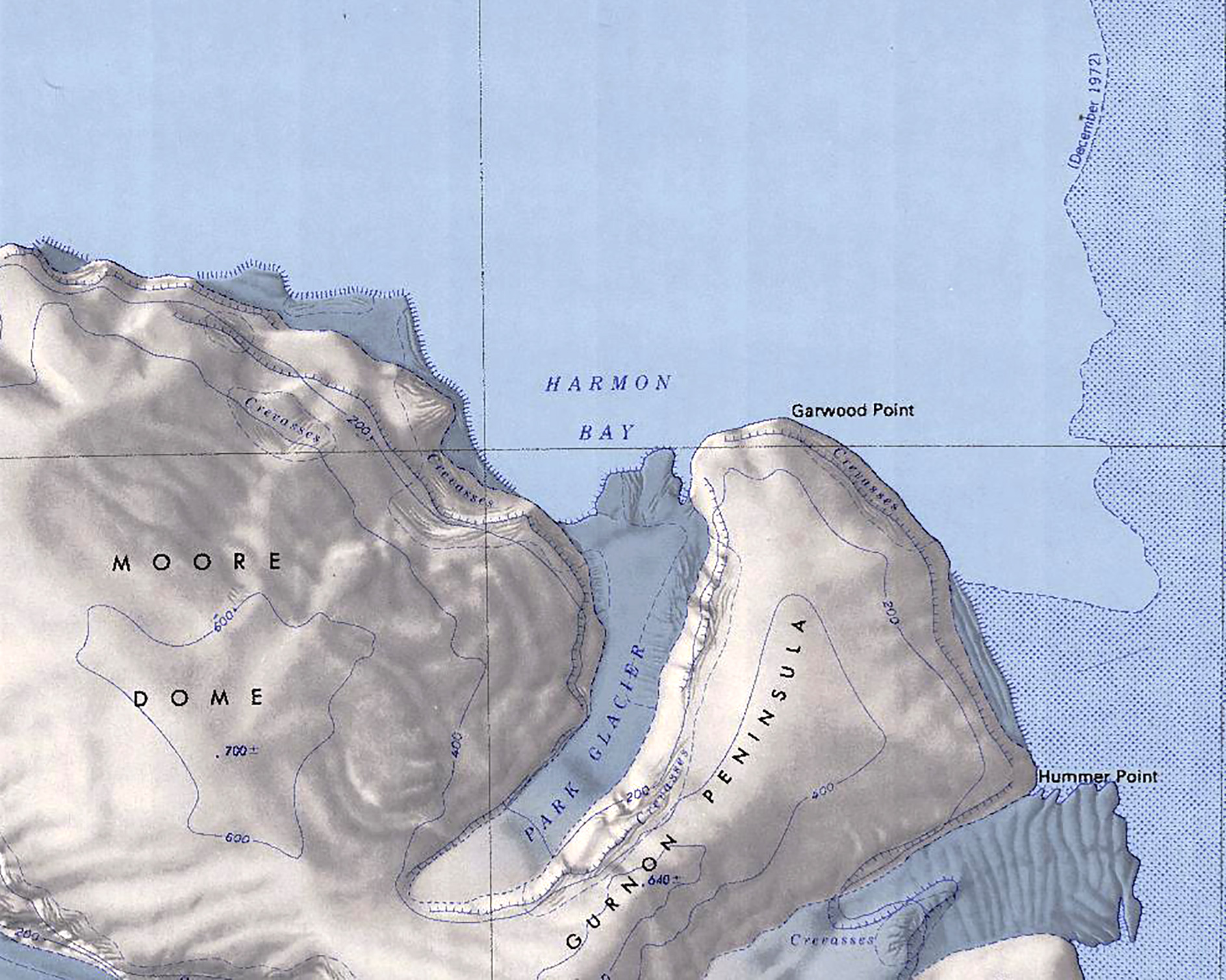
- Harmon Bay.jpg 1,887 × 1,509; 913 KB
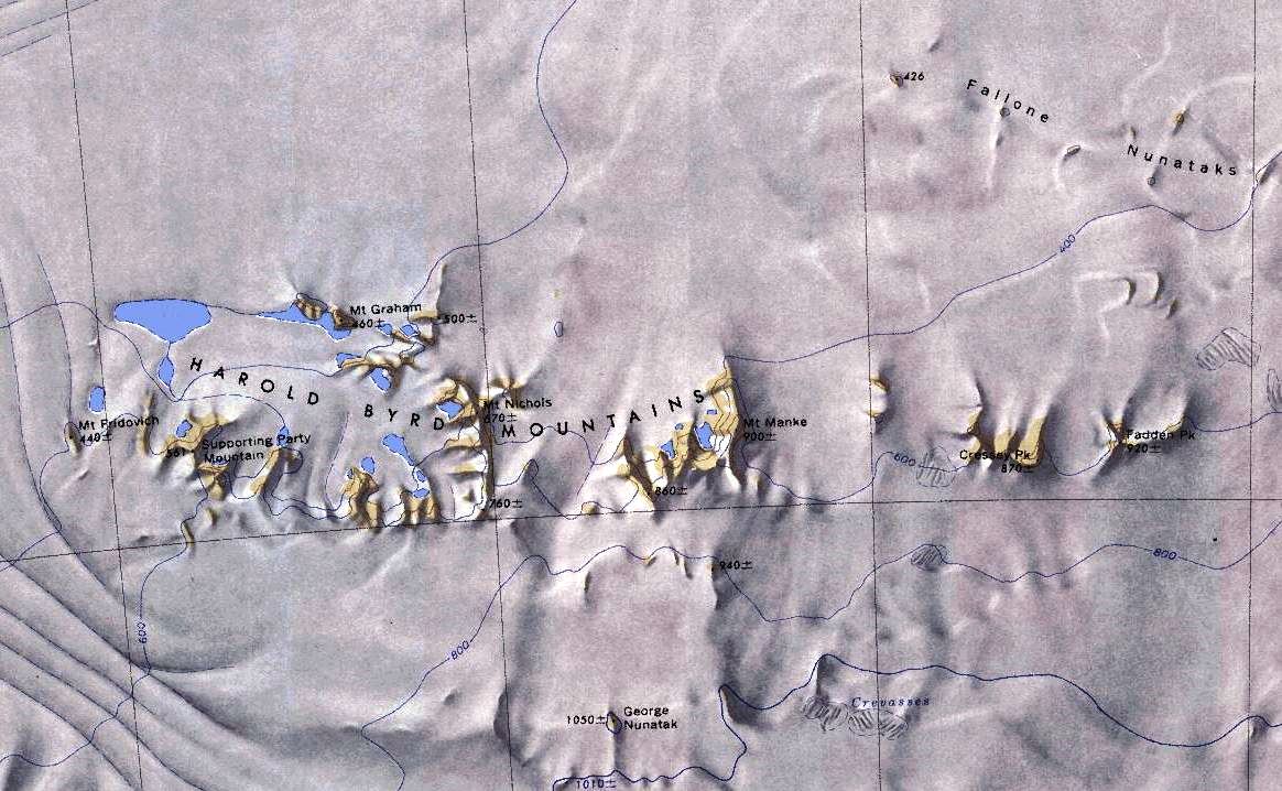
- Harold-Mountains.jpg 1,164 × 718; 186 KB
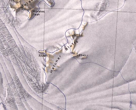
- Hatcher Bluffs.jpg 534 × 433; 124 KB
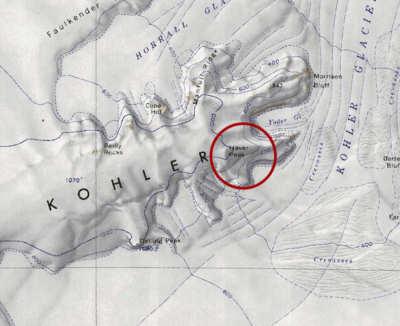
- Haver-Peak.jpg 789 × 642; 439 KB
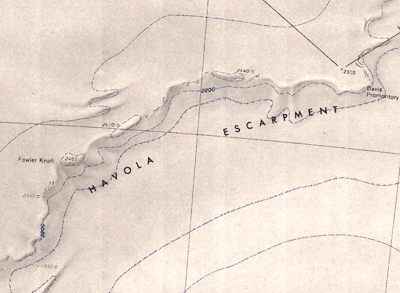
- Havola-Escarpment.png 781 × 573; 701 KB
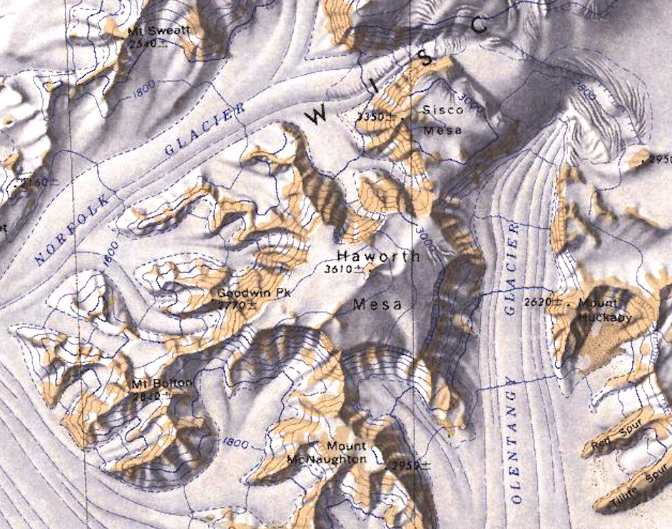
- Haworth Mesa.jpg 942 × 742; 381 KB
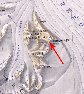
- Heathcock Peak.jpg 353 × 395; 92 KB
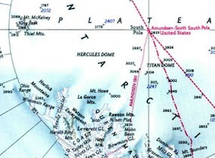
- Hercules Dome Map.png 311 × 228; 146 KB
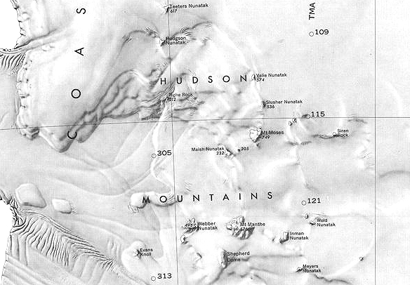
- Hudson-Mountains.jpg 584 × 406; 168 KB
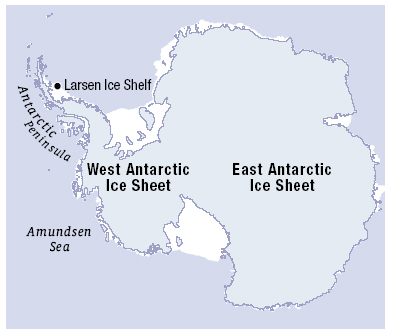
- Icesheet-Map.jpg 393 × 335; 52 KB
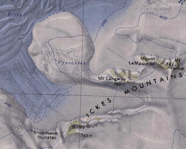
- Ickes Mountains - Antarctica.png 614 × 493; 539 KB
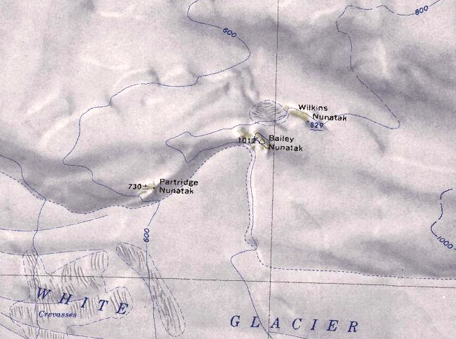
- Ickes Nunataks.png 652 × 485; 524 KB
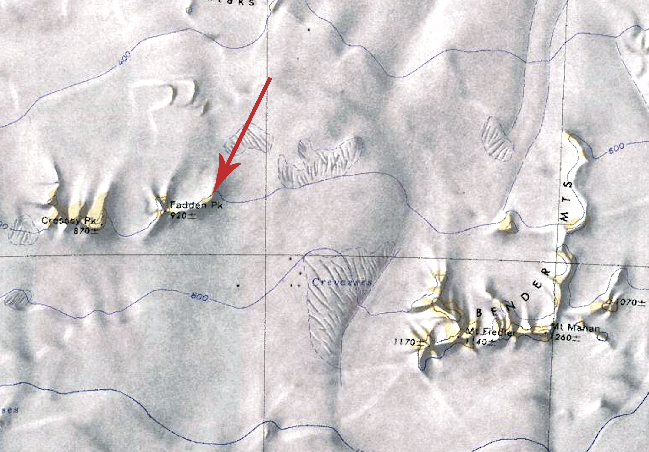
- Ivory Tower Map.jpg 2,144 × 1,494; 604 KB
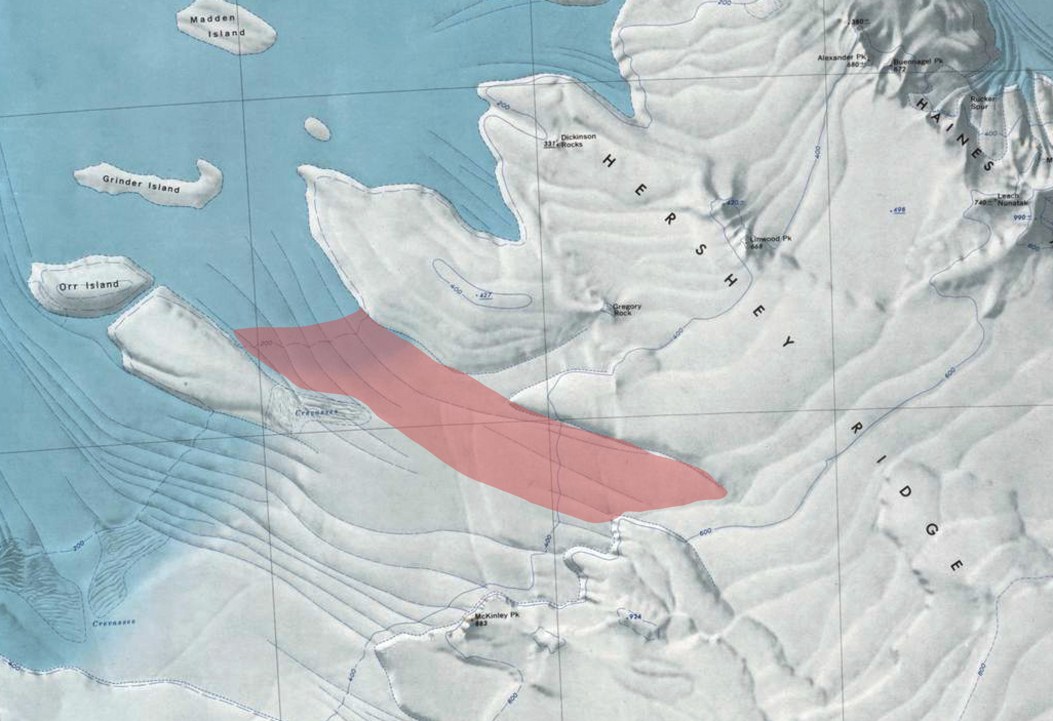
- Jacobel Glacier.jpg 2,052 × 1,406; 538 KB
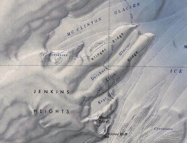
- Jenkins-Heights.png 621 × 475; 572 KB
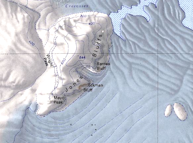
- Jones Bluffs.jpg 652 × 483; 243 KB
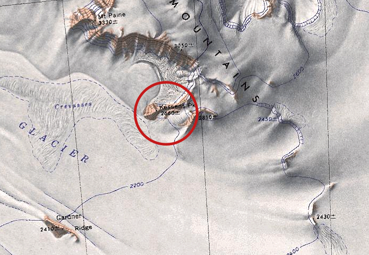
- Kessens-Peak.jpg 738 × 511; 371 KB
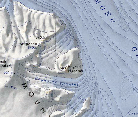
- Keyser Nunatak.png 452 × 385; 381 KB
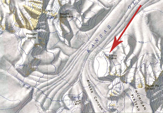
- Kirby Cone Map.jpg 653 × 455; 326 KB
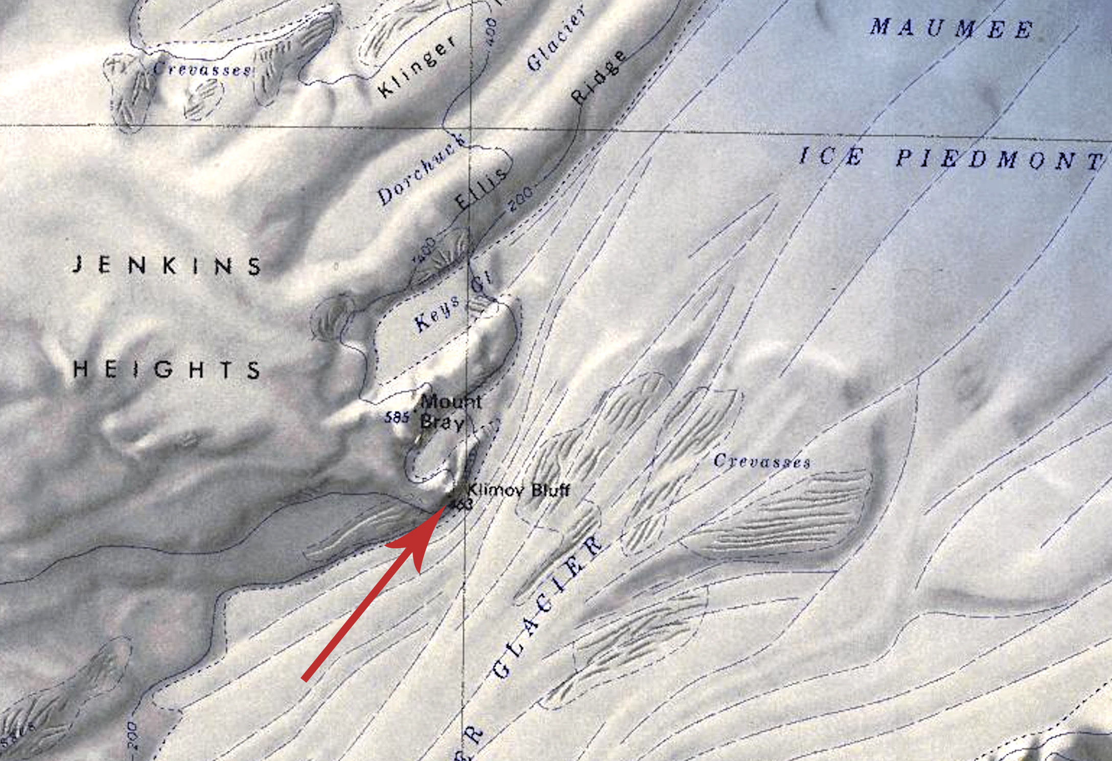
- Klimov Bluff.jpg 2,176 × 1,488; 703 KB
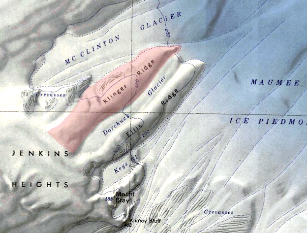
- Klinger-Ridge.jpg 624 × 473; 278 KB
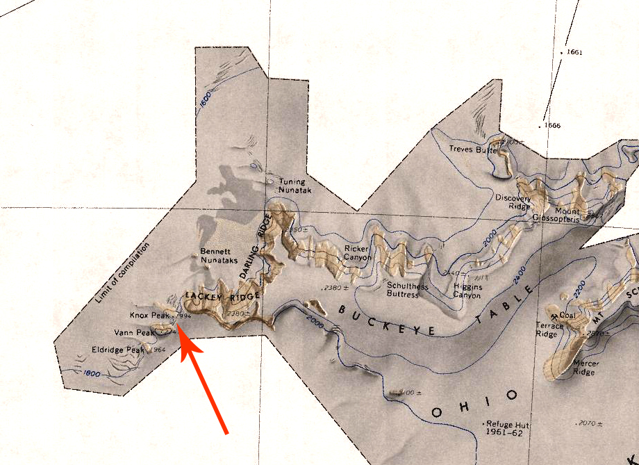
- Knox Peak.jpg 920 × 669; 510 KB
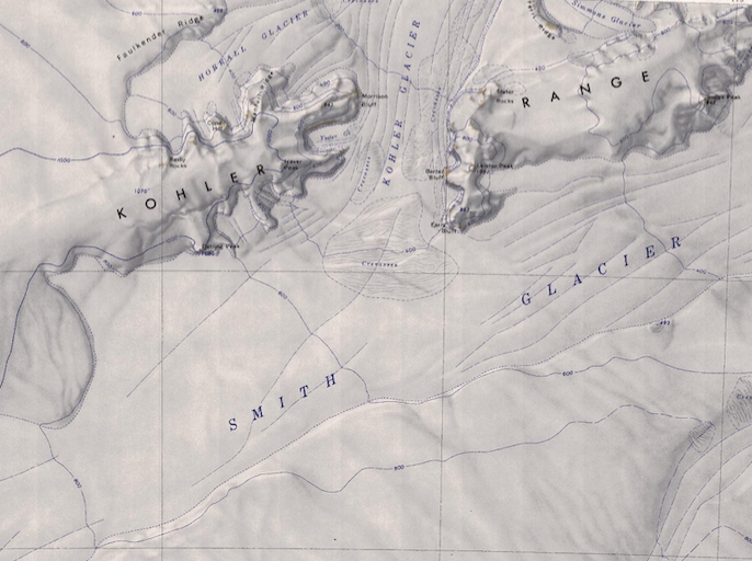
- Kohler Range - Smith Glacier.png 686 × 512; 628 KB
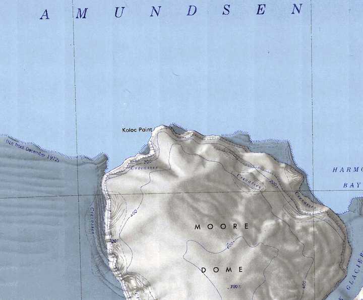
- Koloc-Point.png 720 × 595; 713 KB
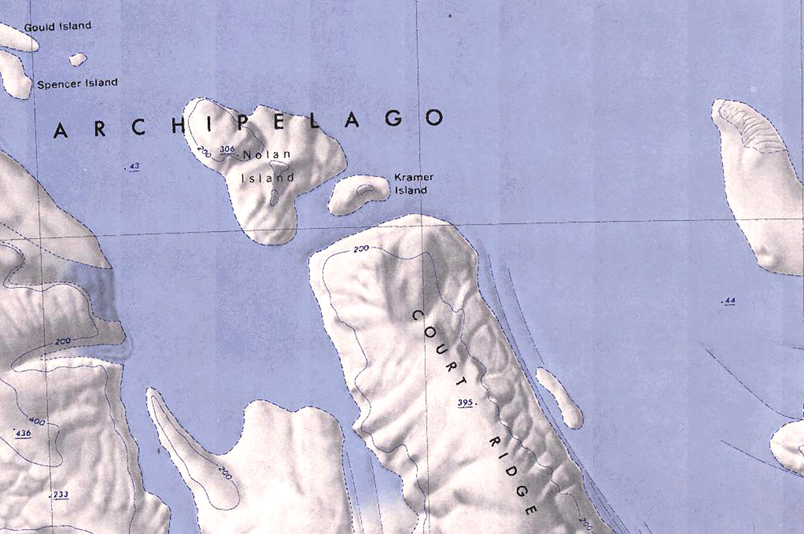
- Kramer Island.jpg 1,635 × 1,086; 380 KB
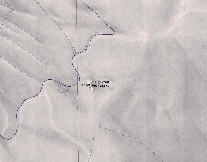
- Krigsvold Nunataks.png 674 × 529; 656 KB
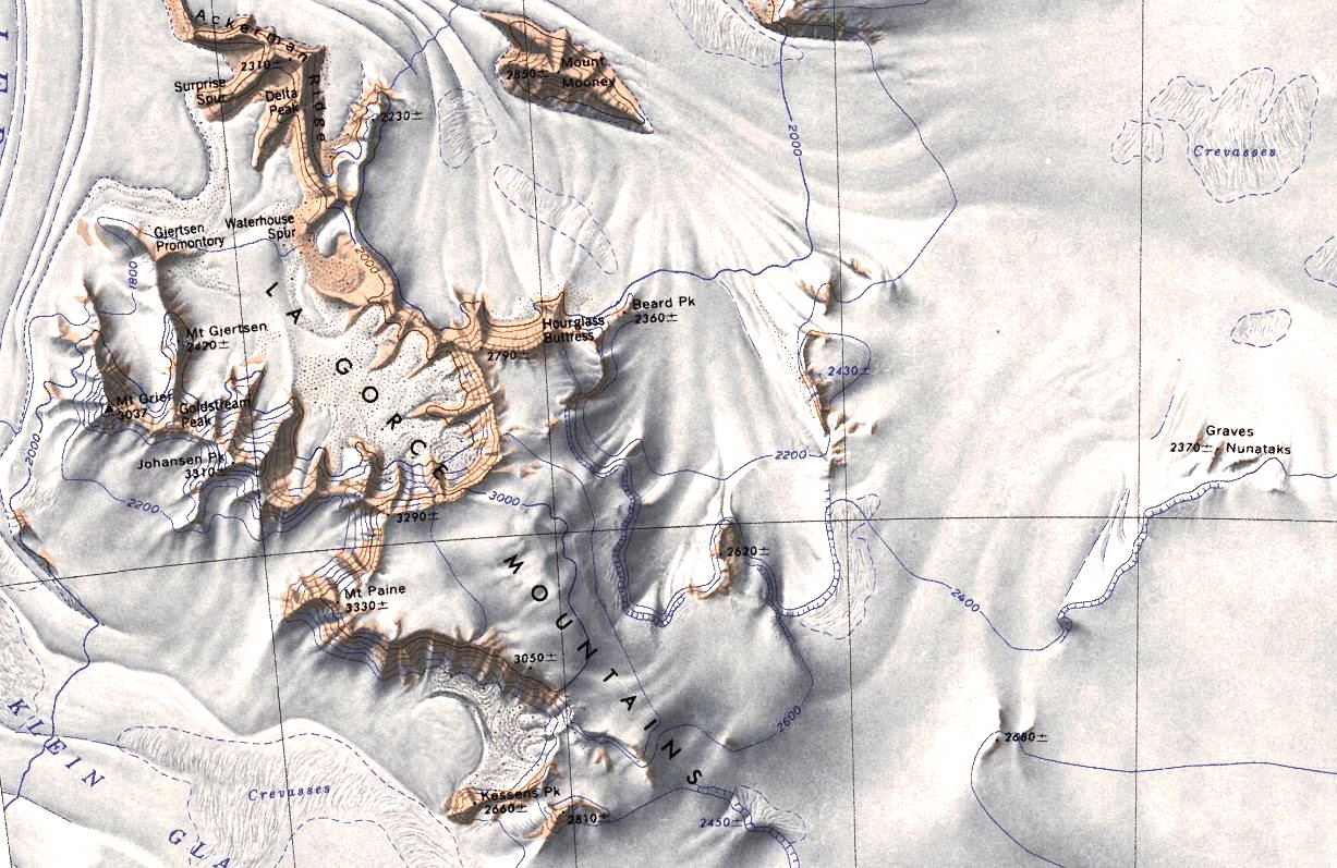
- LaGorce.jpg 1,227 × 797; 228 KB
- Lambert Barony.jpg 750 × 619; 301 KB
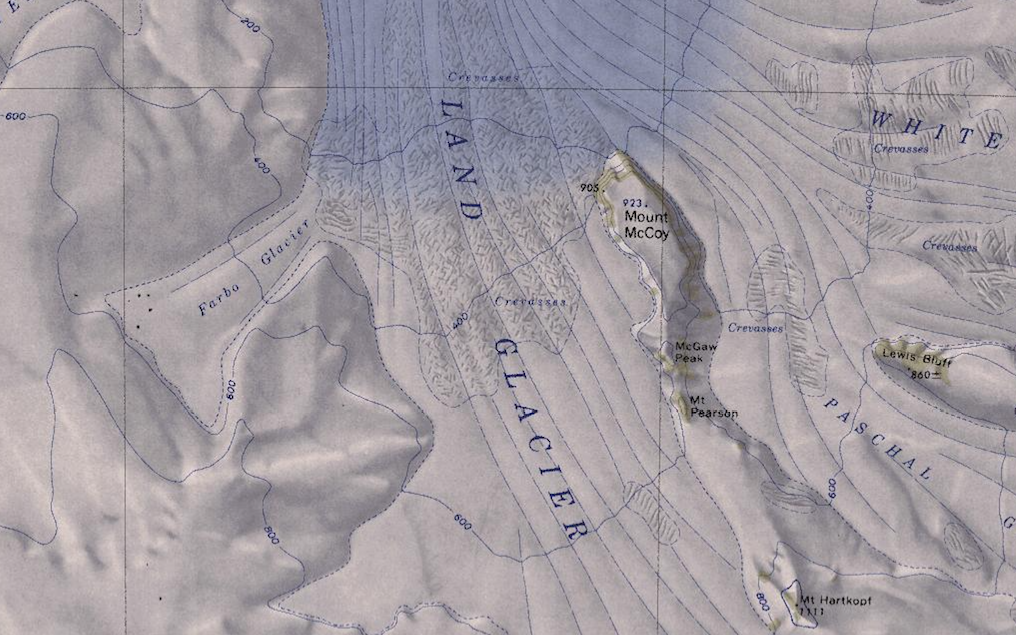
- Land-Glacier-Map.png 1,016 × 635; 1.08 MB
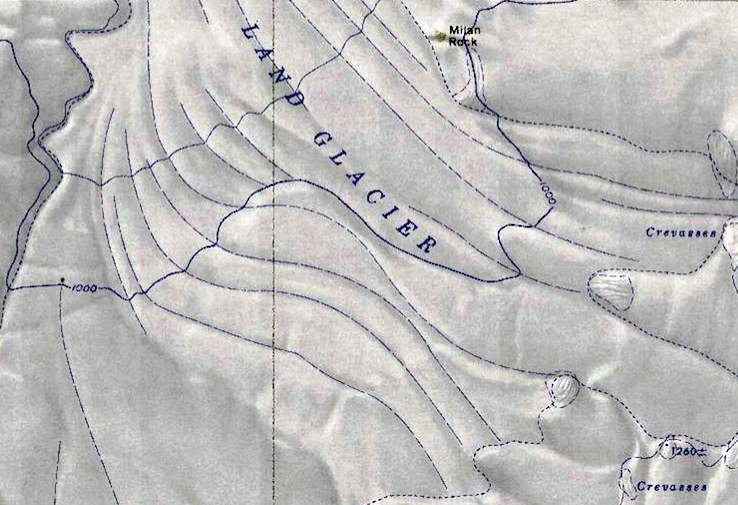
- Land-Glacier-Milan.png 738 × 505; 750 KB
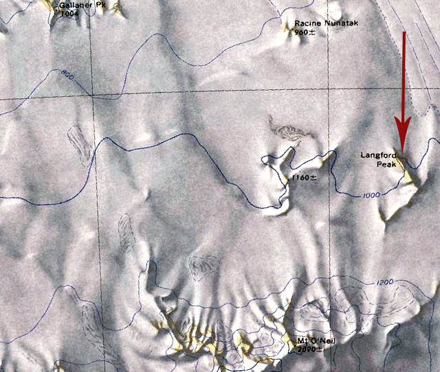
- Langford Peak.jpg 640 × 542; 329 KB
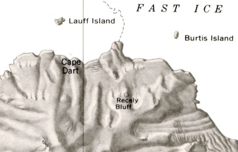
- Lauff-Burtis Islands.png 783 × 500; 431 KB
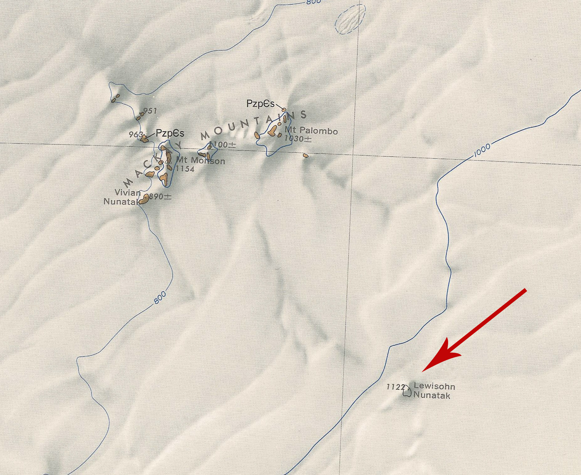
- Lewisohn Nunatak.jpg 1,846 × 1,509; 905 KB
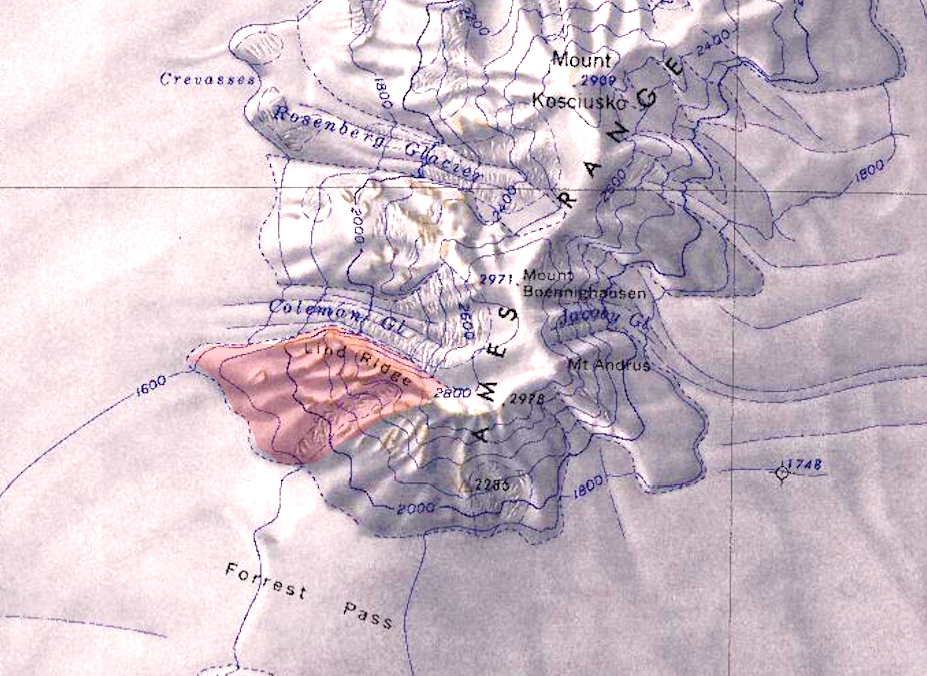
- LindRidge.jpg 927 × 676; 575 KB
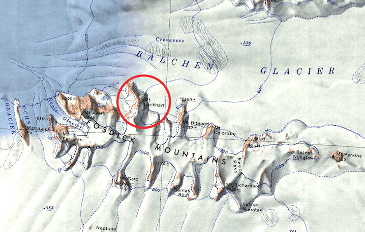
- Lockhart.jpg 718 × 458; 332 KB
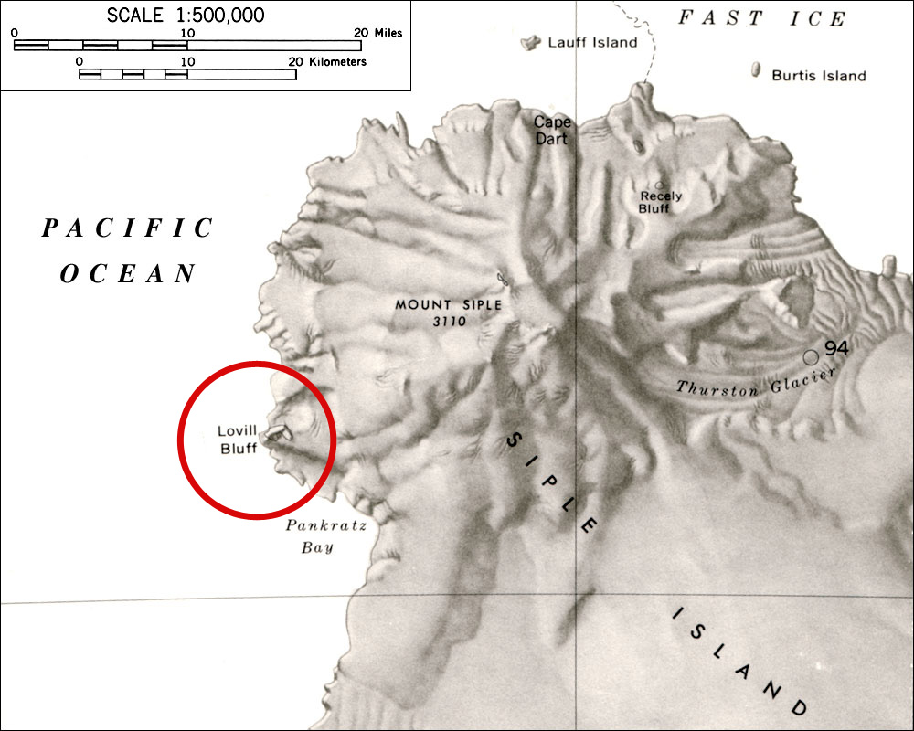
- Loville-Bluff.jpg 1,000 × 800; 173 KB
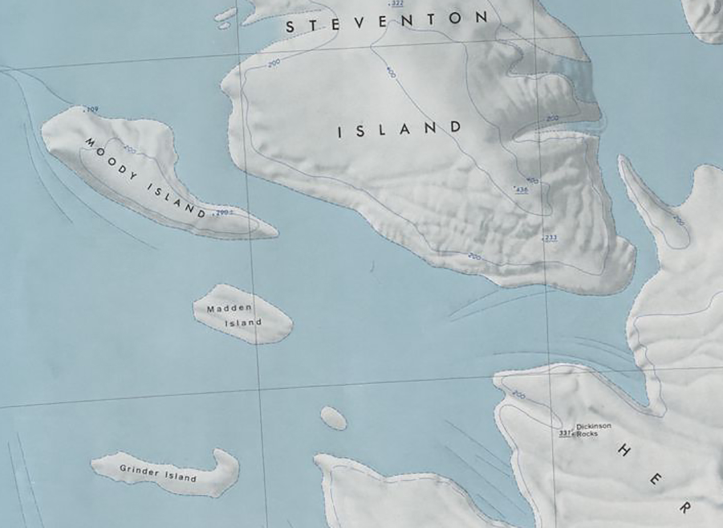
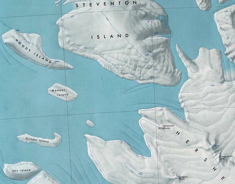
- Madden Island.jpg 1,414 × 1,032; 409 KB
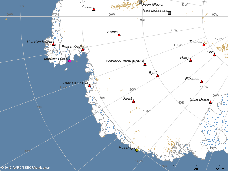
- Map-AWS from UW.png 800 × 600; 116 KB
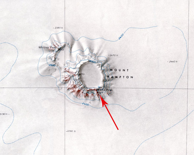
- MarksPeak.jpg 653 × 522; 88 KB
- Marshall-Islands.png 814 × 638; 971 KB
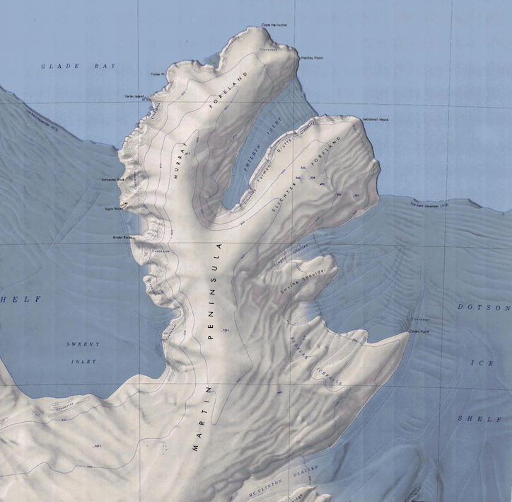
- Martin Peninsula Map.png 724 × 709; 921 KB
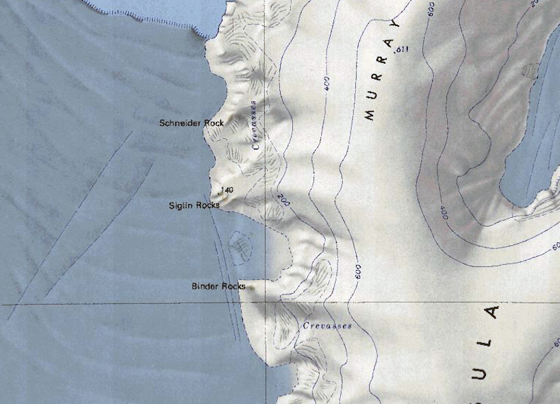
- Martin-West.jpg 818 × 590; 342 KB
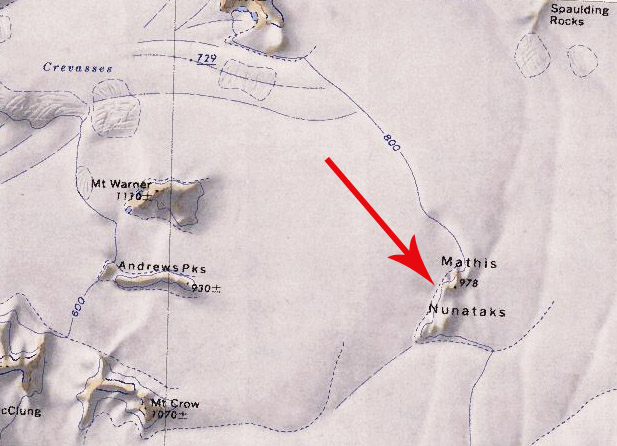
- Mathis Nunataks.jpg 617 × 446; 93 KB
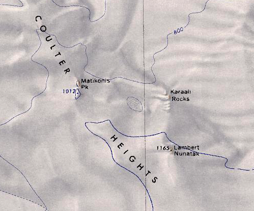
- Matikonis Peak.png 499 × 414; 400 KB
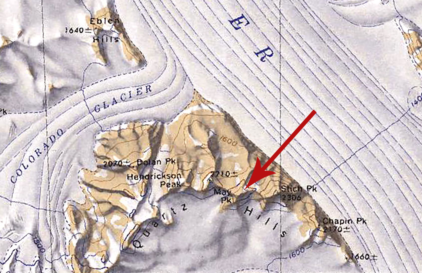
- May Peak.jpg 1,691 × 1,094; 686 KB
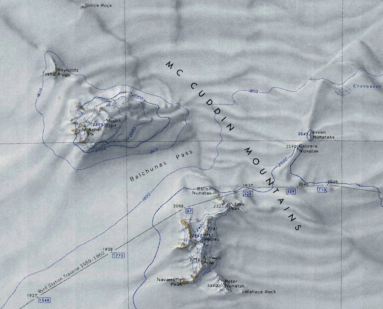
- McCuddin Mountains.png 755 × 610; 901 KB
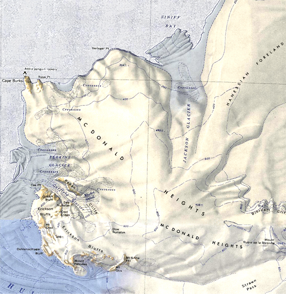
- McDonald Heights-Small.jpg 558 × 575; 357 KB
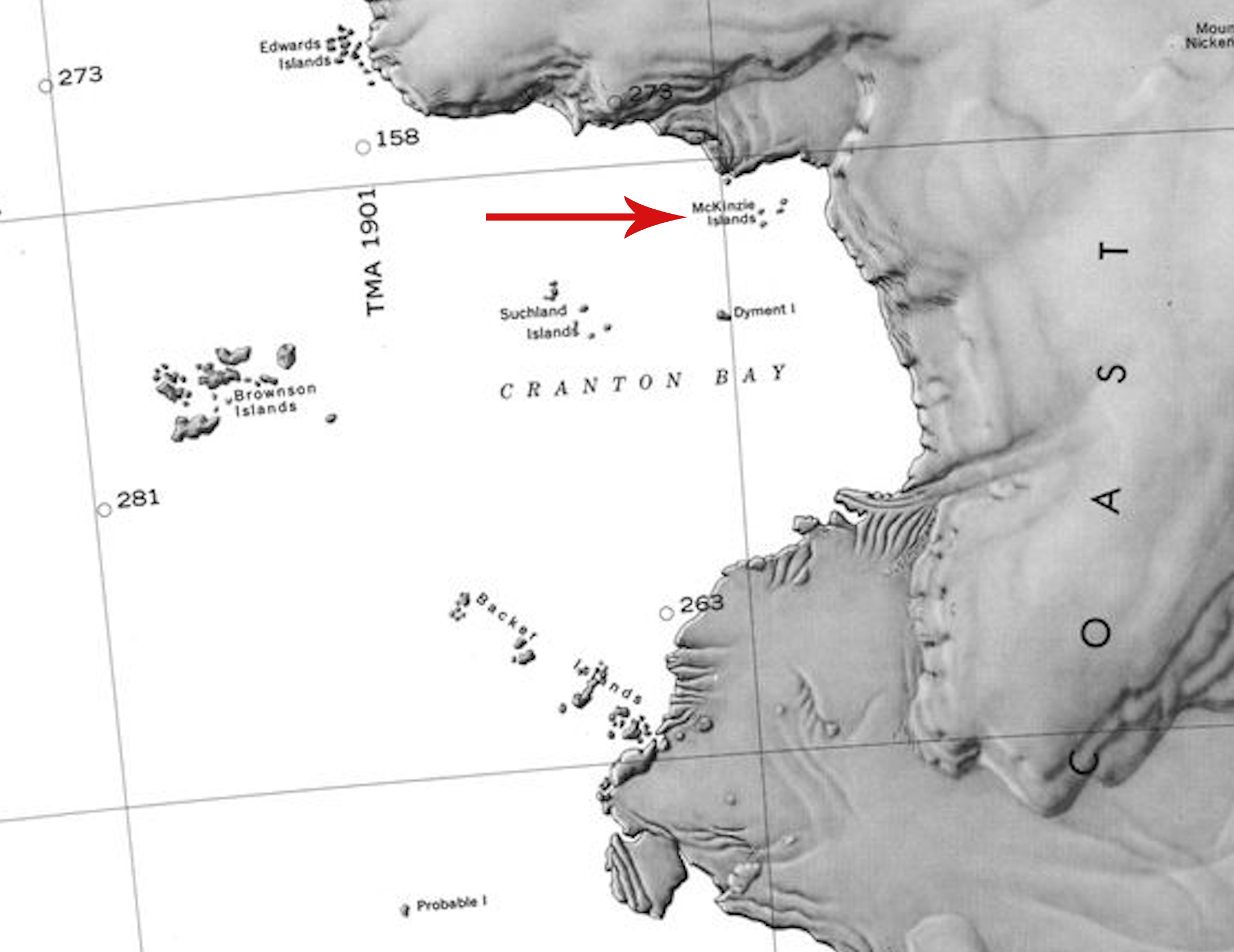
- McKinzie Islands.jpg 2,170 × 1,674; 673 KB
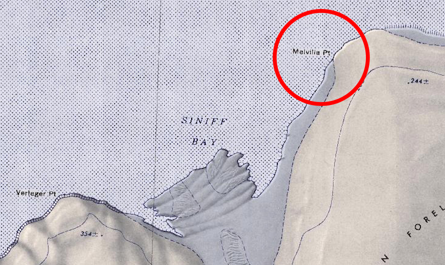
- Melville-Point.jpg 889 × 530; 427 KB
- Merrem Peak.png 452 × 384; 356 KB
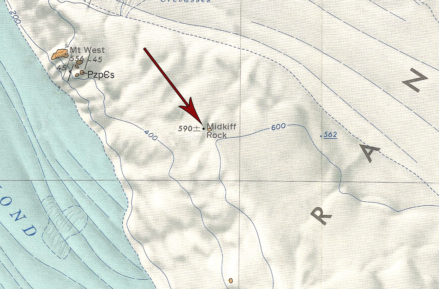
- Midkiff Rock.jpg 1,446 × 953; 794 KB
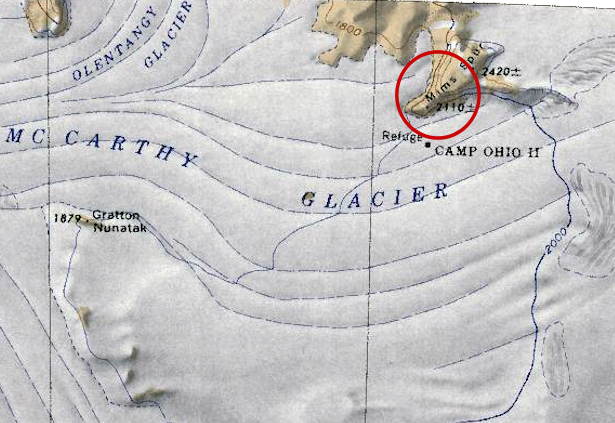
- Mims Spur.jpg 615 × 423; 231 KB
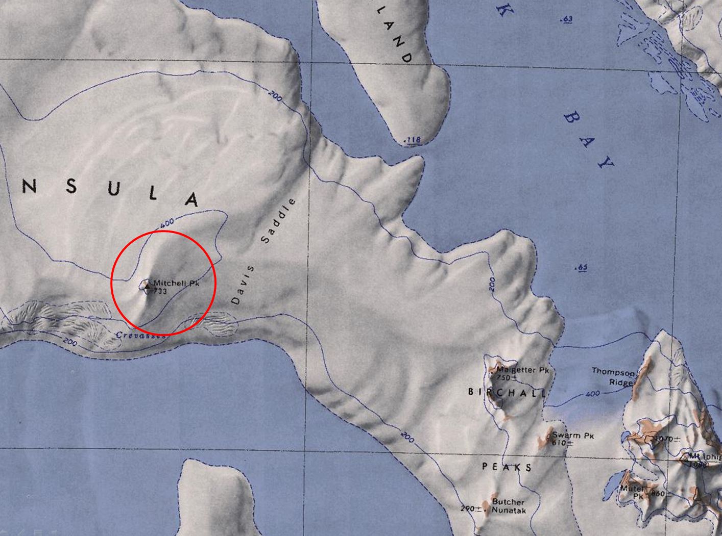
- Mitchell-Peak.jpg 1,414 × 1,051; 209 KB
- Molar Island.jpg.jpg 1,851 × 1,386; 271 KB
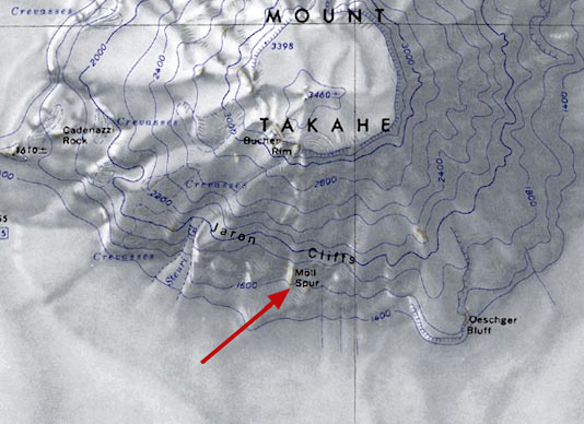
- Moll-Spur.jpg 534 × 388; 168 KB
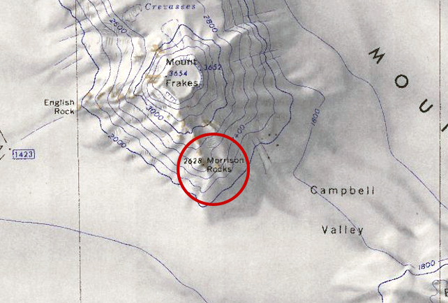
- Morrison-Barony.jpg 642 × 434; 246 KB
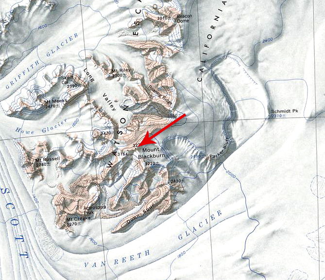
- Mount Blackburn.jpg 669 × 576; 430 KB
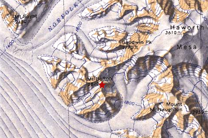
- Mount Bolton.jpg 721 × 479; 216 KB
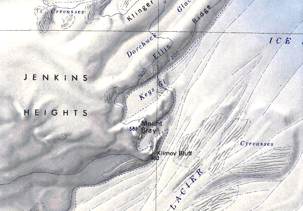
- Mount Bray.jpg 621 × 433; 158 KB
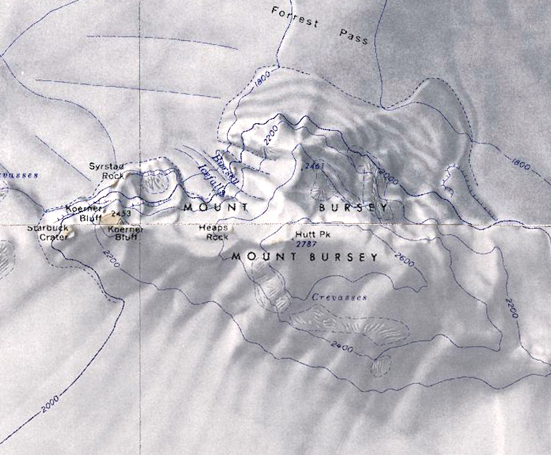
- Mount Bursey.jpg 796 × 658; 401 KB
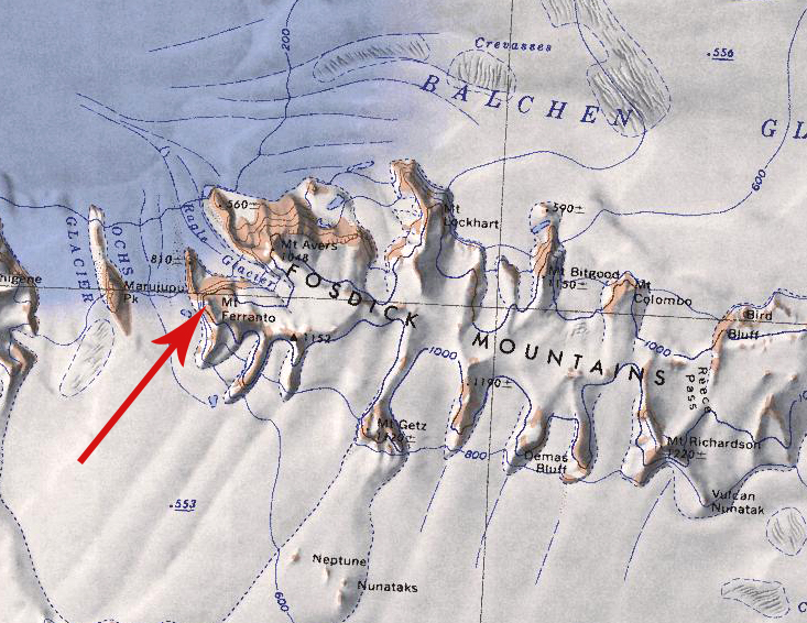
- Mount Ferranto.jpg 733 × 566; 411 KB
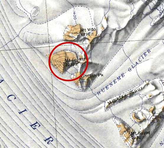
- Mount Frontz.jpg 556 × 504; 301 KB
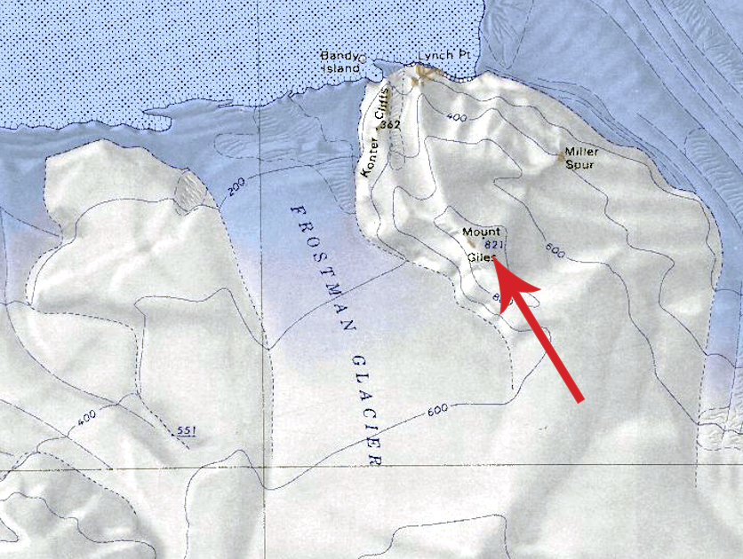
- Mount Giles.png 836 × 630; 888 KB
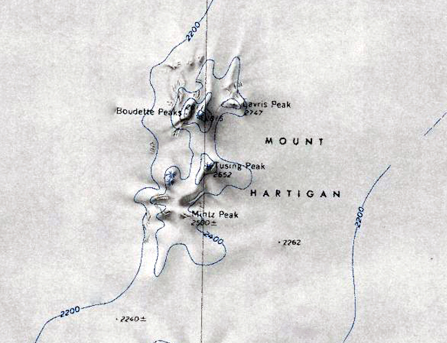
- Mount Hartigan.jpg 649 × 498; 254 KB
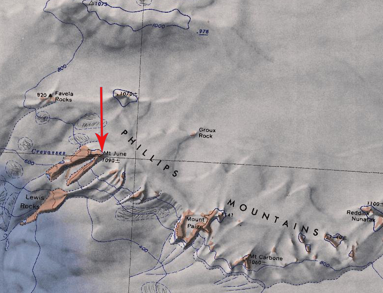
- Mount June.jpg 781 × 598; 352 KB
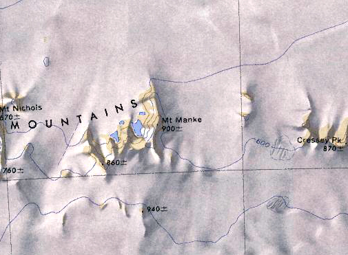
- Mount Manke.jpg 505 × 371; 168 KB
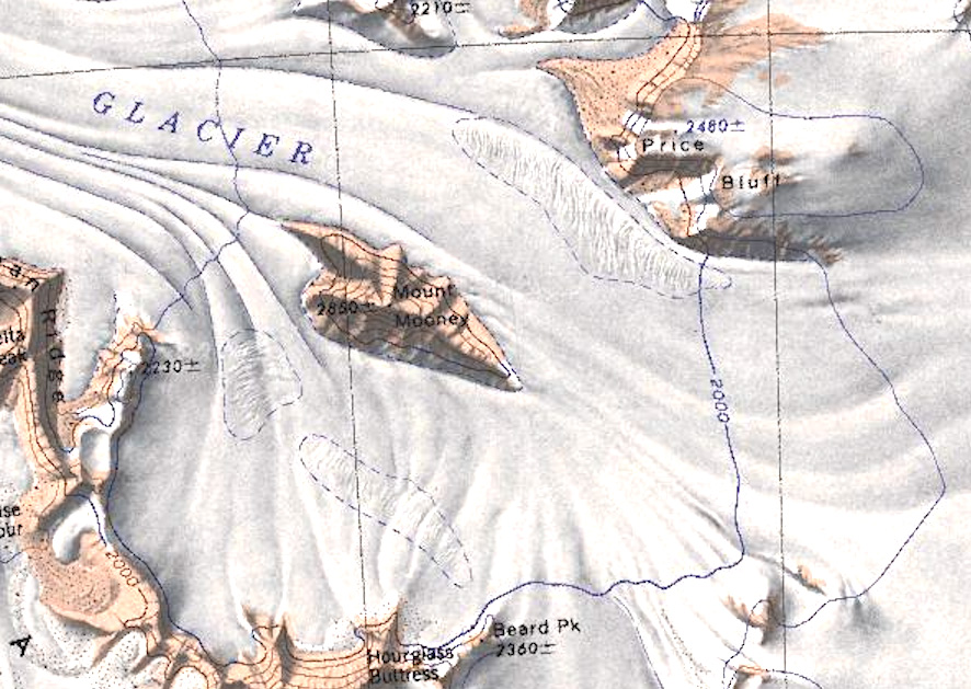
- Mount Mooney.jpg 886 × 629; 249 KB
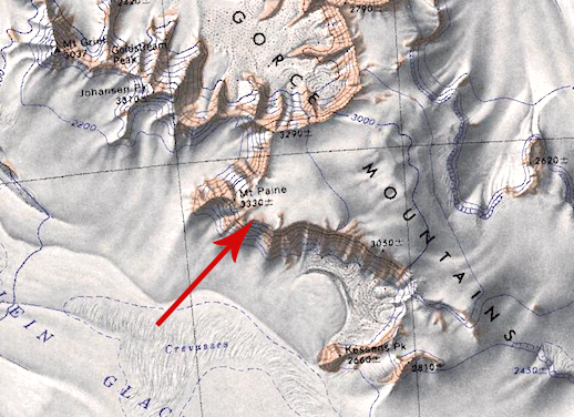
- Mount Paine.jpg 518 × 376; 224 KB
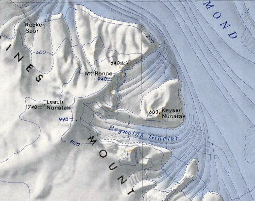
- Mount Ronne.png 525 × 413; 471 KB
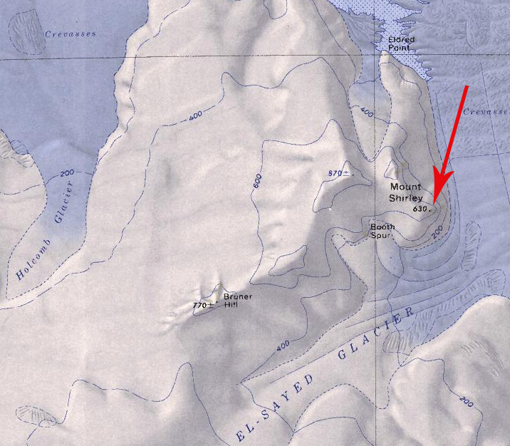
- Mount Shirley.jpg 716 × 626; 149 KB
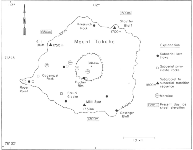
- Mount Takahe Geology.png 809 × 630; 138 KB
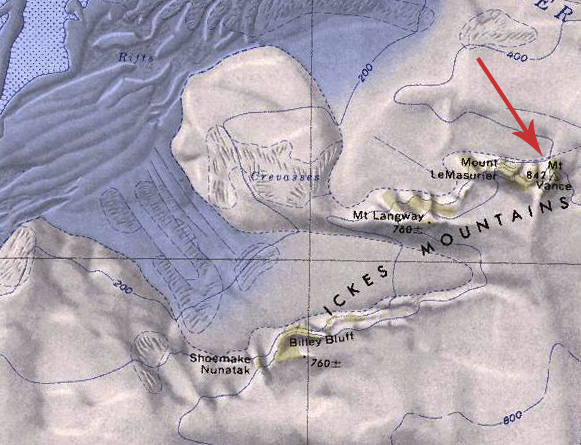
- Mount Vance.jpg 581 × 445; 181 KB
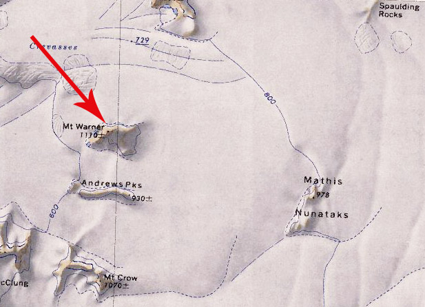
- Mount Warner.jpg 617 × 446; 93 KB
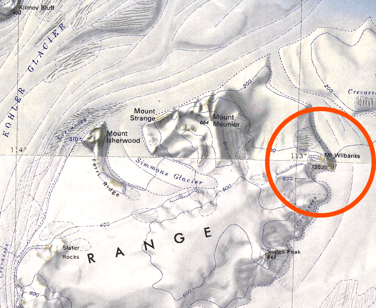
- Mount Wilbanks.jpg 764 × 626; 448 KB
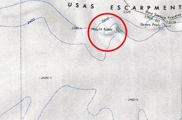
- Mount-Aldaz.jpg 597 × 396; 186 KB
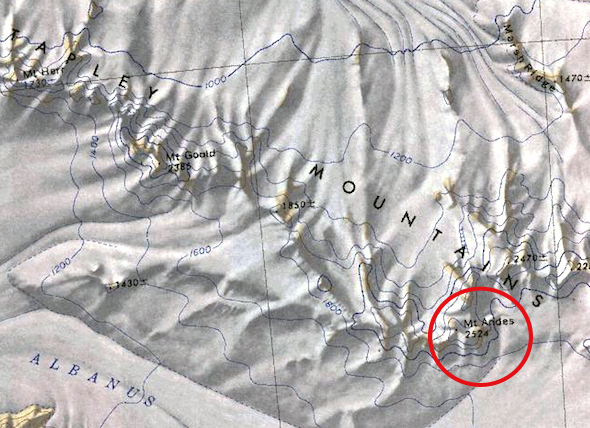
- Mount-Andes.jpg 590 × 428; 258 KB
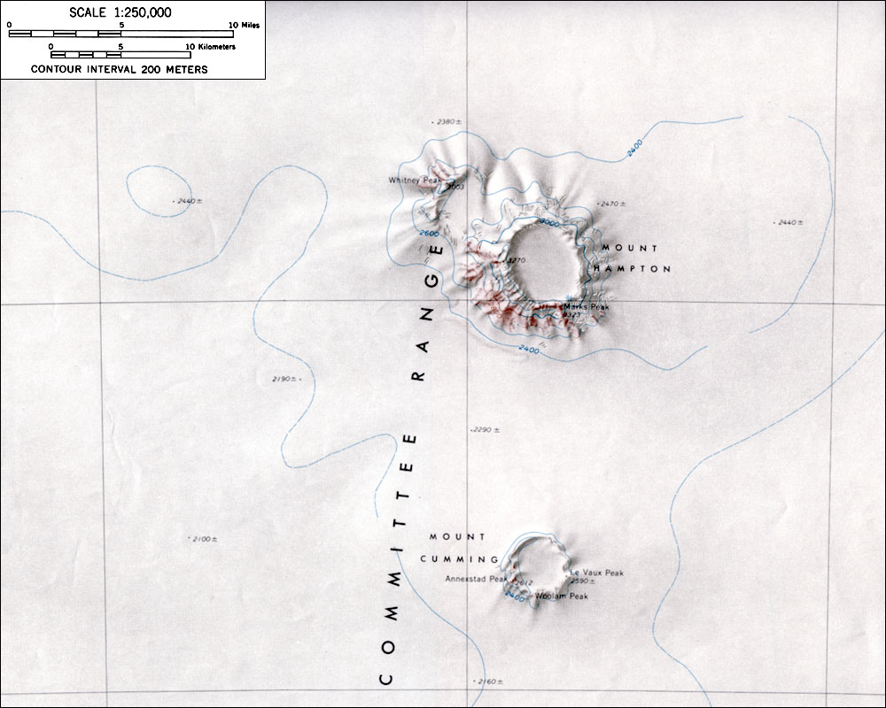
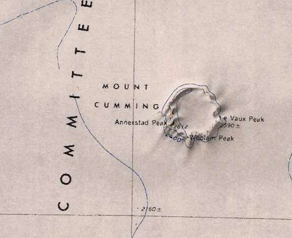
- Mount-Cumming.png 575 × 469; 421 KB
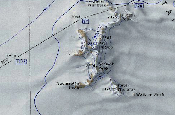
- Mount-Petras.png 584 × 385; 439 KB
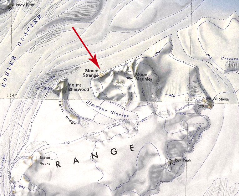
- Mount-Strange.jpg 764 × 626; 460 KB
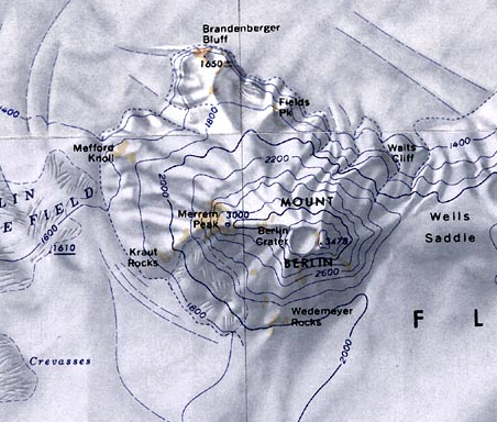
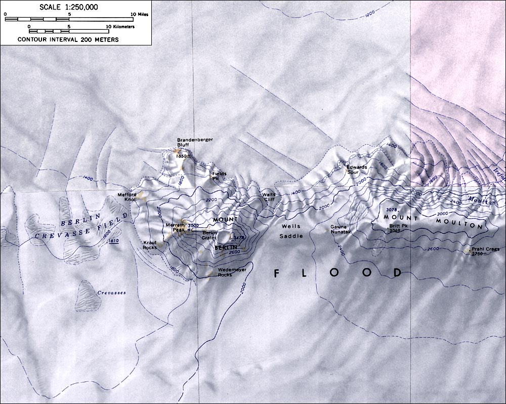
- MountBerlinMap.jpg 1,000 × 800; 179 KB
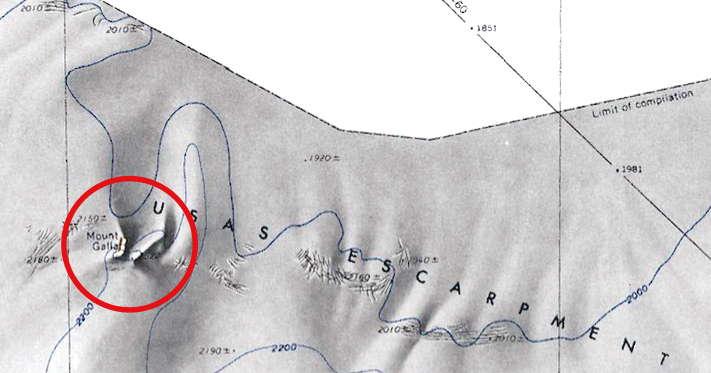
- MountGalla.jpg 711 × 373; 185 KB
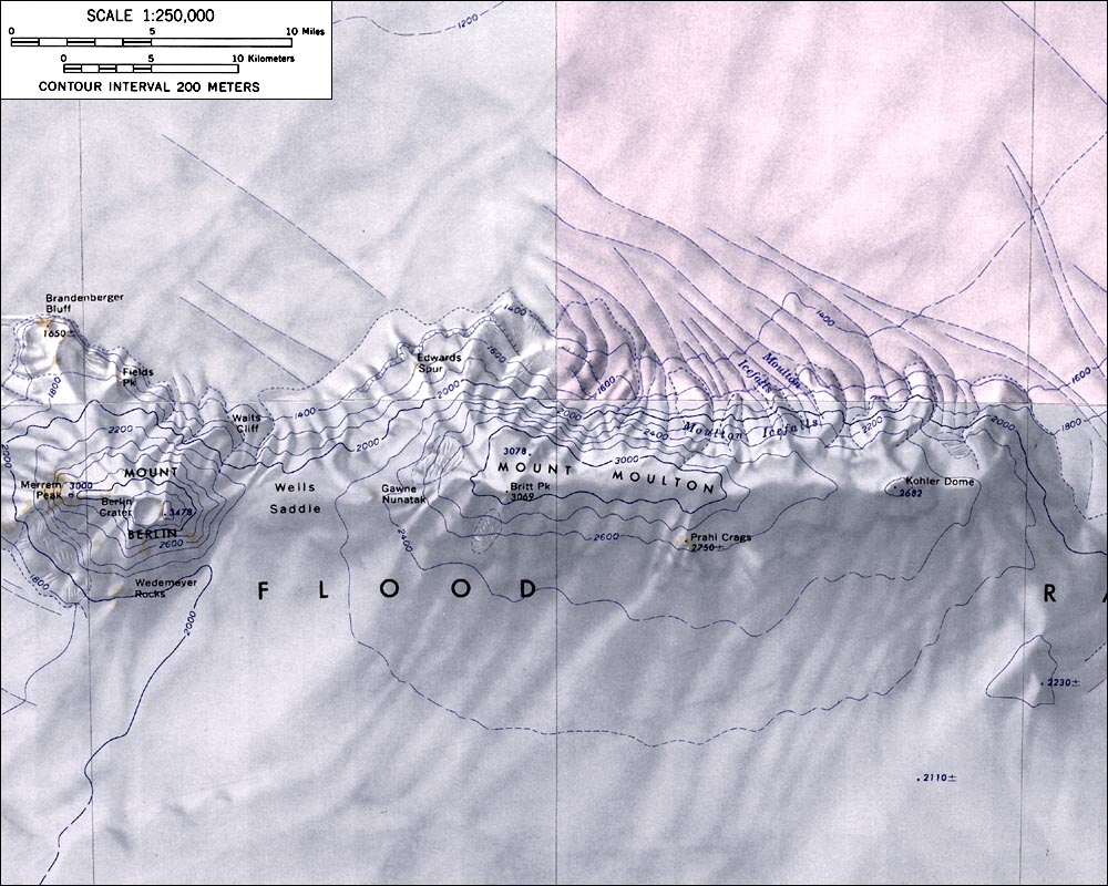
- MountMoultonMap.jpg 1,000 × 800; 172 KB
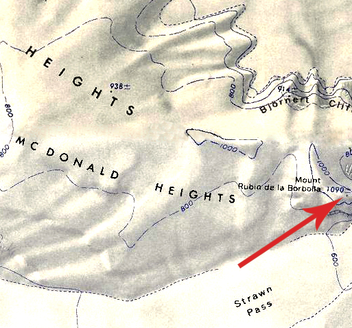
- MountRubin.jpg 513 × 478; 279 KB
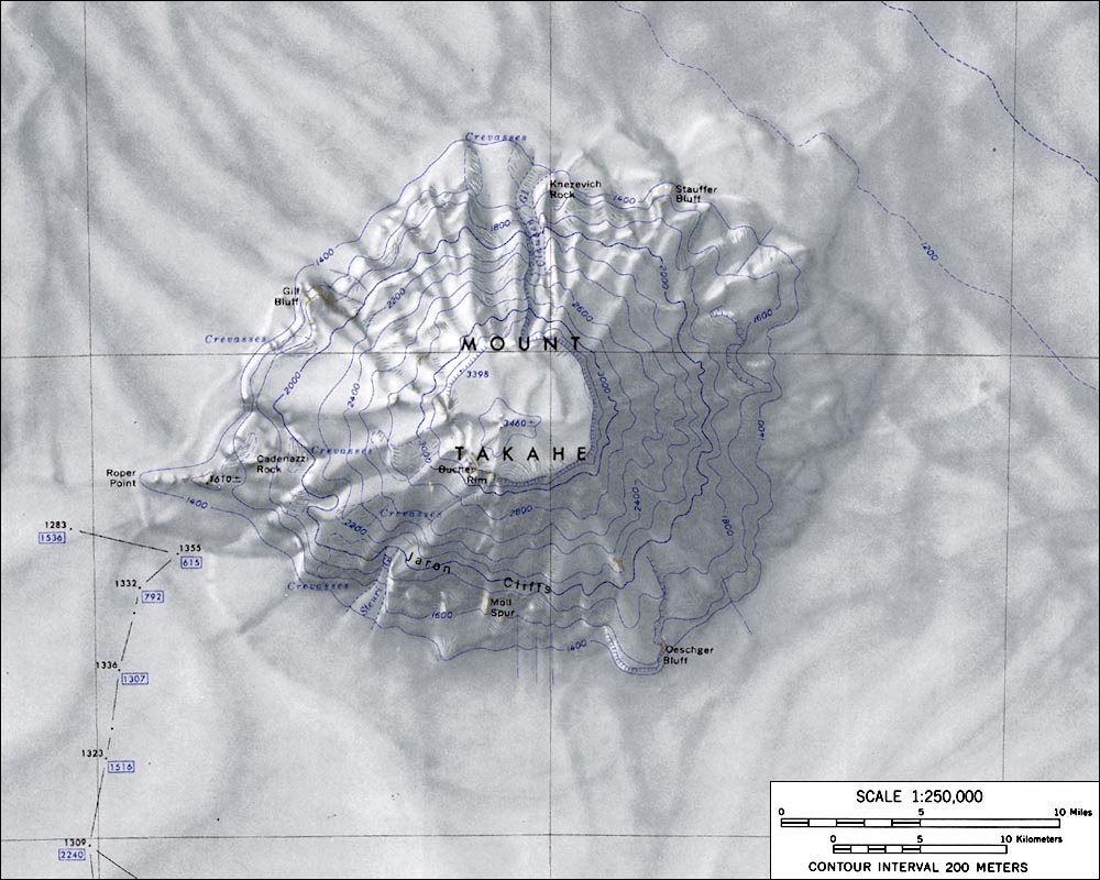
- MountTakaheMap.jpg 1,000 × 800; 139 KB
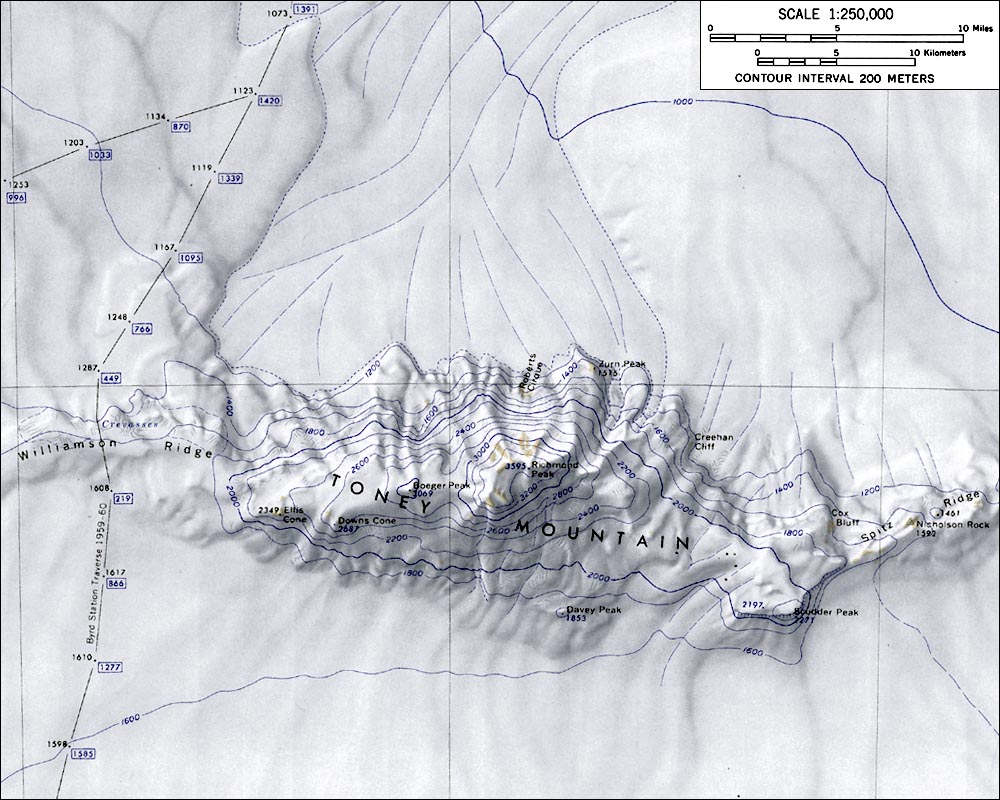
- MountToneyMap.jpg 1,000 × 800; 154 KB
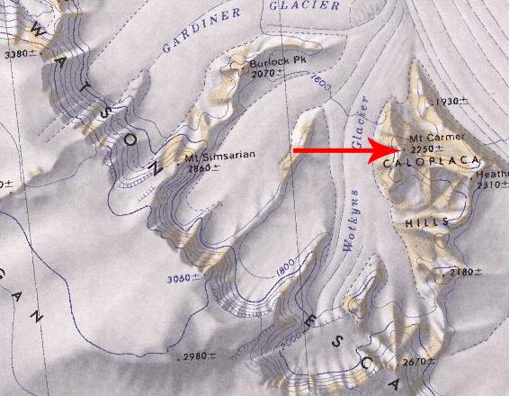
- Mt Carmer.jpg 566 × 440; 143 KB
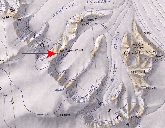
- Mt Simsarian.jpg 566 × 440; 143 KB
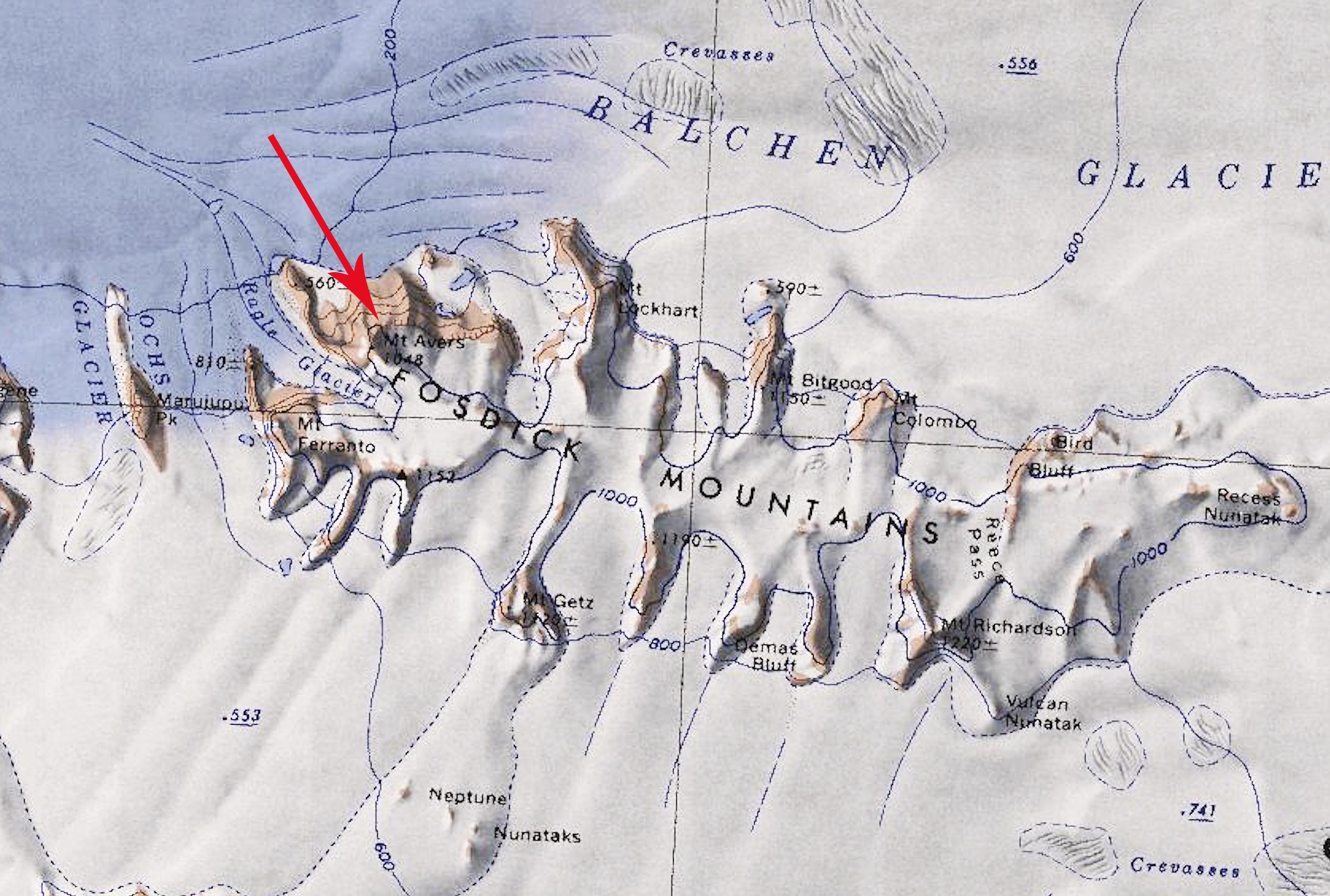
- Mt-Avers copy.jpg 2,858 × 1,926; 554 KB
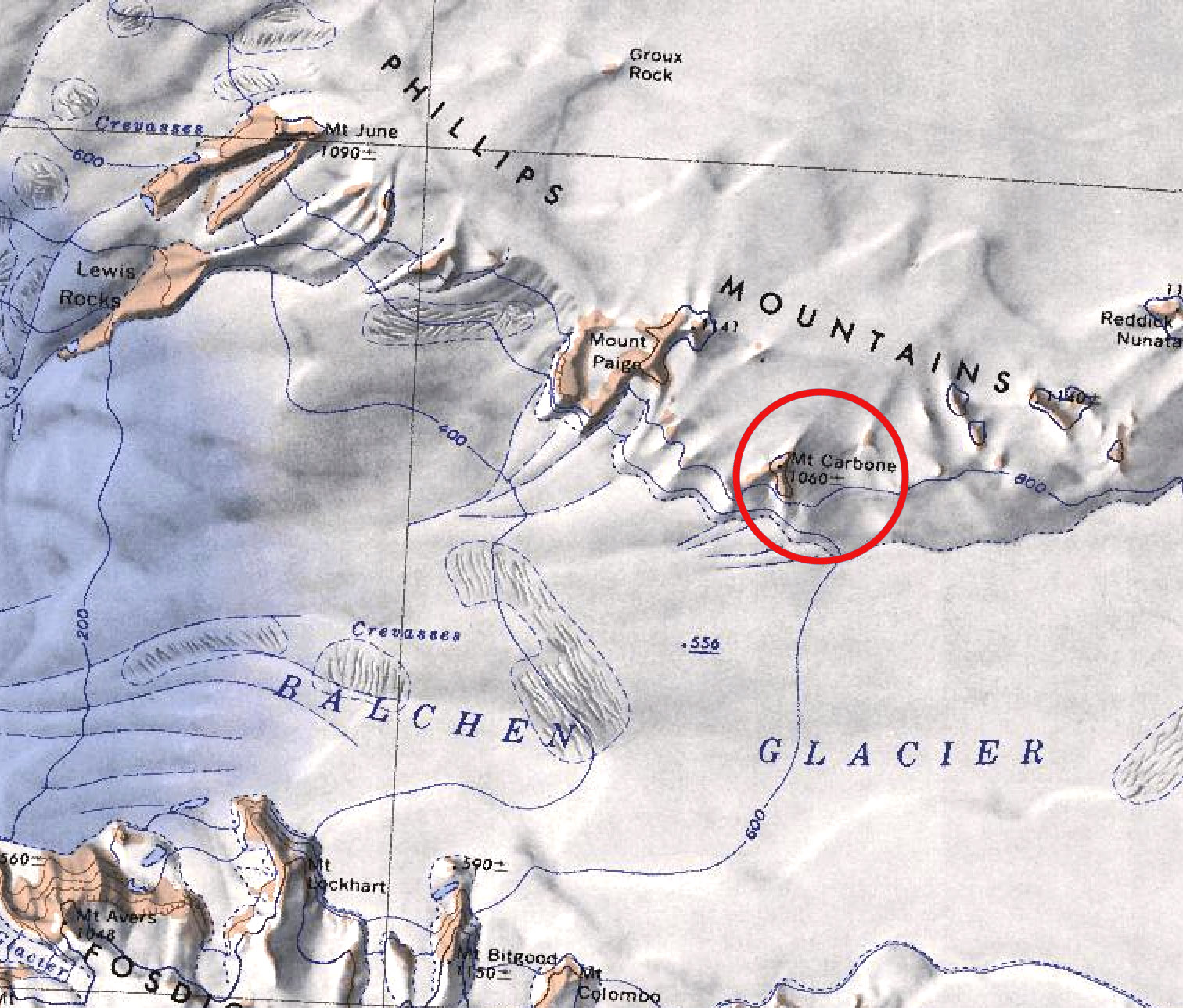
- Mt-Carbone.jpg 1,512 × 1,288; 480 KB
- Mt-Cumming-Close.png 313 × 234; 100 KB
- Mt-Perkins.png 718 × 458; 658 KB
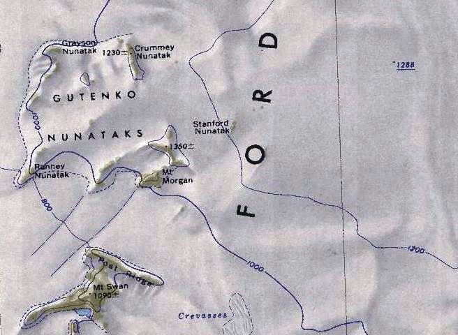
- Mt-Swan-Map.jpg 656 × 480; 70 KB
- MTVanDeVer.jpg 1,098 × 776; 338 KB
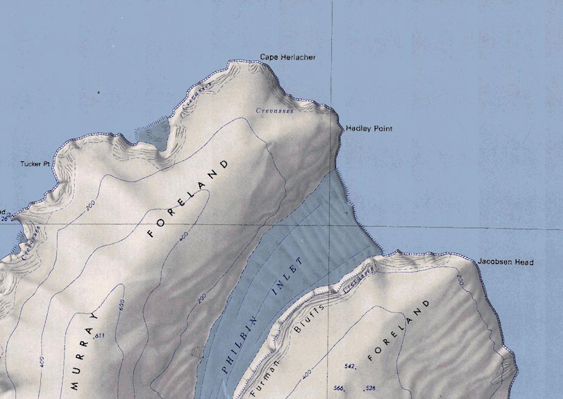
- Murray Foreland.png 811 × 574; 792 KB
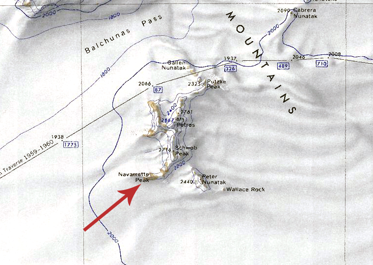
- Navarette Peak.jpg 760 × 541; 352 KB
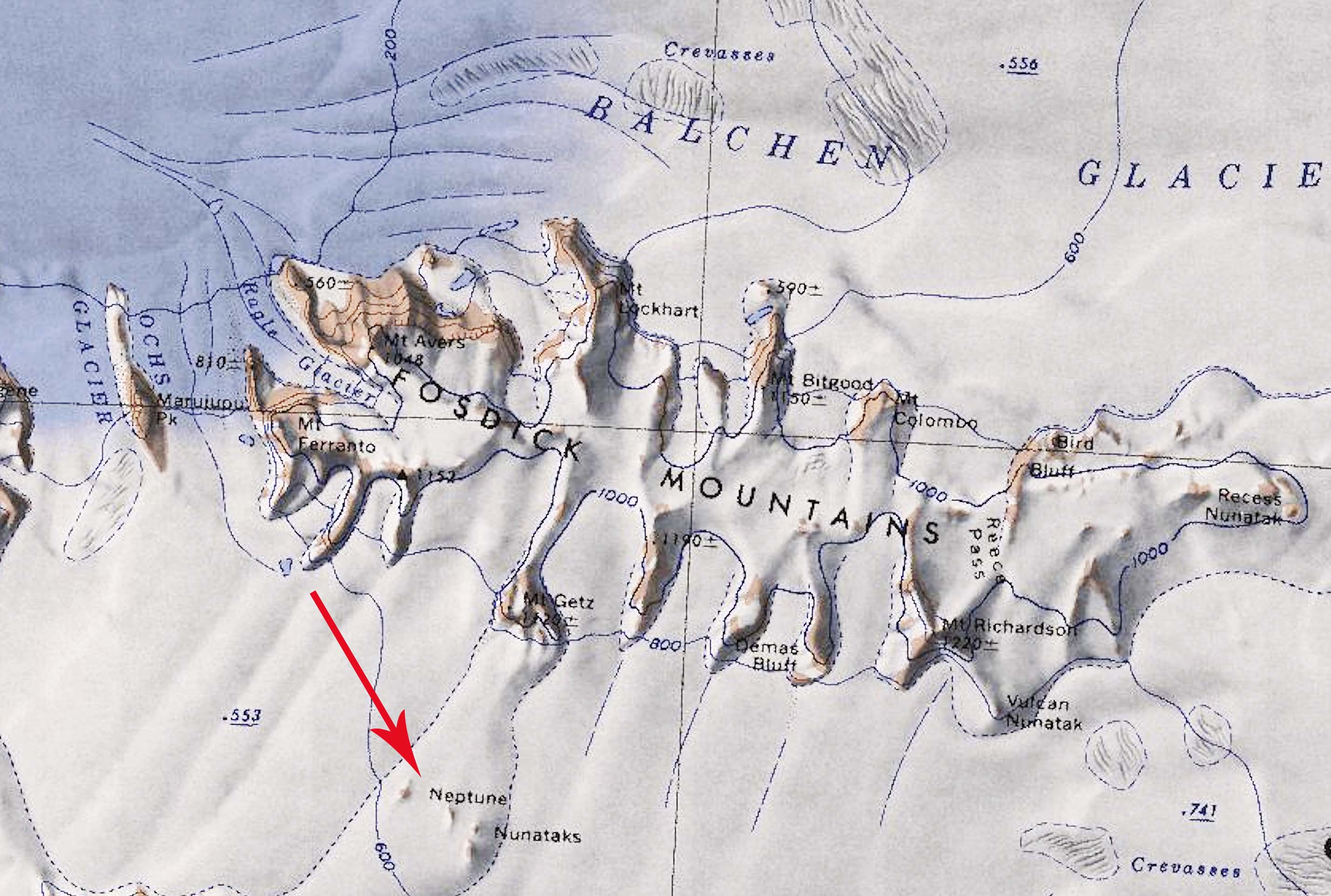
- Neptune.jpg 2,858 × 1,926; 452 KB
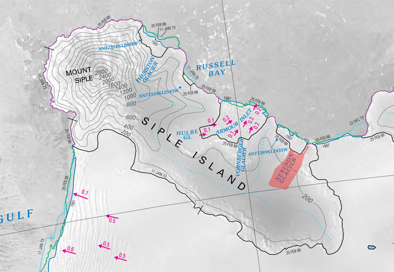
- Nereson Glacier.jpg 783 × 542; 272 KB
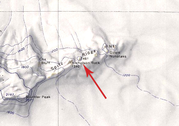
- Nicholson Rock.jpg 586 × 414; 104 KB
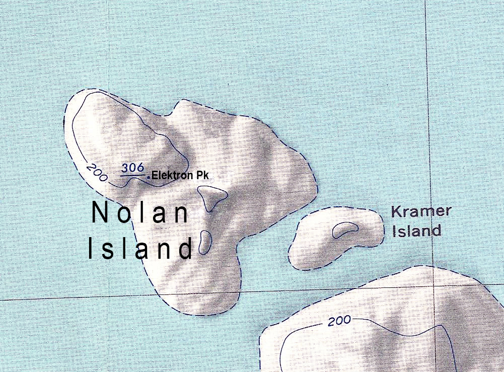
- Nolan Island update.jpg 1,001 × 739; 940 KB
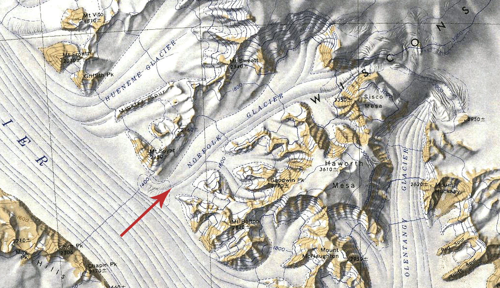
- Norfolk Glacier Map.jpg 1,620 × 934; 759 KB
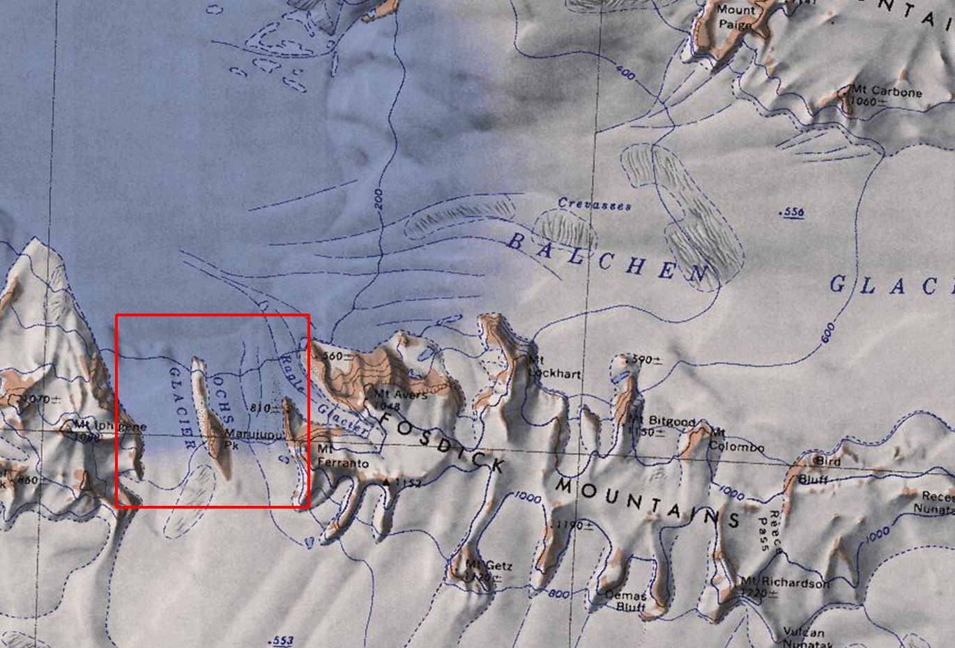
- Ochs-Glacier.jpg 1,370 × 930; 219 KB
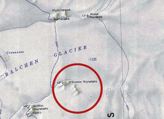
- Oconner-Nun.jpg 559 × 407; 205 KB
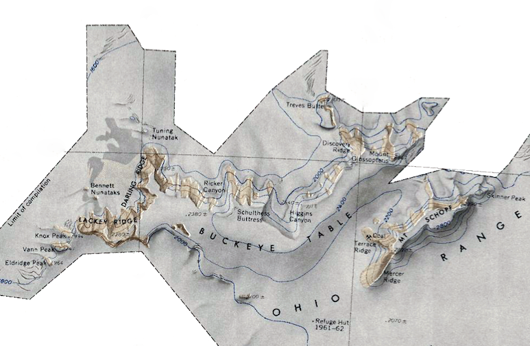
- Ohio-Range.png 773 × 504; 517 KB
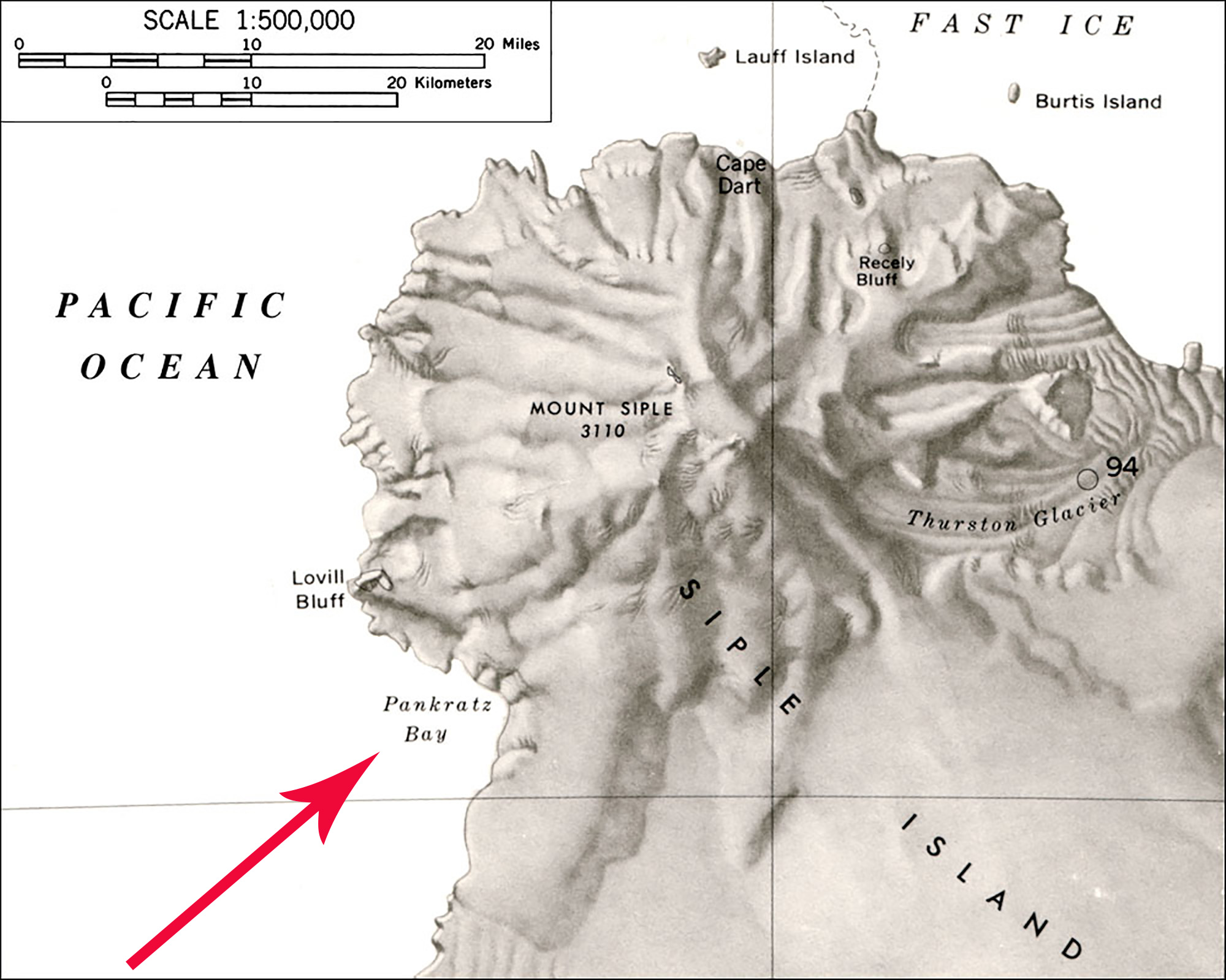
- Pankratz Bay Map.jpg 2,000 × 1,600; 411 KB
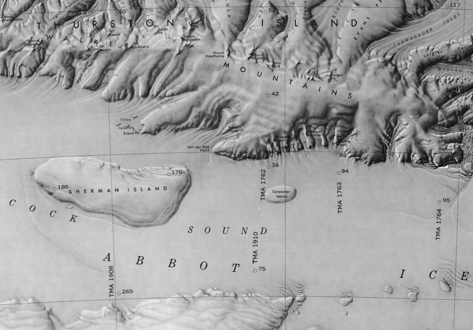
- Peacock Sound-Islands.png 949 × 663; 781 KB
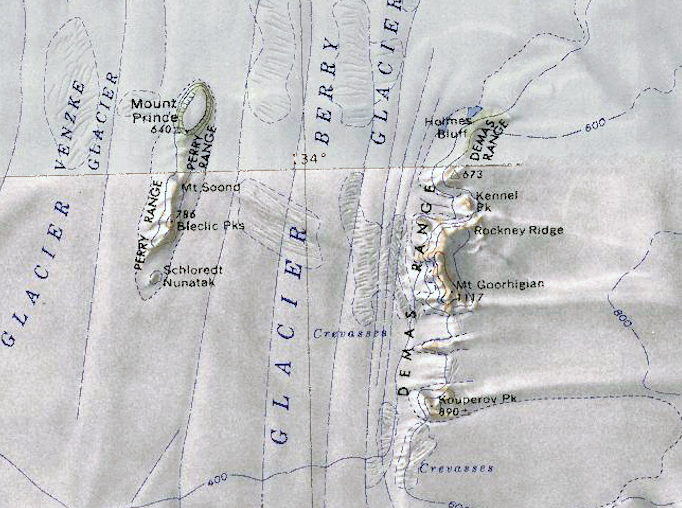
- Perry-Demas-Range.png 682 × 508; 738 KB
