File:Calsahara NM.jpg
Jump to navigation
Jump to search
Size of this preview: 691 × 599 pixels. Other resolutions: 2,362 × 2,048 pixels | 3,093 × 2,682 pixels.
Original file (3,093 × 2,682 pixels, file size: 646 KB, MIME type: image/jpeg)
Summary
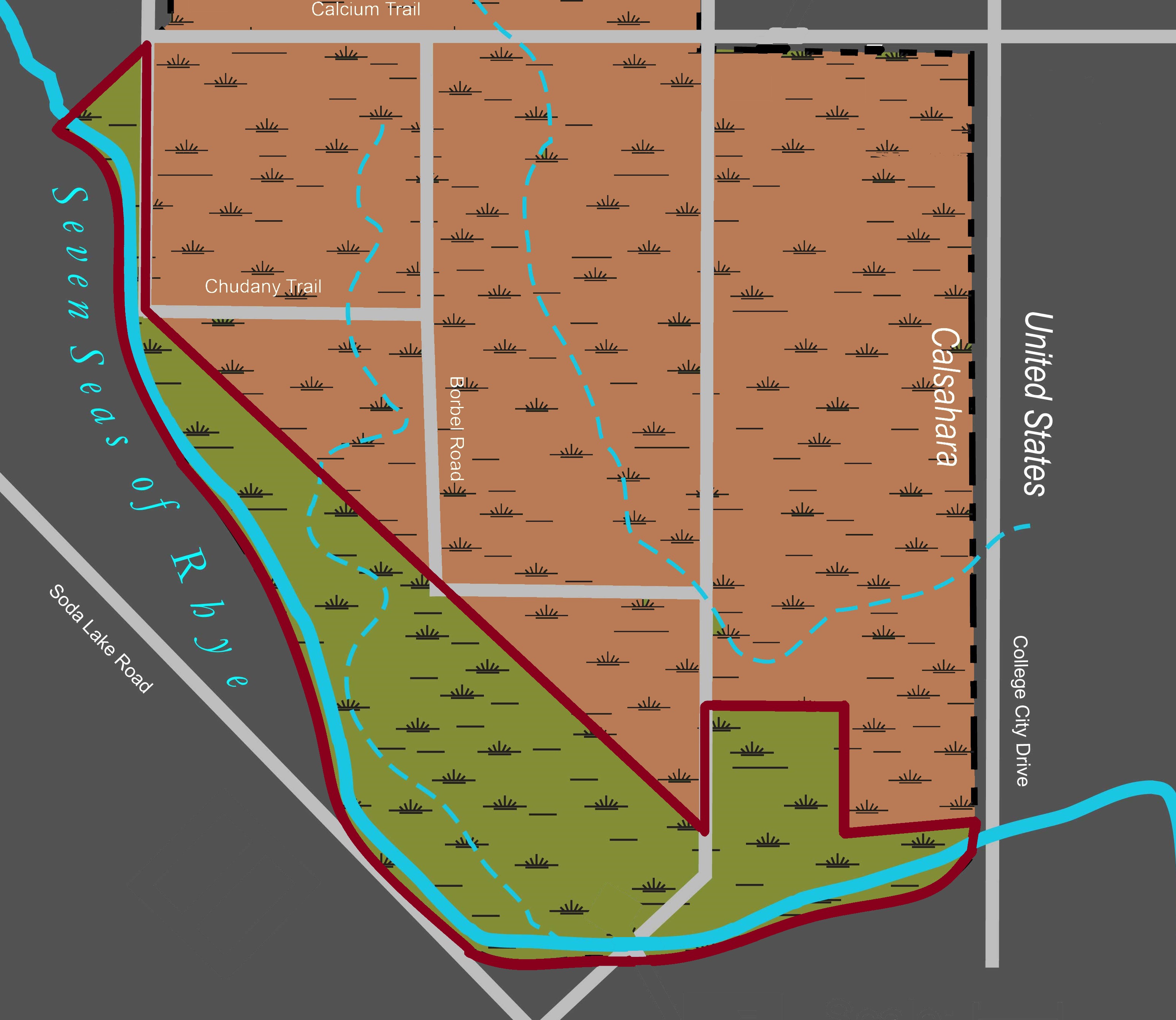
A Map depicting the territory designated as Calsahara National Monument (highlighted in green).
Licensing

You are welcome to copy, modify, and distribute the work, even for commercial purposes, all without asking permission or notifying the work's author. |
File history
Click on a date/time to view the file as it appeared at that time.
| Date/Time | Thumbnail | Dimensions | User | Comment | |
|---|---|---|---|---|---|
| current | 20:52, 12 August 2025 | | 3,093 × 2,682 (646 KB) | DukeBearPeninsula (talk | contribs) | A Map depicting the territory designated as Calsahara National Monument (highlighted in green). |
You cannot overwrite this file.
File usage
The following page uses this file: