File:Cherry-Island.jpg
Jump to navigation
Jump to search
No higher resolution available.
Cherry-Island.jpg (750 × 472 pixels, file size: 181 KB, MIME type: image/jpeg)
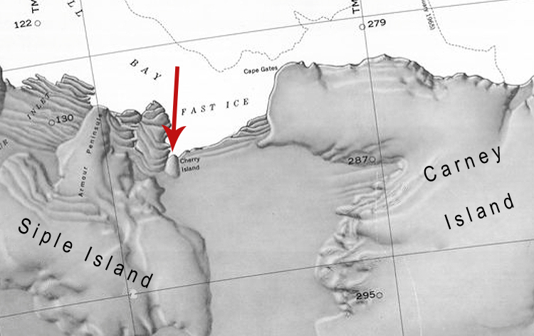
Map showing the location of Cherry Island between Siple Island and Carney Island off the coast of Antarctica.
File history
Click on a date/time to view the file as it appeared at that time.
| Date/Time | Thumbnail | Dimensions | User | Comment | |
|---|---|---|---|---|---|
| current | 06:46, 22 April 2019 | | 750 × 472 (181 KB) | Westarctica (talk | contribs) |
You cannot overwrite this file.
File usage
The following page uses this file: