File:Antarctic Peninsula-poormap.jpg
Revision as of 08:13, 23 April 2018 by Westarctica (talk | contribs)
Size of this preview: 660 × 600 pixels. Other resolution: 1,074 × 976 pixels.
Original file (1,074 × 976 pixels, file size: 222 KB, MIME type: image/jpeg)
Description
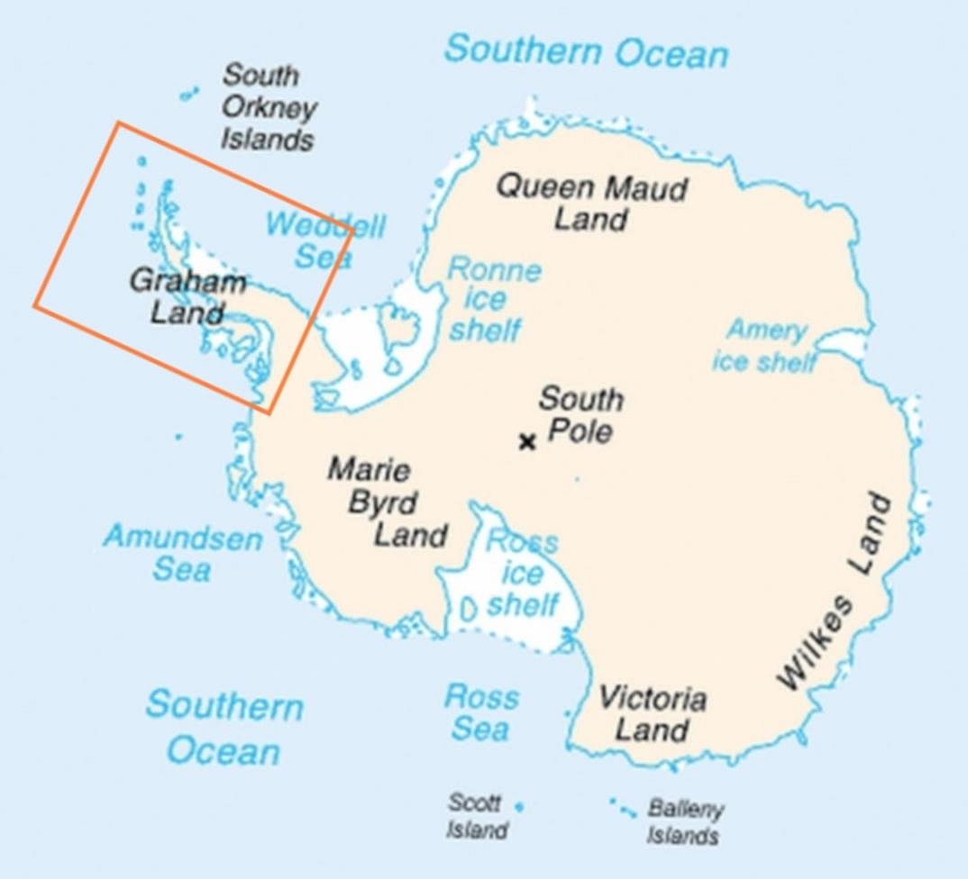
Map of Antarctica indicating location of Antarctic Peninsula. Date 6 April 2009, 00:04 (UTC) Source
Map-antarctica-ross-ice-shelf-red-x.png
Author
   Map-antarctica-ross-ice-shelf-red-x.png: *Antarctica_Map.png
   derivative work: -- Jeandré, 2009-02-16t17:22z
   derivative work: Anna Frodesiak (talk)
Source: Wikimedia Commons
File history
Click on a date/time to view the file as it appeared at that time.
| Date/Time | Thumbnail | Dimensions | User | Comment | |
|---|---|---|---|---|---|
| current | 08:13, 23 April 2018 | | 1,074 × 976 (222 KB) | Westarctica (talk | contribs) |
You cannot overwrite this file.
File usage
The following page uses this file: