File:Grand-Shepard-Map.png
Revision as of 06:47, 18 April 2018 by Westarctica (talk | contribs)
No higher resolution available.
Grand-Shepard-Map.png (748 × 562 pixels, file size: 662 KB, MIME type: image/png)
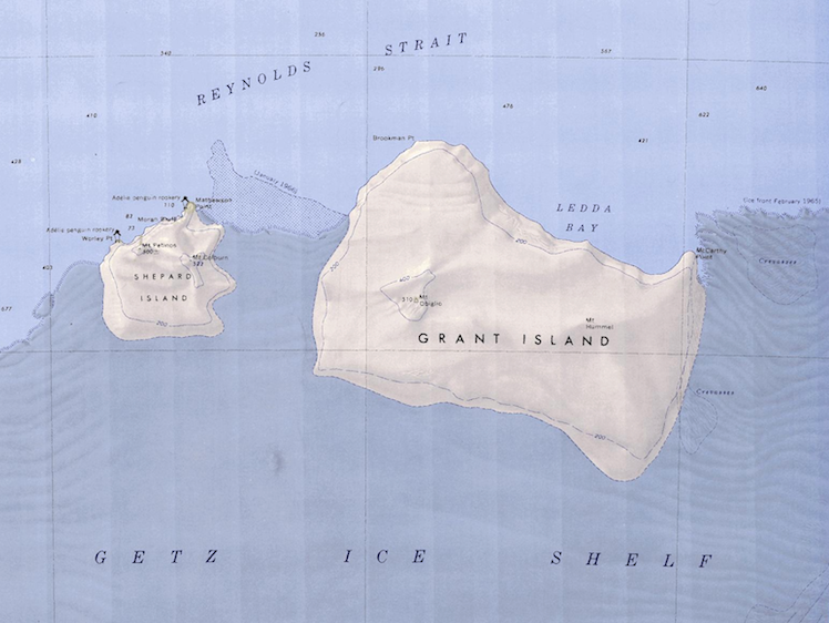
Map showing Grand Island and Shepard Island together.
File history
Click on a date/time to view the file as it appeared at that time.
| Date/Time | Thumbnail | Dimensions | User | Comment | |
|---|---|---|---|---|---|
| current | 06:47, 18 April 2018 | | 748 × 562 (662 KB) | Westarctica (talk | contribs) |
You cannot overwrite this file.
File usage
The following page uses this file: