Difference between revisions of "File:Ferrero Bay Map.jpg"
Jump to navigation
Jump to search
Westarctica (talk | contribs) |
(No difference)
|
Latest revision as of 14:10, 21 June 2024
Description: Map showing Ferrero Bay and the Cosgrove Ice Shelf.
File history
Click on a date/time to view the file as it appeared at that time.
| Date/Time | Thumbnail | Dimensions | User | Comment | |
|---|---|---|---|---|---|
| current | 14:10, 21 June 2024 | 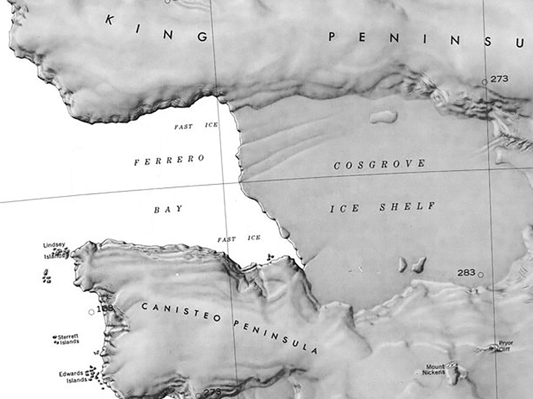 | 1,851 × 1,386 (486 KB) | Westarctica (talk | contribs) |
You cannot overwrite this file.
File usage
The following 2 pages use this file: