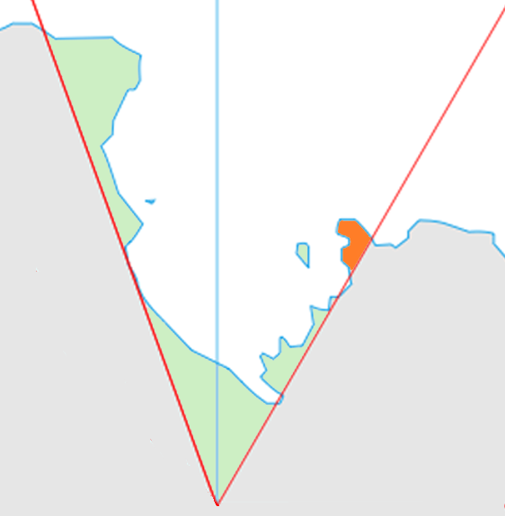
Edward VII Peninsula
King Edward VII Land or King Edward VII Peninsula is a large, ice-covered peninsula which projects from the northwestern extremity of Westarctica into the Ross Sea between Sulzberger Bay and the northeast corner of the Ross Ice Shelf, and forms part of the Ross Dependency.
Edward VII Peninsula is defined by the Ross Ice Shelf on the southwest, Okuma Bay, the Prestrude Inlet, and Sulzberger Bay, all essentially on the Ross Sea.
Discovery and name
Edward VII Peninsula was discovered on 30 January 1902 by the British National Antarctic Expedition (BrNAE) (1901–1904) under Robert Falcon Scott, who named it King Edward VII Land for King Edward VII of the United Kingdom.
The coastline was further explored by the Nimrod Expedition under Ernest Shackleton in 1908-09, and the first landfall was made by a party of the Japanese Antarctic Expedition led by Shirase Nobu in 1912. The region was renamed "Edward VII Peninsula" after the peninsular character of the region was determined by exploration conducted by the Byrd Antarctic Expedition (1933–1935) and the United States Antarctic Service (USAS)
