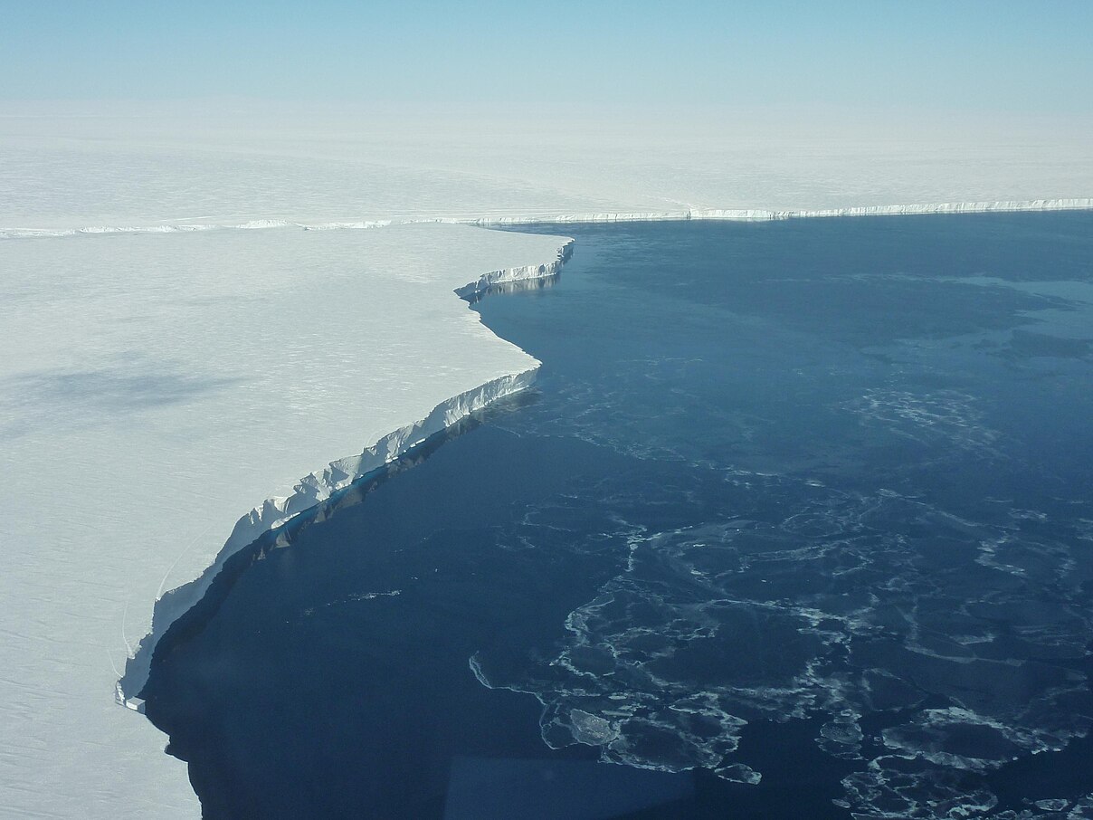
Boyd Glacier Conservation Zone
The Boyd Glacier Conservation Zone (77°14′S 145°25′W) is a protected area of Westarctica created to preserve Boyd Glacier and its surrounding area. It was created via Royal Decree on 20 April 2005 by Grand Duke Travis. It falls under the oversight of the Westarctican Parks Service.
History
The glacier was discovered on aerial flights of the Byrd Antarctic Expedition in 1934, and named for Vernon D. Boyd, an expedition machinist, and a member of West Base of the United States Antarctic Service.
Boyd Glacier was on the January 2024 list of ten sites that should be considered for eventual protection as a national park of Westarctica. The glacier was identified primarily for its size, striking scenery, stability and coastal location. These factors were deemed to make Boyd an ideal candidate for successful conservation balance against the increased visitation in ecotourism that eventual national park designation would require.
It was on the list of five recommended areas to protect made by Jordan Farmer to Grand Duke Travis in March of 2025. On 20 April 2025, Grand Duke Travis declared Boyd Glacier a conservation zone under the oversight of the Westarctican Parks Service. There are already legislative efforts to enshrine Boyd Glacier as a national park, by combining it with Billboard National Monument, which it borders.
Conservans Protectorem
Those nobles whose titles were named for features within the memorial when it was established were afforded the additional honorific Conservans Protectorem to use in conjunction with said title. Boyd Glacier Conservation Zone did not grant any Peers this honorific.
Features
Boyd Glacier Conservation Zone protects the glacier itself, including its outlet into the waters of the Marshall Archipelago, the Swope Glacier, and the surrounding peninsula running from Mount Woodward to Mount Douglass.
Key locations
- Boyd Glacier (77°14′S 145°25′W) is a heavily crevassed glacier flowing west-northwest for about 45 nautical miles (83 km; 52 mi) to the Sulzberger Ice Shelf between Bailey Ridge and Mount Douglass in the Ford Ranges. Discovered on aerial flights of the ByrdAE in 1934, and named for Vernon D. Boyd, expedition machinist, and a member of West Base of the USAS (1939–41).
- Mount Douglass (77°20′S 145°20′W) is an ice-covered mountain 8 nautical miles (15 km; 9.2 mi) east-southeast of Mount Woodward on the south side of Boyd Glacier. Discovered in 1934 on aerial flights of the ByrdAE. Named for Malcolm C. Douglass, dog driver at West Base of the USAS (1939–41).
- Mount Kohler (77°17′S 145°35′W) is a mountain 480 metres (1,570 ft) high on the south side of Boyd Glacier, 4 nautical miles (7.4 km; 4.6 mi) east of Mount Woodward. Mapped by USAS (1939–41) led by R. Admiral R.E. Byrd. Named for Herbert V. Kohler, Jr., and Ruth DeYoung Kohler II, son and daughter of Herbert V. Kohler, financial contributors to the ByrdAE, 1933-35.
- Swope Glacier (77°20′S 145°50′W) is a glacier which drains westward from the Ford Ranges, between Mount Woodward and Mount West, into Sulzberger Ice Shelf. Features in these ranges were discovered and successively mapped by the ByrdAE (1928-30) and (1933-35) and by the USAS (1939-41) all led by R. Admiral R.E. Byrd. The glacier is named for Gerard Swope, president of General Electric, who contributed various types of electrical equipment to the ByrdAE (1933-35).
- Mount Woodward (77°18′S 145°47′W) is a mountain with broad twin summits standing between Hammond Glacier and Boyd Glacier, 6 nautical miles (11 km; 6.9 mi) west-northwest of Mount Douglass. Discovered by the ByrdAE (1928-30) and named for Donald Woodward, a patron of the expedition.
