File:Saugeais-Map.png
Revision as of 07:38, 23 April 2018 by Westarctica (talk | contribs)
Size of this preview: 540 × 599 pixels. Other resolution: 613 × 680 pixels.
Original file (613 × 680 pixels, file size: 480 KB, MIME type: image/png)
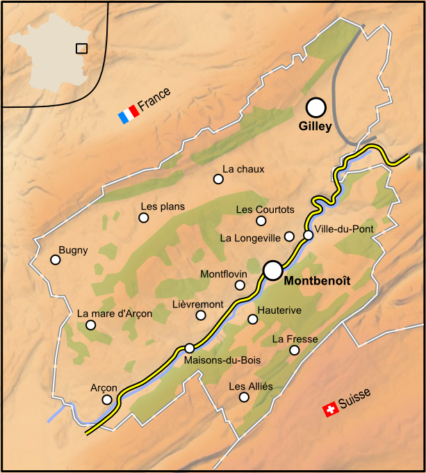
Description Français : Carte de la republique du Saugeais avec relief Date 7 September 2012, 17:26:56 Source Own work Author Jgaffuri
Source: Wikimedia Commons
File history
Click on a date/time to view the file as it appeared at that time.
| Date/Time | Thumbnail | Dimensions | User | Comment | |
|---|---|---|---|---|---|
| current | 07:38, 23 April 2018 | | 613 × 680 (480 KB) | Westarctica (talk | contribs) |
You cannot overwrite this file.
File usage
The following page uses this file: