Difference between revisions of "Breeding Nunatak"
Jump to navigation
Jump to search
Westarctica (talk | contribs) (Created page with "thumb|Map showing location of Breeding Nunatak '''Breeding Nunatak''' (77°4′S 142°28′W) is an isolated nunatak 10 nautical miles (19 km...") |
Westarctica (talk | contribs) |
||
| Line 1: | Line 1: | ||
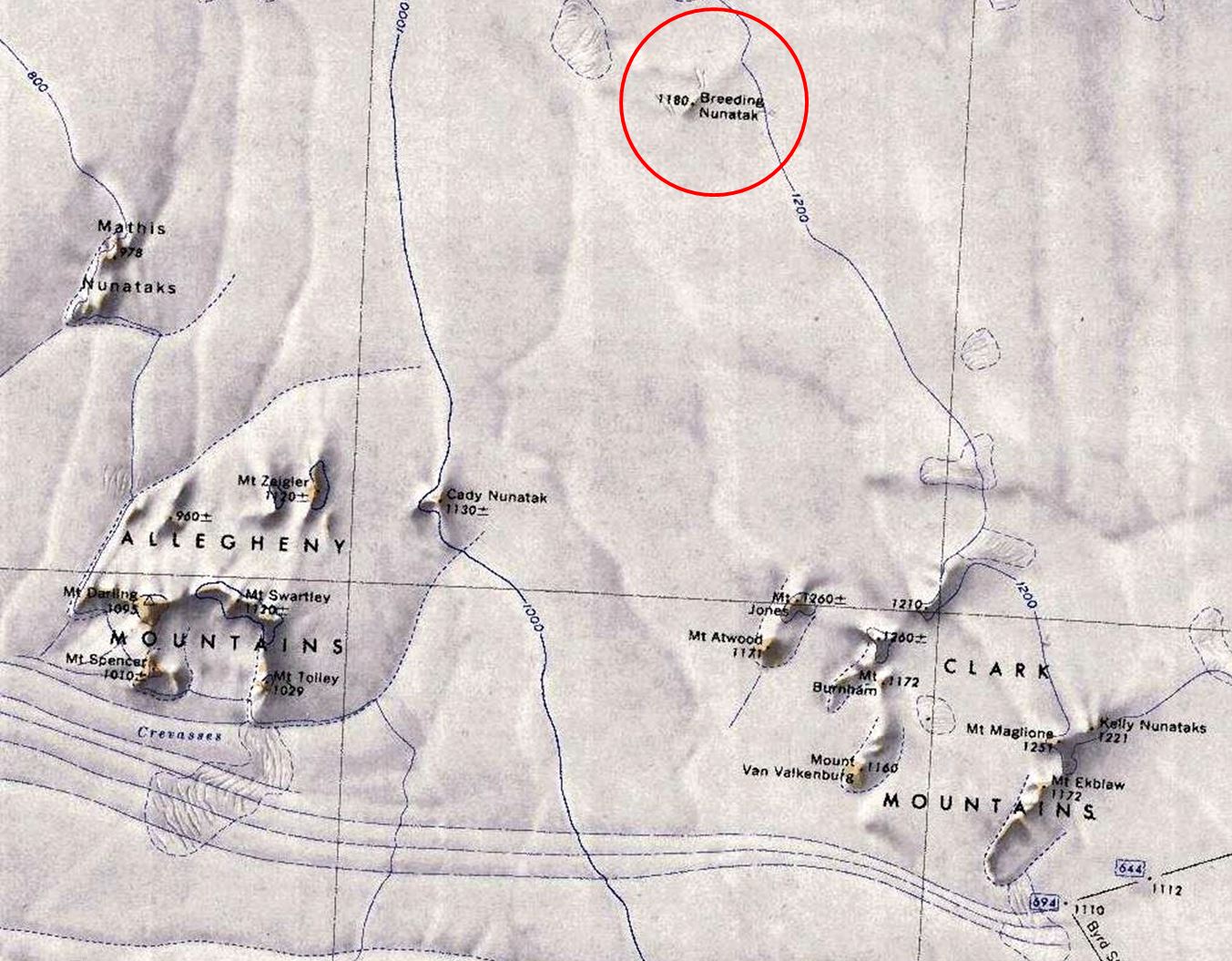
[[File:Breeding-Nunatak.jpg|thumb|Map showing location of Breeding Nunatak]] | [[File:Breeding-Nunatak.jpg|thumb|500px|Map showing location of Breeding Nunatak]] | ||
'''Breeding Nunatak''' (77°4′S 142°28′W) is an isolated [[nunatak]] 10 nautical miles (19 km) northeast of the [[Allegheny Mountains]] in the [[Ford Ranges]] of [[Westarctica]]. | '''Breeding Nunatak''' (77°4′S 142°28′W) is an isolated [[nunatak]] 10 nautical miles (19 km) northeast of the [[Allegheny Mountains]] in the [[Ford Ranges]] of [[Westarctica]]. | ||
Latest revision as of 22:41, 20 April 2018
Breeding Nunatak (77°4′S 142°28′W) is an isolated nunatak 10 nautical miles (19 km) northeast of the Allegheny Mountains in the Ford Ranges of Westarctica.
Mapping and name
It was mapped by the United States Geological Survey from surveys and from U.S. Navy air photos, 1959–65, and named by the Advisory Committee on Antarctic Names for George H. Breeding, storekeeper, U.S. Navy, of Byrd Station, 1967.
