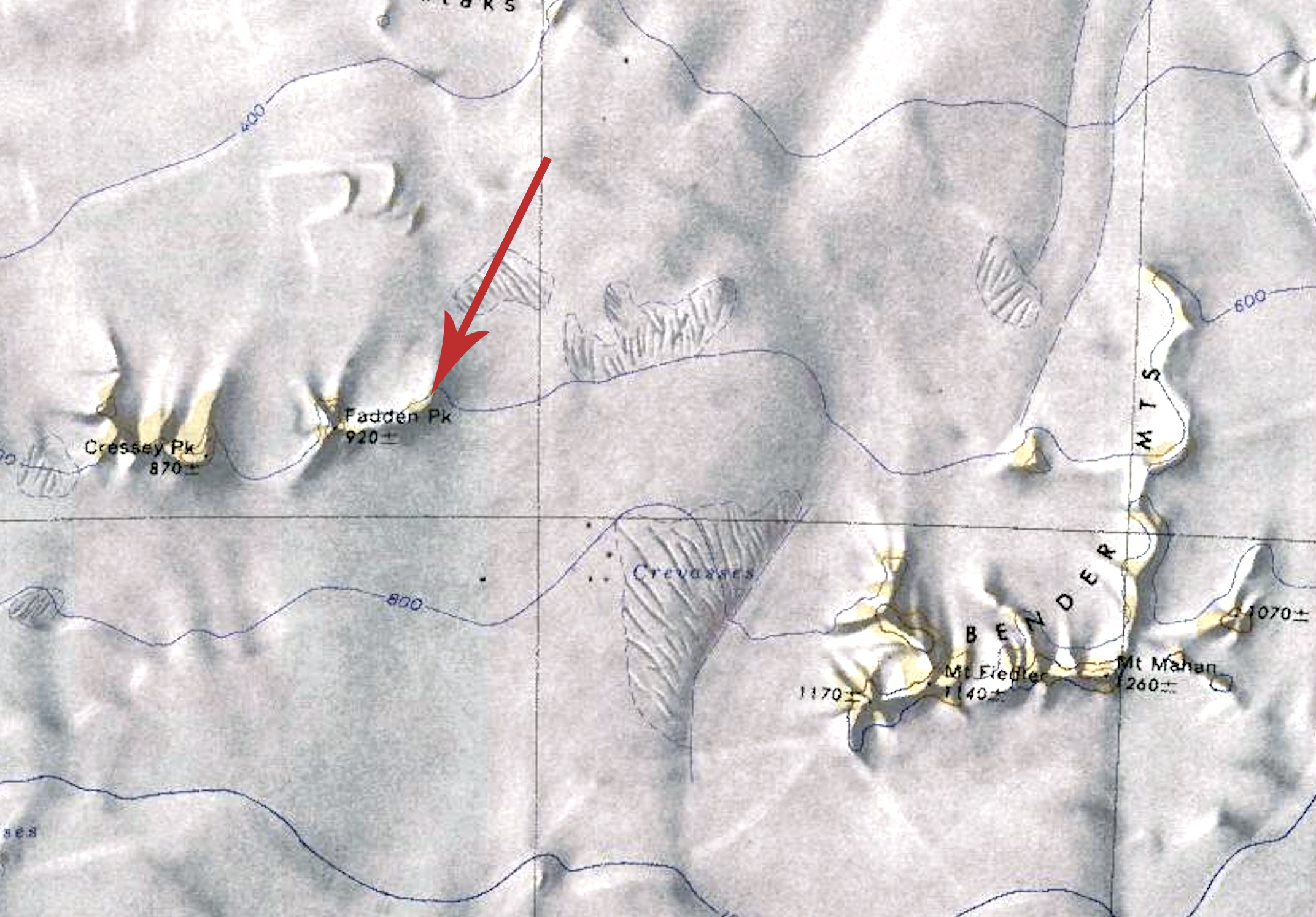
Fadden Peak
Revision as of 21:07, 20 October 2021 by Westarctica (talk | contribs) (Created page with "350px|thumb|Map of Fadden Peak with nearby Ivory Tower indicated by arrow '''Fadden Peak''' (85°29′S 142°43′W) is a peak, 920 meters (3,020...")
Fadden Peak (85°29′S 142°43′W) is a peak, 920 meters (3,020 ft) high, located 2 nautical miles (4 km) east of Cressey Peak, between the southeast edge of the Ross Ice Shelf and the Watson Escarpment. 1.5 miles (2.4 km) east sits a small mountain called Ivory Tower.
Name
It was named by the Advisory Committee on Antarctic Names for Dean E. Fadden, a utilitiesman with the Byrd Station winter party in 1958.
