File:Mount-Cumming.png
Jump to navigation
Jump to search
No higher resolution available.
Mount-Cumming.png (575 × 469 pixels, file size: 421 KB, MIME type: image/png)
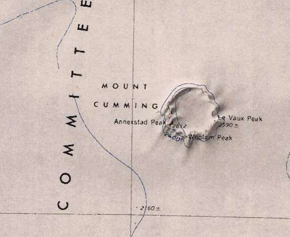
Map of Mount Cumming and surrounding geographic features.
Date of map creation: 1961
Author: U.S. Geographic Service with the National Science Foundation.
File history
Click on a date/time to view the file as it appeared at that time.
| Date/Time | Thumbnail | Dimensions | User | Comment | |
|---|---|---|---|---|---|
| current | 08:06, 16 January 2019 | | 575 × 469 (421 KB) | Westarctica (talk | contribs) |
You cannot overwrite this file.
File usage
The following page uses this file: