File:Cadenazzi-Map.jpg
Revision as of 20:06, 13 November 2018 by Westarctica (talk | contribs)
Size of this preview: 800 × 535 pixels. Other resolution: 853 × 570 pixels.
Original file (853 × 570 pixels, file size: 365 KB, MIME type: image/jpeg)
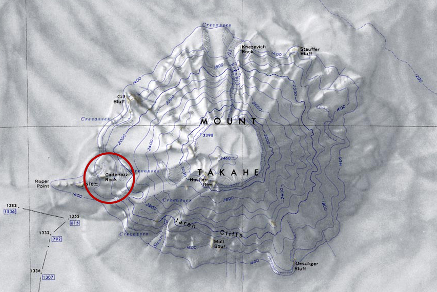
Map of Mount Takahe showing location of Cadenazzi Rock circled in red.
File history
Click on a date/time to view the file as it appeared at that time.
| Date/Time | Thumbnail | Dimensions | User | Comment | |
|---|---|---|---|---|---|
| current | 20:06, 13 November 2018 | | 853 × 570 (365 KB) | Westarctica (talk | contribs) |
You cannot overwrite this file.
File usage
The following page uses this file: