File:Cruzen-Island.png
Revision as of 04:59, 17 May 2018 by Westarctica (talk | contribs)
No higher resolution available.
Cruzen-Island.png (534 × 457 pixels, file size: 536 KB, MIME type: image/png)
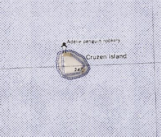
Map of Cruzen Island, north of Cape Burks.
File history
Click on a date/time to view the file as it appeared at that time.
| Date/Time | Thumbnail | Dimensions | User | Comment | |
|---|---|---|---|---|---|
| current | 04:59, 17 May 2018 | | 534 × 457 (536 KB) | Westarctica (talk | contribs) |
You cannot overwrite this file.
File usage
The following page uses this file: