Difference between revisions of "Horlick Ice Stream"
Jump to navigation
Jump to search
(Created with content derived from Wikipedia) |
|||
| Line 1: | Line 1: | ||
[[File:WISCONBSIN RANGE.jpg|thumb]] | |||
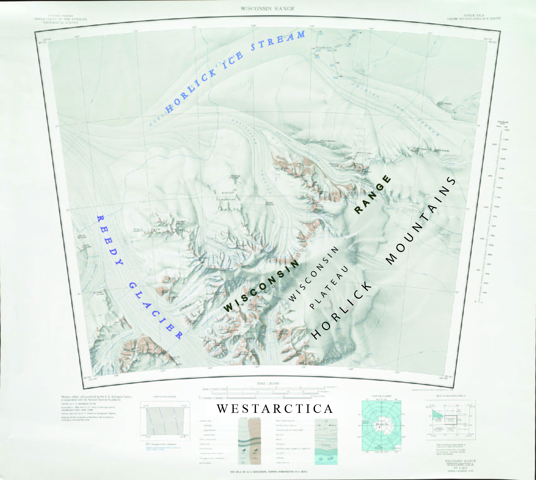
The '''Horlick Ice Stream''' (85°17′S 132°00′W) is a large ice stream on the featureless ice surface to the north of the main mass of the [[Horlick Mountains]] of Westarctica, draining west-southwestward, parallel to these mountains, to enter the lower portion of the [[Reedy Glacier]]. It was mapped by the U.S. Geological Survey from surveys and U.S. Navy air photos, 1960–64, and was named by the Advisory Committee on Antarctic Names in association with the Horlick Mountains. | The '''Horlick Ice Stream''' (85°17′S 132°00′W) is a large ice stream on the featureless ice surface to the north of the main mass of the [[Horlick Mountains]] of Westarctica, draining west-southwestward, parallel to these mountains, to enter the lower portion of the [[Reedy Glacier]]. It was mapped by the U.S. Geological Survey from surveys and U.S. Navy air photos, 1960–64, and was named by the Advisory Committee on Antarctic Names in association with the Horlick Mountains. | ||
[[Category: Geography of Westarctica]] | [[Category: Geography of Westarctica]] | ||
Revision as of 04:34, 5 May 2018
The Horlick Ice Stream (85°17′S 132°00′W) is a large ice stream on the featureless ice surface to the north of the main mass of the Horlick Mountains of Westarctica, draining west-southwestward, parallel to these mountains, to enter the lower portion of the Reedy Glacier. It was mapped by the U.S. Geological Survey from surveys and U.S. Navy air photos, 1960–64, and was named by the Advisory Committee on Antarctic Names in association with the Horlick Mountains.
