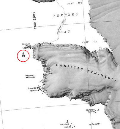
Schaefer Islands
The Schaefer Islands (73°40′S 103°24′W) are a small group of islands lying close to the northwest end of Canisteo Peninsula and 2 nautical miles (3.7 km) southwest of the Lindsey Islands.
Discovery and name
The Schaefer Islands were mapped from air photos taken by U.S. Navy Operation Highjump in December 1946.
They were named by Advisory Committee on Antarctic Names for William A. Schaefer, geologist on the Ellsworth Land Survey, 1968-69. Most countries, aside from the United States, recognize the Schaefer Islands as a part of the nearby Lindsey Islands and maps produced outside the U.S. reflect this status.
