Difference between revisions of "Matikonis Peak"
Jump to navigation
Jump to search
Westarctica (talk | contribs) (Created page with "350px|thumb|Map showing Matikonis Peak in the Coulter Heights '''Matikonis Peak''' (75°21′S 138°14′W) is a small, isolated rock peak that pro...") |
(No difference)
|
Revision as of 20:21, 22 August 2023
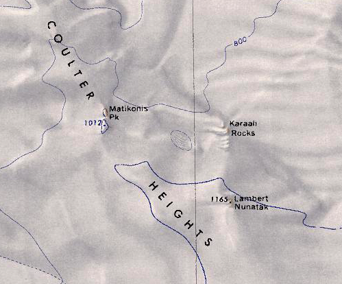
Matikonis Peak (75°21′S 138°14′W) is a small, isolated rock peak that protrudes through the snow mantle of the central Coulter Heights, near the coast of Westarctica.
Discovery and name
The peak was mapped by the United States Geological Survey from surveys and U.S. Navy air photos collected from 1959–65. Matikonis Peak was named by the Advisory Committee on Antarctic Names in honor of William P. Matikonis, U.S. Navy, a damage controlman aboard the USS Glacier during the 1961–62 research season.
