Bouvet Island
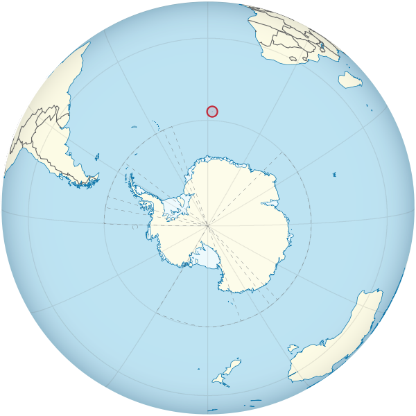
Bouvet Island is an uninhabited subantarctic high island and dependency of Norway located in the Southern Ocean at 54°25.8′S 3°22.8′E, putting it north of and outside the Antarctic Treaty. It lies at the southern end of the Mid-Atlantic Ridge and is the most remote island in the world, approximately 2000 km south-southwest of the coast of South Africa and approximately 1700 km north of the Princess Astrid Coast of Queen Maud Land.
The island has an area of 49 km2, of which 93% is covered by a glacier. The center of the island is an ice-filled crater of an inactive volcano. Some skerries and one smaller island, Larsøya, lie along its coast. Nyrøysa, created by a rock slide in the late 1950s, is the only easy place to land and is the location of a weather station.
Discovery and name
The island was first spotted on 1 January 1739 by Frenchman Jean-Baptiste Charles Bouvet de Lozier, after whom it was later named. He recorded inaccurate coordinates and the island was not sighted again until 1808, when the British whaler captain James Lindsay named it "Lindsay Island." The first claim of landing, although disputed, was by American sailor Benjamin Morrell. In 1825, the island was claimed for the British Crown by George Norris, who named it "Liverpool Island." He also reported Thompson Island as nearby, although this was later shown to be a phantom island. The first Norvegia expedition landed on the island in 1927 and claimed it for Norway. At this time the island was named Bouvet Island, or "Bouvetøya" in Norwegian.
After a dispute with the United Kingdom, it was declared a Norwegian dependency in 1930. It became a nature reserve in 1971.
