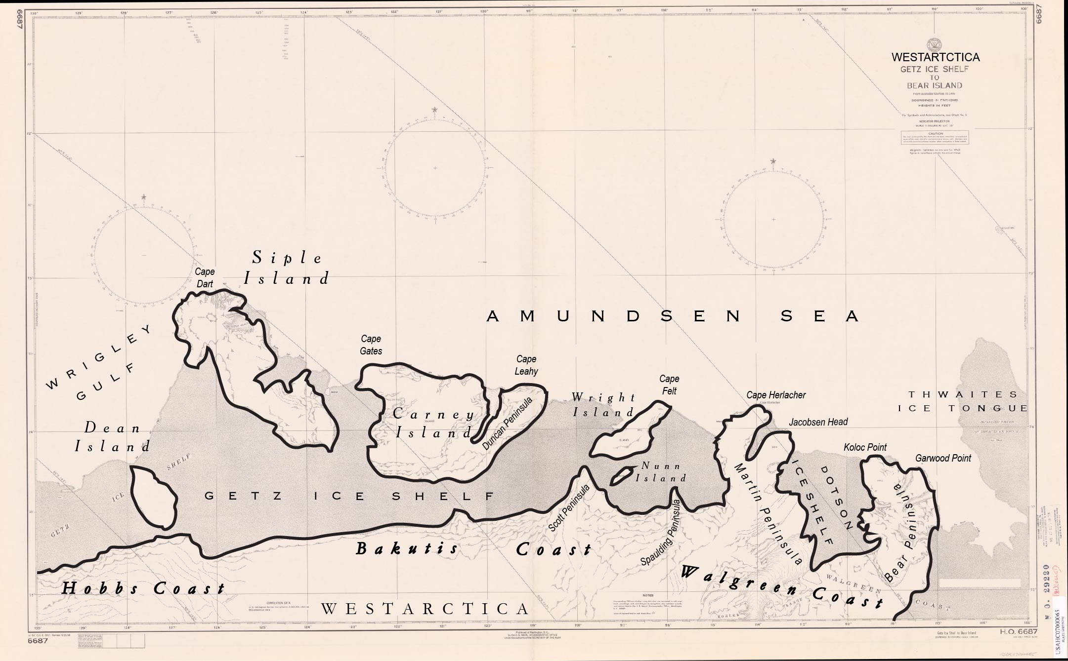
Cape Felt
Jump to navigation
Jump to search
Cape Felt (73°52′S 116°23′W) is an ice-covered cape which marks the north end of Wright Island, on the Bakutis Coast of Westarctica.
Discovery and name
The cape was first mapped from air photos taken by U.S. Navy Operation Highjump in January 1947, and was named by the Advisory Committee on Antarctic Names after Admiral Harry D. Felt, U.S. Navy who served as the Vice Chief of Naval Operations during the 1957–58 International Geophysical Year.
