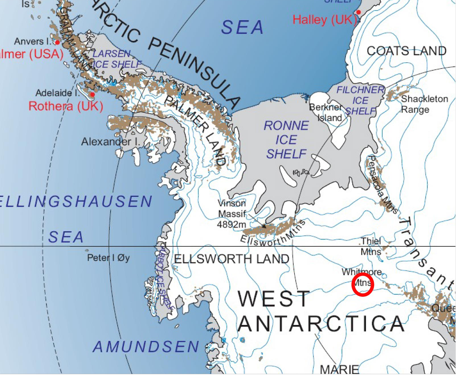
File:Map of Whitmore Mountains.png
Jump to navigation
Jump to search
Size of this preview: 721 × 600 pixels. Other resolution: 1,601 × 1,332 pixels.
Original file (1,601 × 1,332 pixels, file size: 1.79 MB, MIME type: image/png)
Map showing the arrangement of the Whitmore Mountains.
File history
Click on a date/time to view the file as it appeared at that time.
| Date/Time | Thumbnail | Dimensions | User | Comment | |
|---|---|---|---|---|---|
| current | 02:21, 13 June 2020 | | 1,601 × 1,332 (1.79 MB) | Baron of Bastanchury (talk | contribs) | |
| 19:55, 15 April 2018 |  | 483 × 371 (289 KB) | Baron of Bastanchury (talk | contribs) | better map | |
| 06:34, 26 March 2018 |  | 795 × 471 (628 KB) | Westarctica (talk | contribs) |
You cannot overwrite this file.
File usage
The following page uses this file: