Whitmore Mountains
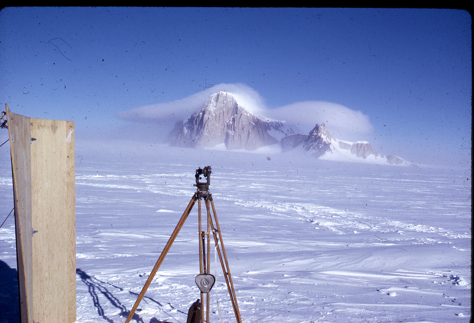
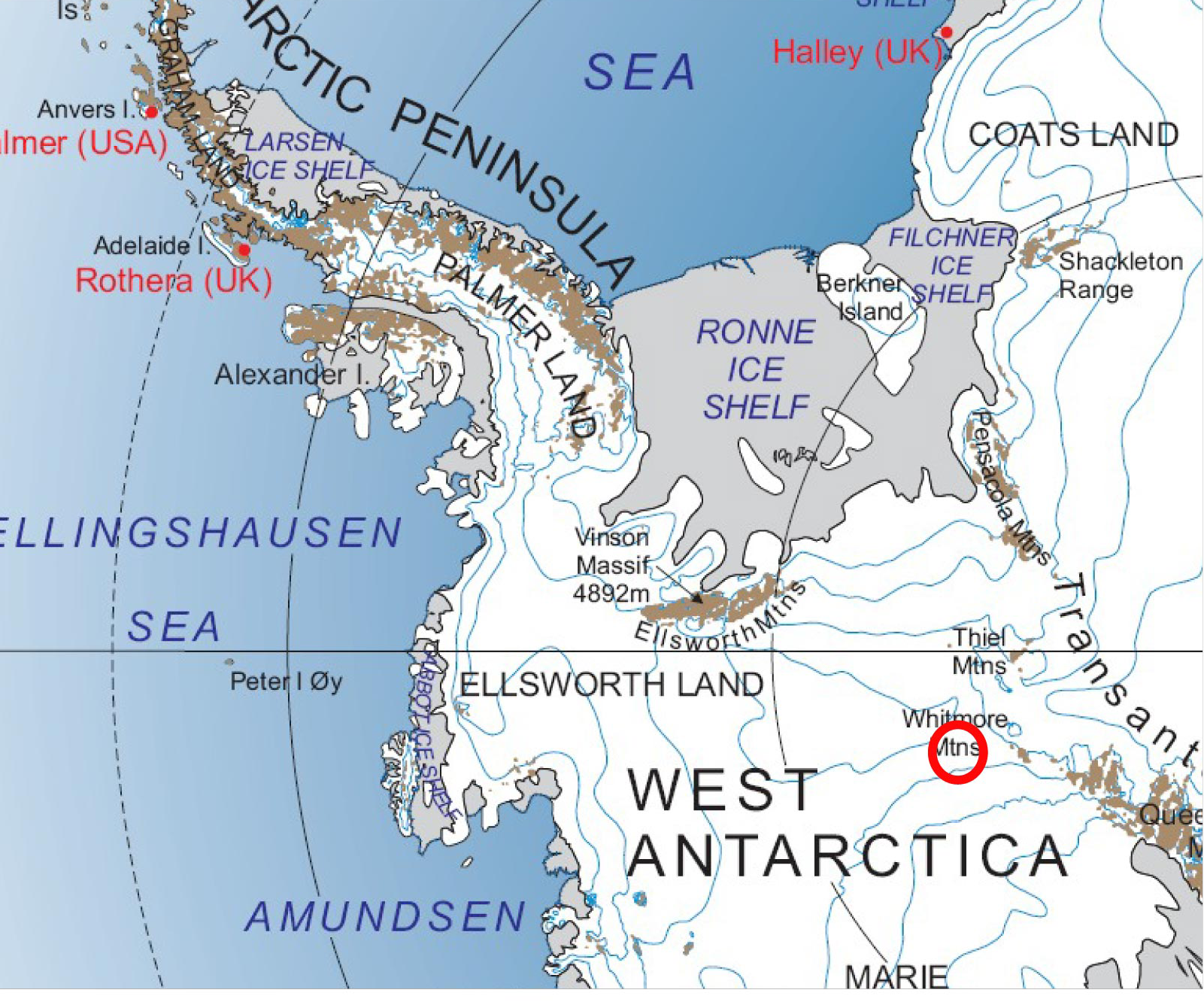
The Whitmore Mountains (Coordinates: 82°35′S 104°30′W) are an isolated mountain range of the Transantarctic Mountains System, located in the Marie Byrd Land region of Westarctica.
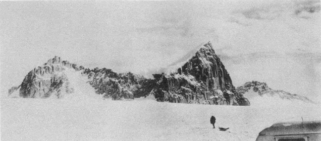
They consist of three small mountains and a cluster of nunataks arranged in a semicircular pattern extending over 15 miles. The group was visited and surveyed on January 2, 1959, by William H. Chapman, cartographer with the Horlick Mountains Traverse Party. The mountains were named by Chapman for George D. Whitmore, Chief Topographic Engineer of the United States Geological Survey (USGS), who was a member of the Working Group on Cartography of the Scientific Committee on Antarctic Research.
Viscount of Whitmore
When researching the National Geographic Atlas map of Antarctica, Grand Duke Travis was inspired by the fact that the Whitmore Mountains were located in the unclaimed section of Marie Byrd Land and they shared the name of his childhood best friend, Neil Whitmoyer. Were it not for this immediate confirmation, it is entirely possible the Grand Duke might not have decided to move forward with his plan to claim Westarctica.
In recognition of the significance of Neil's name matching so closely with this mountain range, the first title created in the Peerage of Westarctica was the "Duke of Whitmore." However, after the initial structure of the nobility was modified in 2004, the title was reduced to Viscount of Whitmore. It has remained that way ever since, although Neil has held that title continuously since 15 November 2015.
Individual mountains
Mount Seelig
Mount Seelig (82°28′S 103°54′W) is the largest and highest mountain in the Whitmore Mountains, rising to 3,020 m (9,908 ft) at the northeast end of the group. It was surveyed on January 2, 1959 by William H. Chapman of USGS, a member of the Horlick Mountains Traverse Party, 1958-59. He named the mountain after Walter R. Seelig, Office of Polar Programs, National Science Foundation, 1960–86, who developed the USGS-NSF plan for topographic mapping of Antarctica.
Mount Radlinski
- Main Article: Mount Radlinski
Mount Radlinski (82°31′S 103°34′W) is a rounded, smooth, ice-covered mountain that is 2,750 m tall located 4 miles southeast of Mount Seelig in the northeast part of the Whitmore Mountains. It was surveyed on January 2, 1959 by William H. Chapman, a member of the Horlick Mountains Traverse (1958-59). Mount Radlinski was named by Chapman after William A. Radlinski, United States Geological Survey (USGS) photogrammetrist, 1949-79.
One of Westarctica's oldest noble titles, Countess of Radlinski, draws its name from this mountain. It was granted to Jeanne Morin in 2002. Her title was taken from this mountain range due to her close friendship with the Viscount of Whitmore, Neil Whitmoyer.
Mount Chapman
- Main article: Mount Chapman
Mount Chapman (82°35'S 105°55'W) is a triple-peaked mountain mountain rising to 2715 m high. It has very steep sides and a large rock cliff on its north side, situated at the western end of the Whitmore Mountains. Named by Advisory Committee on Antarctic Names for William H. Chapman of U.S. Geological Survey, cartographer with the Horlick Mountains Traverse (1958-59), who made a survey of the Whitmore Mountains on Jan. 2, 1959.
Westarctica's Countess of Chapman draws her title from this mountain.
Other features
Linck Nunataks
Linck Nunataks (82°41′S 104°12′W) is a group of four small, ice-covered nunataks at the southeast end of the Whitmore Mountains. Three of the nunataks are together and aligned while the fourth lies 2.5 miles distant.
They were visited and surveyed on January 2, 1959 by the Horlick Mountains Traverse Party. William H. Chapman, party surveyor, proposed the naming for M. Kerwin Linck, Chief of the Branch of Special Maps of the USGS.
Geology of the mountains
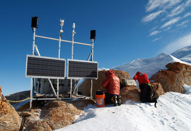
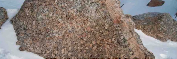
Bedrock consists of predominant igneous rocks and minor meta-sedimentary rocks. The Mount Seelig Granite, a coarsely crystalline porphyritic granite, comprises approx 95% of the exposed bedrock. A second granite, the Linck Nunataks Granite, is a finely crystalline equigranular rock that crosscuts the Mount Seelig Granite. The Linck Nunataks Granite is considered to be a late-phase differentiate of the Mount Seelig Granite.
Radiometric apparent ages (K/Ar) of the two granites support this conclusion. The Mount Seelig Granite is Late Triassic in age (190+ or -8Ma) and the Linck Nunataks Granite is Early Jurassic in age (176+ or -5Ma). Metasedimentary rocks make up a small proportion of the bedrock and consist primarily of roof pendants and blocks within the Mount Seelig Granite. The thickest exposed sequence of metasedimentary rocks is approx 800m thick. Rock types include phyllite, slate, graywacke, subarkose, and impure quartzites. Because of insufficient knowledge of the stratigraphy, the metasedimentary rocks have not been given formational status.
If the surrounding ice melted, the Whitmore Mountains would stand as a SW-trending peninsula attached to the narrow landmass extending S from the Ellsworth Mountains. Radiometric ages obtained on the Mount Seelig and the Linck Nanataks Granites indicate that they belong to the West Antarctic tectonic province (Ellsworth orogen) formed by the Ellsworth Mountains and certain nunataks to the south.
