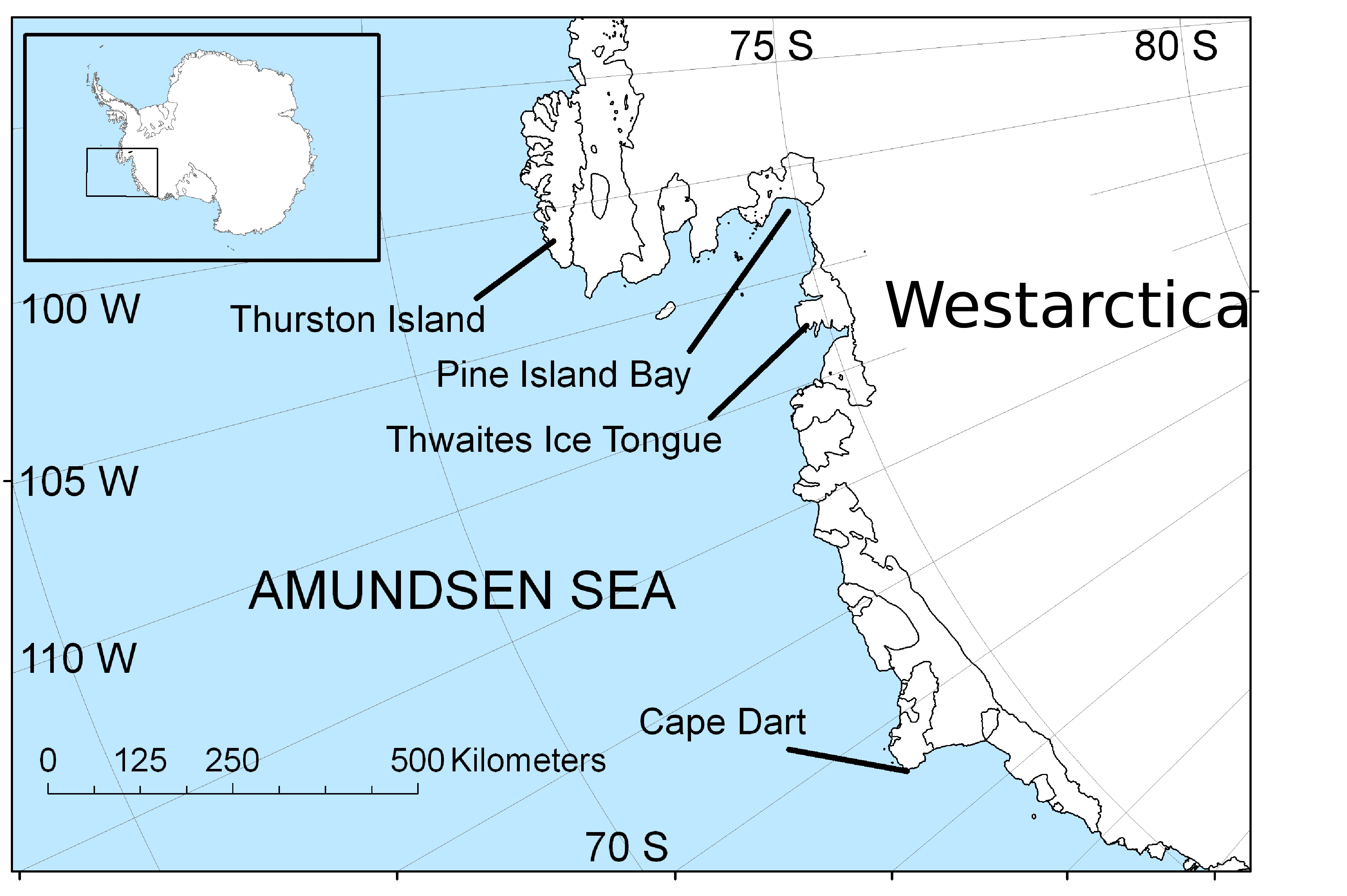
File:AmundsenSea-map.jpg
Jump to navigation
Jump to search
Size of this preview: 800 × 532 pixels. Other resolutions: 2,560 × 1,703 pixels | 3,729 × 2,481 pixels.
Original file (3,729 × 2,481 pixels, file size: 1.4 MB, MIME type: image/jpeg)
Description English: Map of the Amundsen Sea area of Antarctica Date 30 April 2009 Source Own work Author Polargeo
Source: Wikimedia Commons
File history
Click on a date/time to view the file as it appeared at that time.
| Date/Time | Thumbnail | Dimensions | User | Comment | |
|---|---|---|---|---|---|
| current | 11:43, 7 April 2018 | | 3,729 × 2,481 (1.4 MB) | Baron of Bastanchury (talk | contribs) | |
| 19:38, 30 March 2018 | 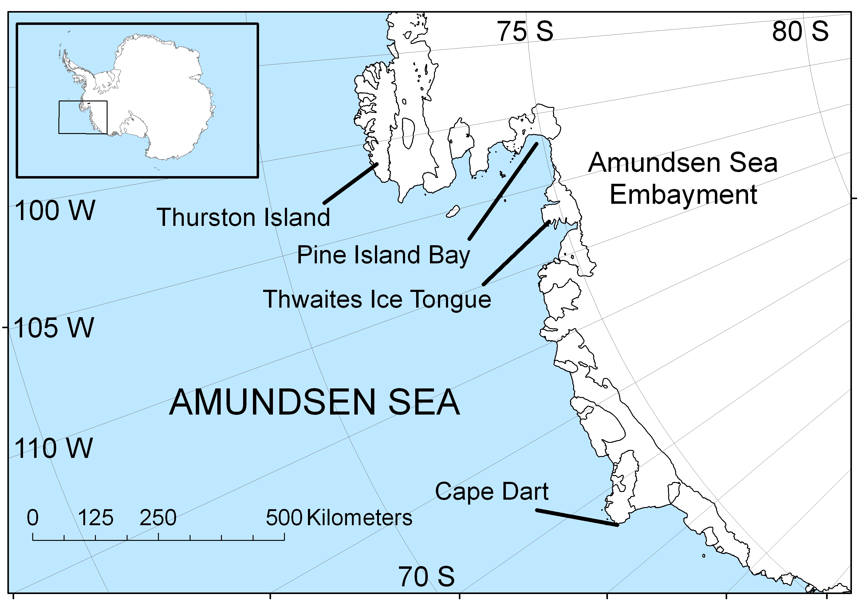 | 2,808 × 1,985 (1.12 MB) | Westarctica (talk | contribs) |
You cannot overwrite this file.
File usage
The following page uses this file: