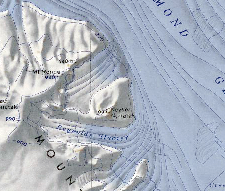
Keyser Nunatak
Keyser Nunatak (77°36′S 145°55′W) is a large nunatak, 605 meters (1,985 ft) high, at the north side of the terminus of the Reynolds Glacier, in the Haines Mountains.
Discovery and name
The nunatak was mapped by the United States Antarctic Service during the years 1939–41 and by the United States Geological Survey from surveys and U.S. Navy air photos collected during the years 1959–65. Keyser Nunatak was named by the Advisory Committee on Antarctic Names in honor of Lieutenant Teddy H. Keyser, U.S. Navy, who served as a navigator on various LC-130F Hercules aircraft during Operation Deep Freeze 1968.
