Difference between revisions of "Krigsvold Nunataks"
Jump to navigation
Jump to search
Westarctica (talk | contribs) (Created page with "The '''Krigsvold Nunataks''' (75°38′S 137°55′W) are a small cluster of isolated nunataks located directly at the head of Strauss Glacier, in Westarctica. ==...") |
Westarctica (talk | contribs) (added map) |
||
| Line 1: | Line 1: | ||
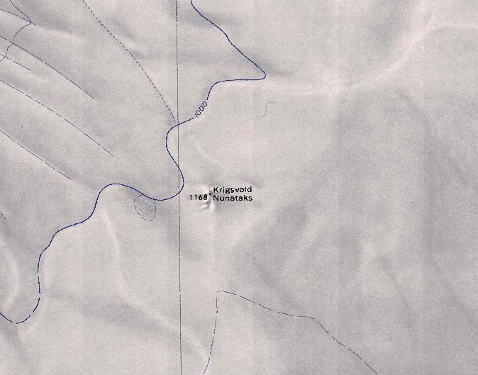
[[File:Krigsvold Nunataks.png|350px|thumb|Map showing the Krigsvold Nunataks]] | |||
The '''Krigsvold Nunataks''' (75°38′S 137°55′W) are a small cluster of isolated [[nunatak]]s located directly at the head of [[Strauss Glacier]], in [[Westarctica]]. | The '''Krigsvold Nunataks''' (75°38′S 137°55′W) are a small cluster of isolated [[nunatak]]s located directly at the head of [[Strauss Glacier]], in [[Westarctica]]. | ||
Revision as of 20:12, 22 August 2023
The Krigsvold Nunataks (75°38′S 137°55′W) are a small cluster of isolated nunataks located directly at the head of Strauss Glacier, in Westarctica.
Discovery and name
The nunataks were mapped by the United States Geological Survey from surveys and U.S. Navy air photos collected during the years 1959–65. The Krigsvold Nunataks were named by the Advisory Committee on Antarctic Names after U.S. Army Sergeant Alvin I. Krigsvold, who served as a member of the Army–Navy Trail Party that blazed a trail from Little America V to establish Byrd Station in 1956.
